The best road cycling routes in Rogue River-Siskiyou National Forests
4.8
(17)
399
riders
44
rides
Road cycling routes in Rogue River-Siskiyou National Forests traverse a diverse landscape featuring winding roads, mountainous terrain, and significant elevation changes. The region spans 1.8 million acres, characterized by old-growth forests, rugged Siskiyou Mountain peaks, and the flowing Rogue River. Paved roads offer varied riding experiences, from challenging climbs to more moderate routes through valleys and alongside waterways. This area provides a distinct Pacific Northwest road biking terrain.
Best road cycling routes in Rogue River-Siskiyou National Forests
- The most popular…
Last updated: October 1, 2026
5.0
(1)
2
riders
69.5km
03:53
1,320m
1,320m
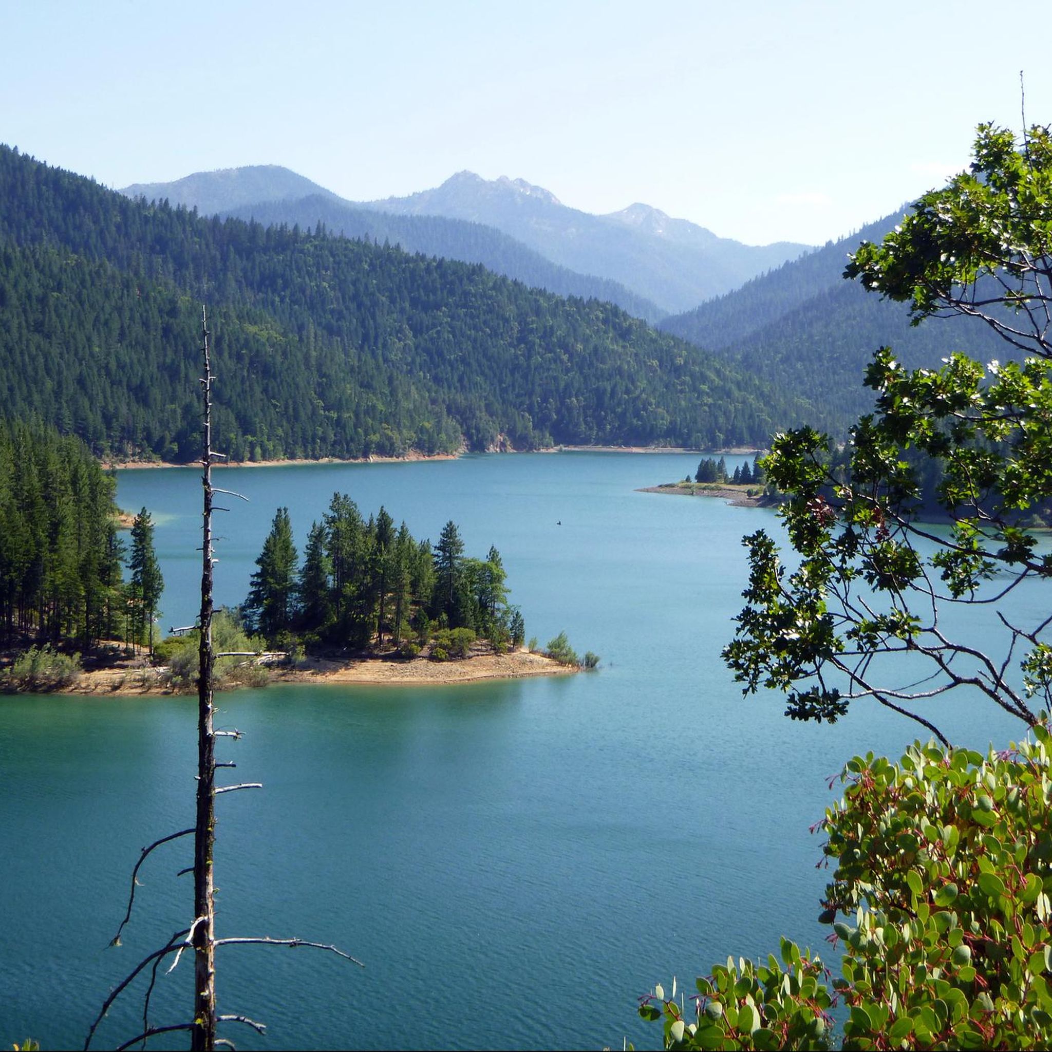
Cycle the difficult 43.2-mile Powers to Agness Saddle route in Rogue River-Siskiyou National Forest, gaining 4333 feet through ancient fores
11
riders
47.8km
02:31
440m
440m
Moderate road ride. Good fitness required. Some segments of this route may be unpaved and difficult to ride.

17
riders
49.2km
02:29
790m
790m
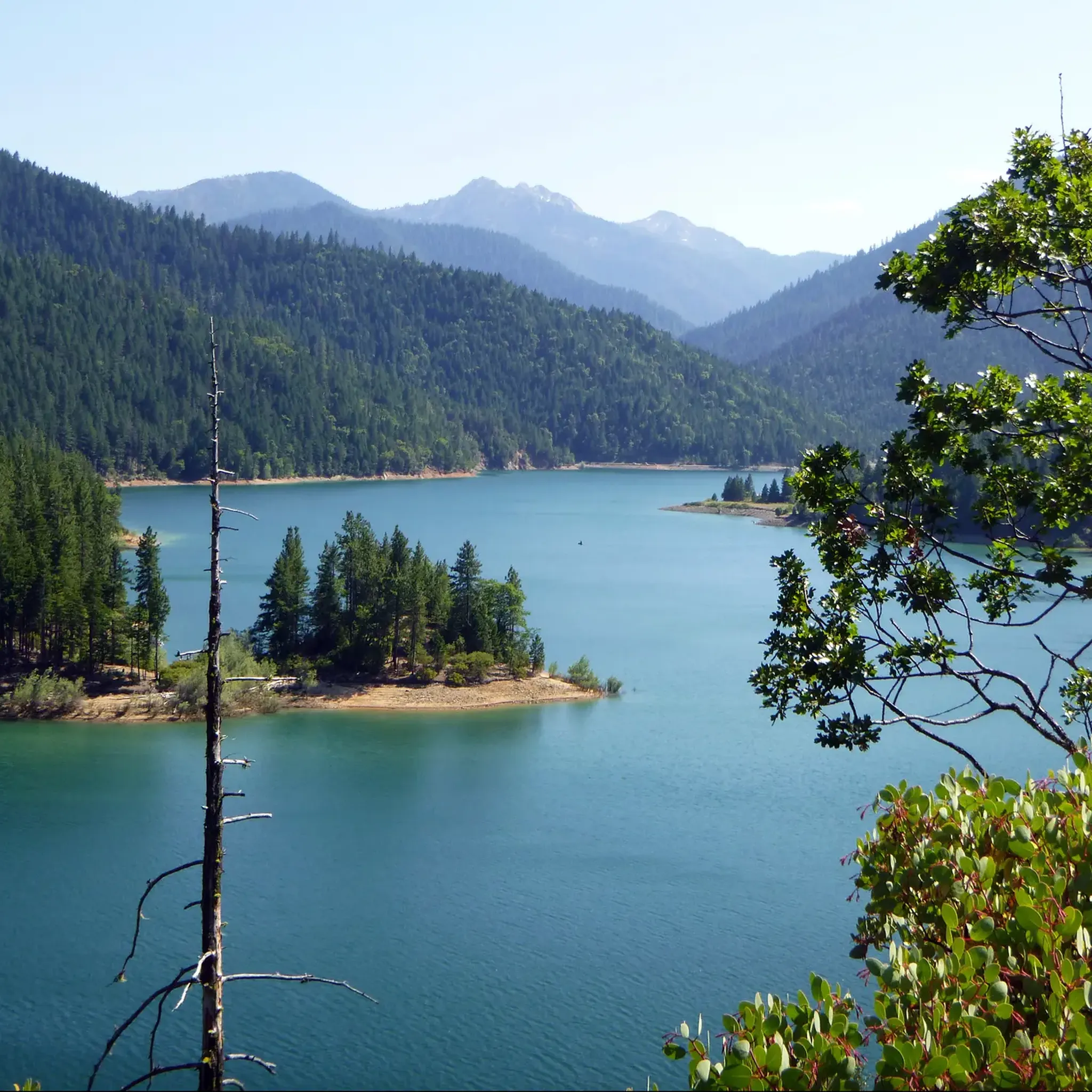
Cycle the moderate 30.6-mile La Marre Reservoir & Reiten Drive loop in Ashland, Oregon, featuring scenic views and 2602 feet of gain.
10
riders
31.1km
01:28
300m
300m
The Bear Creek Greenway and West Valley View Road Loop offers a dynamic road cycling experience, blending the flat, paved multi-use path of the Bear Creek Greenway with the scenic,…
5.0
(1)
4
riders
28.7km
01:18
240m
240m
Easy road ride. Great for any fitness level. Mostly well-paved surfaces and easy to ride.
Get access to more routes and recommendations from other explorers.
Already have an account?
Our route recommendations are based on thousands of hikes, rides, and runs completed by other people on komoot.
Start today with a free account
Your next adventure awaits.
Popular around Rogue River-Siskiyou National Forests

Other adventures in Rogue River-Siskiyou National Forests

Tips from the Community

The Rogue River Bridge, also known as the Isaac Lee Patterson Bridge, was completed in 1932 and named after the Oregon governor who advocated for its construction. It offers a fantastic view where the Rogue River meets the Pacific Ocean. As you cross the bridge, you will likely see a variety of boats on the river, including fishing vessels, pleasure crafts, and the famous Rogue River jet boats. Keep an eye out for coastal birds such as seagulls and pelicans, and during migration seasons, you might even spot whales in the distance.
0
0
Otter Point Recreation Site is a secret paradise on the Oregon Coast. This unmarked gem requires insider knowledge to find, but a short, effortless walk from the parking area leads to the breathtaking Otter Point, a sandstone peninsula high above the Pacific. On a clear day, you can see nearly 100 miles of coastline, from Cape Blanco down to northern California. There are beaches on either side of the point, perfect for finding your own secluded spot to enjoy this beautiful place.
0
0

This small street is named after Guanajuato in Central Mexico. Ashland and Guanajuato have had a Sister City & Sister University relationship for over 50 years. Each year, students from each city go on a cultural & educational exchange, as both cities are known for their artistic nature and universities. The street itself is tucked between Ashland Creek and the Downtown commercial district. Numerous restaurants offer outdoor seating by the creek.
0
0
Callahan's Lodge is a go-to spot for hikers coming in from the Pacific Crest Trail. There is a restaurant here with an outdoor patio, and it is the perfect pit stop for a quick refuel and a chance to take in the beautiful surroundings before heading back on the road.
0
0
When planning a loop ride, be sure to include this section of West Valley Road. The area is bounded by breathtaking natural scenery, with the picturesque Cascade and Siskiyou mountain ranges just a stone's throw away.
0
0
The Bear Creek Greenway is a multi-use paved pathway that spans 18 miles, connecting Phoenix, Medford, and Central Point. Along the way, you will find several community parks with restrooms, drinking water, playgrounds, and picnic areas. The path provides easy access to many local restaurants, coffee shops, and bike shops, making it a perfect route for a day out with friends or family.
1
0
This beautiful district in Ashland is rich in history and filled with exceptional galleries, restaurants, and shops. As you ride along this stretch, you may be tempted to take photos of the beautiful buildings along the way or stop at a local bakery for a fresh loaf of bread to take with you for a picnic.
0
0
The Bear Creek Greenway is a multi-use paved pathway that spans 18 miles, connecting Phoenix, Medford, and Central Point. Along the way, you will find several community parks with restrooms, drinking water, playgrounds, and picnic areas. The path provides easy access to many local restaurants, coffee shops, and bike shops, making it a perfect route for a day out with friends or family.
1
0
Frequently Asked Questions
How many road cycling routes are available in Rogue River-Siskiyou National Forests?
There are nearly 50 road cycling routes available in the Rogue River-Siskiyou National Forests, offering a wide range of experiences from moderate loops to challenging climbs through diverse landscapes.
What kind of terrain can I expect on road cycling routes in the Rogue River-Siskiyou National Forests?
The region offers diverse terrain, from winding mountain roads with significant elevation changes to more moderate routes through river valleys and alongside waterways. You'll encounter old-growth forests, rugged Siskiyou Mountain peaks, and the crystal-clear Rogue River.
What is the best time of year for road cycling in the Rogue River-Siskiyou National Forests?
The Rogue River-Siskiyou National Forests offer excellent road cycling opportunities, particularly during the warmer months when mountain passes are clear and weather is generally favorable. Spring and fall provide pleasant temperatures and vibrant scenery, while summer is ideal for exploring higher elevations.
Are there easy road cycling routes suitable for beginners or families?
Yes, there are several easier options. For instance, the La Marre Reservoir & Reiten Drive loop near Ashland is a moderate 30.6-mile paved route with scenic waterside views, suitable for various fitness levels. The planned Rogue River Greenway also offers accessible sections for cycling.
Are there challenging road cycling routes for experienced riders?
Absolutely. The region is known for its demanding routes with substantial elevation gain. A prime example is the Powers to Agness Saddle route, a difficult 43.2-mile trail that takes nearly four hours to complete and features significant climbs through remote forest areas. The Hyatt & Howard Prairie Lake Loop is another difficult and longer touring option.
What natural landmarks or scenic viewpoints can I see while road cycling?
You can encounter several natural wonders. The Natural Bridge, where the Rogue River flows through an ancient lava tube, and the dramatic Rogue Gorge are prominent features. You might also catch glimpses of Mount McLoughlin, the tallest volcano between Mount Shasta and South Sister, offering breathtaking views.
Are there opportunities to spot wildlife along the road cycling routes?
Yes, the diverse environment of the Rogue River-Siskiyou National Forests provides opportunities to spot various wildlife. Cyclists often report seeing deer and a variety of bird species, especially in the quieter, more remote sections of the routes.
Can I find circular road cycling routes in the Rogue River-Siskiyou National Forests?
Yes, many routes are designed as loops. The Bear Creek Greenway and West Valley View Road Loop is a popular 19.3-mile option through river valleys. Another is the Rogue River Bridge loop from Kimball Hill, offering scenic views.
What do other road cyclists enjoy most about cycling in this region?
The area is highly rated by the komoot community, with an average score of 4.6 stars. Reviewers often praise the diverse landscapes, from towering old-growth forests to rugged mountain peaks, and the unique experience of cycling along winding, remote roads that immerse them in the scenic beauty of the Pacific Northwest.
Are there any specific scenic bikeways for road cyclists in the area?
Yes, the region features dedicated scenic bikeways. The Wild Rivers Coast Scenic Bikeway, located outside of Port Orford, offers incredible opportunities for road cyclists along the coast. Additionally, the Glendale-Powers Bicycle Recreation Area provides another excellent road cycling experience between Glendale and Powers along the Coquille River.
Are there any routes that follow the Rogue River?
The Rogue River is a prominent feature of the region. While some routes may offer glimpses, the Rogue River Greenway is a planned collection of parks and public access areas along the river, between Central Point and Grants Pass, which includes sections of pedestrian and bicycle routes already completed for scenic rides.
Are there any routes that pass through redwood patches?
The forest contains isolated patches of redwoods. While not specifically road cycling routes, two short old-growth redwood trails, the Redwood Nature Trail and the Oregon Redwoods Trail, are nearby and offer a unique natural experience if you wish to explore off the bike.
Most popular routes in Rogue River-Siskiyou National Forests
Most popular attractions in Rogue River-Siskiyou National Forests

Get inspired with the komoot mobile app


Explore more
Browse the best Road cycling routes in other regions.
