The best road cycling routes in Umpqua National Forest
5.0
(1)
171
riders
16
rides
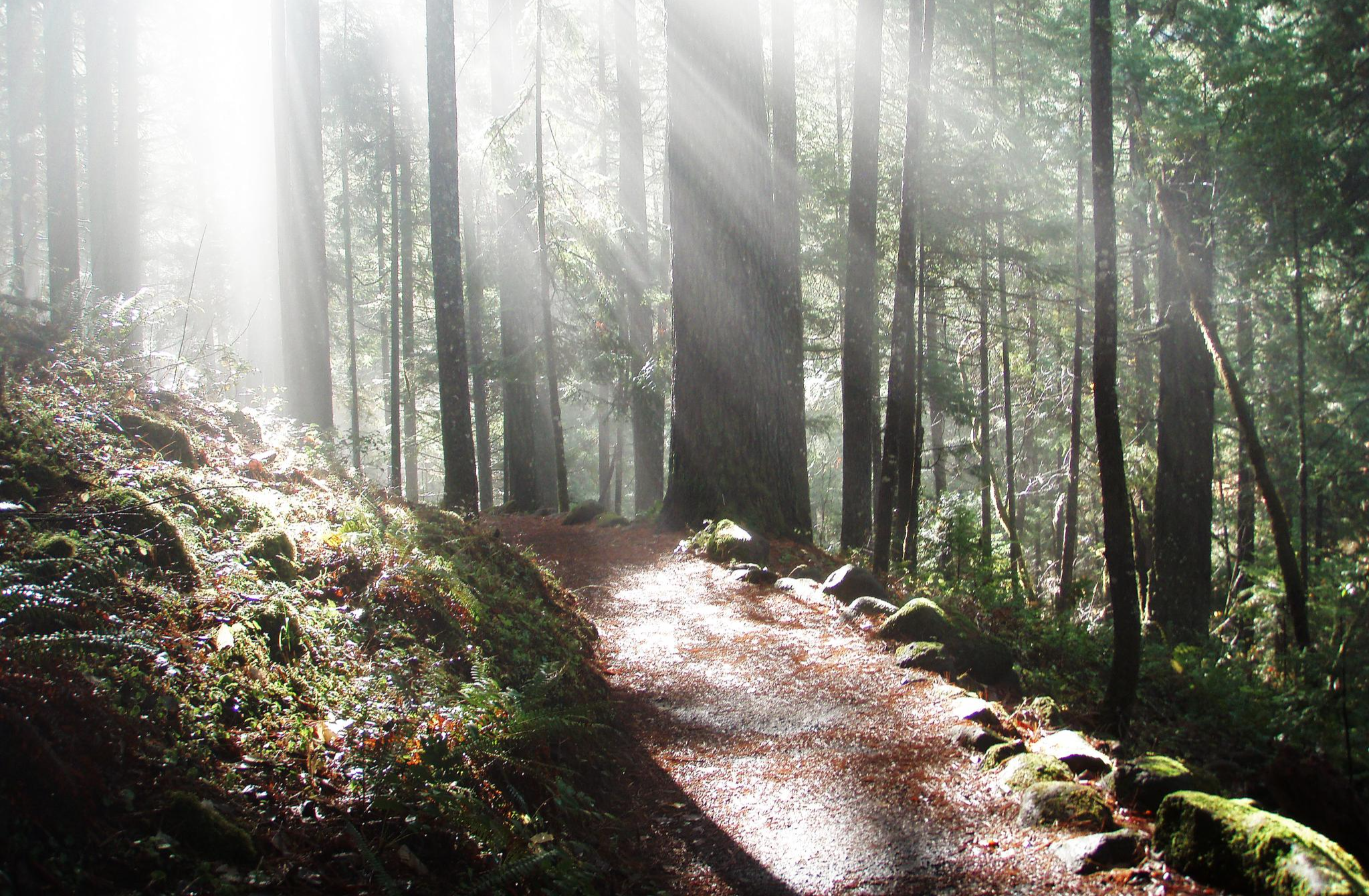
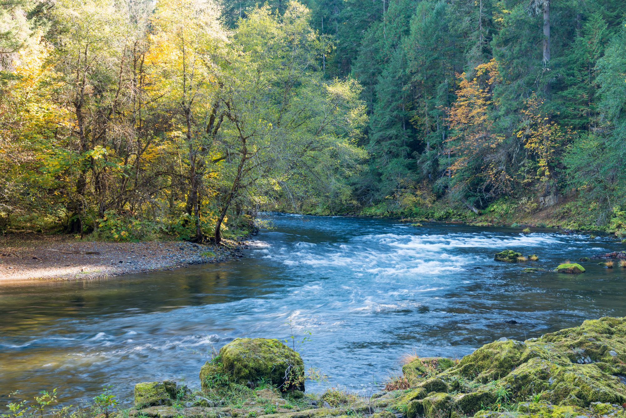
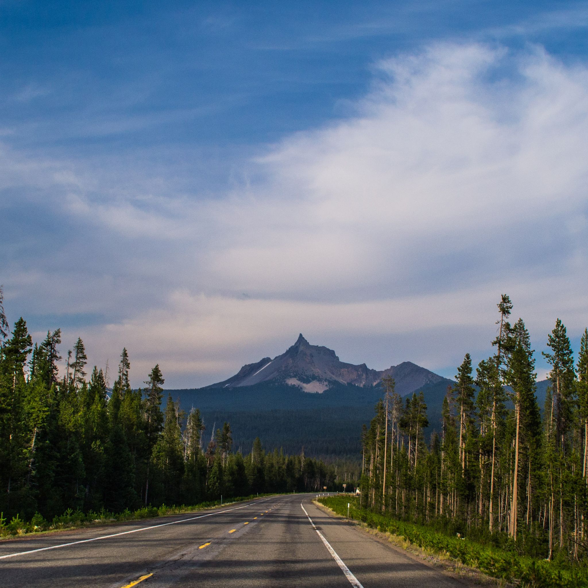
Road cycling routes in Umpqua National Forest traverse a landscape characterized by rugged mountains, pristine rivers, and lush forests within Oregon's Cascade Range. The region features diverse topography, including volcanic basalt formations and deep canyons, offering varied terrain for cyclists. Towering Douglas firs and ponderosa pines line many routes, providing a natural setting. This extensive network of scenic byways and paved surfaces makes it a notable destination for road cycling.
Best road cycling routes in Umpqua National Forest
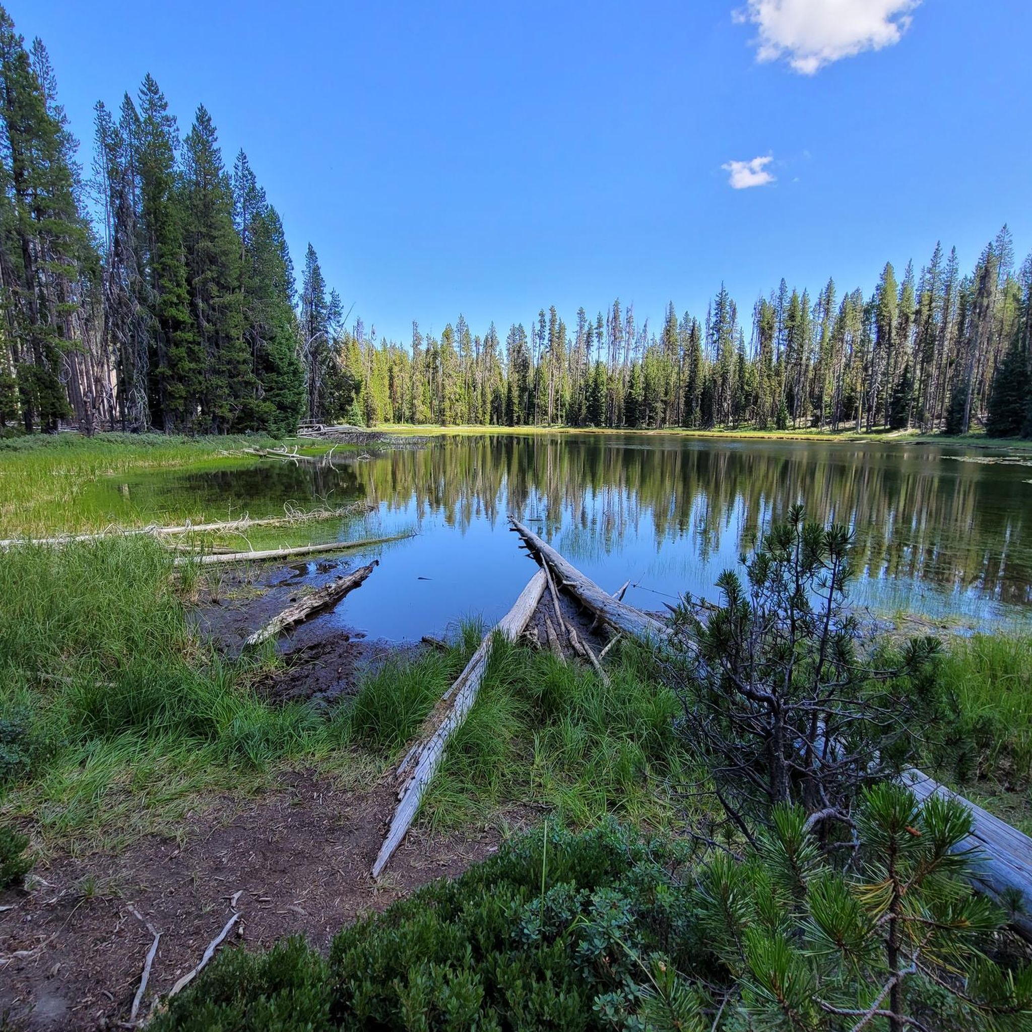
- The most popular road cycling route is Teal Lake loop from Diamond Lake, a 13.0 miles (20.9 km) trail that takes 1 hour 40 minutes to complete. This moderate route circles Teal Lake, offering views of the surrounding forest.
- Another top favourite among local road cyclists is Cleetwood Cove – Phantom Ship Overlook loop from Howlock Mountain Trailhead, a difficult 65.0 miles (104.6 km) path. This route features significant elevation gain, passing through mountainous terrain.
- Local road cyclists also love the Covered Bridges Scenic Bikeway, a 22.7 miles (36.5 km) trail leading through areas with historic covered bridges, often completed in about 1 hour 29 minutes.
- Road cycling in Umpqua National Forest is defined by rugged mountains, pristine rivers, and lush forests. The network offers options for various ability levels, from easy scenic rides to challenging climbs.
- The routes in Umpqua National Forest are highly rated by the komoot community with an average score of 5.0 stars from over 4 reviews. More than 400 road cyclists have used komoot to explore Umpqua National Forest's varied terrain.
Last updated: June 28, 2026
10
riders
36.5km
01:29
220m
220m
The Covered Bridges Scenic Bikeway near Cottage Grove, Oregon, offers a delightful and largely traffic-free road cycling experience, perfect for a relaxed day out. You'll pedal along the smoothly paved Row River Trail, an old railroad bed, winding through lush forests, open farm country, and past the tranquil waters of Dorena Lake. The route's true charm lies in its namesake historic covered bridges, such as the Mosby Creek Covered Bridge, which punctuate the scenic journey.
This easy 22.7-mile (36.5 km) route, with a gentle 710 feet (216 metres) of elevation gain, takes about 1 hour and 29 minutes to complete. It's accessible year-round and starts conveniently in Cottage Grove's historic downtown, where you'll find places to grab a coffee or a bite. While mostly flat, there's an optional short, steep hill on Garoutte Road for those wanting a bit more challenge, but you can easily bypass it by sticking to the main trail.
Beyond the beautiful bridges, the bikeway is notable for its flexibility, allowing riders to customize their experience from a family-friendly out-and-back to a full loop. Keep an eye out for the orange train trestle featured in the movie "Stand By Me" along the way. This trail is a fantastic option if you're looking for a scenic, low-stress ride with plenty of historical character.
24
riders
38.3km
01:33
200m
200m
Easy road ride. Great for any fitness level. Mostly well-paved surfaces and easy to ride.

Sign up for free
5
riders
41.5km
01:54
370m
380m
Moderate road ride. Good fitness required. Mostly well-paved surfaces and easy to ride.
9
riders
Pedal through history and scenic beauty on the Mosby Creek Covered Bridge – Currin Covered Bridge loop, an easy road cycling route that winds through the charming countryside near Cottage Grove. This 18.2-mile (29.3 km) journey, with a gentle 471 feet (144 metres) of elevation gain, takes you past the tranquil Dorena Lake, through verdant forests, and across open farmland. The highlight is undoubtedly the collection of historic covered bridges, including the iconic Mosby Creek Bridge and Currin Bridge, making for a truly unique and picturesque ride that can be completed in about 1 hour and 9 minutes.
Starting from Cottage Grove, you'll find ample parking and amenities along the route, including multiple bathroom stops and picnic areas, perfect for a leisurely outing. The predominantly paved path, including sections of the smooth Row River Trail, ensures a comfortable experience for almost any rider. While the route is generally mild, you can choose to bypass a short, steep climb if you prefer to keep the ride entirely flat.
This loop celebrates Cottage Grove's reputation as the "Covered Bridge Capital of the West," showcasing several of these architectural gems, many listed on the National Register of Historic Places. Beyond the bridges, the area boasts a rich history, with Cottage Grove's historic downtown offering a glimpse into the past and even serving as a filming location for classic movies like "Stand By Me" and "Animal House."
8
riders
148km
07:26
1,870m
1,870m
Hard road ride. Very good fitness required. Some segments of this route may be unpaved and difficult to ride.
Get access to more routes and recommendations from other explorers.
Sign up for free
Already have an account?
Our route recommendations are based on thousands of hikes, rides, and runs completed by other people on komoot.
Start today with a free account
Your next adventure awaits.
Login or Signup
Other adventures in Umpqua National Forest


Tips from the Community

Chambers Railroad Covered Bridge is the last remaining covered railroad bridge in Oregon, if not the entire Western US. It was originally built to haul timber to the mill in Cottage Grove, but was left to the elements after the railroad closed in the early 50s. The city took control of the bridge and refurbished it in 2011 before opening it to bicycles and pedestrians.
0
0
The Centennial Bridge is so named because it was built in celebration of Cottage Grove's 100 year anniversary. Though it is much newer than the other covered bridges in the area it is built with salvaged timber from decommissioned bridges.
0
0
Largely following along the Row River Travel, the Covered Bridges Scenic Byway will take you to 6 different covered bridges around Cottage Grove. There are multiple places to start and stop so you can make your ride as long or short as you want. As a bonus, you can also see the orange railroad bridge that was used in the classic 1980s film "Stand By Me" near the Mosby Creek Covered Bridge.
2
0
Mosby Creek is the oldest remaining covered bridge in Lane County, dating back to 1920. Like others in the area it's a great destination for cycling and is also popular with history buffs and photographers.
0
0
This park on the shore of Dorena Lake has a lot to offer. You'll find campgrounds, ball fields, picnic area, boat launches, swimming areas, and more.
0
0
Built in 1949 the Dorena Bridge is one of the newer covered bridges around Cottage Grove. Like others, this bridge has been replaced by a newer concrete bridge but its still a popular location for photographers and other visitors.
0
0
Of the many historic covered bridges in Oregon, only this one is painted two different colors. A concrete bridge was built in 1979 and after being closed for many years the bridge was refurbished and opened to pedestrian and bike traffic.
0
0

Winding through the picturesque landscapes of Row River and Dorena Reservoir, the 14-mile Row River Trail, a National Recreation Trail, traces the footsteps of the Oregon Pacific & Eastern Railroad. Discover small-town allure, scenic covered bridges, and the tranquility of Cascades at your pace.
0
0
Frequently Asked Questions
What types of landscapes will I encounter while road cycling in Umpqua National Forest?
Road cycling in Umpqua National Forest offers a diverse range of landscapes. You'll traverse rugged mountains, ride alongside pristine rivers like the North Umpqua, and pass through lush forests dominated by towering Douglas firs and ponderosa pines. The region's volcanic history is evident in features like basalt columns, and you'll find deep canyons and serene lakes, providing a constantly changing scenic backdrop.
Are there road cycling routes suitable for beginners or families?
Yes, Umpqua National Forest offers routes suitable for various skill levels. For an easier ride, consider the Covered Bridges Scenic Bikeway, which is 22.7 miles long and features historic covered bridges. Another easy option is the Currin Covered Bridge – Dorena Covered Bridge loop from Cottage Grove, offering a gentle ride through scenic areas. These routes are generally on paved surfaces, making them suitable for families and those new to road cycling.
What are some challenging road cycling routes for experienced riders?
For experienced road cyclists seeking a challenge, the Cleetwood Cove – Phantom Ship Overlook loop from Howlock Mountain Trailhead is a difficult 65.0-mile path with significant elevation gain, passing through mountainous terrain. This route will test your endurance and reward you with breathtaking views.
Are there any circular road cycling routes in the area?
Yes, several circular routes are available. A popular moderate option is the Teal Lake loop from Diamond Lake, which is 13.0 miles long and circles Teal Lake. Other loop options include the Currin Covered Bridge – Dorena Covered Bridge loop and the Currin Covered Bridge – Mosby Creek Covered Bridge loop, both offering scenic rides.
What scenic attractions or landmarks can I see along the road cycling routes?
Umpqua National Forest is rich in natural attractions. Many routes offer views of the North Umpqua River. You might also find yourself near stunning waterfalls like Toketee Falls or Fall Creek Falls. The region is also known for its historic covered bridges, particularly along the Covered Bridges Scenic Bikeway.
When is the best time of year for road cycling in Umpqua National Forest?
The best time for road cycling in Umpqua National Forest is generally from late spring through early fall. During these months, the weather is typically mild, and roads are clear of snow, offering optimal conditions to enjoy the scenic byways and routes. Always check local weather and road conditions before heading out, especially in higher elevations.
Are the road cycling routes in Umpqua National Forest primarily paved?
Yes, the road cycling routes in Umpqua National Forest are primarily on paved surfaces, making them ideal for road bikes. The region features an extensive network of scenic byways and well-maintained roads that cater to cyclists looking for smooth riding conditions.
What do other road cyclists enjoy most about road cycling in Umpqua National Forest?
The area is highly rated by the komoot community, with an average score of 5.0 stars. Road cyclists often praise the stunning and diverse landscapes, the pristine rivers, and the lush forests that provide a beautiful backdrop for their rides. The variety of routes, from easy scenic rides to challenging climbs, is also frequently highlighted.
Are there any specific regulations or permits required for road cycling in Umpqua National Forest?
Generally, no specific permits are required for road cycling on public roads within Umpqua National Forest. However, it's always advisable to be aware of general forest regulations, practice Leave No Trace principles, and respect any signage regarding private property or restricted areas. For specific multi-use trails, always check local rules.
Where can I find parking or trailheads for road cycling routes?
Parking and access points for road cycling routes are typically available at various locations throughout Umpqua National Forest, often near popular attractions, campgrounds like Toketee Lake Campground or Apple Creek Campground, or along the scenic byways. For specific routes, check the route details on komoot for suggested starting points and parking information.
Can I find places to eat or stay near the road cycling routes?
While Umpqua National Forest is a vast natural area, you can find amenities in nearby towns and communities. Diamond Lake, for instance, offers recreational activities and likely some services. Additionally, various campgrounds are available within the forest for overnight stays. For specific cafes, pubs, or accommodations, it's best to research options in the towns bordering the forest, such as Cottage Grove or those along the Rogue-Umpqua National Scenic Byway.
Most popular routes in Umpqua National Forest
Most popular attractions in Umpqua National Forest

Get inspired with the komoot mobile app


Explore more
Browse the best Road cycling routes in other regions.
