The best MTB trails in Kaibab National Forest
5.0
(4)
115
riders
16
rides
Mountain biking in Kaibab National Forest offers diverse terrain across its 1.6 million acres in northern Arizona. The region is characterized by extensive ponderosa pine forests, high plateaus, and dramatic canyons, with elevations ranging from 3,000 to over 10,000 feet. This varied landscape provides a wide array of mountain bike trails, from gentle forest paths to challenging singletrack. Riders can explore routes that weave through dense woodlands and offer views of significant natural features.
Best mountain bike trails in Kaibab…
Last updated: July 7, 2026
5.0
(1)
15
riders
38.2km
03:37
610m
600m
Embark on the Rainbow Rim Trail Loop, a moderate mountain biking adventure that takes you along the remote North Rim of the Grand Canyon. This route spans 23.8 miles (38.2…
7
riders
59.7km
05:39
960m
960m
The Rainbow Rim Trail offers a difficult mountain biking adventure, stretching for 37.1 miles (59.7 km) with a significant elevation gain of 3156 feet (962 metres). You can expect to…

Sign up for free
32.0km
03:06
580m
580m
This moderate 19.9-mile mountain biking route in Kaibab National Forest offers diverse terrain and scenic highlights like Crane Lake.
25.3km
02:03
310m
310m
Mountain bike the moderate Arizona Trail and North Canyon Loop for 15.7 miles through Kaibab National Forest with Grand Canyon views.
11.5km
01:00
140m
140m
This moderate 7.1-mile mountain biking loop combines the Ceballos Trail with sections of the Arizona Trail in Kaibab National Forest.
Get access to more routes and recommendations from other explorers.
Sign up for free
Already have an account?
Our route recommendations are based on thousands of hikes, rides, and runs completed by other people on komoot.
Start today with a free account
Your next adventure awaits.
Login or Signup
Popular around Kaibab National Forest



Other adventures in Kaibab National Forest


Tips from the Community

Baaj Nwaavjo I'tah Kukveni protects over 900,000 acres of ancestral lands surrounding the Grand Canyon, sacred to 13 tribal nations. Its name—Havasupai and Hopi for "where Indigenous peoples roam" and "our ancestral footprints"—honors deep cultural ties. The monument preserves sacred sites, rare wildlife, and vital watersheds through tribal and federal collaboration. The open plateaus, canyons, and expansive desert views are truly breathtaking.
0
0

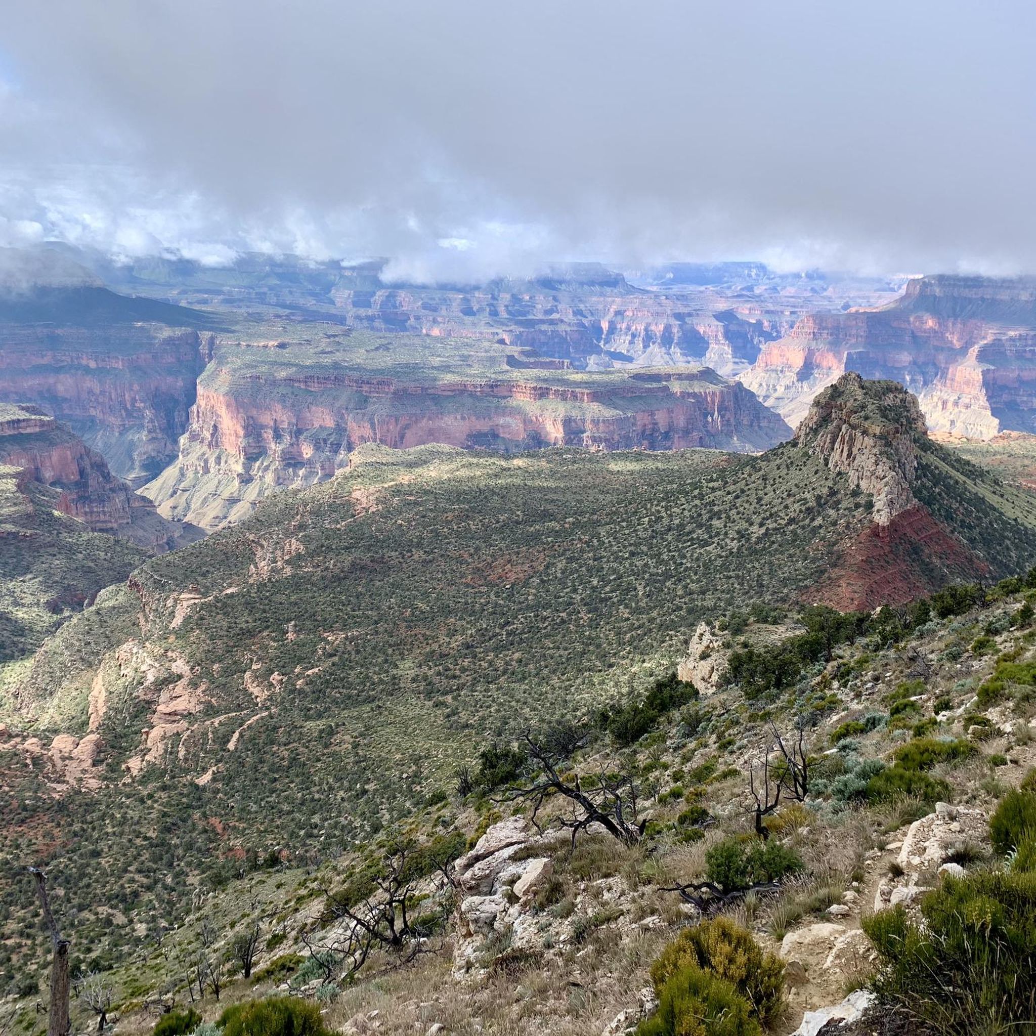
Approachable from Forest Service Road 271, Timp Point could function as a start and end point for a loop ride, and it provides the southern-most viewpoint along Rainbow Rim. The Grand Canyon at this point presents a more vegetated landscape than many may be familiar with in other more well-known locations.
0
0
Like other of the viewpoints on Rainbow Rim, Locust Point is a popular spot to sit and take in the Grand Canyon—for good reason. Sunsets are especially popular for those ending their rides here or traveling in via Forest Service Roads.
0
0
North Timp Point features a direct view of Steamboat Mountain and into the Grand Canyon looking west. You might choose this point for a snack and a quick rest depending on your itinerary. One of the best viewpoints on Rainbow Rim.
0
0
There's a parking lot near Fence Point, which also features an optional spur to the point itself—with its sparkling view west into the Grand Canyon and of Steamboat Mountain.
0
0
The northernmost trailhead along Rainbow Rim accessed by National Forest Road 214, Parissawampitts Trailhead also features views of the breathtaking geology at the Kaibab Plateau's western edge.
0
0
Featuring the Jacob Lake Inn, this area features some water and resupply options, as well as a few interesting historical structures to check out before or after your ride.
0
0
A broad, rolling valley that might strike riders as looking and feeling more alpine than desert, Pleasant Valley very much lives up to its name. All the same, always be mindful of your water supply, critically so in summer.
0
0
Frequently Asked Questions
What kind of terrain can I expect on mountain bike trails in Kaibab National Forest?
Kaibab National Forest offers a diverse range of terrain, from extensive ponderosa pine forests and high plateaus to dramatic canyonlands. You'll find trails weaving through dense woodlands, with elevations ranging from 3,000 to over 10,000 feet. This variety provides options from gentle forest paths to challenging singletrack, often with breathtaking views.
How many mountain bike trails are available in Kaibab National Forest?
There are over 10 mountain bike routes documented in Kaibab National Forest on komoot, catering to various skill levels. These include 1 easy route, 9 moderate routes, and 2 difficult routes, ensuring options for most riders.
Are there any family-friendly mountain bike trails in Kaibab National Forest?
While specific 'easy' family trails are not detailed in the provided routes, the forest's diverse terrain includes gentler forest paths suitable for less experienced riders. For a moderate option that offers scenic views without extreme difficulty, consider the Rainbow Rim Trail Loop, which is 23.8 miles long and offers views along the Grand Canyon's North Rim.
What are some notable landmarks or viewpoints I can see while mountain biking?
Many trails offer stunning vistas. The Rainbow Rim Trail, for instance, provides extensive views overlooking the Grand Canyon and the Arizona Strip. You can also explore areas near Sycamore Canyon for panoramic views, or ride sections of the historic Route 66. For specific points of interest, consider visiting Historic Route 66 in Williams or Jacob Lake and Nature Trail.
What is the best time of year for mountain biking in Kaibab National Forest?
The best time for mountain biking is generally during the warmer months when trails are clear of snow. The forest experiences a dramatic elevation range, so conditions can vary. Higher elevations feature ponderosa pine forests and aspens, which offer vibrant fall colors. Winter brings opportunities for cross-country skiing and snowmobiling, meaning some trails may be inaccessible for mountain biking during that season.
Are there any loop trails for mountain biking in the forest?
Yes, Kaibab National Forest features several excellent loop trails. The Rainbow Rim Trail Loop is a popular moderate option, and the Arizona Trail and Pleasant Valley Loop offers varied forest landscapes. Another great choice is the Arizona Trail and North Canyon Loop.
What kind of wildlife might I encounter while mountain biking?
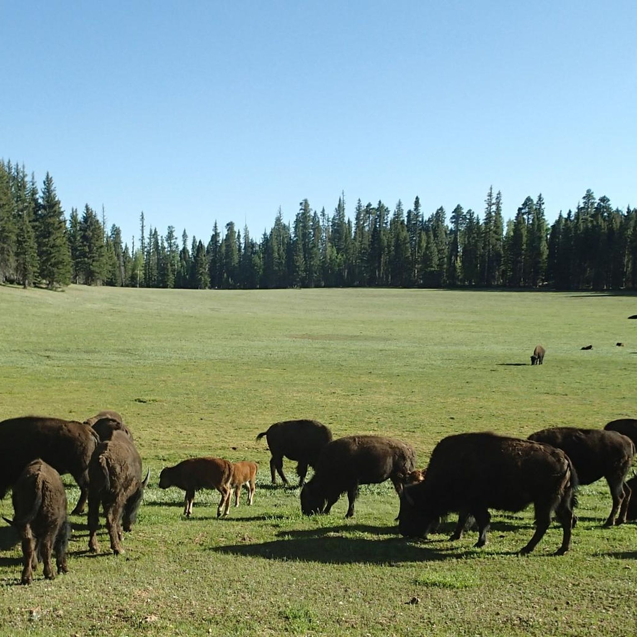
Kaibab National Forest is home to a rich variety of wildlife. Riders often spot elk, mule deer, and pronghorn. You might also see black bears, mountain lions, bobcats, and coyotes. The forest is also a haven for diverse bird species, including eagles and hawks.
What do other mountain bikers enjoy most about the trails in Kaibab National Forest?
The area is highly rated by the komoot community, with an average score of 5.0 stars from 6 reviews. Reviewers often praise the extensive ponderosa pine forests, the diverse terrain suitable for various skill levels, and the stunning views, particularly those overlooking the Grand Canyon.
Are there any specific regulations regarding e-bikes in Kaibab National Forest?
Regulations for e-bikes can vary by specific trail and land management agency. It's always best to check with the Kaibab National Forest service directly for the most current and specific policies regarding e-bike use on their trails to ensure compliance.
Where can I find amenities like cafes or accommodation near the trails?
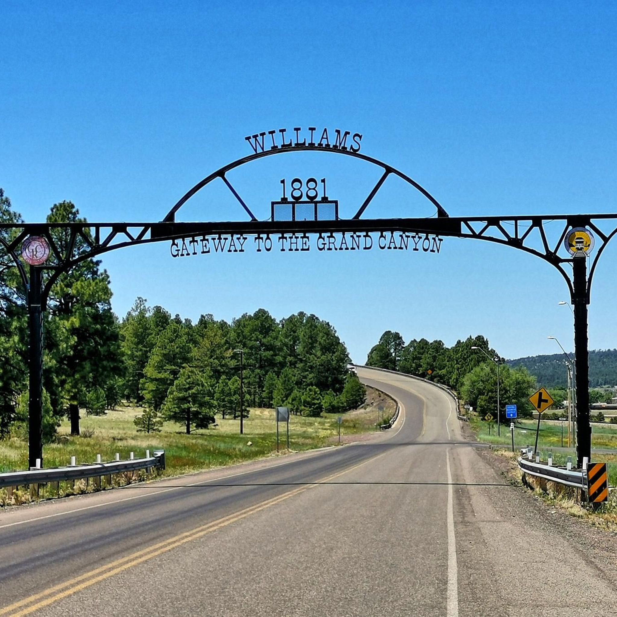
The historic railroad and lumber town of Williams serves as a gateway to the forest and the Grand Canyon, offering various amenities including cafes, pubs, and accommodation. Tusayan, near the South Rim, also provides services. On the North Rim side, Jacob Lake has some facilities.
Are there any difficult mountain bike routes for experienced riders?
Yes, for experienced riders seeking a challenge, Kaibab National Forest offers difficult routes. The Rainbow Rim Trail is a difficult 37.1-mile path with significant elevation changes, providing extensive vistas. Another challenging option is the Navajo and Arizona Trail Loop, which covers nearly 36.5 miles with over 1100 meters of elevation gain.
Most popular routes in Kaibab National Forest
Most popular attractions in Kaibab National Forest

Get inspired with the komoot mobile app


Explore more
Browse the best MTB trails in other regions.
