The best road cycling routes in Inyo National Forest
4.8
(7)
983
riders
31
rides
Road cycling in Inyo National Forest offers diverse landscapes across nearly two million acres, spanning California's Eastern Sierra and a portion of western Nevada. The region features hundreds of miles of paved roads and highways, including U.S. Highway 395, which traverses Owens Valley and scenic canyons. Cyclists encounter significant elevation changes, towering peaks, alpine lakes, and volcanic formations. This varied terrain provides routes ranging from moderate paths around lakes to challenging climbs through high mountain passes.
Best road cycling routes…
Last updated: July 7, 2026
5.0
(1)
124
riders
23.7km
01:22
430m
430m
Get ready for a moderate road cycling adventure on the Lakes Basin Path, a route spanning 14.7 miles (23.7 km). You will climb 1404 feet (428 metres) over an estimated…
64
riders
35.5km
01:37
370m
380m
Embark on the June Lake Loop, a moderate road cycling route spanning 22.1 miles (35.5 km) with an elevation gain of 1229 feet (375 metres). This scenic journey, estimated to…

Sign up for free
5.0
(1)
63
riders
25.5km
01:15
370m
370m
Embark on the Mammoth Scenic Loop, a moderate racebike route spanning 15.8 miles (25.5 km) through the Inyo National Forest. You will experience a rewarding ride with 1224 feet (373…
19
riders
95.6km
05:25
1,820m
1,820m
Cycle 59.4 miles from Lee Vining to Olmsted Point via Tioga Pass Road, gaining 5967 feet through Yosemite's stunning high country.
16
riders
34.5km
01:38
430m
430m
The road cycling route from Mammoth Lakes to Convict Lake offers a truly scenic journey through the Eastern Sierra. You'll pass through varied landscapes, from pine forests near Mammoth Lakes…
Get access to more routes and recommendations from other explorers.
Sign up for free
Already have an account?
Our route recommendations are based on thousands of hikes, rides, and runs completed by other people on komoot.
Start today with a free account
Your next adventure awaits.
Login or Signup
Popular around Inyo National Forest

John Muir Trail – Along the legendary trail through the magical Sierra Nevada

The Sierra High Route — Solitude in California's alpine country

Pacific Crest Trail from Mexico to Canada – 4,200 kilometres of wilderness
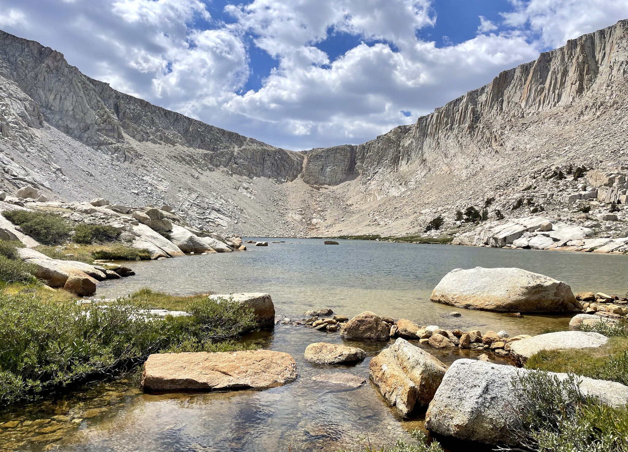
Cottonwood Lakes Loop — Exploring the Golden Trout Wilderness
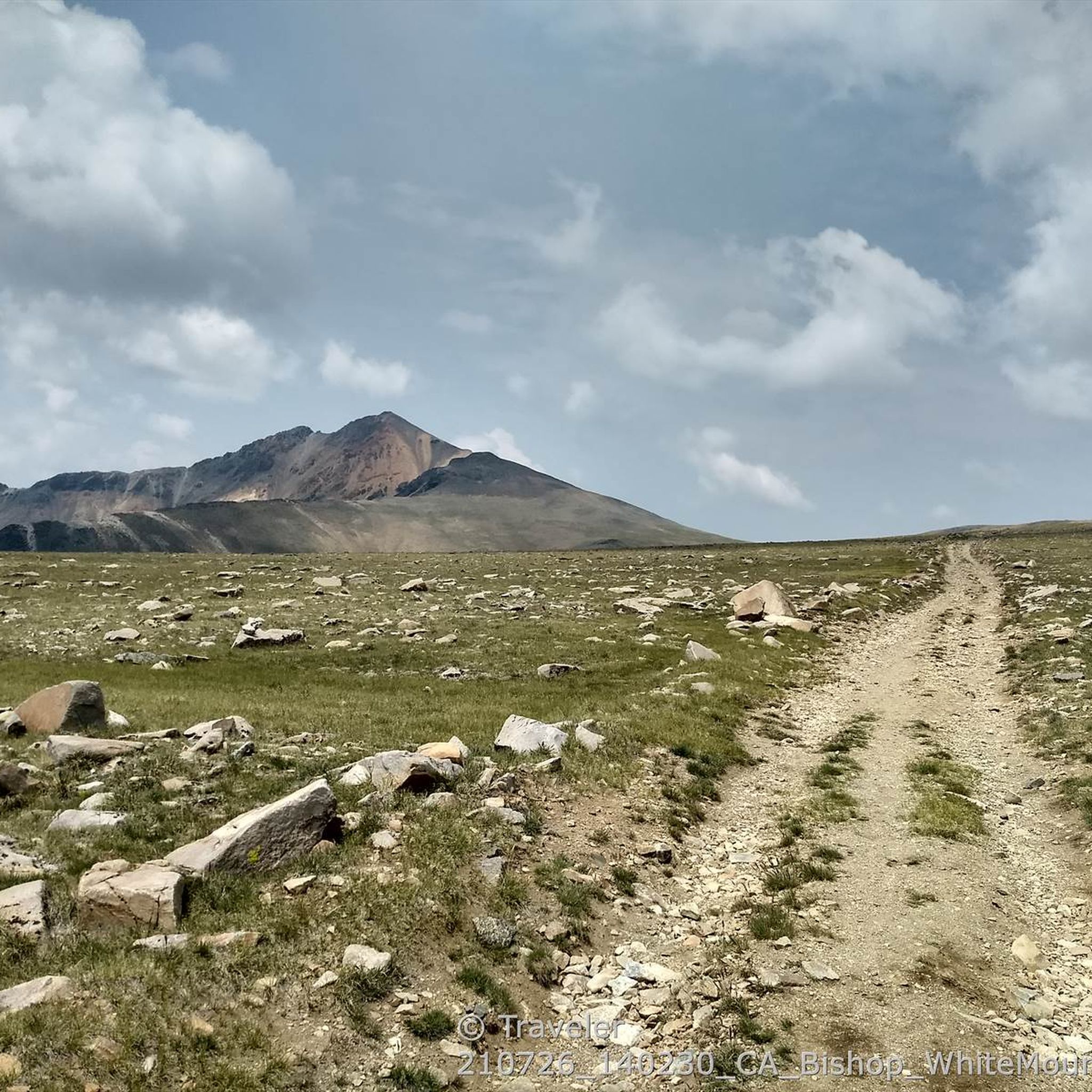
Hiking in Inyo National Forest
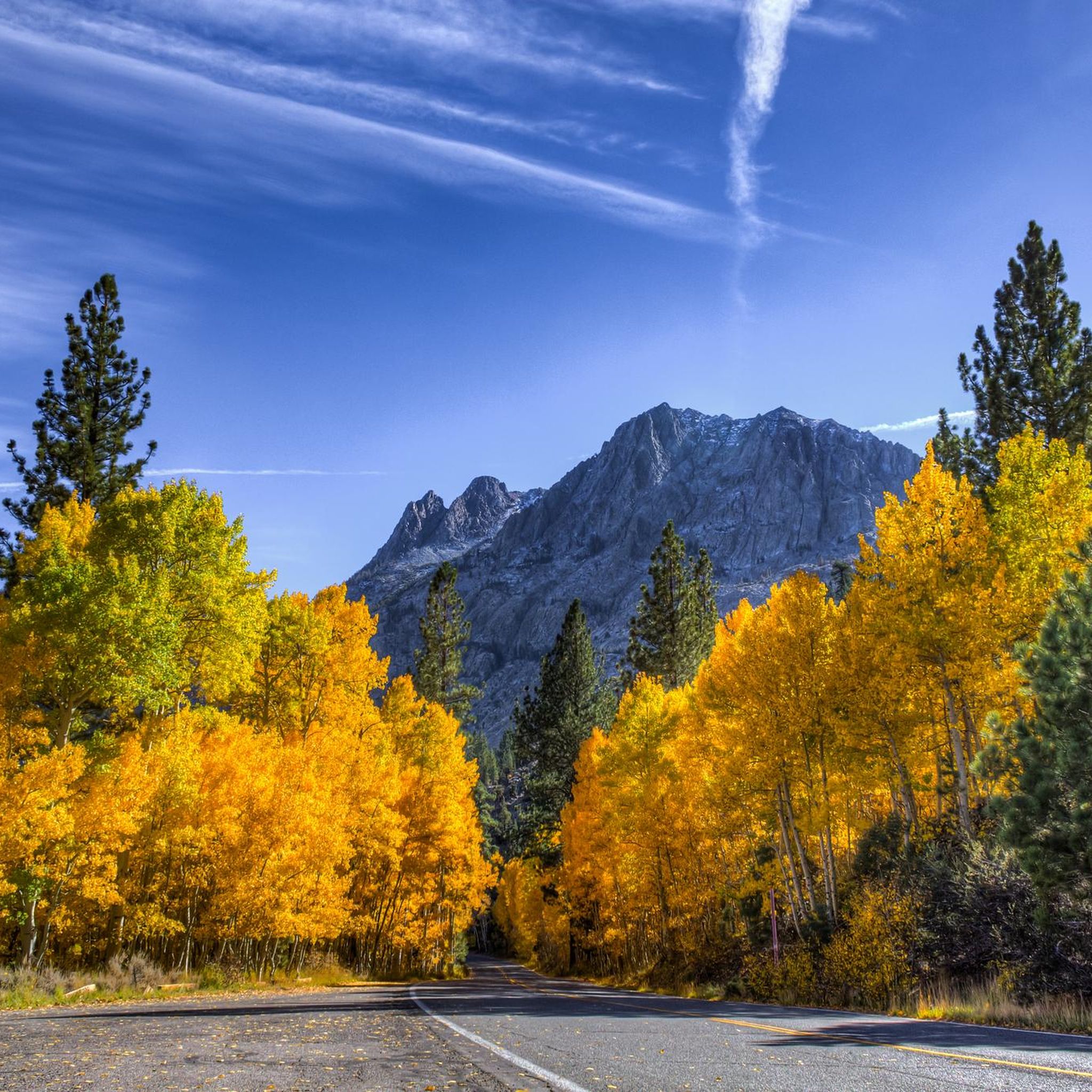
Cycling in Inyo National Forest
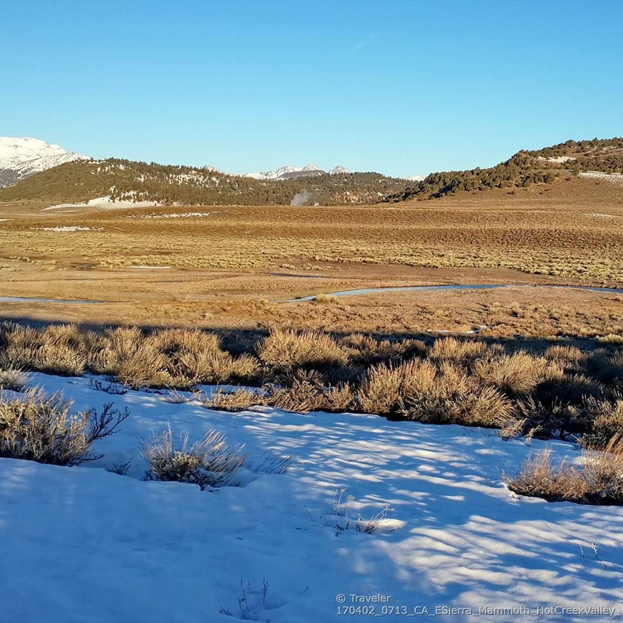
MTB Trails in Inyo National Forest
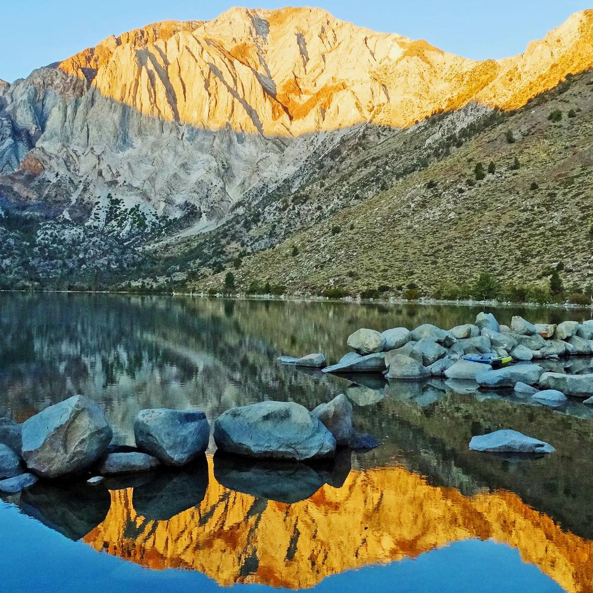
Running Trails in Inyo National Forest
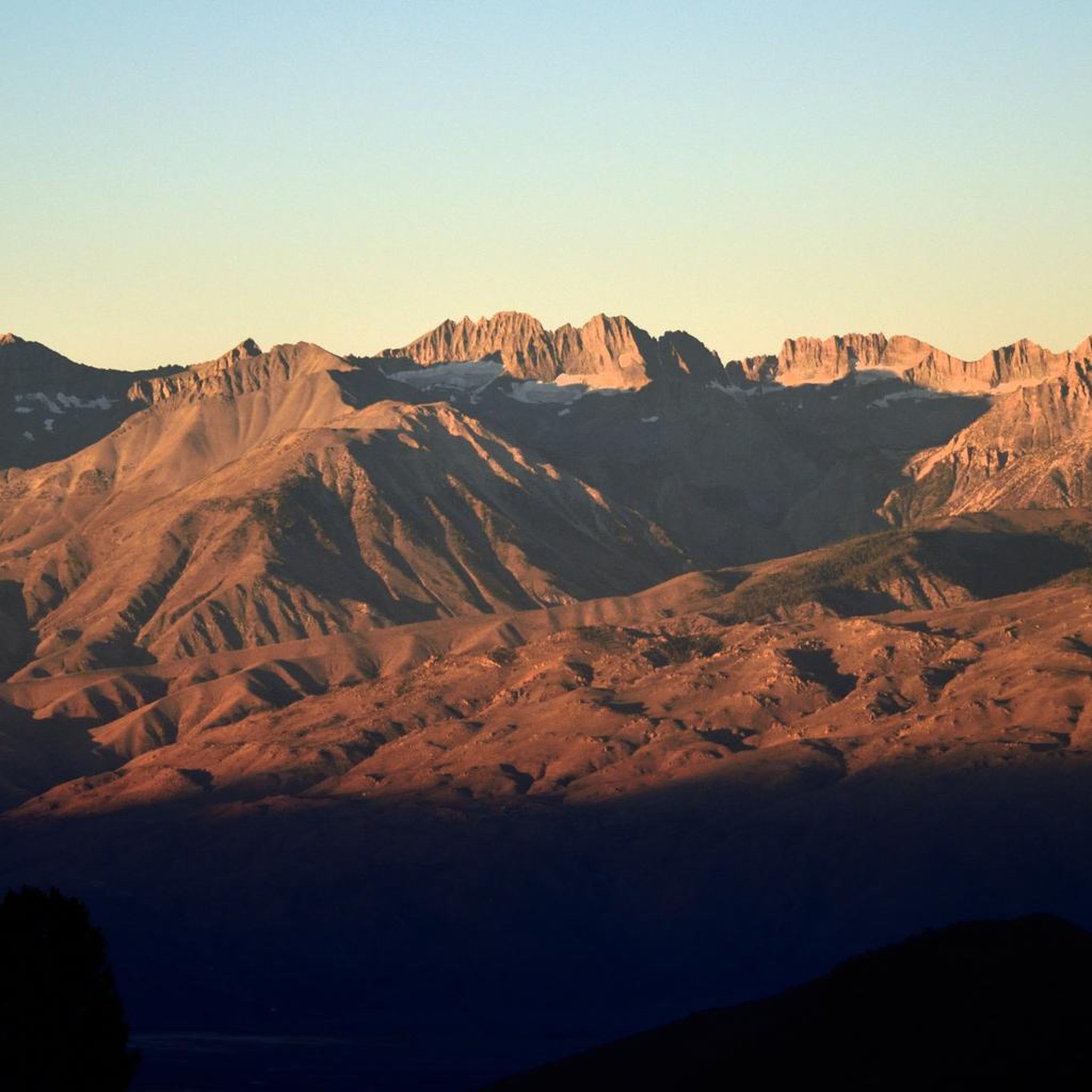
Gravel biking in Inyo National Forest
Other adventures in Inyo National Forest


Tips from the Community

Olmsted Point is a famous viewpoint of the north side of Half Dome, Tenaya Canyon, and Tenaya Lake to the east from Tioga Pass off State Highway 120 in Mariposa County. Olmsted Point is a must-see on the way over Tioga Pass. We admire the "erratic" boulders staggered around the granite slopes. These huge boulders were left behind when the last glacier broke through. Olmsted Point is named after landscape architects Frederick Law Olmsted and Frederick Law Olmsted, Jr. Olmsted was instrumental in protecting Yosemite National Park in the 1860s when he worked with Senator John Conness of California to declare Yosemite Valley and the Mariposa Big Tree Grove as public land under state protection. This was the first land set aside by Congress for public use and laid the foundation for what would become the National Parks.
4
0

Twin Falls connects Twin Lakes and Mamie Lake. This small stretch of river cascades down the rocks, flowing through a small patch of forest. It can be viewed from the trail or the road, and if you venture a little further up, you’ll also get a view of Twin Lakes.
0
0
Lake Mary is nestled in front of a red basalt cliff and surrounded by forest, creating a scenic setting. In the winter, the area is blanketed in snow, making it ideal for cross-country skiing.
1
0


Great mountain lake that invites you to swim and is ideal for a short walk.
0
0
Frequently Asked Questions
How many road cycling routes are available in Inyo National Forest?
Inyo National Forest offers over 30 road cycling routes, catering to various skill levels. You'll find a mix of easy, moderate, and challenging rides across its diverse landscapes.
What are some well-regarded routes for road cycling in Inyo National Forest?
Many cyclists enjoy the Lakes Basin Path, a moderate 14.7-mile route with scenic alpine lake views. Another popular choice is the June Lake Loop, a moderate 22.1-mile ride featuring four alpine lakes and stunning mountain vistas. For a different experience, the Mammoth Scenic Loop offers a 15.8-mile journey through diverse forest landscapes.
Are there challenging road cycling routes for experienced riders?
Yes, Inyo National Forest provides several challenging routes. For instance, the Lee Vining to Olmstead Point via Tioga Pass Road is a difficult 59.4-mile route with significant elevation gain, taking you through Yosemite's high country. Overall, there are 9 difficult routes available for those seeking a strenuous ride.
What kind of terrain and elevation can I expect on road cycling routes?
Road cycling in Inyo National Forest features diverse terrain, from the Owens Valley at 4,000 feet to towering peaks reaching nearly 14,500 feet. You can expect significant elevation changes, with routes traversing scenic canyons, alpine lakes, and volcanic formations. The region offers everything from relatively flat sections to demanding climbs.
What natural features and landmarks can I see while cycling in the area?
The region is rich in natural wonders. You can encounter unique geological formations like the Earthquake Fault, or visit the surreal tufa towers of Mono Lake (South Tufa Area). The area is also home to Mount Whitney, the tallest peak in the contiguous U.S., and the Ancient Bristlecone Pine Forest, which protects some of the world's oldest living trees. Many routes offer stunning mountain vistas and views of pristine alpine lakes like Thousand Island Lake.
What is the best time of year for road cycling in Inyo National Forest?
The best time for road cycling generally depends on the elevation of the route. Lower elevation areas and main highways like U.S. Highway 395 are often accessible for much of the year. However, higher mountain passes, such as Tioga Pass, are typically closed due to snow during winter and early spring, usually opening in late spring or early summer. Summer and early fall offer the most reliable conditions for accessing all routes, though some areas can be very warm in mid-summer.
Are there family-friendly road cycling options in Inyo National Forest?
Yes, there are several routes suitable for families. Many of the moderate loops around lakes, such as the Lakes Basin Path or sections of the June Lake Loop, offer less strenuous rides with beautiful scenery, making them enjoyable for various fitness levels, including families.
What do other road cyclists enjoy most about road cycling in Inyo National Forest?
The area is highly rated by the komoot community, with an average score of 4.8 stars. Reviewers often praise the breathtaking mountain scenery, the variety of routes for all abilities, and the pristine alpine lakes. Many appreciate the challenging climbs and the sense of accomplishment after conquering the significant elevation gains.
Where can I find amenities like cafes or accommodation near the cycling routes?
You'll find amenities in nearby towns such as Mammoth Lakes, June Lake, and Bishop. These communities offer various options for cafes, restaurants, and accommodation, providing convenient bases for exploring the road cycling routes in Inyo National Forest.
Are there any specific permits required for road cycling in Inyo National Forest?
Generally, no specific permits are required for road cycling on paved public roads within Inyo National Forest. However, if your route takes you into designated wilderness areas or requires specific access, it's always advisable to check with the local Forest Service office for any current regulations or permit requirements that might apply to those specific sections.
What is the difficulty distribution of road cycling routes in the forest?
The routes are well-distributed across difficulty levels. You'll find 6 easy routes, 16 moderate routes, and 9 difficult routes, ensuring there's something for every road cyclist, from beginners to seasoned riders.
Can I combine road cycling with other outdoor activities in Inyo National Forest?
Absolutely. Inyo National Forest is a haven for outdoor enthusiasts. Beyond road cycling, you can enjoy hiking, climbing, fishing, horse riding, and water activities on the numerous alpine lakes. The forest also features scenic drives and extensive wilderness areas for backpacking, making it easy to combine cycling with other adventures.
Most popular routes in Inyo National Forest
Most popular attractions in Inyo National Forest

Get inspired with the komoot mobile app


Explore more
Browse the best Road cycling routes in other regions.
