The best running trails in Helena-Lewis And Clark National Forest
3.0
(1)
63
runners
19
runs
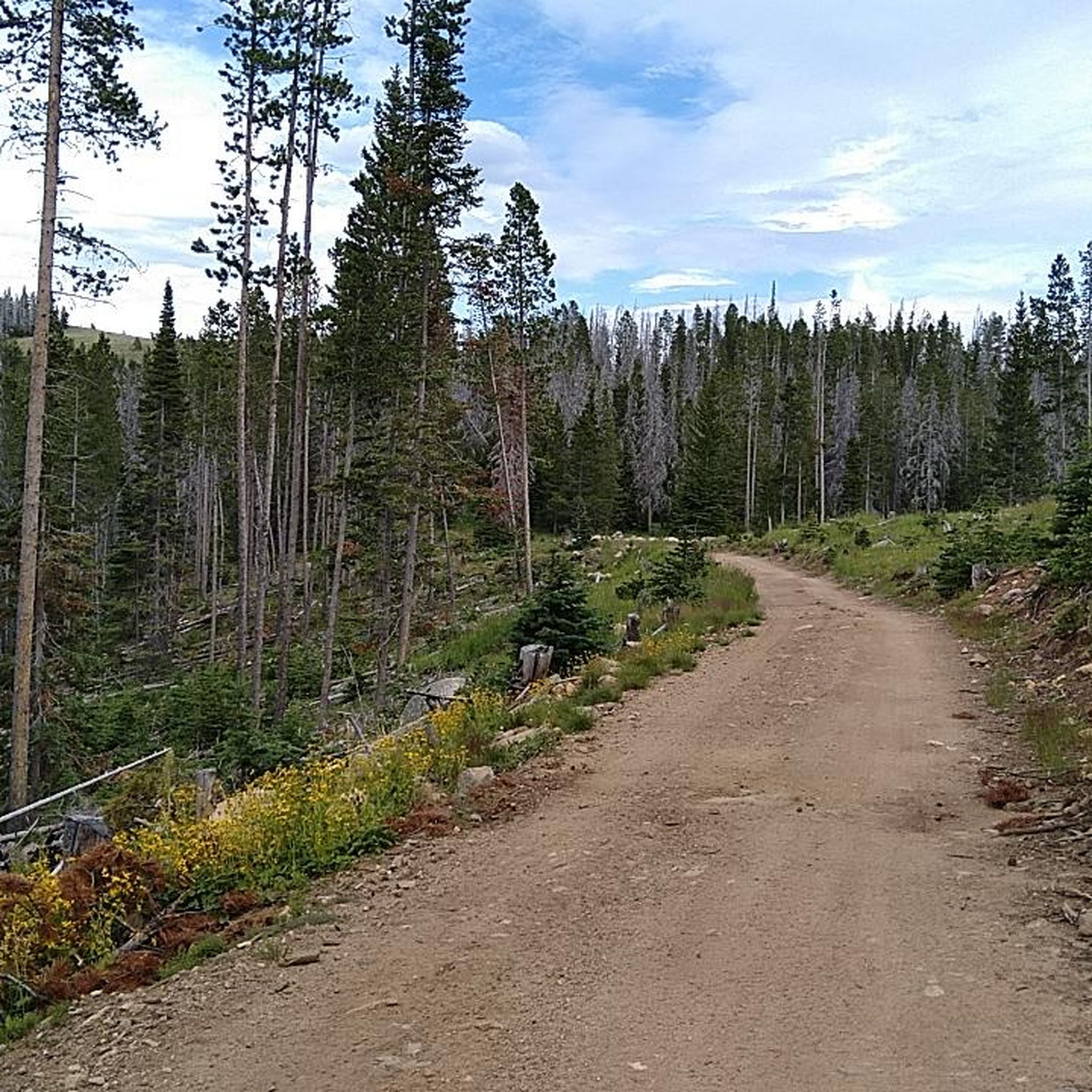
Jogging routes in Helena-Lewis And Clark National Forest traverse a diverse landscape spanning nearly 2.9 million acres. The region features "island mountain ranges," segments of the Continental Divide, and river valleys, offering varied terrain for running. Elevations range from 4,500 feet to over 9,000 feet, supporting a mix of grass and shrublands, as well as dense coniferous forests. This environment provides a range of physical features for outdoor exercise.
Best jogging routes in Helena-Lewis And Clark National Forest
- The most…
Last updated: August 18, 2026
3.0
(1)
8
runners
12.3km
01:34
350m
360m
Hard run. Very good fitness required. Mostly accessible paths. Some sure footedness required.
7
runners
13.3km
01:36
360m
360m
Hard run. Very good fitness required. Mostly paved surfaces. Suitable for all skill levels.

Sign up for free
5
runners
10.4km
01:22
400m
400m
Hard run. Very good fitness required. Mostly accessible paths. Some sure footedness required.
4
runners
6.31km
00:46
160m
160m
Moderate run. Good fitness required. Mostly paved surfaces. Suitable for all skill levels.
4
runners
8.28km
01:13
350m
350m
Hard run. Very good fitness required. Mostly accessible paths. Some sure footedness required.
Get access to more routes and recommendations from other explorers.
Sign up for free
Already have an account?
Our route recommendations are based on thousands of hikes, rides, and runs completed by other people on komoot.
Start today with a free account
Your next adventure awaits.
Login or Signup
Popular around Helena-Lewis And Clark National Forest

Tips from the Community

This is the entrance to a small cave called Devil's Kitchen. It is often used as a landmark to identify nearby rock climbing routes.
0
1

Standing 5,468 feet (1,667 m) feet tall, Mount Helena offers great views over the city of the same name. It's essentially the epicenter of a set of trail loops, with no fewer than four ways of hiking to the summit.
1
0

Downtown Helena, famously known as the most historic mile in Montana, is nestled along Last Chance Gulch, right at the foot of the stunning Mt. Helena. Here, you'll find a diverse array of shops offering unique art, clothing, sports gear, and plenty of dining options, including microbreweries and entertainment.
2
0

From the North side of Mount Helena you have excellent views over the Capital City. However, once you make the turn and get behind the mountain the views open up to the spectacular surroundings and invite you to explore some more.
0
0
Lots of choices from here. Prospect Shafts, 1906 (uphill only), & Prairie trails are just a few of the options.
0
0
Frequently Asked Questions
What kind of terrain can I expect on running routes in Helena-Lewis And Clark National Forest?
The Helena-Lewis And Clark National Forest offers a diverse range of terrain for runners. You'll find everything from "island mountain ranges" and alpine peaks to segments of the Continental Divide and river valleys. Elevations vary significantly, from 4,500 feet to over 9,000 feet, supporting a mix of grass and shrublands, as well as dense coniferous forests. This means you can choose between relatively flat river paths and more challenging mountain ascents.
Are there any easy or family-friendly running trails in the forest?
Yes, the forest offers a variety of trails suitable for all skill levels, including easy and family-friendly options. Portions of the River's Edge Trail in Giant Springs State Park, for example, are wide and paved, providing a generally easy and scenic jogging route along the Missouri River. While specific easy routes from the guide are limited, the overall trail system includes 73 easy options, ensuring accessible paths for a leisurely run.
Where can I find challenging running routes in Helena-Lewis And Clark National Forest?
For those seeking a challenge, the Helena-Lewis And Clark National Forest has plenty to offer. Routes like Mount Ascension loop from Helena and Mount Helena loop from Helena are rated as difficult, featuring significant elevation gains and mountain views. The forest's extensive network includes 109 difficult options, providing strenuous workouts amidst stunning mountainous terrain.
Are there any circular running routes available?
Yes, many of the running routes in Helena-Lewis And Clark National Forest are designed as loops, offering a convenient way to start and finish in the same location. Examples include the popular Mount Ascension loop from Helena, the Mount Helena loop from Helena, and the Running loop from Helena, all providing varied landscapes and mountain scenery.
What kind of scenic views or landmarks can I expect to see while running?
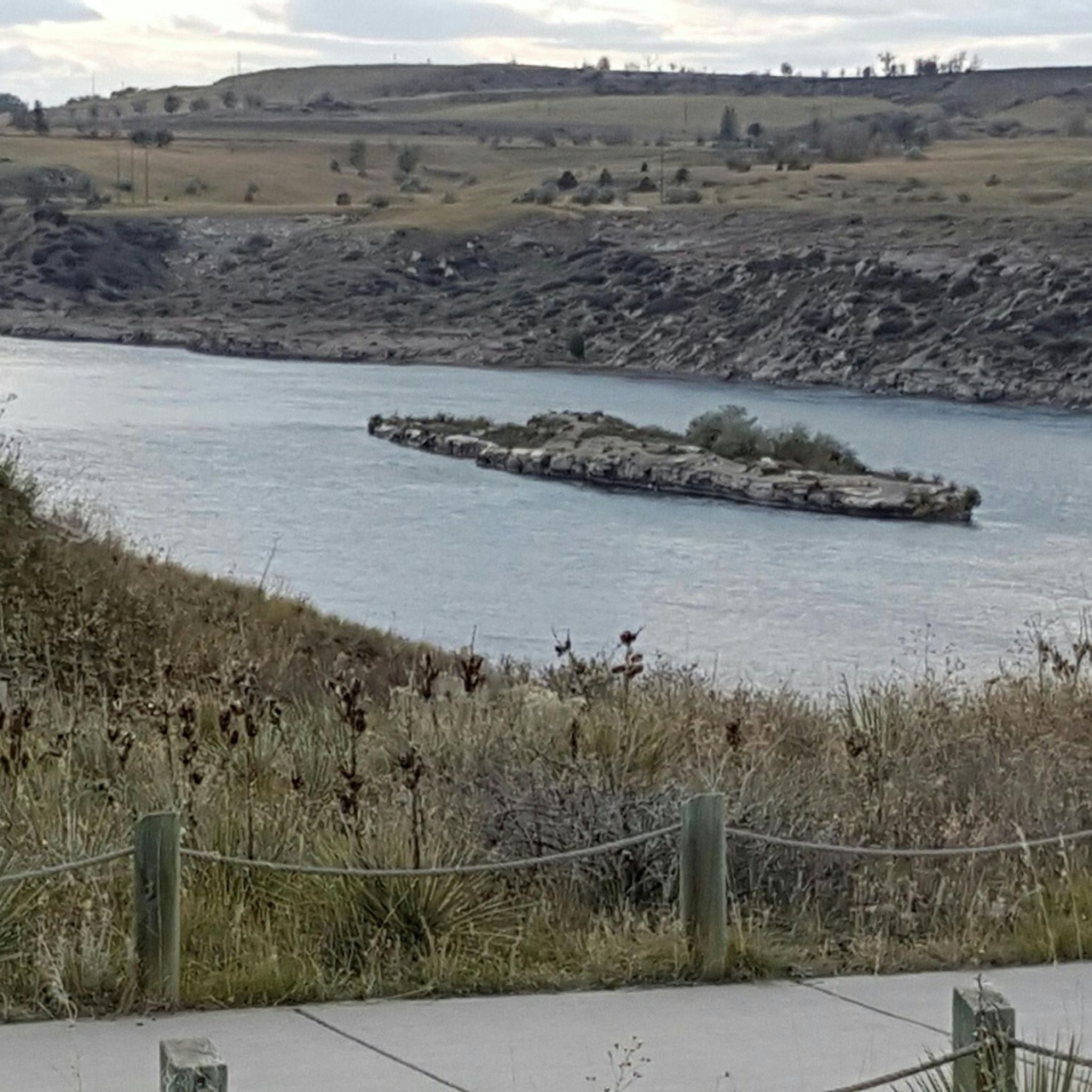
The forest is rich in scenic beauty and notable landmarks. You can enjoy Missouri River Views from trails like the River's Edge Trail, including the Steamboat Island Overlook. Other areas feature dramatic rock formations and canyons, such as those found in Trout Creek Canyon and along the Dearborn River Trail leading to Devil's Glen. For those interested in historical sites, the area preserves segments of the Lewis and Clark Expedition routes. Additionally, you might encounter highlights like the Marias Pass Memorial Square: Roosevelt Obelisk, Stevens or the vast Bob Marshall Wilderness.
Are there any trails with waterfalls?
Yes, the Helena-Lewis And Clark National Forest features trails where you can enjoy waterfalls. The Our Lake Trail is known for having waterfalls along its path, and the Crow Creek Falls Trail offers spectacular viewing opportunities through a limestone canyon, adding a refreshing element to your run.
Can I spot wildlife while running in the forest?
Absolutely. The Helena-Lewis And Clark National Forest is home to a rich variety of wildlife. Runners often have the opportunity to spot animals such as elk, deer, and various bird species, enhancing the natural experience of your run.
What is the best time of year for running in Helena-Lewis And Clark National Forest?
The best time for running generally depends on the specific trail and your preference. While the forest offers diverse ecosystems, spring, summer, and fall typically provide the most favorable conditions with pleasant temperatures and accessible trails. Some higher elevation trails may be snow-covered in winter, but lower elevation paths might still be runnable. Always check local conditions before heading out.
Are dogs allowed on the running trails?
Many trails within the Helena-Lewis And Clark National Forest are dog-friendly, making it a great place to run with your canine companion. However, it's always recommended to check specific trail regulations and ensure your dog is on a leash, especially in areas with wildlife or other trail users, to ensure a safe and enjoyable experience for everyone.
What do other runners enjoy most about jogging in Helena-Lewis And Clark National Forest?
The running routes in Helena-Lewis And Clark National Forest are highly rated by the komoot community, with an average score of 4.0 stars from over 2 reviews. Runners often praise the diverse landscapes, from challenging mountain ascents to scenic river views, and the extensive trail network that caters to various fitness levels. The natural beauty and varied terrain are frequently highlighted as key attractions.
How many running routes are available in the Helena-Lewis And Clark National Forest?
The Helena-Lewis And Clark National Forest boasts an extensive trail system. Our guide features 15 running routes, but the forest itself offers approximately 1,181 miles (1,900 kilometers) of trails in total, including 73 easy, 136 intermediate, and 109 difficult options, ensuring a vast selection for all runners.
Are there any facilities like cafes or accommodation near the trailheads?
While the forest itself is a wilderness area, the nearby city of Helena, Montana, serves as a gateway and offers various amenities. You can find cafes, pubs, and accommodation options in Helena, which are conveniently located near many of the forest's trailheads, allowing you to refuel and relax after your run.
Most popular routes in Helena-Lewis And Clark National Forest
Most popular attractions in Helena-Lewis And Clark National Forest

Get inspired with the komoot mobile app


Explore more
Browse the best Running Trails & Routes in other regions.
