The best MTB trails in Custer Gallatin National Forest
109
riders
20
rides
Mountain biking in Custer Gallatin National Forest offers extensive trail systems across approximately 3 million acres of diverse landscapes. The region features majestic mountain peaks, dense forests, and rolling prairies, providing varied terrain for mountain bikers. Riders can explore trails that traverse high-alpine environments, river systems, and areas with significant elevation changes. This vast forest, part of the Greater Yellowstone Ecosystem, provides a wide range of natural features suitable for mountain biking.
Best mountain bike trails in Custer Gallatin National…
Last updated: September 27, 2026
41
riders
49.8km
04:54
1,270m
1,280m
The Bangtail Divide Trail offers a challenging mountain biking experience, covering 30.9 miles (49.8 km) with a significant 4165 feet (1269 metres) of elevation gain. This difficult route typically takes…
6
riders
18.7km
02:20
770m
770m
The Sheep Lake Trail offers a challenging mountain biking experience through the rugged Lionhead area near West Yellowstone, Montana. You'll navigate a very technical singletrack with tough climbs over large…

2
riders
18.1km
02:11
680m
670m
The Garnet Mountain Loop offers a demanding yet incredibly scenic mountain biking experience near Bozeman. You'll navigate a mix of forest service roads, ATV trails, and technical singletrack, with varied…
2
riders
32.5km
03:37
1,000m
1,000m
Embark on the Targhee Creek and Continental Divide Trail Loop, a difficult mountain biking adventure spanning 20.2 miles (32.5 km). You'll tackle diverse and demanding terrain, from dirt roads to…
17.8km
02:38
1,070m
1,070m
Embark on the Blackmore Trail, a difficult mountain biking route that challenges you with its substantial 3497 feet (1066 metres) of elevation gain over 11.1 miles (17.8 km). As you…
Get access to more routes and recommendations from other explorers.
Already have an account?
Our route recommendations are based on thousands of hikes, rides, and runs completed by other people on komoot.
Start today with a free account
Your next adventure awaits.
Popular around Custer Gallatin National Forest

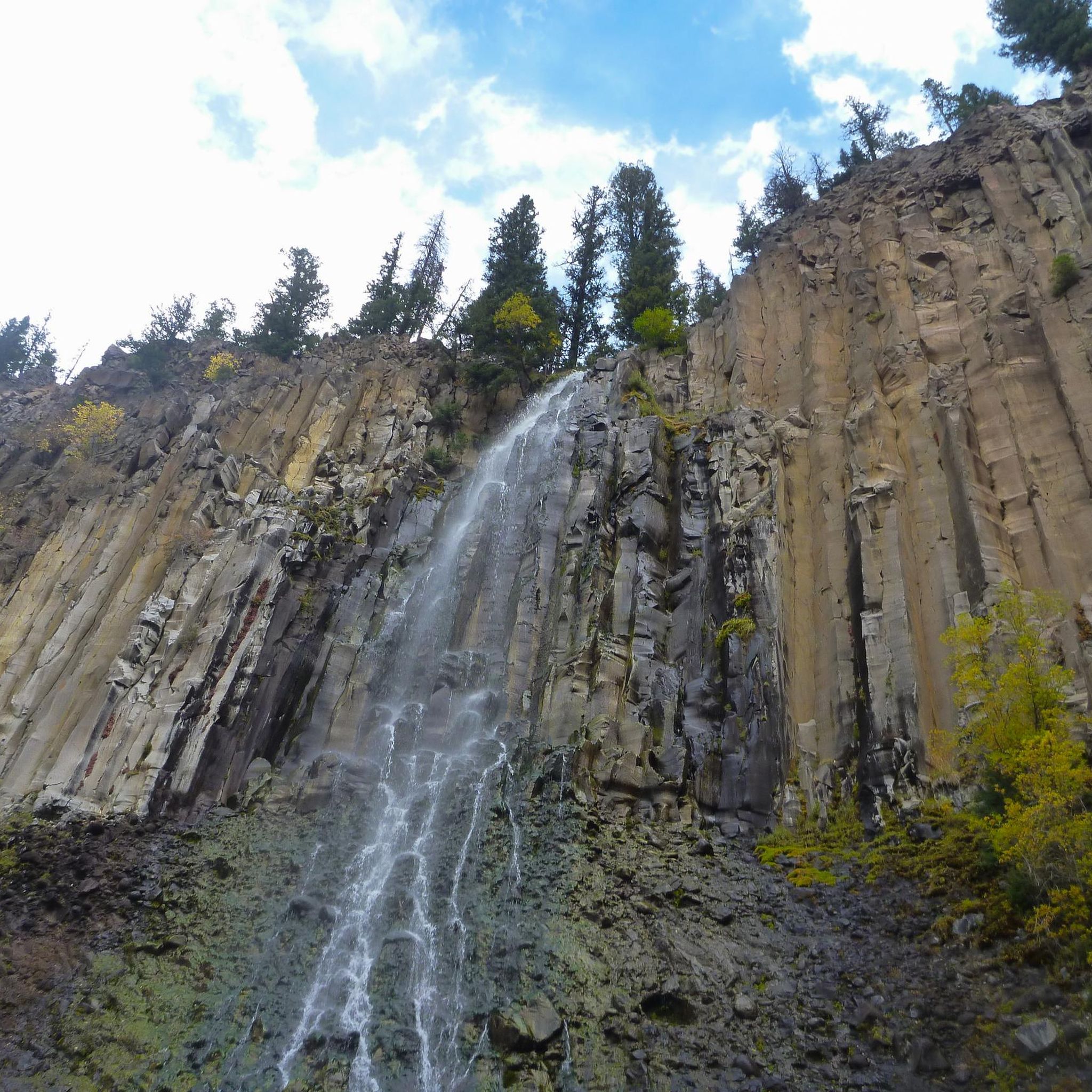
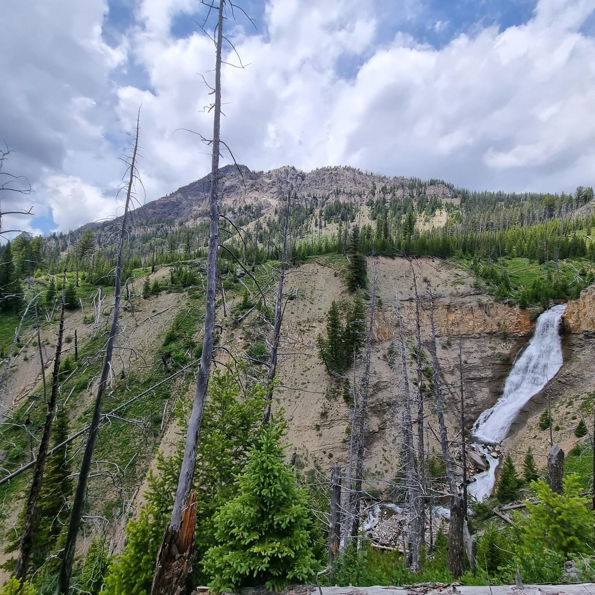
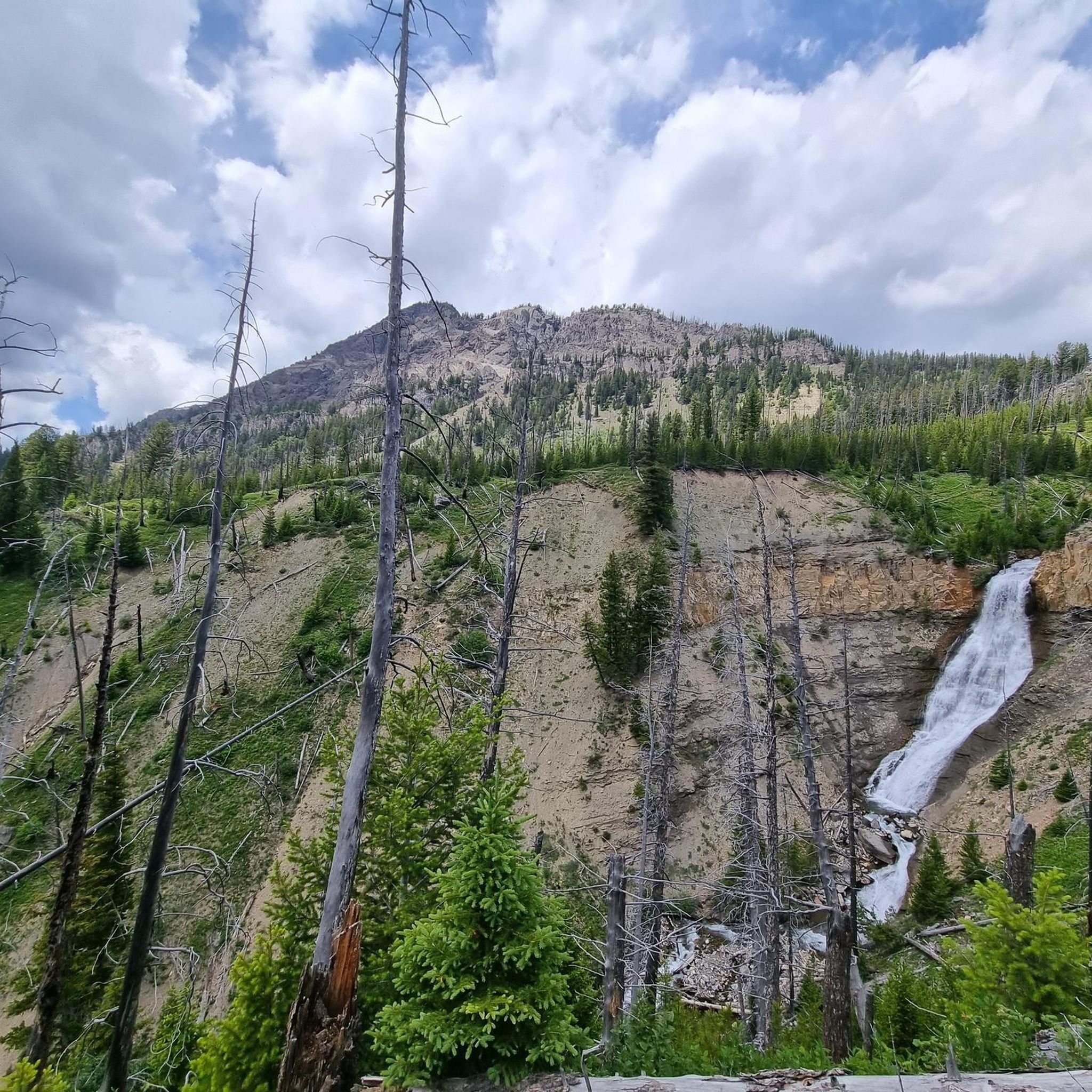
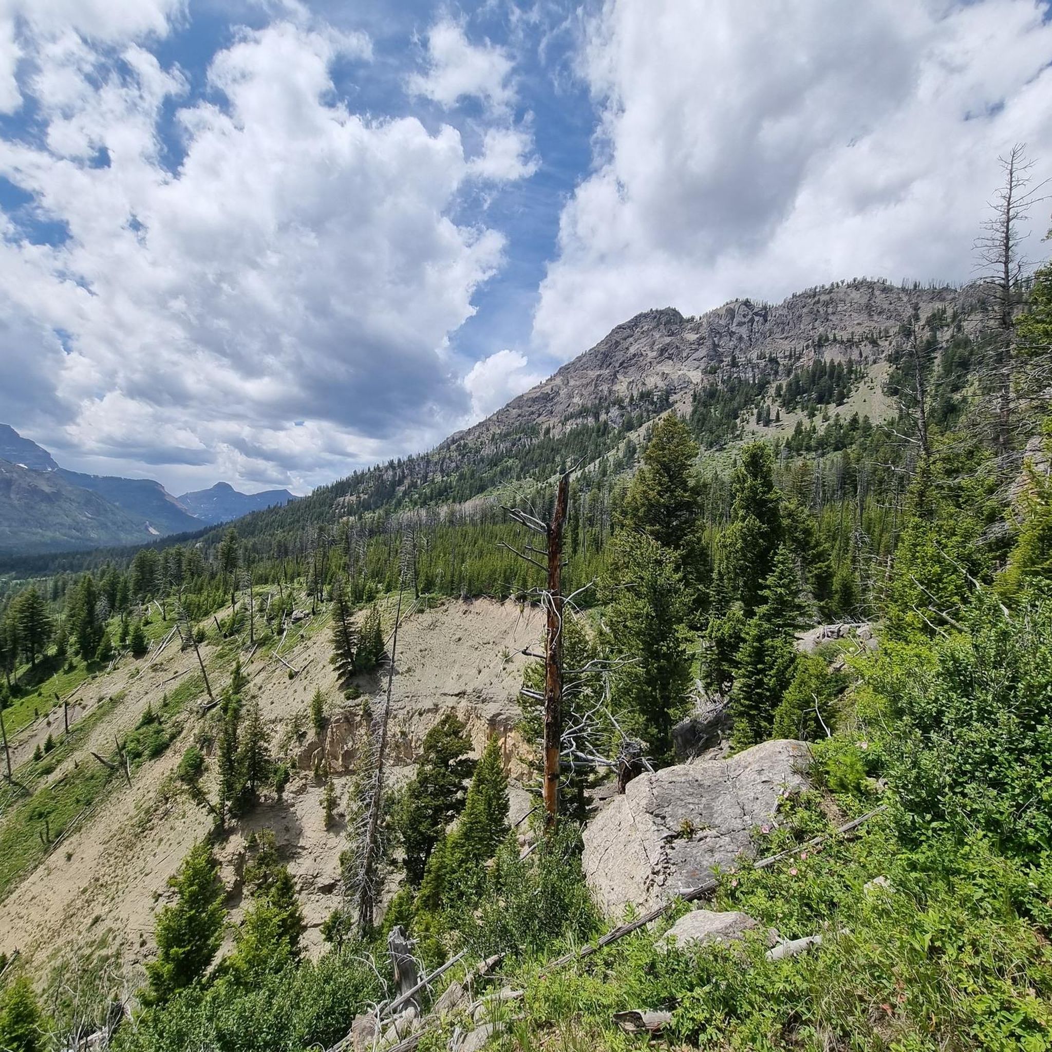

Other adventures in Custer Gallatin National Forest

Tips from the Community

Great nontechnical hike to the summit of one of Bozeman's iconic southern peaks. A few stream crossings for filtration if you want to go light. Some steeper grades just up from the lake, but mostly very manageable grades, gorgeous views! Mountain goats were seen as well. Highly recommended.
1
0

Lionhead is a 2,904-metre (9,528 ft) summit on the Continental Divide Trail. The trail that leads up and down from it is popular with mountain bikers so respect all users when hiking. It can be accessed from the Targhee Pass Highway. The peak is named because, from certain angles, it looks like the head of a lion.
0
0

Rat Lake sits at just over 6,500 feet and can be linked with several hiking, running, or mtb routes in this area. Be sure to check on local fishing regulations if you're interested in angling in this popular spot.
0
0
The spur that leads to the summit of Mt. Blackmore will steal your breath in more than one way. Be ready to earn the summit that stands at just over 10,000 feet. As always, stay aware of changes in weather when climbing exposed peaks, but also keep an eye out for a stunning range of wildflowers while you climb.
0
0
Hyalite Reservoir is a large artificial lake that affords opportunities for day-use hiking, easy strolls, or the perfect launching point for more aggressive, big-mountain singletrack riding. Even if a bit busy, plenty of parking is available.
0
0
Yet another stunning, high-alpine lake in this region that will reward your efforts on the climb and provide an ideal break and snack spot for either the climb or the descent.
0
0

Sheep Lake is a deep body of clear water about 20 acres in size. It sits in a glacial cirque at over 9000 ft elevation and boosts great fishing. Be aware grizzly bears are active in the area.
0
0
Storm Castle Creek gets its name from the large rock "castle" atop an adjacent peak.
0
0
Frequently Asked Questions
What kind of terrain can I expect when mountain biking in Custer Gallatin National Forest?
Custer Gallatin National Forest offers a diverse range of terrain, from majestic mountain peaks and dense forests to rolling prairies. You'll find trails traversing high-alpine environments, river systems, and areas with significant elevation changes, providing varied challenges and scenic beauty.
What is the best time of year to go mountain biking in Custer Gallatin National Forest?
The prime season for mountain biking in Custer Gallatin National Forest is generally between June and October, when trails are most accessible and weather conditions are favorable. Always check local conditions before heading out.
Are there mountain bike trails suitable for beginners or families in Custer Gallatin National Forest?
Yes, Custer Gallatin National Forest has options for various skill levels. Out of 23 mountain bike tours, 3 are considered easy, making them suitable for beginners or families looking for a less strenuous ride. While specific easy routes aren't listed here, you can find them on komoot.
What are some challenging mountain bike trails in the Custer Gallatin National Forest?
For experienced riders seeking a challenge, trails like the Bangtail Divide Trail offer a difficult 30.9-mile route with over 4,100 feet of elevation gain. Other demanding options include the Targhee Creek and Continental Divide Trail Loop and Blackmore Trail, both featuring significant climbs and technical sections.
Are there any notable natural features or landmarks to see along the mountain bike trails?
Absolutely. The forest is rich in natural beauty. You might encounter glacial cirques, majestic mountain peaks like Mount Blackmore, or stunning lakes such as Fairy Lake and Beehive Basin Lake. The trails also offer views of the Gallatin and Madison Mountain Ranges.
Can I bring my dog on the mountain bike trails in Custer Gallatin National Forest?
While many trails in national forests are dog-friendly, it's crucial to check specific regulations for Custer Gallatin National Forest and individual trails before you go. Always keep your dog on a leash and practice Leave No Trace principles.
Are there any waterfalls accessible near the mountain biking routes?
Yes, there are several beautiful waterfalls in the region. You can visit Ousel Falls, Passage Creek Falls, or Upper Big Timber Falls. Some of these are accessible via hiking trails that may be near mountain biking areas.
What do other mountain bikers enjoy most about Custer Gallatin National Forest?
The Custer Gallatin National Forest routes are highly rated by the komoot community, with an average score of 4.5 stars. Riders often praise the expansive mountain views, the diverse landscapes, and the challenging yet rewarding climbs that lead to epic vistas.
Are there any loop trails for mountain biking in the forest?
Yes, loop trails are available for mountain biking. An example is the Garnet Mountain Loop, an 11.2-mile difficult route that allows you to start and end at the same point, offering a comprehensive experience of the area.
What are the rules regarding e-bikes in Custer Gallatin National Forest?
In Custer Gallatin National Forest, e-bikes are generally considered motorized vehicles. This means they are only permitted on designated motorized routes. Always verify the specific trail regulations before riding your e-bike.
Where can I find parking for mountain bike trails in Custer Gallatin National Forest?
Many trailheads throughout the Custer Gallatin National Forest offer designated parking areas. For specific routes, it's best to check the individual tour details on komoot or consult local forest service maps for trailhead parking information.
Are there any seasonal restrictions or closures I should be aware of?
Yes, Custer Gallatin National Forest implements seasonal restrictions and closures, particularly outside the main riding season (June to October), due to snow, wildlife protection, or trail maintenance. Always check the current status of trails with the Custer Gallatin National Forest service before planning your ride.
Most popular routes in Custer Gallatin National Forest
Most popular attractions in Custer Gallatin National Forest

Get inspired with the komoot mobile app


Explore more
Browse the best MTB trails in other regions.
