The best road cycling routes in Flathead National Forest
4.3
(22)
302
riders
25
rides
Road cycling in Flathead National Forest offers routes through a landscape defined by dense coniferous forests, expansive valleys, and the foothills of the Rocky Mountains. The region features numerous rivers and lakes, providing varied terrain for road cyclists. Elevations range from valley floors to significant mountain passes, with routes often following scenic roadways. The area provides diverse road cycling experiences across its natural environment.
Best road cycling routes in Flathead National Forest
- The most popular road cycling route is Going-to-the-Sun…
Last updated: July 7, 2026
17
riders
162km
09:24
2,670m
2,670m
Hard road ride. Very good fitness required. Mostly well-paved surfaces and easy to ride.
4.5
(2)
63
riders
125km
06:51
1,650m
1,650m
Hard road ride. Very good fitness required. Mostly well-paved surfaces and easy to ride.

Sign up for free
10
riders
Moderate road ride. Good fitness required. Mostly well-paved surfaces and easy to ride.
9
riders
91.4km
04:17
620m
620m
Moderate road ride. Good fitness required. Mostly well-paved surfaces and easy to ride.
9
riders
109km
05:07
740m
740m
Hard road ride. Very good fitness required. Some segments of this route may be unpaved and difficult to ride.
Get access to more routes and recommendations from other explorers.
Sign up for free
Already have an account?
Our route recommendations are based on thousands of hikes, rides, and runs completed by other people on komoot.
Start today with a free account
Your next adventure awaits.
Login or Signup
Popular around Flathead National Forest

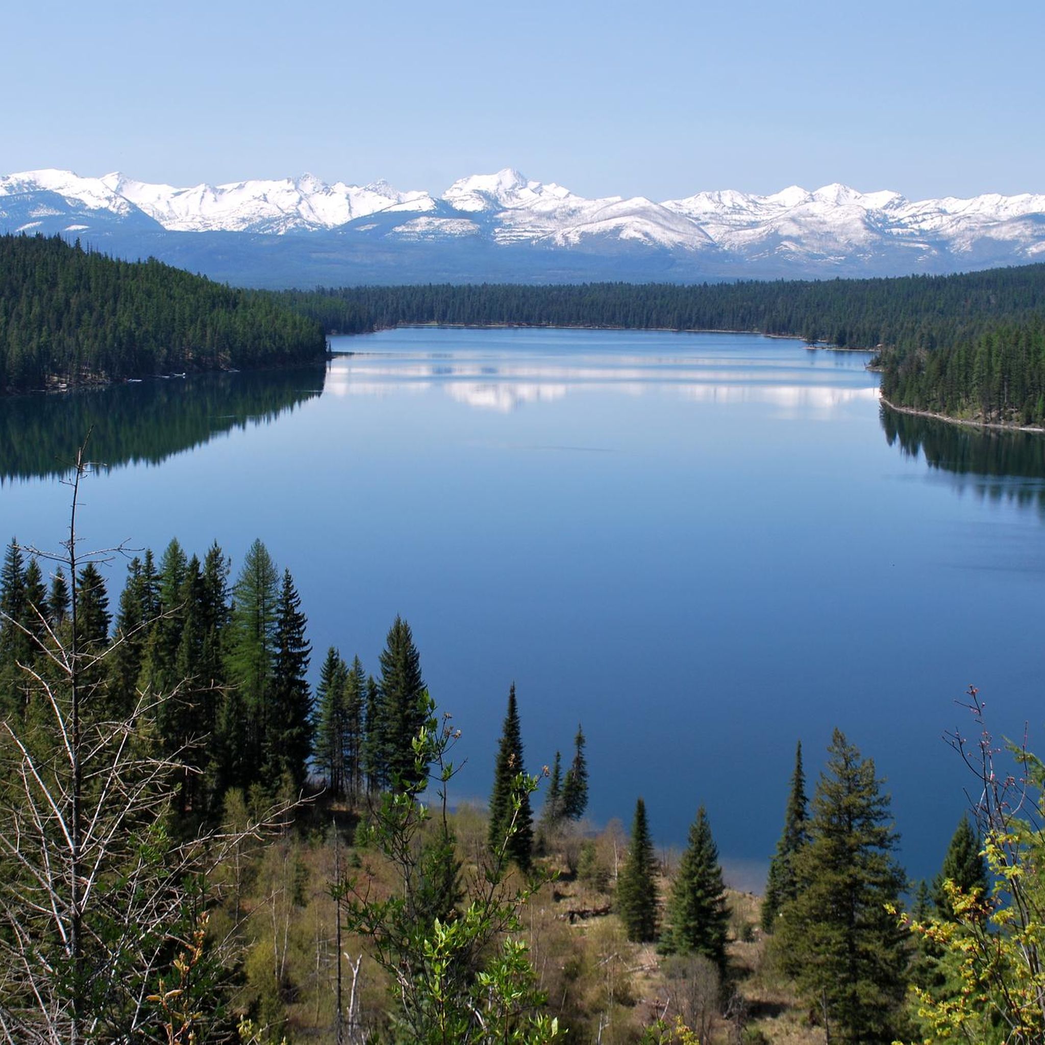
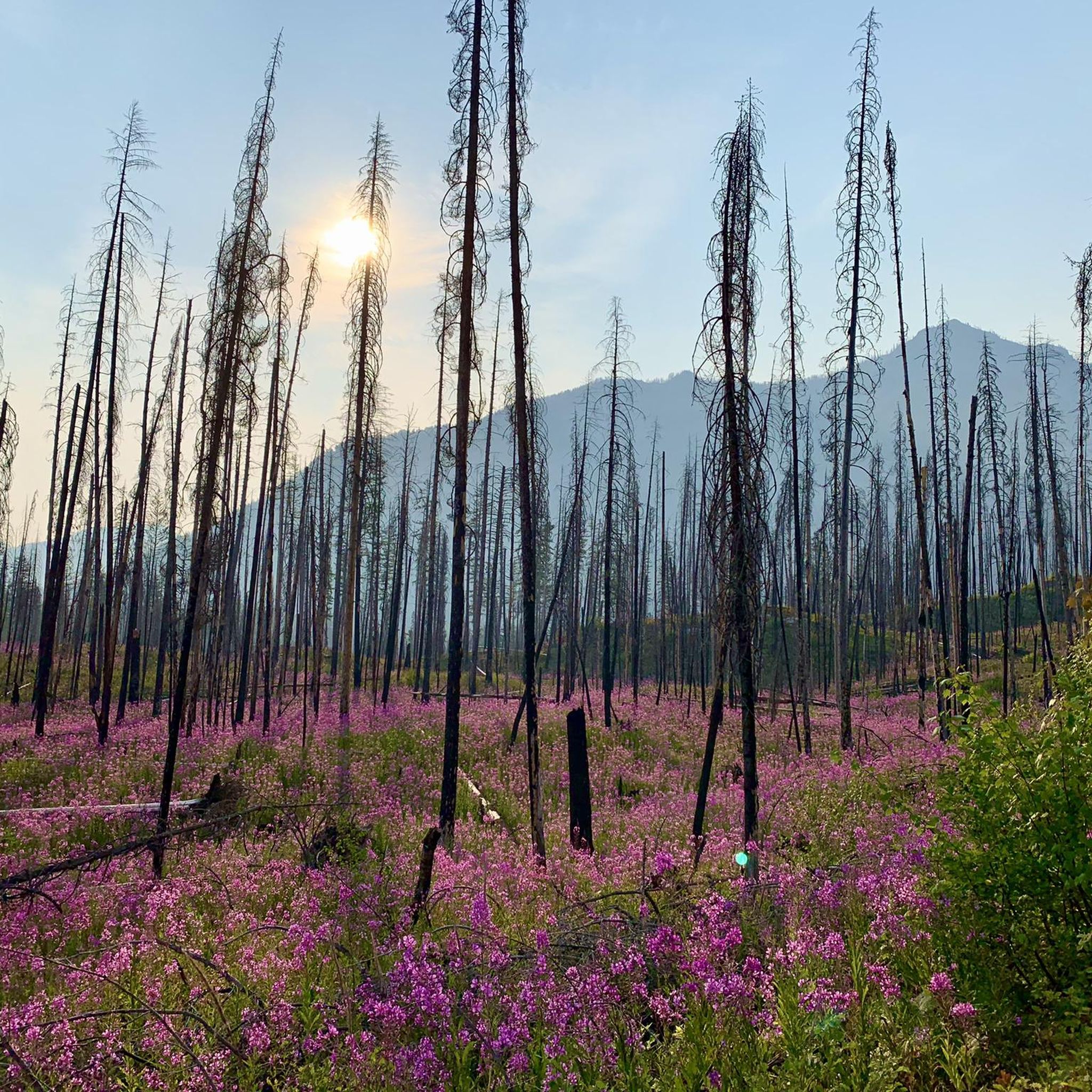
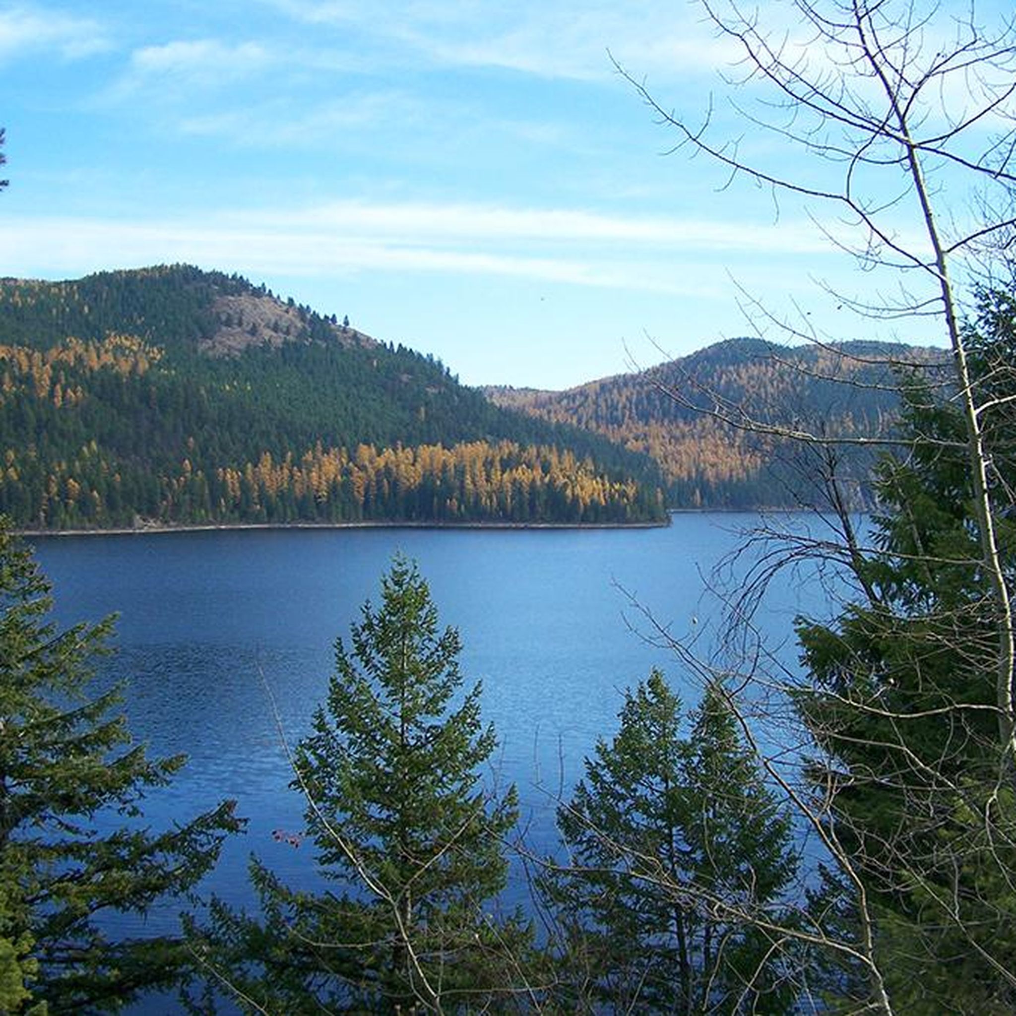
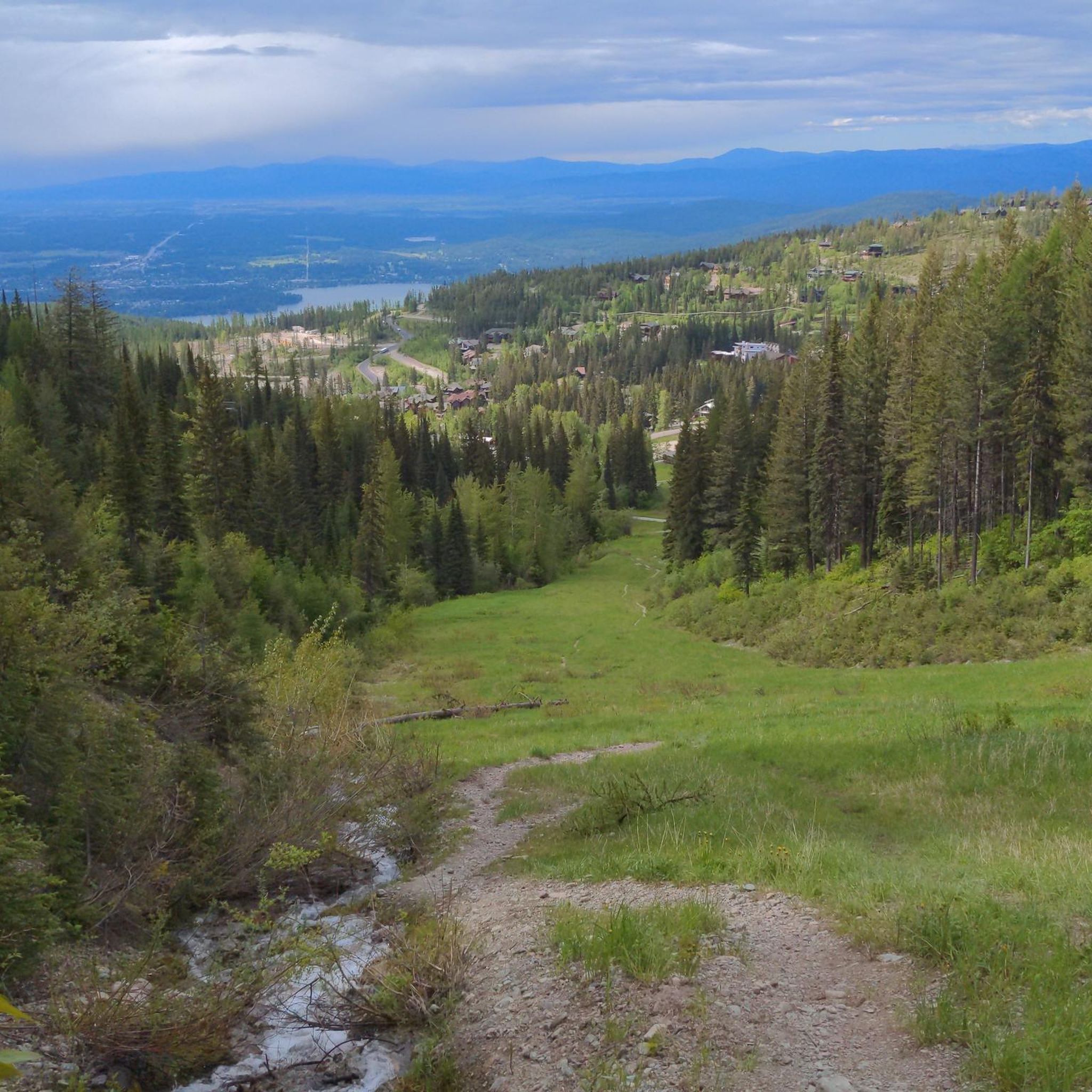

Other adventures in Flathead National Forest

Tips from the Community

At about 2100 m you have a wonderful view of both sides of the pass. It is often still snow-covered and you feel like you are in a ski lodge
2
0
Yes, also Cedars, and old ones at that, are in the park
2
0

This area is really so incredibly beautiful.
3
0

Large campground directly on the lake with good swimming, operating for over 100 years, with rustic RV and camp sites, and rustic log cabins built in the 1920s. Located just outside Glacier National Park on Lake Five, three miles west of West Glacier
0
0

Despite this lake's glacier-fed nature, the area gets warm enough for there to be a designated swimming area at this little sandy beach. There's also a shade area, gazebos, picnic tables and docks.
0
0
Just what the name suggests; moose love this sort of terrain, as they're built to navigate it. If you look on the opposite side of the road you'll catch a glimpse of the far prettier McDonald Creek.
0
0

Big Bend is one of the most iconic curves on Going-to-the-Sun Road, where the pavement sweeps in a dramatic arc beneath towering peaks and open sky. Located just west of Logan Pass, it offers a breathtaking vantage point of the upper Garden Wall and the valley far below. There’s a small pullout where you can pause to take in the view—or catch your breath if you're climbing by bike. In summer, wildflowers often blanket the slopes, and waterfalls thread down the cliffs in the distance. It’s a classic Glacier National Park scene, and one of the road’s most photographed spots.
1
0
Frequently Asked Questions
How many road cycling routes are available in Flathead National Forest?
There are over 20 road cycling routes documented in Flathead National Forest on komoot, catering to various skill levels. These include 8 easy, 10 moderate, and 3 difficult routes.
What is the general difficulty level of road cycling in Flathead National Forest?
Road cycling in Flathead National Forest offers a range of difficulties. You'll find easy routes, such as the Ashley Creek Park loop from Stillwater River, as well as moderate and challenging options like the demanding Going-to-the-Sun Road, which features significant elevation gain through mountain passes.
Are there any family-friendly road cycling routes in Flathead National Forest?
Yes, there are routes suitable for families. The Ashley Creek Park loop from Stillwater River is an easy 16.2-mile (26.0 km) route that takes about 1 hour 10 minutes to complete, offering a gentle ride through scenic areas.
What kind of views can I expect on road cycling routes in Flathead National Forest?
The routes in Flathead National Forest offer diverse scenery, including dense coniferous forests, expansive valleys, and views of the Rocky Mountains. Many routes follow scenic roadways alongside rivers and lakes, providing picturesque vistas. For example, the Upper McDonald Creek Overlook – Logan Pass loop from Coram offers expansive mountain views.
Are there any loop road bike trails in Flathead National Forest?
Yes, many road cycling routes in Flathead National Forest are designed as loops. Examples include the Apgar Bike Trail – Moose Country Pond loop from West Glacier, which is a moderate 28.6-mile (46.1 km) route, and the Ashley Creek Park loop from Stillwater River.
What is the best time of year for road biking in Flathead National Forest?
The best time for road biking in Flathead National Forest is typically from late spring through early fall (May to October), when roads are clear of snow and weather conditions are most favorable. Some higher elevation routes, like parts of Going-to-the-Sun Road, may only be fully accessible from late June or early July due to snowpack.
What are some interesting places to see along the road cycling routes?
Along your road cycling routes, you can explore various points of interest. Notable attractions include Ashley Lake Road and Holland Lake. For a unique stop, consider visiting the Polebridge Mercantile, a historic general store and bakery.
Are there any cafes or places to refuel near the road bike trails?
Yes, you can find places to refuel. The Polebridge Mercantile is a well-known spot that offers food and supplies. Depending on your route, other small towns and communities bordering the forest may also have cafes or restaurants.
What do other road cyclists enjoy most about road cycling in Flathead National Forest?
The area is highly rated by the komoot community, with an average score of 4.3 stars from over 20 reviews. Reviewers often praise the stunning natural beauty, the challenge of mountain passes, and the variety of routes available, from peaceful forest rides to epic climbs.
Are there any permits required for road biking in Flathead National Forest?
Generally, no specific permits are required for road biking on public roads within Flathead National Forest. However, if your route enters Glacier National Park (which borders the forest), entrance fees or passes may be required. Always check the official Glacier National Park website for current regulations and entry requirements, especially for popular roads like Going-to-the-Sun Road.
What is the longest road cycling route available?
The longest road cycling route featured is the Going-to-the-Sun Road, which spans 100.4 miles (161.5 km) and typically takes over 9 hours to complete due to its significant elevation gain.
Can I find moderate-difficulty routes for road cycling?
Absolutely. Flathead National Forest offers 10 moderate-difficulty road cycling routes. An example is the Good Medicine Lodge – Lake Five Resort campground loop from West Glacier, a 56.8-mile (91.3 km) route that takes about 4 hours 17 minutes.
Most popular routes in Flathead National Forest
Most popular attractions in Flathead National Forest

Get inspired with the komoot mobile app


Explore more
Browse the best Road cycling routes in other regions.
