The best road cycling routes in Cerro De La Estrella
4.8
(142)
2,143
riders
56
rides
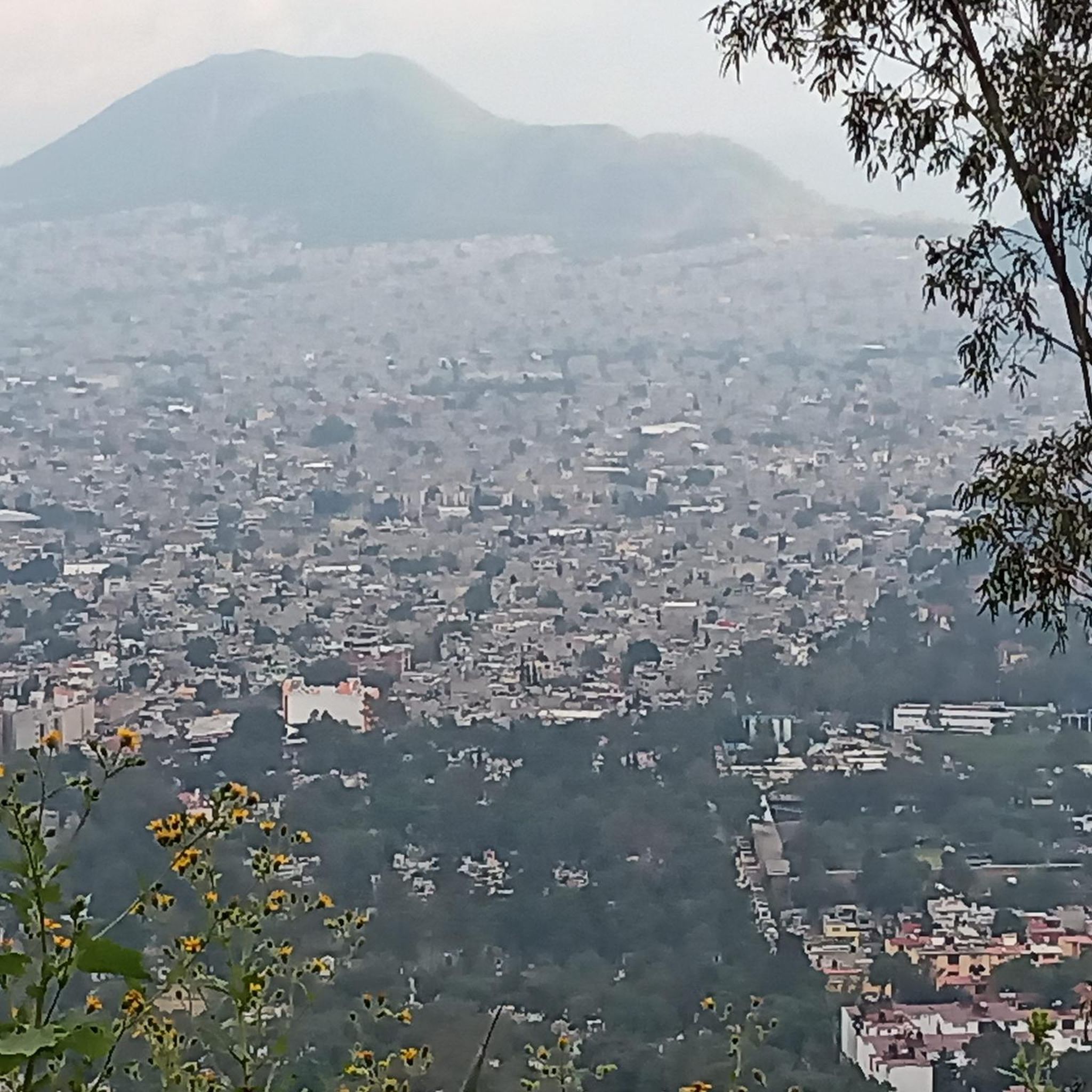
Road cycling in Cerro De La Estrella offers challenging ascents and descents within the urban landscape of Mexico City. The area is characterized by the prominent Cerro de la Estrella mountain, which features varied terrain including eucalyptus forests and gardens of cactus and agave. Cyclists encounter sustained climbs with sections reaching up to 12-13% grade, leading to panoramic views of the Valley of Mexico. The mountain's elevation provides a demanding workout for road cyclists.
Best road cycling routes in Cerro…
Last updated: July 2, 2026
5.0
(1)
109
riders
139km
06:53
2,120m
2,110m
Hard road ride. Very good fitness required. Mostly well-paved surfaces and easy to ride.
23
riders
121km
06:07
1,970m
1,970m
Hard road ride. Very good fitness required. Mostly well-paved surfaces and easy to ride.

Sign up for free
5.0
(1)
14
riders
103km
04:30
880m
880m
Moderate road ride. Good fitness required. Mostly well-paved surfaces and easy to ride.
5.0
(1)
19
riders
48.2km
02:09
130m
130m
Moderate road ride. Good fitness required. Mostly well-paved surfaces and easy to ride.
3.0
(1)
8
riders
22.2km
01:04
60m
60m
Easy road ride. Great for any fitness level. Mostly well-paved surfaces and easy to ride.
Get access to more routes and recommendations from other explorers.
Sign up for free
Already have an account?
Our route recommendations are based on thousands of hikes, rides, and runs completed by other people on komoot.
Start today with a free account
Your next adventure awaits.
Login or Signup
Popular around Cerro De La Estrella


Tips from the Community

This is a spectacular bronze statue representing the Roman goddess of the hunt. It was unveiled in 1942.
0
0
This is one of the city's most iconic landmarks. The column and statue together reach almost 50 meters in height. It symbolizes the freedom of the Mexican people from Spanish rule.
0
0

Ideal for taking a break with the group and spending some quality time in the shop. 🙌🏼✨
0
0

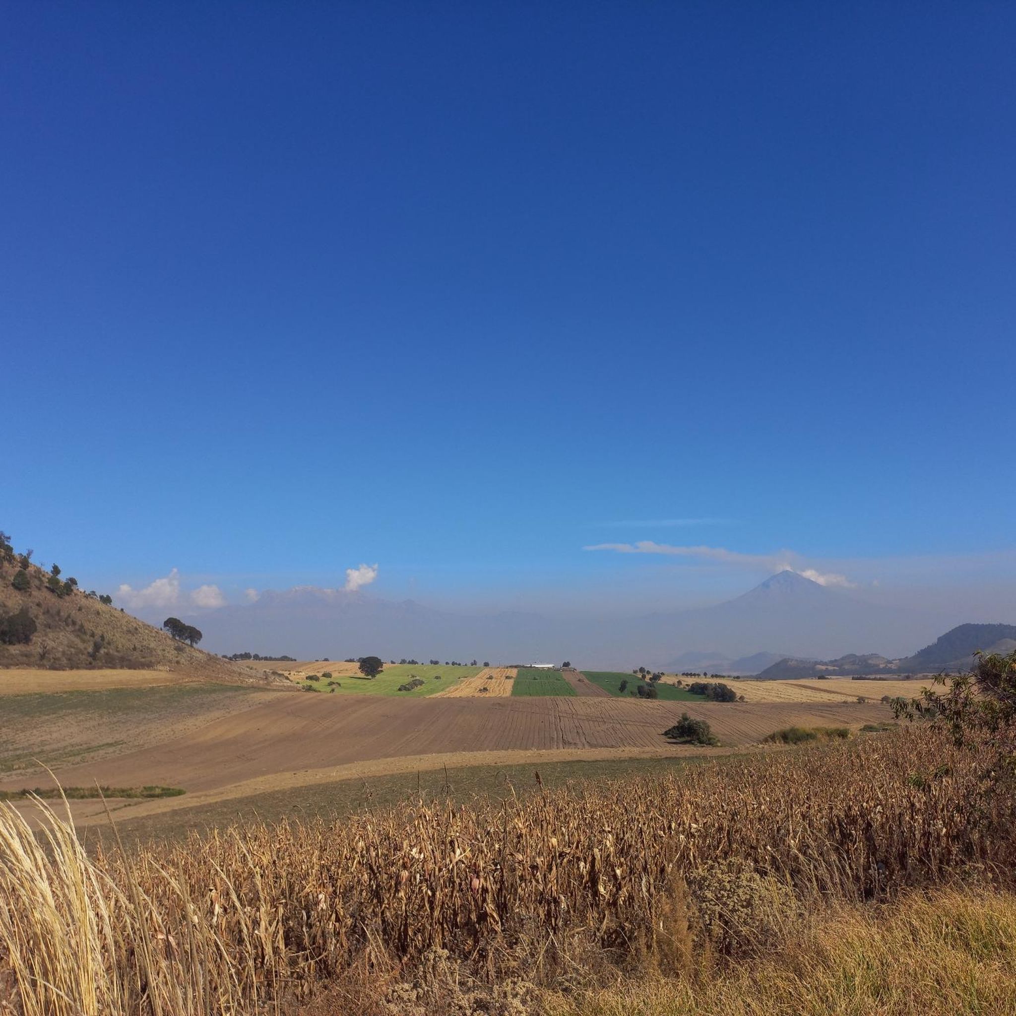
La Loma, a classic cycling spot where the climb from San Gregorio ends (if you're coming from Xochimilco), is also the crowning glory when coming from Tlayacapan (30 km, almost all uphill, 1,200 m total climb) or Juchitepec (8 km, 350 m total climb). You can enjoy the panoramic view with quesadillas, coffee, beer, pulque, etc. Weather permitting, you'll be able to see the volcanoes in the distance. Whether you're heading elsewhere, a stop here is definitely a must. Enjoy the view and have a safe trip to your destination!
2
0
Here, at the point where a state ends and begins, there's a place to eat before descending toward Tlayacapan or continuing uphill toward La Loma, where you can take a break and have some quesadillas on the side of the road before Felipe Neri. On this road with panoramic views of the volcanoes, you can enjoy the descent or ascent (depending on your direction) and the rural landscapes of the area. Fun fact: According to the sign, this is where Mexico City ends, and according to the maps, the State of Mexico.
2
0
a very panoramic view ideal for taking a short break, there are stalls where you can eat with the group.
0
0
This colorful arch welcomes you to Xochimilco (or bids you farewell). It's currently in poor condition but still noticeable. At this point on the climb toward La Loma, you can stop for refreshments if necessary, or simply continue on to your destination or training goal. Fun fact: There's almost always a man at his stall at this point with his dogs and loud music.
2
0
Frequently Asked Questions
How many road cycling routes are available in Cerro De La Estrella?
There are over 50 road cycling routes in Cerro De La Estrella, offering a range of options for different skill levels. You'll find 20 easy routes, 22 moderate routes, and 17 difficult routes to explore.
What is the typical terrain like for road cycling in Cerro De La Estrella?
Road cycling in Cerro De La Estrella is characterized by challenging ascents and descents within an urban landscape. The terrain features a mix of eucalyptus forests and gardens of cactus and agave. While routes are generally paved, cyclists should be mindful that some sections may have debris or less-than-ideal road conditions. The mountain reaches approximately 8,000 feet at its peak, offering strenuous climbs with an average grade of about 7%, and some sections reaching up to 12-13%.
Are there any family-friendly road cycling routes in Cerro De La Estrella?
While many routes in Cerro De La Estrella feature significant climbs and elevation gain, there are 20 routes categorized as easy. For instance, the Cafetería Moon – Torre Manacar loop from Tasqueña is an easy 14.1-mile (22.7 km) route that offers a less demanding option suitable for those looking for a more relaxed ride.
What kind of views can I expect on road cycling routes in Cerro De La Estrella?
Road cycling routes in Cerro De La Estrella offer breathtaking panoramic views of the Valley of Mexico and the sprawling city below. The summit viewpoint, in particular, provides expansive 360-degree vistas. Routes like the San Lorenzo Viewpoint – La Loma Viewpoint loop from Lomas Estrella are known for their expansive city views after significant climbs.
Are there any historical or cultural landmarks along the road cycling routes?
Yes, Cerro De La Estrella is rich in history. The park contains pre-Hispanic archaeological ruins, including remains of pyramids and ceremonial structures dating back to 100 CE, historically used for the significant New Fire Ceremony. Near the summit, you can also find the Museo del Fuego Nuevo, which provides insights into the area's archaeological discoveries and the ceremony's importance.
What is the best time of year to go road cycling in Cerro De La Estrella?
The region's climate generally allows for road cycling year-round. However, considering the strenuous nature of the climbs and the elevation, cooler, drier periods might be more comfortable. Always check local weather forecasts before heading out, especially for potential rain or extreme heat.
Are there any long-distance road cycling challenges in Cerro De La Estrella?
Yes, Cerro De La Estrella offers several long-distance challenges with substantial climbing. For example, the View of Pico del Águila – Estación Contreras Museum loop from Culhuacán is a difficult 75.1-mile (120.8 km) route that provides a significant workout with diverse scenery and nearly 2,000 meters of elevation gain.
Can I find loop routes for road cycling in Cerro De La Estrella?
Many of the road cycling routes in Cerro De La Estrella are designed as loops, allowing you to start and end at the same point. Examples include the La Loma Viewpoint – San Lorenzo Viewpoint loop from Mexicaltzingo, a 64.0-mile (103.1 km) route that takes you through varied terrain with multiple viewpoints.
What do other road cyclists enjoy most about road cycling in Cerro De La Estrella?
The area is highly rated by the komoot community, with an average score of 4.8 stars from over 160 reviews. Cyclists frequently praise the challenging ascents, the rewarding panoramic views of Mexico City, and the unique blend of natural features like eucalyptus forests and arid gardens within an urban setting.
Are there any moderate difficulty road cycling routes for experienced riders looking for a good workout?
Yes, there are 22 routes classified as moderate difficulty. A good option for experienced riders seeking a solid workout is the Angel of Independence – Lions' Gate loop from Ciudad Jardín, a 30.0-mile (48.3 km) route that offers a balanced challenge without the extreme demands of the most difficult climbs.
Is public transport available to reach the road cycling routes in Cerro De La Estrella?
Cerro De La Estrella is located within Mexico City, making it accessible via the city's public transport network. Depending on your starting point, you can use various options like the metro or local buses to get close to the park's entrances, though specific routes may require further research for bike transport policies.
What should I be aware of regarding road conditions when cycling in Cerro De La Estrella?
While many surfaces are paved, some cyclists have noted that road conditions can sometimes be 'not that good' with 'debris on the road.' It's advisable to ride with caution, especially on descents, and to ensure your bike is suitable for potentially varied road quality. The presence of police guarding the entrance has contributed to a safer environment.
Most popular routes in Cerro De La Estrella

Get inspired with the komoot mobile app


