The best MTB trails around Falls Lake Reservoir
4.5
(3)
121
riders
4
rides
Mountain bike trails around Falls Lake Reservoir are characterized by a landscape of rolling hills and extensive woodlands surrounding the large freshwater body in Wake County. The region offers a mix of terrain, including singletrack paths and wider gravel sections, often following the contours of the reservoir. Riders can expect varied elevation changes, with some routes featuring gradual climbs and descents through forested areas. The area provides a natural setting for mountain biking, with trails that weave through the local…
Last updated: May 21, 2026
46
riders
17.7km
01:32
160m
160m
This 11.0 miles (17.7 km) mountain biking route in Raleigh offers challenging terrain, elevation changes, and views of Beaver Dam Lake.
4.0
(2)
42
riders
16.2km
02:18
140m
140m
This 10.1-mile mountain biking route near Falls Lake offers a challenging, technical ride with natural obstacles and views of the Neuse Rive

Sign up for free
22
riders
22.4km
01:35
220m
220m
Easy mountain bike ride. Great for any fitness level. Suitable for all skill levels.
2
riders
38.7km
02:06
240m
240m
Moderate mountain bike ride. Good fitness required. Suitable for all skill levels.
5.0
(1)
8
riders
Moderate mountain bike ride. Good fitness required. Suitable for all skill levels.
Our route recommendations are based on thousands of hikes, rides, and runs completed by other people on komoot.
Start today with a free account
Your next adventure awaits.
Login or Signup
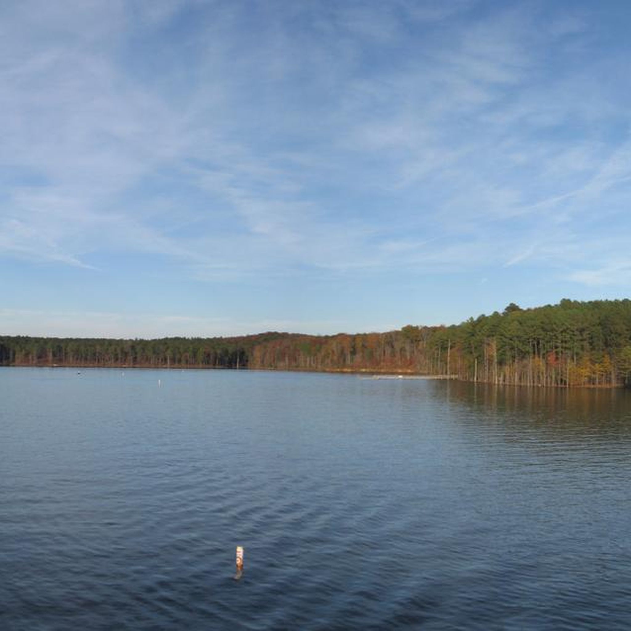
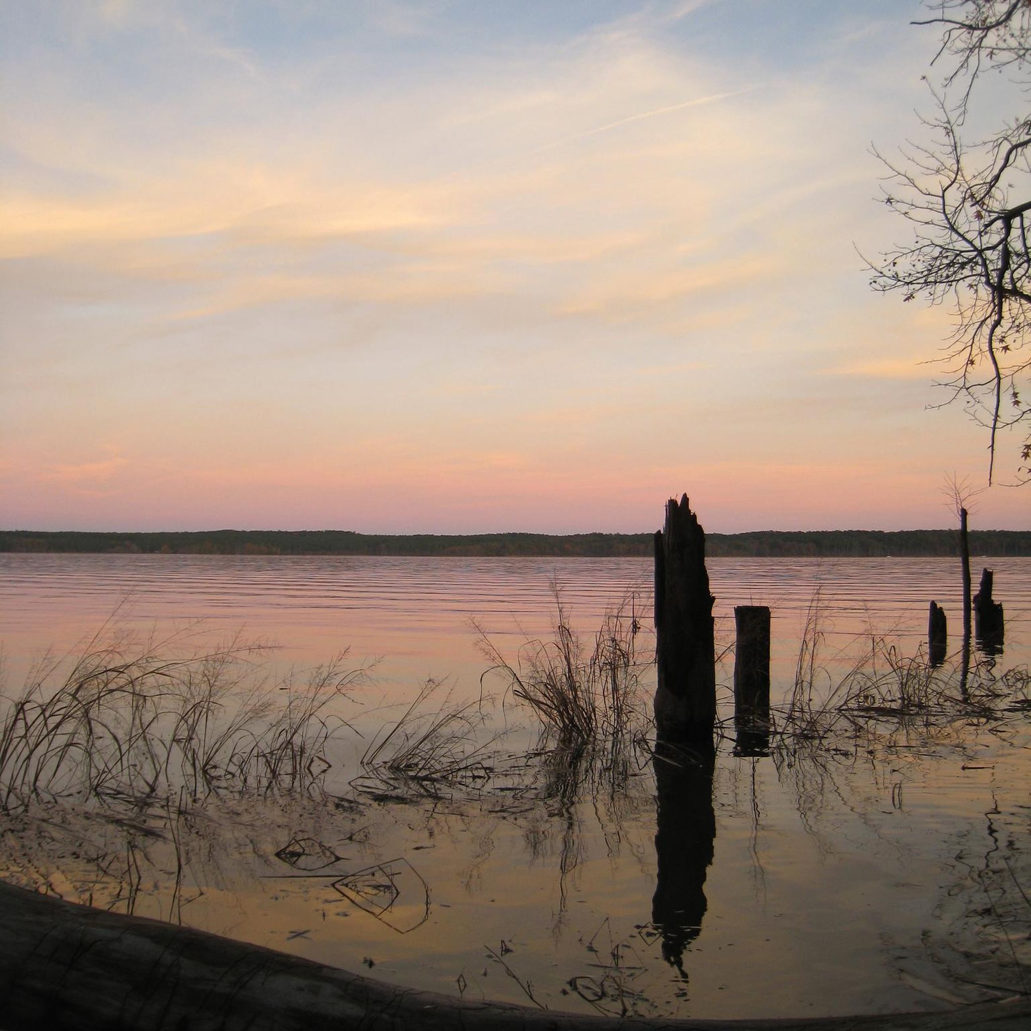


Tips from the Community

The Neuse River Greenway Trail stretches 34.6 miles from Falls Lake Dam to the Sam's Branch Greenway in Clayton. This multi-use path runs along the Neuse River with lush, tree-lined paths and multiple river crossings over bridges, including two suspension bridges. There are also short boardwalks through wetland areas that provide excellent wildlife viewing opportunities. On the southern end, the trail merges with the Clayton River Walk, extending the river's scenic views over an additional 4 miles. The trail connects to several other paths, including the Abbotts Creek Trail and Walnut Creek Trail, and is part of the East Coast Greenway network. There is drinking water and restrooms at the Buffaloe Road Athletic Park and Anderson Point Park.
0
0

This bridge offers stunning views of the Neuse River and the surrounding natural scenery, connecting the Neuse River Greenway and the Smith Creek Greenway
1
0
The Neuse River Greenway Trail stretches 34.6 miles from Falls Lake Dam to the Sam's Branch Greenway in Clayton. This multi-use path runs along the Neuse River with lush, tree-lined paths and multiple river crossings over bridges, including two suspension bridges. There are also short boardwalks through wetland areas that provide excellent wildlife viewing opportunities. On the southern end, the trail merges with the Clayton River Walk, extending the river's scenic views over an additional 4 miles. The trail connects to several other paths, including the Abbotts Creek Trail and Walnut Creek Trail, and is part of the East Coast Greenway network. There is drinking water and restrooms at the Buffaloe Road Athletic Park and Anderson Point Park. Currently, there are closures between mile markers 13.75 and 17.25 until December 2024 and at mile marker 8 until January 2025, with a detour available for the latter. For the latest updates, including detour details, visit the City of Raleigh's trail page.
0
0

This is one of two suspension bridges that span the Neuse River. The bridge is 275 feet long and has two 45-foot-tall steel towers.
0
0

Spanning 34.5 miles, The Neuse River Trail traces a paved greenway in the Raleigh region of North Carolina. It meanders alongside the Neuse River, extending from Falls Lake Dam to Clayton town. This scenic route traverses Raleigh, Wake Forest, Knightdale, and Clayton, spanning Wake and Johnston counties.
0
0
This is one of two suspension bridges that span the Neuse River. The bridge is 275 feet long and has two 45-foot-tall steel towers.
1
0

The Neuse River Bridge is situated along the Neuse River Trail and passes the name giving river. From here you can connect to the Smith Creek Greenway.
0
0

New Light Trail mostly follows the shore line of Neuse River, offering beautiful views of the stream, paddlers, and the other shore. Fun fact: Neuse River is the longest river fully contained in North Carolina.
0
0
Frequently Asked Questions
What types of mountain bike trails can I find around Falls Lake Reservoir?
The trails around Falls Lake Reservoir are characterized by rolling hills and extensive woodlands. You'll find a mix of singletrack paths and wider gravel sections, often following the contours of the reservoir. The area provides options for both easy and moderate ability levels, with varied elevation changes through forested areas.
Are there any easy mountain bike trails suitable for beginners?
Yes, there are several easy trails perfect for beginners. A great option is the Beaver Dam Creek South Loop, an 11.0-mile (17.7 km) trail that offers a gentle ride through wooded areas. Another easy choice is the View of Beaver Dam Lake loop from Serenity Lake, which is 13.9 miles (22.4 km) and leads through forested landscapes.
Are there any family-friendly mountain biking options?
The easy-rated trails around Falls Lake Reservoir are generally suitable for families looking for a pleasant ride. The Beaver Dam Creek South Loop is an excellent choice, offering a straightforward path through scenic woodlands without significant technical challenges, making it enjoyable for various skill levels within a family.
What are the options for more experienced mountain bikers?
For those seeking a moderate challenge, the New Light Trail is a popular 10.1-mile (16.2 km) path featuring varied terrain. Another good option is the Rivins Lake loop from Southern Hills Estates, a longer 38.6-mile (62.1 km) route that provides a more extended ride with moderate difficulty.
Are there any loop mountain bike trails around Falls Lake Reservoir?
Yes, many of the trails are loops, offering a continuous ride back to your starting point. Popular loop options include the Beaver Dam Creek South Loop, the View of Beaver Dam Lake loop from Serenity Lake, and the Rivins Lake loop from Southern Hills Estates.
What can I see along the mountain bike trails?
The trails often provide views of Falls Lake itself and lead through dense woodlands. You might encounter various points of interest such as the Falls Lake Causeway or sections of the Falls Lake Trail. Keep an eye out for the diverse local ecosystem as you ride.
What do other mountain bikers enjoy most about the trails here?
The mountain bike trails around Falls Lake Reservoir are highly rated by the komoot community, with an average score of 4.5 stars. Riders often praise the natural setting, the variety of terrain, and the well-maintained paths that weave through the local ecosystem, providing a pleasant outdoor experience.
What are the typical trail conditions like?
The trails generally consist of singletrack and wider gravel sections. Conditions can vary with weather, so it's always a good idea to check local forecasts. After heavy rain, some sections might be muddy, especially in wooded areas. The region's rolling hills mean you'll encounter varied surfaces.
Is mountain biking possible during winter months?
Mountain biking around Falls Lake Reservoir can be enjoyed in winter, though conditions will depend on the weather. The area generally experiences mild winters, but trails can be wet or muddy after rain or if there's any freezing precipitation. Always check local conditions and dress appropriately for colder temperatures.
Are there any cafes or amenities near the mountain bike trails?
While the trails themselves are set in a natural environment, the Falls Lake Reservoir area is close to several towns and communities. You'll find various amenities, including cafes and restaurants, a short drive from many trailheads. It's advisable to plan your route and check for nearby services before you head out.
Where can I find parking for mountain biking trails?
Many of the popular trailheads around Falls Lake Reservoir offer designated parking areas. For example, access points for trails like the Neuse River Greenway loop from Healthtrax Parking Deck often have specific parking facilities. It's recommended to check the individual tour details on komoot for precise parking information for your chosen route.
What kind of wildlife might I encounter on the trails?
The extensive woodlands and proximity to Falls Lake mean the area is home to diverse wildlife. Riders might spot various bird species, deer, and smaller mammals. Remember to maintain a respectful distance and avoid disturbing any animals you encounter.
Most popular routes around Falls Lake Reservoir
Most popular attractions around Falls Lake Reservoir

Get inspired with the komoot mobile app


Explore more
Browse the best MTB trails in other regions.
