The best road cycling routes around Käyrälampi
5.0
(2)
275
riders
39
rides
Road cycling routes around Käyrälampi offer varied terrain within the Kouvola region, characterized by its central lake, surrounding diverse forests, and connecting rivers. The area features a mix of light traffic lanes and dedicated pedestrian and bicycle ways, providing accessible paths for cyclists. While some sections may include steeper gradients, the landscape generally allows for exploration of both natural features and urban fringes. The region's waterways, including the Jyräänjoki and Käyräjoki rivers, contribute to the scenic routes.
Best road cycling…
Last updated: June 29, 2026
12
riders
Moderate road ride. Good fitness required. Some segments of this route may be unpaved and difficult to ride.
6
riders
50.6km
02:01
280m
280m
Moderate road ride. Good fitness required. Mostly well-paved surfaces and easy to ride.

Sign up for free
5
riders
40.9km
01:39
220m
220m
Easy road ride. Great for any fitness level. Mostly well-paved surfaces and easy to ride.
37
riders
36.8km
01:35
120m
120m
Moderate road ride. Great for any fitness level. Some segments of this route may be unpaved and difficult to ride.
27
riders
40.3km
01:42
250m
250m
Easy road ride. Great for any fitness level. Mostly well-paved surfaces and easy to ride.
Get access to more routes and recommendations from other explorers.
Sign up for free
Already have an account?
Our route recommendations are based on thousands of hikes, rides, and runs completed by other people on komoot.
Start today with a free account
Your next adventure awaits.
Login or Signup
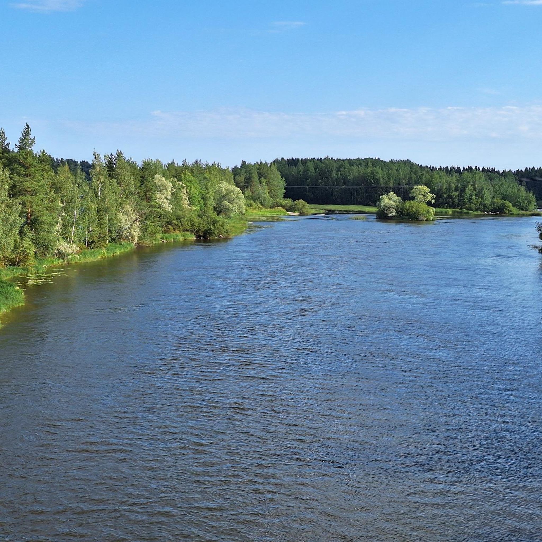



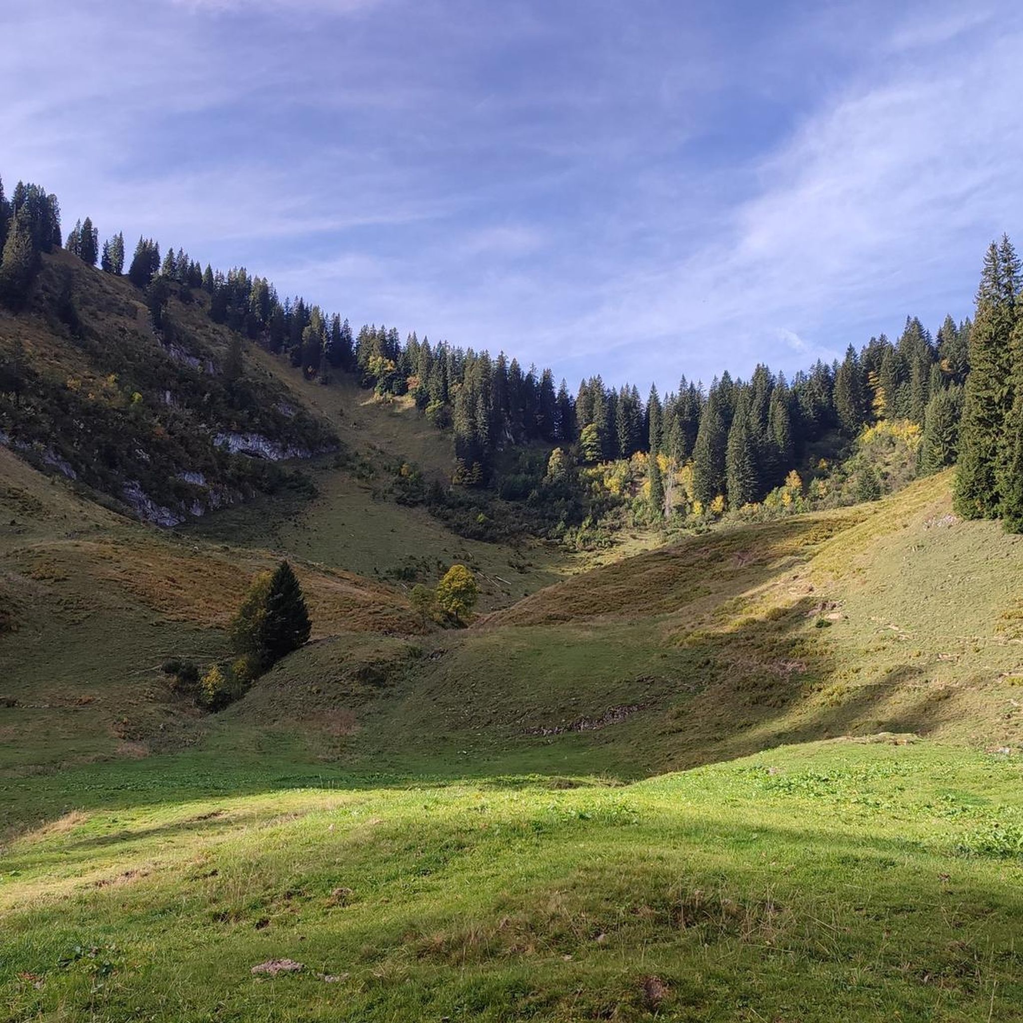
Tips from the Community

not too much traffic, gently rolling hills, good asphalt
0
0
not much traffic, rolling hills (flatter in the north) with small lakes peeking through here and there, okay asphalt (with crumbling edges(?!) in some places) with occasional small cracks, bike path through Sippola (with grass growing through the asphalt in some places...)
0
0
nice views of the Kymijoki river downstream and the factories upstream, bike paths on both sides
0
0
not much traffic, gently rolling hills, okay asphalt route 46 in the west isn’t exactly road bliss but at least the shoulders are pretty wide, the traffic is just moderately busy at best and anyway the nearest minor road (to/from Jaala) is just 2 km away
1
0
road not too busy, gently rolling and winding, okay asphalt, 4 km of okay bike path in the southern end
0
0
nice views of the river, runs along a quiet side road (for TT pace just use the road instead), flat
0
0
Frequently Asked Questions
How many road cycling routes are available around Käyrälampi?
There are over 45 road cycling routes around Käyrälampi, offering a variety of options for different skill levels. You'll find routes ranging from easy to difficult, exploring the lake, rivers, and wider Kouvola area.
What kind of terrain can I expect on road cycling routes in Käyrälampi?
The terrain around Käyrälampi is varied. While the immediate Käyrälampi outdoor trail includes mixed surfaces like cinder-stone paths and wooden duckboards, the wider road cycling network utilizes light traffic lanes and dedicated pedestrian and bicycle ways. You can expect routes that traverse urban landscapes, forests, and lake areas, with some sections featuring steeper gradients.
Are there any easy road cycling routes suitable for beginners or families?
Yes, Käyrälampi offers several easy road cycling routes. For instance, the Kuninkaankivi – Vanhatie Bike Path loop from Kouvola is an easy 40.3 km path that provides a pleasant ride without significant challenges. Overall, there are 21 easy routes in the area.
What natural features can I see while cycling around Käyrälampi?
Road cycling routes around Käyrälampi offer views of the central Käyrälampi Lake, which is about a kilometer long and wide. You'll also encounter the Jyräänjoki and Käyräjoki rivers, which flow into and out of the lake, adding to the scenic beauty. The routes often pass through diverse forests, providing a serene natural experience.
Are there any circular road cycling routes in the Käyrälampi area?
Yes, many routes around Käyrälampi are designed as loops, allowing you to start and end in the same location. An example is the Kaipiainen–Sippola Road – Matarojantie Road loop from Tykkimäki amusement park, which is a moderate 80.3 km circular route.
Where can I find parking for road cycling routes in Käyrälampi?
Parking is generally available at popular starting points for outdoor activities around Käyrälampi. For routes like the Kaipiainen–Sippola Road – Matarojantie Road loop, starting near Tykkimäki amusement park, you can often find parking facilities associated with the park or nearby amenities.
What is the best time of year for road cycling in Käyrälampi?
The best time for road cycling in Käyrälampi is typically during the warmer months, from spring through autumn, when the weather is mild and the trails are clear. While some paths are maintained, winter conditions can make road cycling challenging due to snow and ice.
Are there places to eat or get refreshments along the cycling routes?
Yes, Käyrälampi is a recreation oasis with various services. You can find café and restaurant services in the area, particularly near the lake and the Tykkimäki Amusement Park. There are also three rest areas along the Käyrälampi outdoor trail equipped with fireplaces, benches, and tables, and a barbecue area near the beach.
What do other road cyclists enjoy most about cycling in Käyrälampi?
The road cycling routes in Käyrälampi are highly rated by the komoot community, with an average score of 5.0 stars from 4 reviews. Cyclists often praise the varied terrain, the scenic lake views, and the diverse forests that define the area's routes. Nearly 300 road cyclists have used komoot to explore Käyrälampi's terrain.
Can I reach Käyrälampi by public transport to start a cycling route?
Käyrälampi is located within the wider Kouvola area, which has public transport connections. While specific routes to trailheads may vary, the region is generally accessible, and many cycling routes, such as the Riverside Bike Path – Myllykoski loop from Kouvola, can be started directly from Kouvola itself, which is well-served by public transport.
Are there accommodation options near the road cycling routes?
Yes, Käyrälampi offers a range of accommodation options, including hotels, villas, and cabins. These facilities provide convenient bases for exploring the road cycling routes and enjoying other leisure activities in the area.
What are some longer road cycling routes for experienced riders?
For more experienced riders seeking longer distances, routes like the Lyöttiläntie–Iitintie Road – Iitintie Road loop from Kouvola offer a moderate challenge, covering 55.9 km with significant elevation gain. Another option is the Multamäentie Road – Selänpääntie loop from Jokela, a 50.6 km route exploring the wider Kouvola area.
Most popular routes around Käyrälampi

Get inspired with the komoot mobile app


Explore more
Browse the best Road cycling routes in other regions.
