The best walks and hikes around Tystrup Sø
4.6
(230)
1,996
hikers
80
hikes
Hiking around Tystrup Sø offers diverse natural landscapes in Zealand, Denmark. The region features rolling hills, dense woodlands, and the expansive Tystrup Sø, one of Zealand's largest lakes. The Suså River flows through the lake, contributing to the varied terrain shaped by the last ice age. Hikers can explore ancient forests, protected nature reserves, and elevated viewpoints.
Best hiking trails around Tystrup Sø
- The most popular hiking route is Primeval Forest - Suserup Skov – View of Tystrup Lake loop from Lille Sørby, a 5.1 miles (8.1 km) trail that takes 2 hours 8 minutes to complete. This moderate route offers views of the lake and passes through Suserup Skov.
- Another top favourite among local hikers is View of Tystrup Lake – Primeval Forest - Suserup Skov loop from Suserup Skov, an easy 3.6 miles (5.7 km) path. This trail provides scenic views of Tystrup Lake and explores the ancient Suserup Skov.
- Local hikers also love the Primeval Forest - Suserup Skov loop from Lille Sørby, a 3.1 miles (4.9 km) trail leading through Suserup Skov, often completed in about 1 hour 19 minutes.
- Hiking around Tystrup Sø is defined by ancient woodlands like Suserup Skov, picturesque lake views, and varied terrain including rolling hills and river valleys. The network offers options for different ability levels, from easy lakeside strolls to moderate forest paths.
- The routes in Tystrup Sø are highly rated by the komoot community with an average score of 4.5 stars from nearly 200 reviews. More than 1700 hikers have used komoot to explore Tystrup Sø's varied terrain.
Last updated: June 26, 2026
5.0
(2)
6
hikers
5.02km
01:19
40m
40m
Easy hike. Great for any fitness level. Easily-accessible paths. Suitable for all skill levels.
4.8
(24)
129
hikers
Moderate hike. Good fitness required. Easily-accessible paths. Suitable for all skill levels.

Sign up for free
4.0
(2)
13
hikers
Easy hike. Great for any fitness level. Easily-accessible paths. Suitable for all skill levels.
8
hikers
3.63km
00:57
30m
30m
Easy hike. Great for any fitness level. Easily-accessible paths. Suitable for all skill levels.
4
hikers
2.50km
00:41
30m
30m
Easy hike. Great for any fitness level. Easily-accessible paths. Suitable for all skill levels.
Get access to more routes and recommendations from other explorers.
Sign up for free
Already have an account?
Our route recommendations are based on thousands of hikes, rides, and runs completed by other people on komoot.
Start today with a free account
Your next adventure awaits.
Login or Signup


Tips from the Community

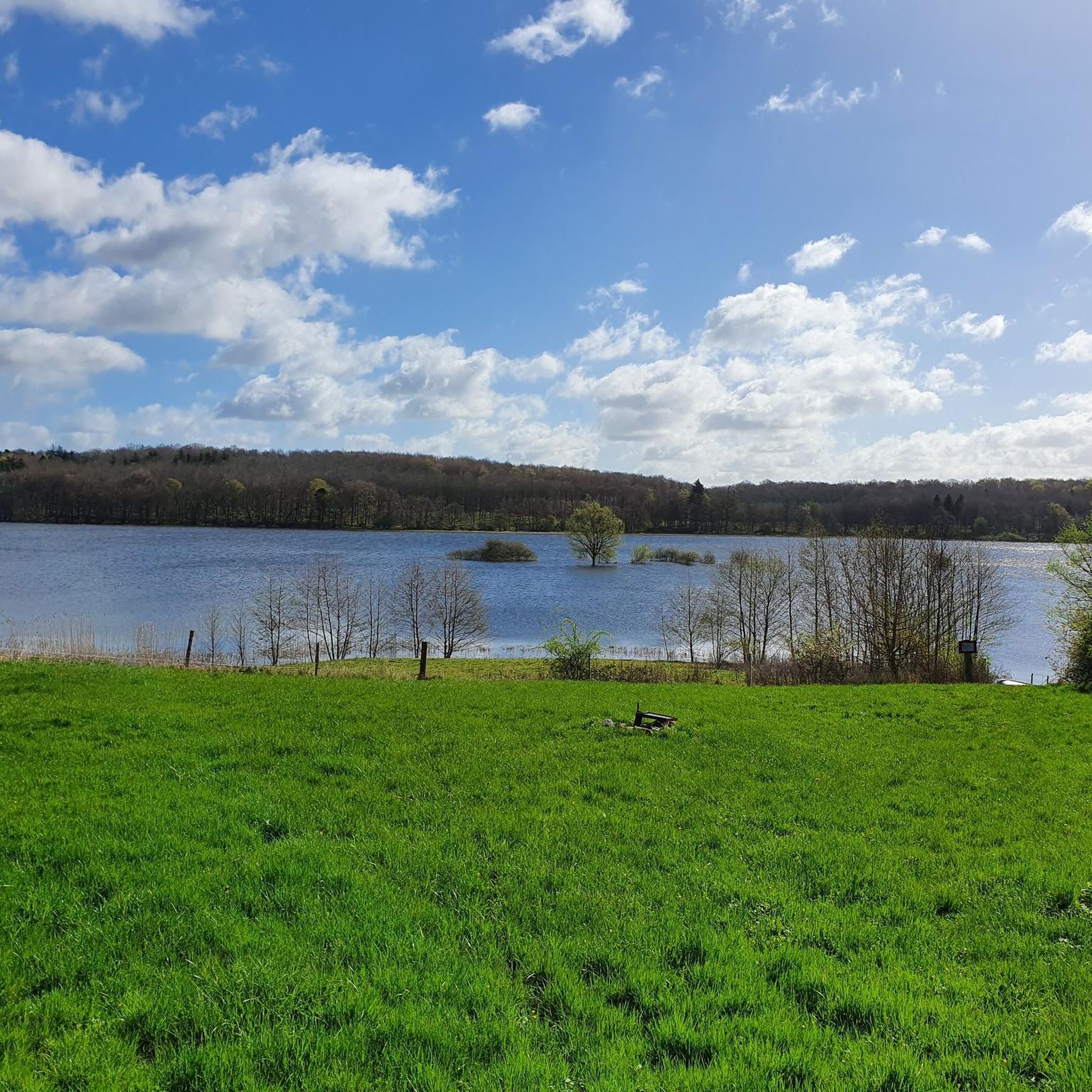
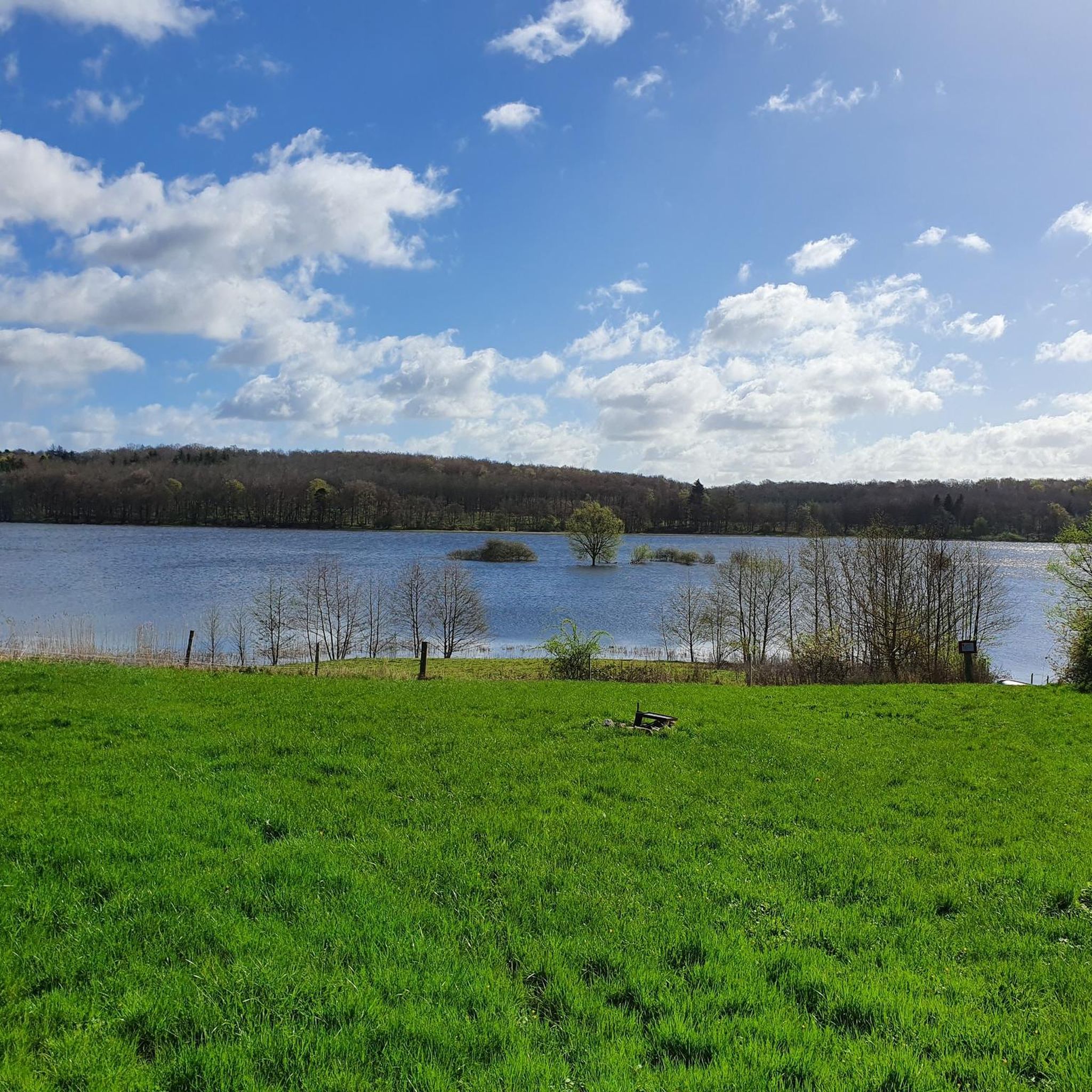
From this lay-by beside the country road, you can enjoy a wonderful view of Lake Tystrup. There are also benches to sit on.
0
0
A free-to-use nature campsite located in Frederikskilde Forest, stretching along the shores of Lake Tystrup. It is a popular spot among canoeists and nature enthusiasts. The Suserupskov primeval forest is situated right next door. Fire pits are available, and drinking water and a toilet can be found at the nearby parking lot.
0
0

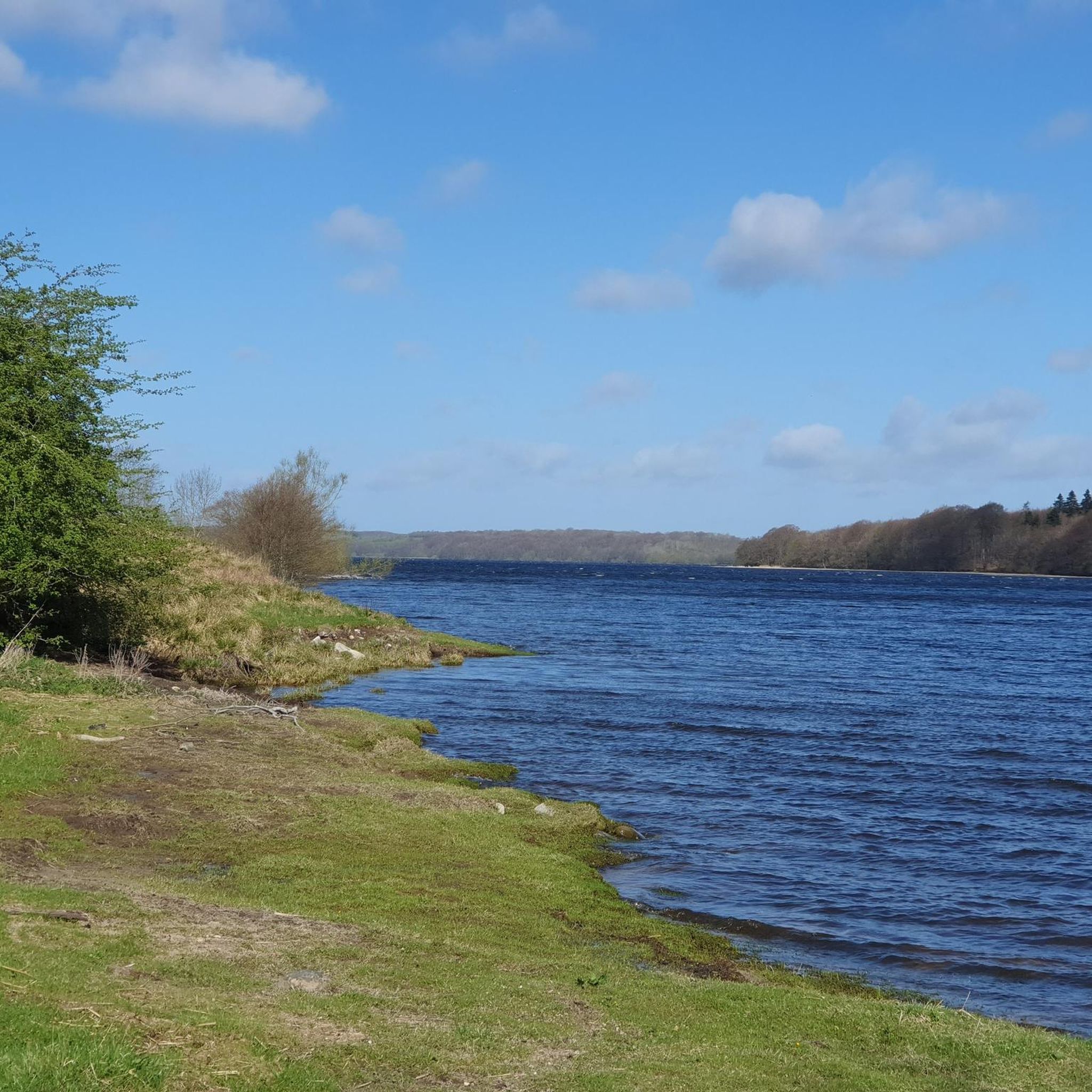
Lovely nice beach with picnic tables and grill. Perfect for some relaxing time out by the lapping waters of the lake.
0
0
View over Tystrup and Bavelse lakes
0
0

near the hunebed you will find a picnic bench and the possibility to have a barbecue
0
0

visit in winter and bring hot drink
0
0
Frequently Asked Questions
How many hiking trails are available around Tystrup Sø?
There are over 75 hiking routes around Tystrup Sø, offering a wide range of experiences. This includes 56 easy trails, 19 moderate routes, and 4 more challenging options, ensuring something for every skill level.
What kind of terrain can I expect on the hiking trails around Tystrup Sø?
The terrain around Tystrup Sø is quite varied, shaped by the last ice age. You'll find rolling hills, dense woodlands, and picturesque lake views. Trails often meander through ancient forests like Suserup Skov, along the shores of Tystrup Sø, and beside the Suså River, Zealand's longest river. Some routes also feature elevated viewpoints offering panoramic vistas.
Are there any family-friendly hiking trails in the Tystrup Sø area?
Yes, Tystrup Sø offers many family-friendly options, with 56 easy trails perfect for all ages. These routes often feature gentle gradients and scenic views. For example, the Primeval Forest - Suserup Skov loop from Lille Sørby is an easy 3.1-mile (4.9 km) trail through the ancient Suserup Skov, suitable for a pleasant family outing.
Can I bring my dog on the hiking trails around Tystrup Sø?
Many trails around Tystrup Sø are suitable for dogs, but it's always recommended to keep them on a leash, especially in nature reserves and areas with wildlife. The diverse woodlands and open landscapes provide plenty of opportunities for walks with your canine companion. Always check local signage for specific restrictions.
Are there any circular hiking routes around Tystrup Sø?
Yes, Tystrup Sø features several popular circular routes. A notable option is the Primeval Forest - Suserup Skov – View of Tystrup Lake loop from Lille Sørby, which is a moderate 5.1-mile (8.1 km) trail offering beautiful lake views and passage through Suserup Skov. Another easy loop is the View of Tystrup Lake – Primeval Forest - Suserup Skov loop from Suserup Skov, covering 3.6 miles (5.7 km).
What natural features or landmarks can I see while hiking in Tystrup Sø?
Tystrup Sø is rich in natural and historical landmarks. You can explore the ancient Suserup Skov, one of Denmark's closest examples of a primeval forest, or visit the Hyldekrogen Nature Reserve with its panoramic lake views. Elevated viewpoints like Bavnen (55 meters above sea level) offer breathtaking vistas of the lakes and the broader Zealand landscape. Don't miss the Langdolmen at Frederikskilde Strand, a Neolithic long barrow dating back 5,600 years.
Is there public transport available to reach the hiking areas in Tystrup Sø?
While specific public transport options directly to every trailhead might be limited, you can often reach nearby towns and villages by bus or train, and then proceed to the hiking areas. It's advisable to check local public transport schedules for routes connecting to the Tystrup Sø region before planning your trip.
Where can I find parking for the hiking trails around Tystrup Sø?
Parking is generally available at key access points and popular trailheads around Tystrup Sø, such as near Suserup Skov or Kongskilde Naturcenter. These designated parking areas provide convenient access to the various hiking routes. Always look for official parking signs.
What is the best time of year to go hiking in Tystrup Sø?
Tystrup Sø offers beautiful hiking experiences year-round. Spring brings blooming wildflowers and fresh greenery, while summer provides warm weather for lakeside strolls. Autumn transforms the woodlands with vibrant colors, and winter offers a serene, quiet landscape, especially when the lakes are frozen. The region is particularly vital as a wintering ground for thousands of birds, including the magnificent sea eagle, making it a great time for birdwatching.
Are there cafes or places to eat near the hiking trails in Tystrup Sø?
Yes, you can find options for refreshments and meals in the vicinity of Tystrup Sø. Kongskilde Naturcenter, housed in an old watermill, serves as a hub for nature experiences and often has facilities for visitors. Additionally, nearby towns and villages offer various cafes, pubs, and restaurants where you can refuel after your hike.
What do other hikers enjoy most about hiking in Tystrup Sø?
The area is highly rated by the komoot community, with an average score of 4.5 stars from nearly 200 reviews. Hikers frequently praise the diverse natural landscapes, the tranquility of the ancient Suserup Skov, and the stunning views of Tystrup Lake. The well-maintained paths and variety of routes for different skill levels are also commonly highlighted.
Are there any easy hiking routes suitable for beginners in Tystrup Sø?
Absolutely. Tystrup Sø is very welcoming for beginners, with 56 out of 79 routes classified as easy. These trails typically have minimal elevation gain and well-defined paths, making them ideal for those new to hiking or looking for a relaxed walk. An example is the Suserup Skov loop from Suserup Skov, an easy 2.2-mile (3.6 km) trail.
Most popular routes around Tystrup Sø

Get inspired with the komoot mobile app


Explore more
Browse the best Hikes in other regions.
