The best walks and hikes around Grynderup Sø
4.7
(166)
946
hikers
77
hikes
Hiking around Grynderup Sø offers routes through a landscape characterized by coastal paths, cliffs, and views of the North Sea. The region features varied terrain, including areas near the lake and along the coastline. Trails often traverse open areas and offer perspectives of the surrounding waters. This area provides opportunities for outdoor activity in a natural setting.
Best hiking trails around Grynderup Sø
- The most popular hiking route is Knudklint – Coastal Path Near the Cliffs loop from Nederby, a 3.6 miles (5.9 km) trail that takes 1 hour 31 minutes to complete. This easy route follows a coastal path offering views of cliffs.
- Another top favourite among local hikers is View of the Beach – Knudklint loop from Fur Bryghus, an easy 1.8 miles (2.8 km) path. This trail provides views of the beach and the Knudklint area.
- Local hikers also love the Hwisestlow – View of the North Sea Coast loop from Nederby, a 3.2 miles (5.1 km) trail leading through coastal landscapes, often completed in about 1 hour 21 minutes.
- Hiking around Grynderup Sø is defined by coastal paths, views of the North Sea, and areas near the lake. The network offers options for different ability levels, including many easy hikes Grynderup Sø.
- The routes in Grynderup Sø are highly rated by the komoot community with an average score of 4.6 stars from over 160 reviews. More than 950 hikers have used komoot to explore Grynderup Sø's varied terrain.
Last updated: July 9, 2026
4.8
(39)
181
hikers
5.86km
01:32
40m
40m
Easy hike. Great for any fitness level. Easily-accessible paths. Suitable for all skill levels.
5.0
(5)
28
hikers
2.85km
00:44
20m
20m
Easy hike. Great for any fitness level. Easily-accessible paths. Suitable for all skill levels.

Sign up for free
4.9
(9)
16
hikers
Easy hike. Great for any fitness level. Easily-accessible paths. Suitable for all skill levels.
10
hikers
1.70km
00:27
20m
20m
Easy hike. Great for any fitness level. Easily-accessible paths. Suitable for all skill levels.
5.0
(2)
5
hikers
4.51km
01:11
30m
30m
Easy hike. Great for any fitness level. Easily-accessible paths. Suitable for all skill levels.
Get access to more routes and recommendations from other explorers.
Sign up for free
Already have an account?
Our route recommendations are based on thousands of hikes, rides, and runs completed by other people on komoot.
Start today with a free account
Your next adventure awaits.
Login or Signup
Tips from the Community


The campsite “Fur Camping” also offers two simple overnight accommodations in shelters.
0
0

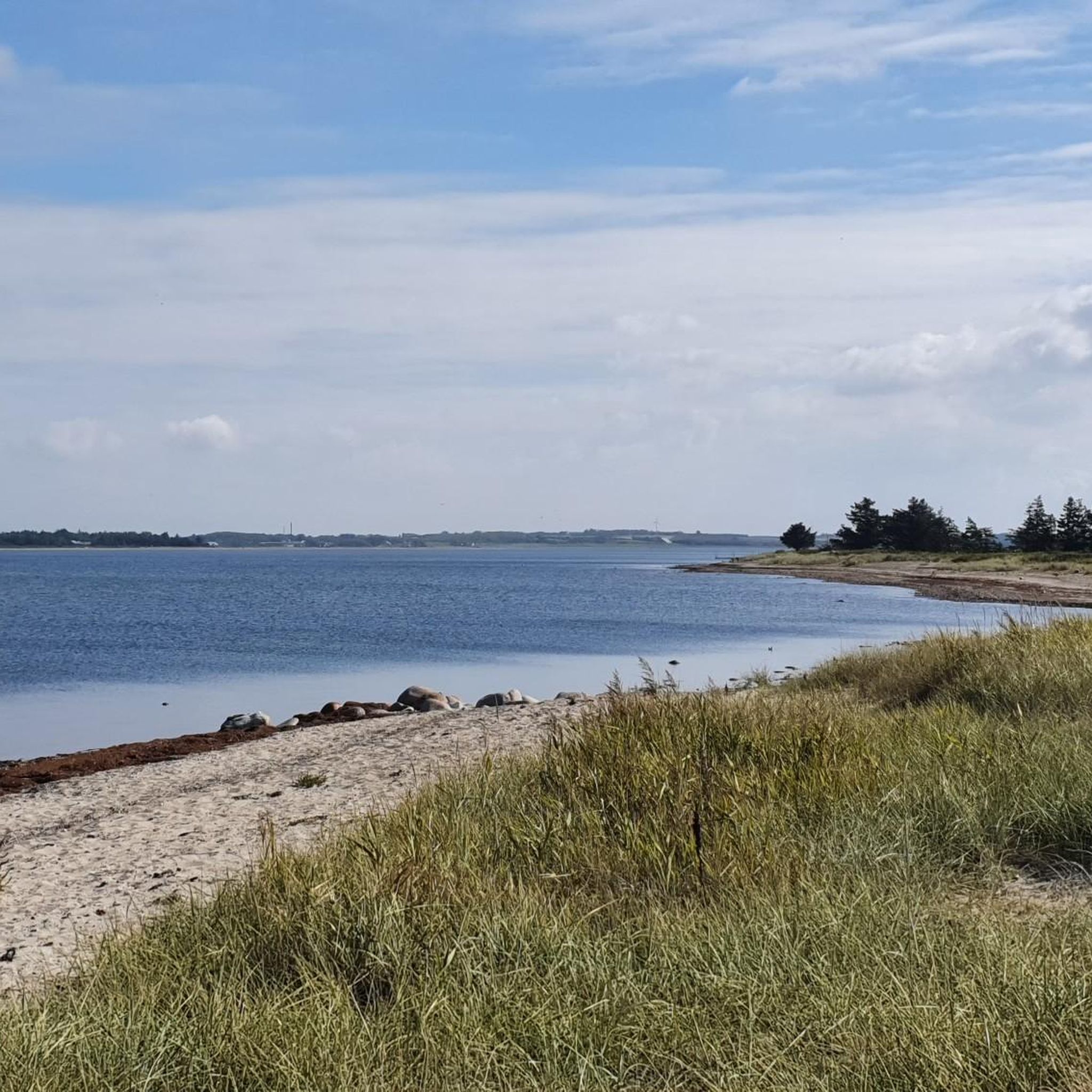
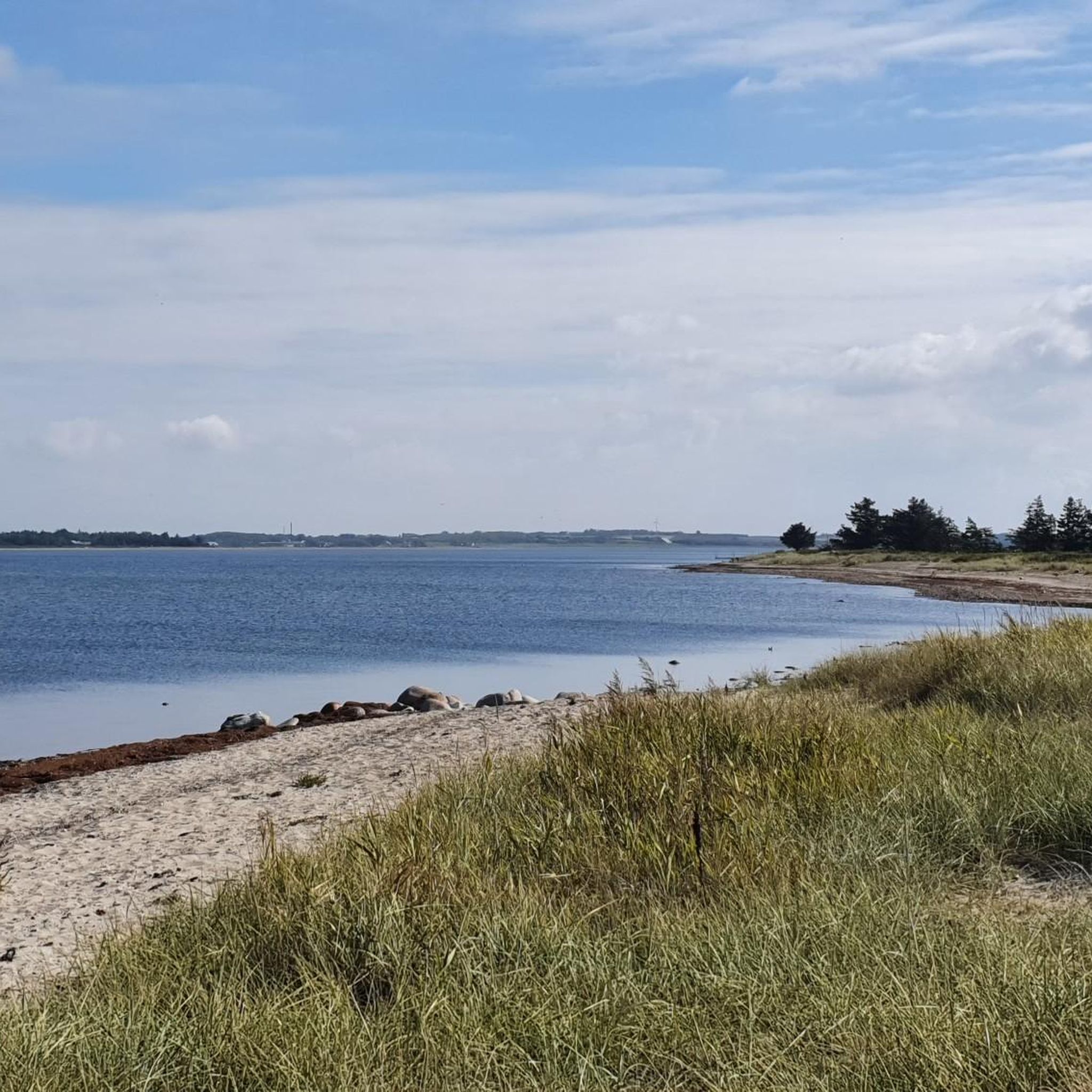
You can also hike along the steep coast. However, one should be careful not to get too close to the edge. But great and spectacular views can be seen here.
0
0
Our path leads through a small wetland along a reed-lined creek. In late summer we found many small common toads here.
0
0
A small ring-shaped rampart with its own magic! If there are no trolls living here...
0
0
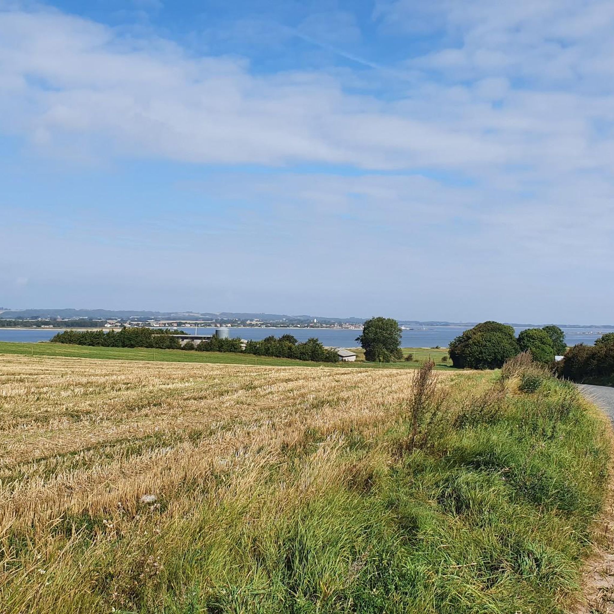
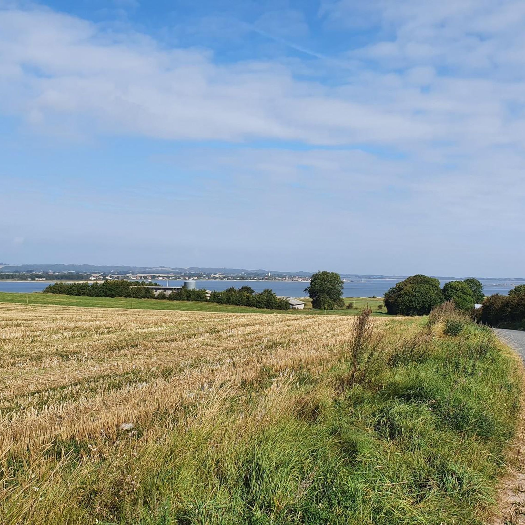
From the parking lot you can climb the burial mound in a few meters and enjoy the view of the landscape all the way to the Limfjord.
0
0

I can't find any pictures of "Northern Lights" here either.
1
1
Frequently Asked Questions
How many hiking trails are available around Grynderup Sø?
There are over 80 hiking trails around Grynderup Sø, offering a variety of options for exploring the region's coastal paths, cliffs, and lake views.
Are there many easy hiking options in Grynderup Sø?
Yes, Grynderup Sø is very beginner-friendly, with over 50 easy hiking routes. Many of these trails follow coastal paths and offer gentle terrain suitable for all skill levels.
What kind of scenery can I expect on hikes around Grynderup Sø?
The hiking trails around Grynderup Sø are characterized by coastal paths, dramatic cliffs, and expansive views of the North Sea. You'll also find routes that explore areas near the lake, providing a diverse natural setting.
Are there any circular walks around Grynderup Sø?
Many of the routes in the Grynderup Sø area are circular. For example, the Knudklint – Coastal Path Near the Cliffs loop from Nederby is a popular 3.6-mile (5.9 km) option that offers views of the cliffs.
What do other hikers enjoy most about the trails in Grynderup Sø?
The trails in Grynderup Sø are highly rated by the komoot community, with an average score of 4.6 stars. Hikers frequently praise the scenic coastal views, the varied terrain, and the well-maintained paths that make for an enjoyable outdoor experience.
Are there any family-friendly hikes in the Grynderup Sø region?
Yes, the region offers many easy routes suitable for families. Trails like the Knudklint – View of the Beach loop from Fur Bryghus are shorter and less challenging, perfect for a family outing to enjoy the coastal scenery.
Can I bring my dog on the hiking trails around Grynderup Sø?
Generally, dogs are welcome on many trails in Denmark, but it's always best to keep them on a leash, especially in nature reserves or areas with livestock. Check local signage for specific rules on individual paths around Grynderup Sø.
What are some notable viewpoints or landmarks along the trails?
The area is known for its coastal features. Knudklint is a prominent landmark, offering impressive cliff views. Routes like the View of the Beach – Knudklint loop from Fur Bryghus provide excellent perspectives of the beach and the Knudklint area.
Are there any challenging hikes for experienced hikers?
While the majority of trails are easy, there are a few more challenging options available. The region features 4 difficult routes, which may include steeper sections or longer distances, offering a greater test for experienced hikers.
Is there public transport access to the hiking areas around Grynderup Sø?
Public transport options to specific trailheads might be limited in this natural area. It's advisable to check local bus schedules for connections to nearby towns like Nederby or Fur, from where some trails originate. Planning your journey in advance is recommended.
Where can I find parking for the hiking trails?
Parking is typically available near popular trailheads and points of interest, such as in Nederby or near Fur Bryghus, which serve as starting points for several routes. Look for designated parking areas when planning your hike.
What is the best time of year to hike around Grynderup Sø?
The spring and summer months (April to September) generally offer the most pleasant weather for hiking around Grynderup Sø, with milder temperatures and longer daylight hours. However, the coastal landscape can be enjoyed year-round, with each season offering a unique experience.
Are there cafes or places to eat near the hiking trails?
While the immediate trail areas are natural, you can find cafes and eateries in nearby towns. Fur Bryghus, for instance, is a known establishment on Fur island and serves as a starting point for some routes, offering refreshments after your hike.
Most popular routes around Grynderup Sø

Get inspired with the komoot mobile app


Explore more
Browse the best Hikes in other regions.
