The best walks and hikes around Dam Hracholusky
4.7
(65)
293
hikers
22
hikes
Hiking around Dam Hracholusky features a landscape shaped by the Hracholusky Reservoir on the Mže River, located west of Pilsen. The area is characterized by a rocky valley, steep slopes, and rocky peaks, complemented by spruce and pine forests. The reservoir itself spans 22 kilometers, influencing the diverse recreational opportunities available. This region offers varied terrain for hikers, from riverside paths to elevated viewpoints.
Best hiking trails around Dam Hracholusky
- The most popular hiking route is View of the dam – Ruins of Buben Castle loop from Újezd nade Mží, a 4.8 miles (7.7 km) trail that takes 2 hours 5 minutes to complete, offering views of the reservoir and historical ruins.
- Another top favourite among local hikers is Scenic section along the Míza River – Stadtbach Gorge loop from Vranov u Stříbra, a moderate 11.2 miles (18.0 km) path exploring river sections and a scenic gorge.
- Local hikers also love the Ruins of Buben Castle – View of the dam loop from Újezd nade Mží, a 3.4 miles (5.5 km) trail leading through forested areas and past historical sites, often completed in about 1 hour 32 minutes.
- Hiking around Dam Hracholusky is defined by the reservoir's rocky valley, surrounding forests, and historical landmarks like the Pňovany Railway Bridge and Buben Castle ruins. The network offers options for easy, moderate, and challenging ability levels.
- The routes in Dam Hracholusky are highly rated by the komoot community with an average score of 4.7 stars from more than 60 reviews. More than 260 hikers have used komoot to explore Dam Hracholusky's varied terrain.
Last updated: July 10, 2026
4.3
(10)
30
hikers
7.72km
02:05
100m
100m
Moderate hike. Good fitness required. Easily-accessible paths. Suitable for all skill levels.
5.0
(4)
28
hikers
Moderate hike. Good fitness required. Easily-accessible paths. Suitable for all skill levels.

Sign up for free
5.0
(2)
14
hikers
5.53km
01:33
110m
110m
Easy hike. Great for any fitness level. Easily-accessible paths. Suitable for all skill levels.
6
hikers
Moderate hike. Good fitness required. Easily-accessible paths. Suitable for all skill levels.
2
hikers
6.87km
01:58
170m
170m
Easy hike. Great for any fitness level. Easily-accessible paths. Suitable for all skill levels.
Get access to more routes and recommendations from other explorers.
Sign up for free
Already have an account?
Our route recommendations are based on thousands of hikes, rides, and runs completed by other people on komoot.
Start today with a free account
Your next adventure awaits.
Login or Signup
Tips from the Community

Impressive railway bridge over the Mize
1
0
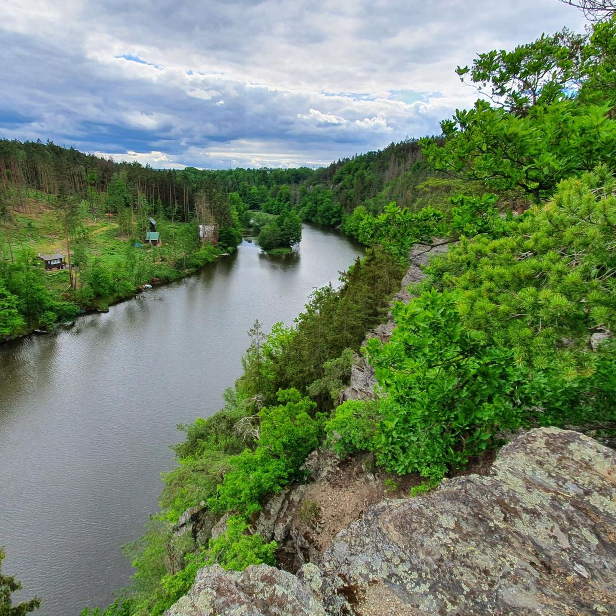
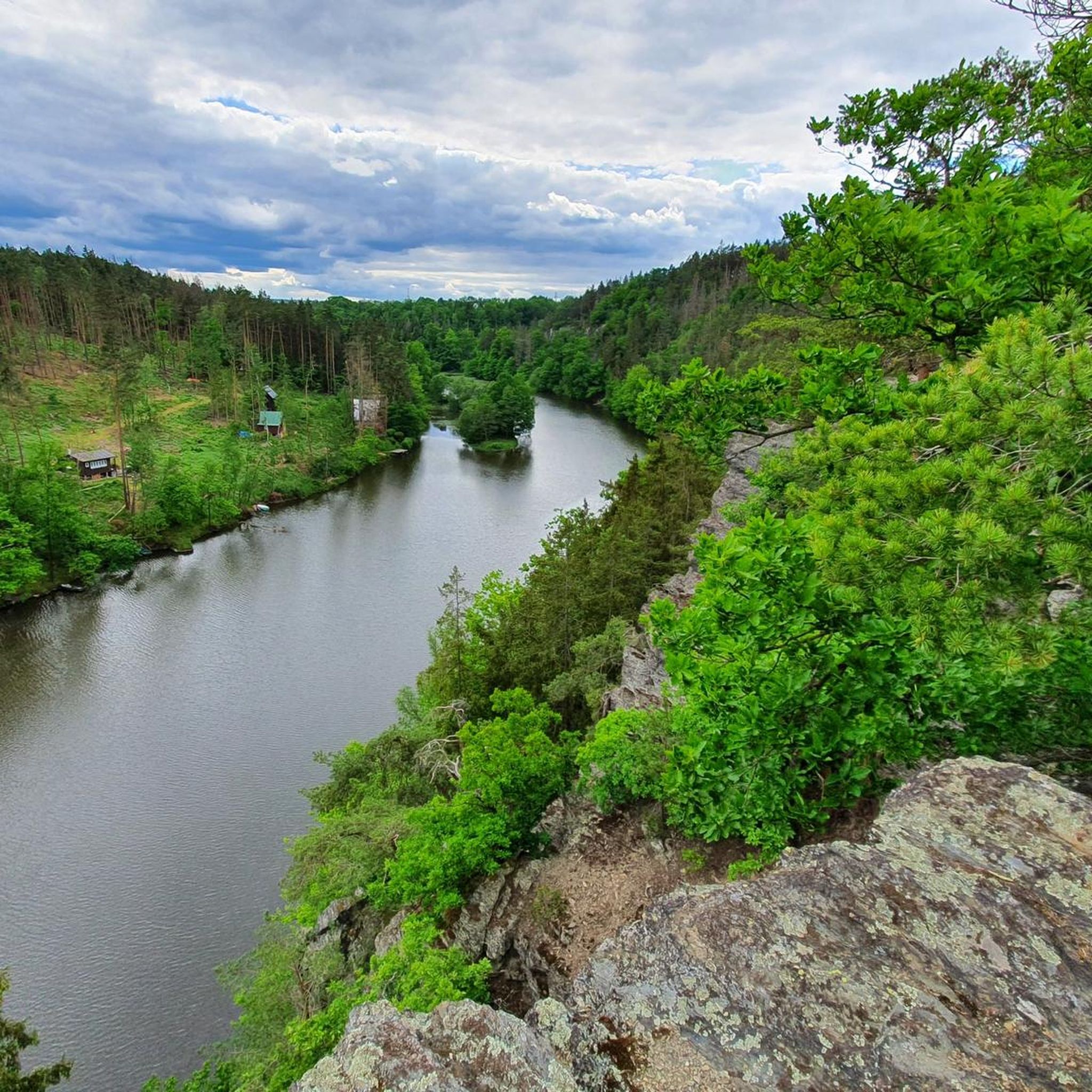
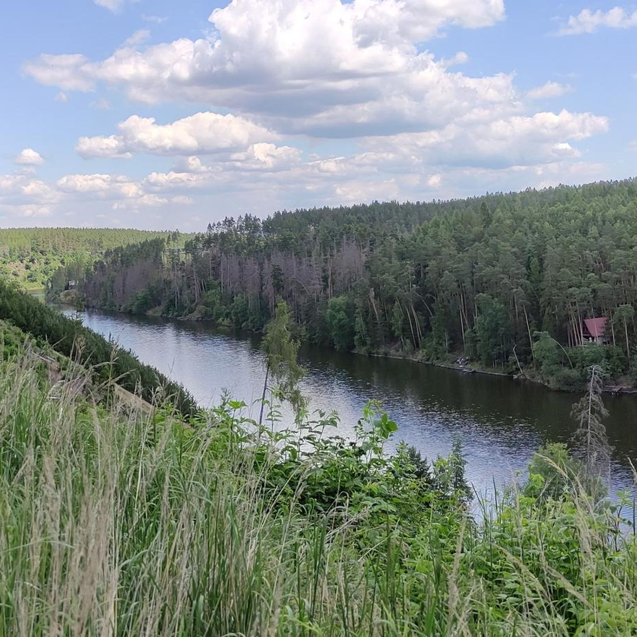
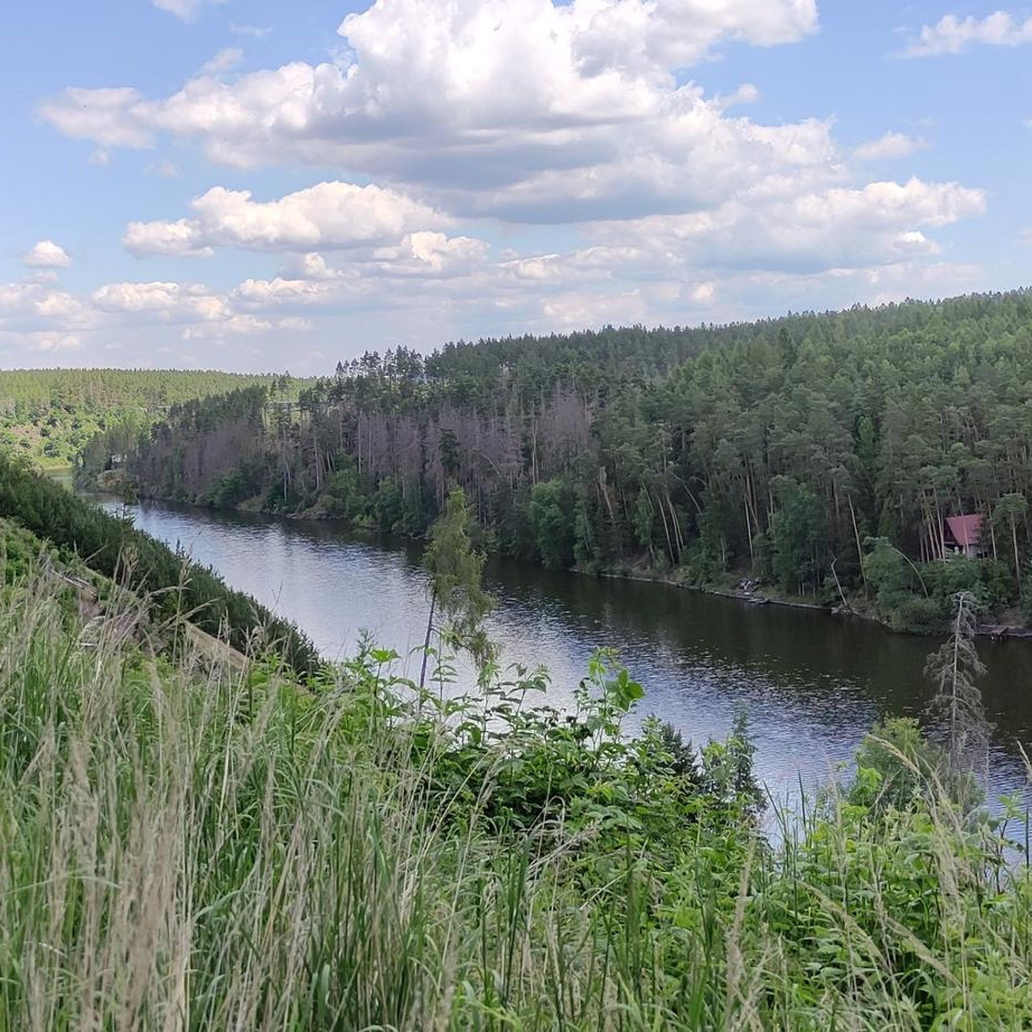
Beautiful lake and river landscape
0
0
One of the many bunkers in the region. The information panels are only in Czech.
1
0
Small bridge on the branch of the Mize
1
0
Very beautiful high-altitude trail above the Mize with some challenging sections.
1
0
Unfortunately, the viewpoint is somewhat overgrown
1
0
Frequently Asked Questions
How many hiking trails are available around Dam Hracholusky?
There are over 20 hiking trails around Dam Hracholusky, offering a variety of experiences. You'll find options ranging from easy strolls to more challenging routes, with 10 easy, 9 moderate, and 3 difficult trails to explore.
What kind of terrain can I expect on hikes around Dam Hracholusky?
The terrain around Dam Hracholusky is quite varied, characterized by a rocky valley, steep slopes, and rocky peaks, especially where the Mže River flows into the reservoir. You'll also encounter spruce and pine forests, as well as paths along the reservoir's 22-kilometer span. Some sections feature a rocky bottom, reflecting the area's original river valley character.
Are there any family-friendly hiking options near Dam Hracholusky?
Yes, Dam Hracholusky offers several easy trails suitable for families. For instance, the Ruins of Buben Castle – View of the dam loop from Újezd nade Mží is an easy 3.4-mile (5.5 km) trail that leads through forested areas and past historical sites, making it a great option for a family outing.
What are some notable landmarks or viewpoints to see while hiking?
Hikers can discover several interesting landmarks and viewpoints. The impressive Pňovany Railway Bridge, 44 meters tall, offers unique views of the reservoir from its footbridge. You can also explore the ruins of Buben Castle, dating back before 1379, nestled in beautiful natural surroundings. For scenic vistas, look for viewpoints like the View of Hracholusky Dam from Bikepath 37.
Are there any circular hiking routes available?
Yes, many trails around Dam Hracholusky are designed as loops. A popular moderate option is the View of the dam – Ruins of Buben Castle loop from Újezd nade Mží, which is 4.8 miles (7.7 km) and offers both reservoir views and historical ruins. Another is the View of the Lake loop from Sulislav, an easy 6.8 km route.
What do other hikers enjoy most about the trails around Dam Hracholusky?
The area is highly rated by the komoot community, with an average score of 4.7 stars from over 60 reviews. Hikers often praise the diverse landscape, combining the tranquil reservoir with rocky valleys and historical sites. The variety of trails, from riverside paths to elevated viewpoints, is also frequently highlighted.
Can I reach the hiking trails by public transport?
While specific public transport details for every trailhead are not provided, the region is accessible. The town of Stříbro, with its historic center, is located along the Mže River, and some areas near the dam, like the Vranov stop, have boarding piers, suggesting some level of public access. For detailed public transport options to specific trailheads, it's advisable to check local transport schedules.
Are there any challenging hikes for experienced hikers?
Yes, for those seeking more challenging experiences, there are 3 difficult trails around Dam Hracholusky. These routes typically feature greater elevation changes and more rugged terrain, providing a good workout for experienced hikers.
What is the best time of year to hike around Dam Hracholusky?
Dam Hracholusky is a compelling destination year-round. The spring and autumn offer pleasant temperatures and beautiful scenery, while summer allows for combining hiking with water-based activities on the reservoir. Even in winter, the landscape can be picturesque, though some paths might require appropriate gear.
Are there any military bunkers to explore in the area?
Yes, the vicinity of Dam Hracholusky, particularly near the town of Stříbro, features military bunkers from the first half of the 20th century. Some are even located close to the water level of the dam, with one bunker accessible near the Vranov stop's boarding pier, offering a unique historical point of interest for hikers.
Where can I find more information about the Dam Hracholusky region?
For additional information about the Dam Hracholusky area and its attractions, you can visit external tourism resources. For example, Visit Pilsen provides details on the reservoir, and Tourismato.cz also offers regional insights.
Are there any long-distance hiking options that explore both the river and gorge areas?
Yes, for a longer and scenic experience, consider the Scenic section along the Míza River – Stadtbach Gorge loop from Vranov u Stříbra. This moderate 11.2-mile (18.0 km) path allows you to explore extensive river sections and the picturesque Stadtbach Gorge.
Most popular routes around Dam Hracholusky
Most popular attractions around Dam Hracholusky

Get inspired with the komoot mobile app


Explore more
Browse the best Hikes in other regions.
