The best running trails around Dam Nýrsko
3.6
(10)
132
runners
14
runs
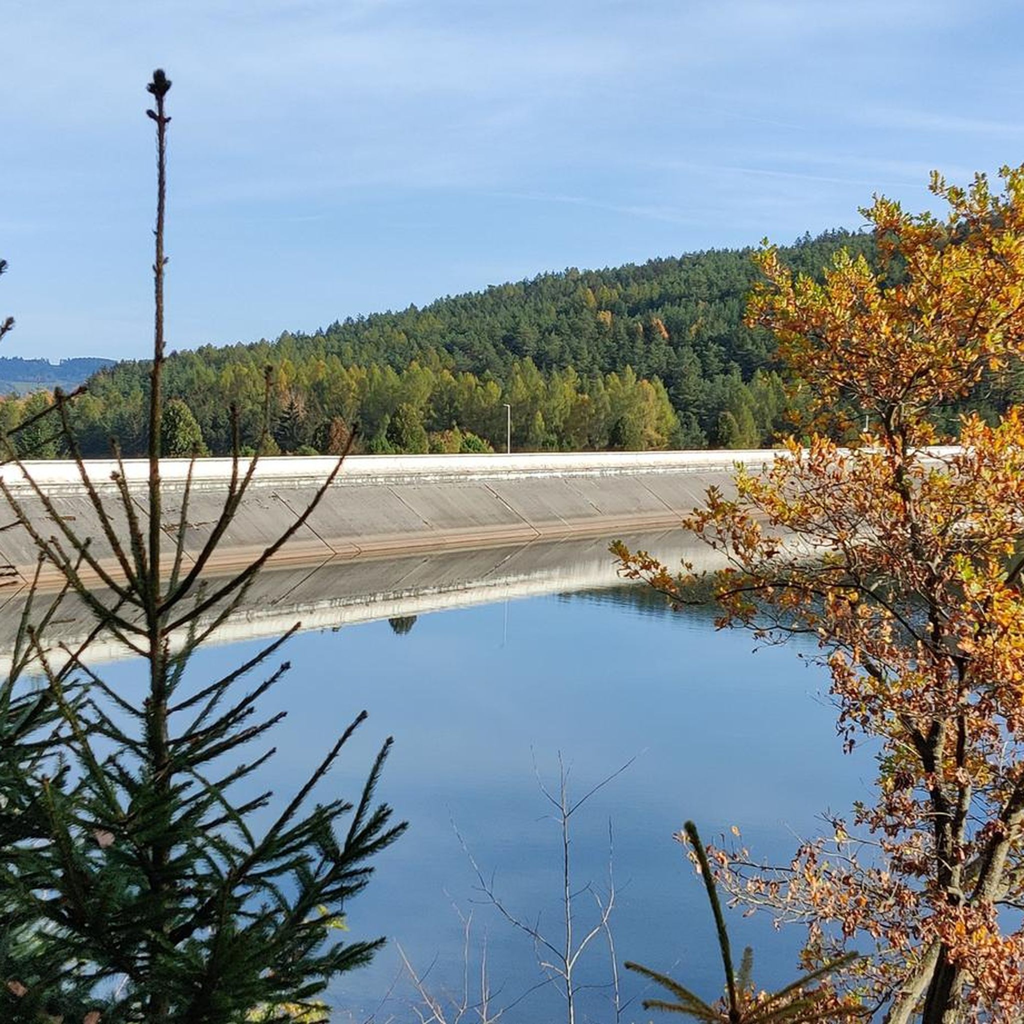
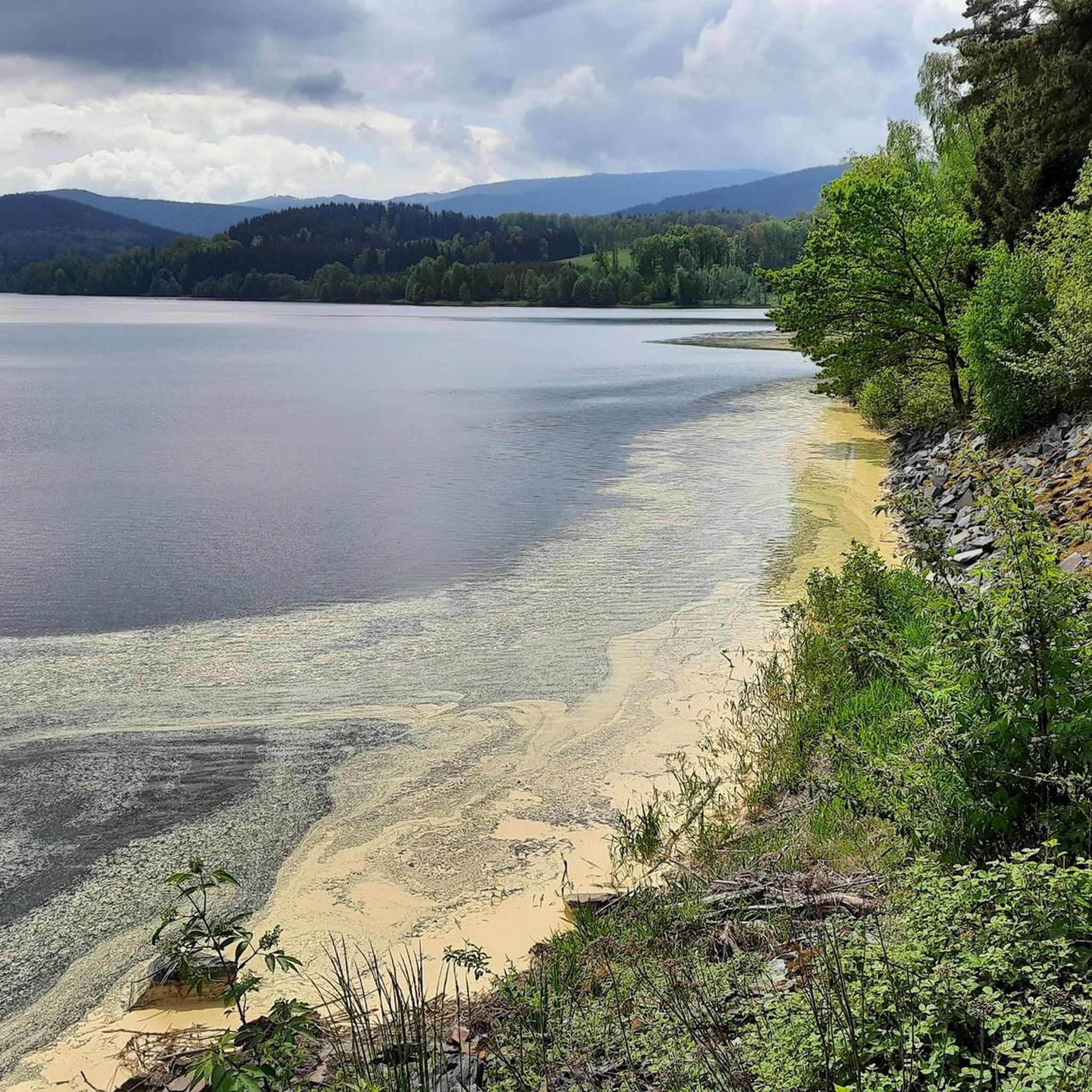
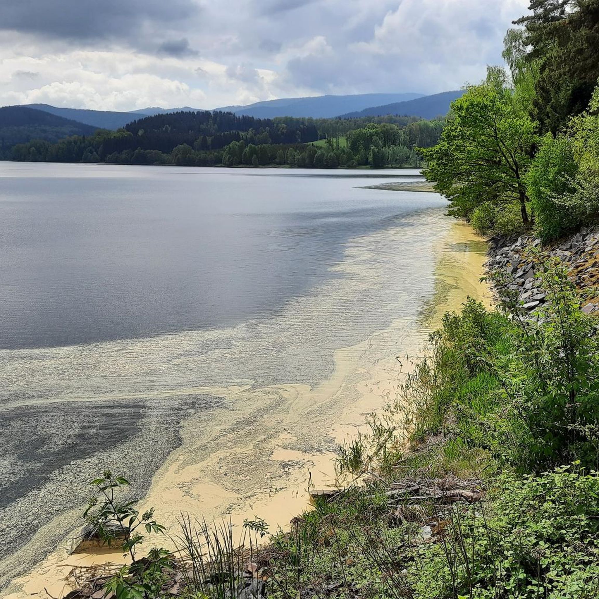
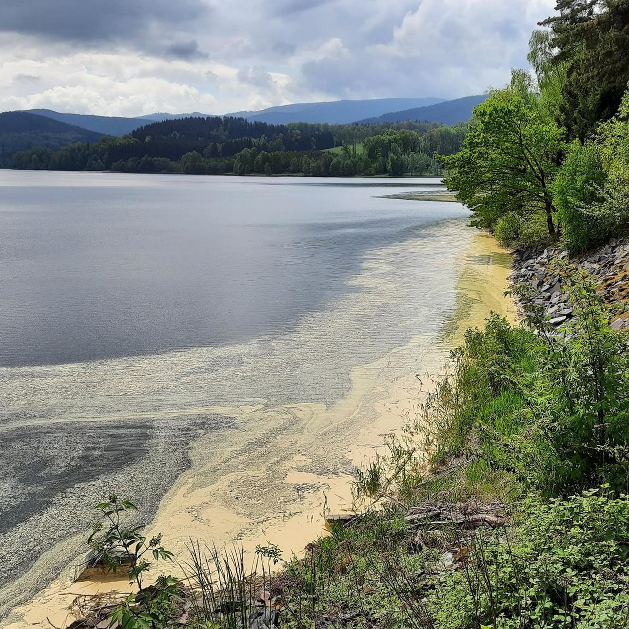
Jogging around Dam Nýrsko offers routes through varied terrain, characterized by the reservoir itself, surrounding hills, and dense woodlands. The region features elevated paths leading to viewpoints and open meadows, providing a mix of natural landscapes for runners. Many trails traverse parts of the Naturpark Oberer Bayerischer Wald, offering a natural setting for outdoor activity.
Best jogging routes around Dam Nýrsko
- The most popular jogging route is Great Osser – Osserwiese loop from Sattel, a 3.2 miles (5.2 km) trail that takes 50 minutes to complete. This route features ascents through forested areas and open Osserwiese meadows.
- Another top favourite among local runners is Huberriegel Summit Cross – Osserpfad at Großer Osser loop from Lohberg, a difficult 5.4 miles (8.6 km) path. This trail includes significant elevation gain, leading to summit crosses and offering expansive views.
- Local runners also love the Mausplatten Bangerl Viewpoint – Rotes Kreuz (Red Cross) at Friedrichsplatz, Naturpark Oberer Bayerischer Wald loop from Wanderparkplatz- Lambach, a 7.1 miles (11.5 km) trail leading through the Naturpark Oberer Bayerischer Wald, often completed in about 1 hour 26 minutes.
- Jogging around Dam Nýrsko is defined by reservoir-side paths, forested hills, and scenic viewpoints, with options ranging from moderate to difficult. The network offers routes for various ability levels, including challenging trails with significant elevation changes.
- The routes in Dam Nýrsko are highly rated by the komoot community with an average score of 3.6 stars from more than 10 reviews. More than 150 runners have used komoot to explore Dam Nýrsko's varied terrain.
Last updated: May 25, 2026
6
runners
8.64km
01:24
450m
450m
Hard run. Very good fitness required. Sure-footedness, sturdy shoes and alpine experience required.
4.0
(2)
6
runners
Hard run. Very good fitness required. Mostly paved surfaces. Suitable for all skill levels.

Sign up for free
3.0
(1)
4
runners
7.45km
00:56
240m
240m
Moderate run. Good fitness required. Mostly paved surfaces. Suitable for all skill levels.
8
runners
10.0km
01:33
550m
550m
Hard run. Very good fitness required. Sure-footedness, sturdy shoes and alpine experience required.
5
runners
4.54km
00:35
160m
160m
Moderate run. Good fitness required. Mostly paved surfaces. Suitable for all skill levels.
Get access to more routes and recommendations from other explorers.
Sign up for free
Already have an account?
Our route recommendations are based on thousands of hikes, rides, and runs completed by other people on komoot.
Start today with a free account
Your next adventure awaits.
Login or Signup

Tips from the Community

Last Friday, I climbed from Absetz to Tanneneck, and had a late breakfast there all alone. A magnificent view in glorious weather, with a view of my destination: the two Osser peaks.
0
0

From the intersection with the red cross, continue along a narrow path along NK25 for 500m. Then, 50m to the left, look for the Mausplattn Bangerlsuchen (Bangerl search), which unfortunately isn't signposted. From there, you have a beautiful view from the Osser, across the Arber, to Eck.
0
0


Mausplattn Bangerl with great view
0
0

The trail can only be accessed with sturdy footwear, but the panoramic views of the valley are fantastic. It is possible to take a detour to the small Osser.
0
0

Wonderful path along the German-Czech border.. it is worth to walk this path completely between Zwercheck and Osser
1
0

The views from the Osserwiese are very beautiful.
0
0

Just enjoy that's all
1
0
Frequently Asked Questions
What kind of terrain can I expect on the running trails around Dam Nýrsko?
The running trails around Dam Nýrsko feature varied terrain, including paths alongside the reservoir, through surrounding hills, and dense woodlands. You'll find elevated sections leading to scenic viewpoints and open meadows, particularly within the Naturpark Oberer Bayerischer Wald.
How many running routes are available in the Dam Nýrsko area?
There are 15 distinct running routes available around Dam Nýrsko, offering a range of experiences from moderate to difficult. These trails have been explored by over 150 runners using komoot.
Are there any easy or moderate jogging routes for less experienced runners?
While many routes in the Dam Nýrsko area are considered difficult due to elevation changes, there are 7 moderate options available. An example is the Running loop from Wanderparkplatz- Lambach, which covers 7.4 km with a moderate elevation gain.
Are the running trails around Dam Nýrsko suitable for families?
The trails around Dam Nýrsko often involve significant elevation gain and are generally rated moderate to difficult. While some families with older, experienced children might enjoy the challenge, those with very young children or strollers may find the terrain demanding.
Can I bring my dog on the running trails near Dam Nýrsko?
Many trails in the Naturpark Oberer Bayerischer Wald, which encompasses parts of Dam Nýrsko, are generally dog-friendly. However, it's always recommended to keep dogs on a leash, especially in nature protection areas, and to check specific trail regulations before you go.
Are there circular running routes available around Dam Nýrsko?
Yes, many of the running routes in the area are designed as loops. For instance, the Mausplatten Bangerl Viewpoint – Rotes Kreuz (Red Cross) at Friedrichsplatz, Naturpark Oberer Bayerischer Wald loop from Wanderparkplatz- Lambach is a popular 11.5 km circular trail.
Where can I find parking for the running trails around Dam Nýrsko?
Several routes start from designated parking areas. For example, the Running loop from Wanderparkplatz- Lambach begins directly from a car park, making access convenient.
What are the best times of year to go jogging around Dam Nýrsko?
Spring, summer, and autumn generally offer the most pleasant conditions for jogging around Dam Nýrsko, with lush greenery and comfortable temperatures. Autumn provides particularly scenic views with changing foliage. Winter running is possible but requires appropriate gear due to potential snow and ice, especially on higher elevations.
Are there any scenic viewpoints along the running routes?
Absolutely. The region is known for its elevated paths and viewpoints. Trails like the Huberriegel Summit Cross – Osserpfad at Großer Osser loop from Lohberg lead to summit crosses, offering expansive views of the surrounding landscape.
What do other runners say about the trails in Dam Nýrsko?
The running routes in Dam Nýrsko are highly rated by the komoot community, with an average score of 3.6 stars from over 10 reviews. Runners often praise the varied natural landscapes, the challenging ascents, and the rewarding views from higher elevations.
What is the typical duration for a running route in this area?
The duration varies significantly depending on the route's length and difficulty. For example, the Great Osser – Osserwiese loop from Sattel, which is 5.2 km, typically takes about 50 minutes, while longer, more challenging routes can take over 1.5 hours.
Are there any cafes or refreshment stops near the jogging routes?
While the trails themselves are primarily natural, the towns and villages surrounding Dam Nýrsko, such as Lohberg or Lambach, offer options for cafes and refreshments. It's advisable to plan your route to pass through or near these settlements if you require a stop.
Most popular routes around Dam Nýrsko

Get inspired with the komoot mobile app


Explore more
Browse the best Running Trails & Routes in other regions.
