The best cycling routes around Rural Municipality of Springfield
4.8
(55)
442
riders
46
rides
Touring cycling routes around Rural Municipality of Springfield, Manitoba, traverse a diverse landscape extending from Winnipeg's eastern boundary to the Agassiz Provincial Forest. The region features a mosaic of urban, rural residential, agricultural, and natural environments. Notable natural features include Birds Hill Provincial Park, which offers dedicated bike trails, and the extensive Agassiz Provincial Forest. This varied terrain provides numerous opportunities for outdoor cycling adventures.
Best touring cycling routes around Rural Municipality of Springfield
- The most popular touring cycling route…
Last updated: July 2, 2026
5.0
(2)
27
riders
5.84km
00:20
20m
20m
Easy bike ride. Great for any fitness level. Mostly paved surfaces. Suitable for all skill levels.
5.0
(4)
22
riders
Easy bike ride. Great for any fitness level. Mostly paved surfaces. Suitable for all skill levels.

Sign up for free
3.0
(1)
13
riders
32.1km
01:54
70m
70m
Easy bike ride. Great for any fitness level. Mostly paved surfaces. Suitable for all skill levels.
5.0
(3)
16
riders
Easy bike ride. Great for any fitness level. Mostly paved surfaces. Suitable for all skill levels.
5.0
(1)
10
riders
12.2km
00:43
30m
30m
Easy bike ride. Great for any fitness level. Mostly paved surfaces. Suitable for all skill levels.
Get access to more routes and recommendations from other explorers.
Sign up for free
Already have an account?
Our route recommendations are based on thousands of hikes, rides, and runs completed by other people on komoot.
Start today with a free account
Your next adventure awaits.
Login or Signup
Tips from the Community

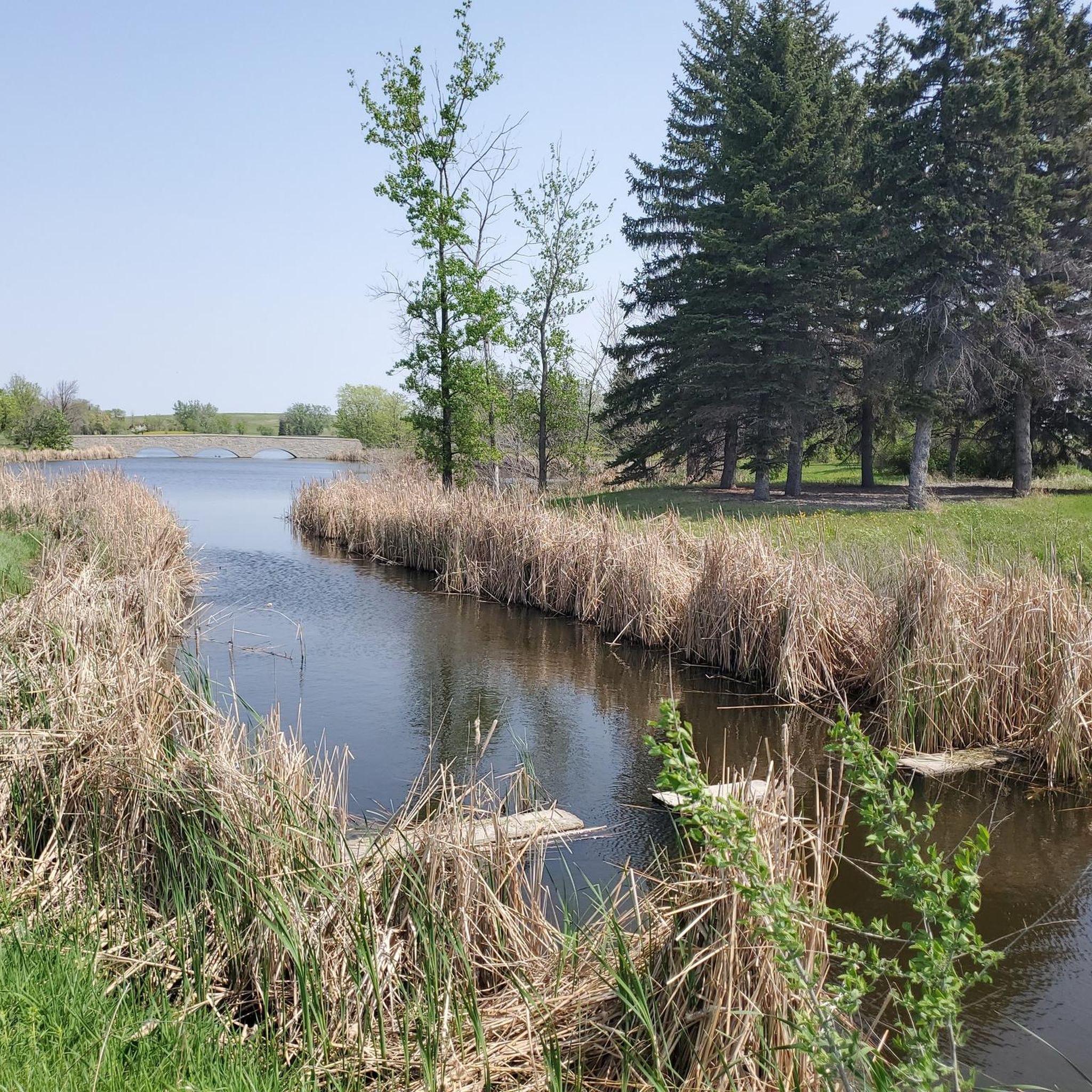
There are a few nice paved trails to explore in the park, and the north side has some fairy houses and a cenotaph (empty burial memorial) to veterans of the first world war. You cross the creek via a pretty pedestrian bridge as it winds into the Assiniboine River.
0
0

Omand Park is situated where Omand Creek flows into the north side of the Assiniboine River. The park has two baseball diamonds, trails that head in all directions, and access to a pedestrian bridge that crosses the river to Wellington Crescent.
0
0
This small park sits at the foot of Winnipeg's historic Maryland Bridge. You'll have access to the Assiniboine River as well as open grassy areas, and the pedestrian & cycle crossings that run along the bridge.
0
0

The Forks is the heart of Winnipeg. Frequented by Indigenous peoples thousands of years ago, it is now home to a pleasant park on the banks of the Red and Assiniboine Rivers, the Canadian Museum for Human Rights, and a lively market hall with shops and restaurants.
0
0

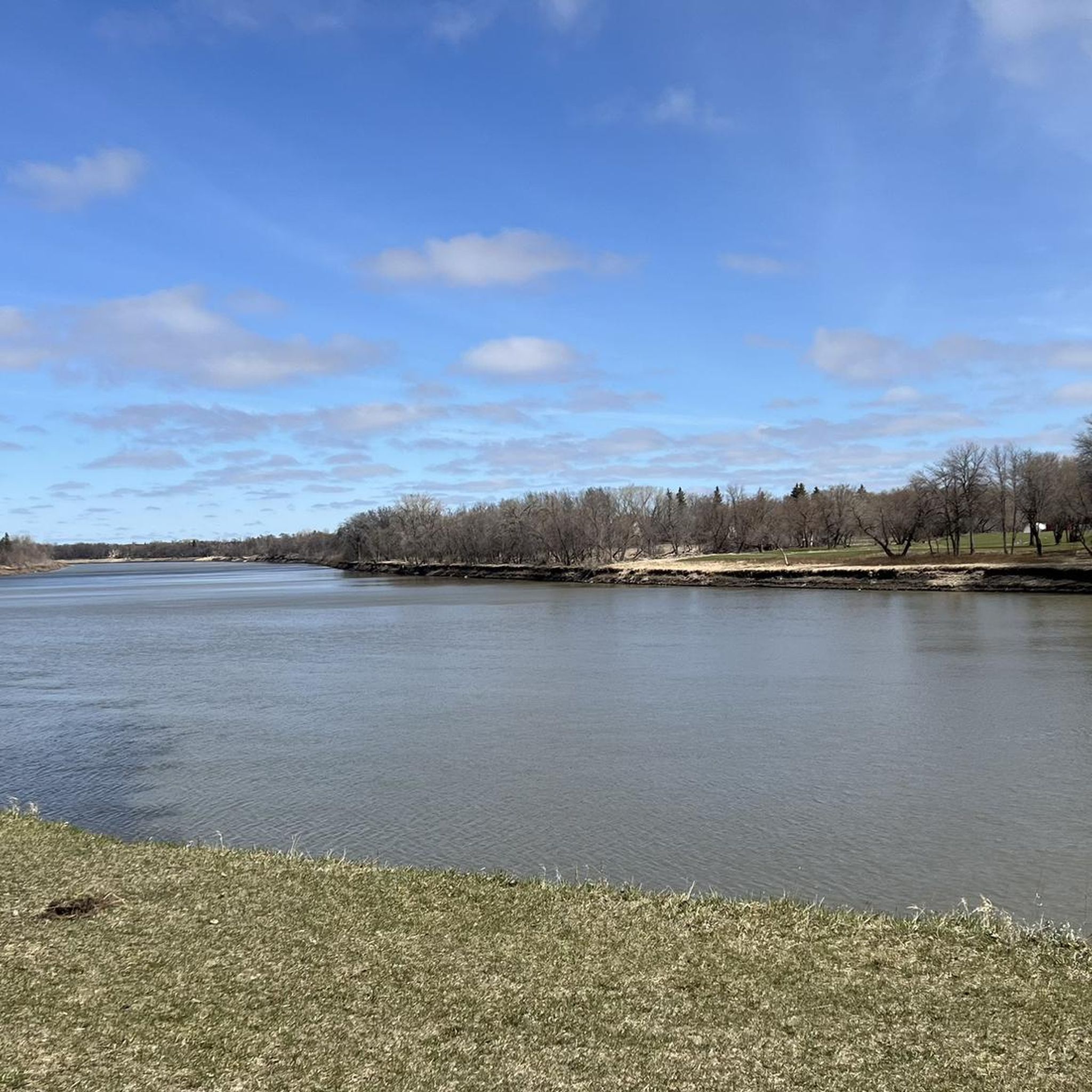
From this quiet bend in the trail, the Red River flows steadily past, lined with trees and the urban skyline. It’s a peaceful place to pause and take in the contrast between nature and city before continuing along the path.
0
0
Lagimodière-Gaboury Heritage Park sits on land that was initially granted to Jean-Baptiste Lagimodière and his wife, Marie-Anne Gaboury, pioneering settlers whose family would include Métis leader Louis Riel. The park is part of a riverside greenway along the Seine and Red Rivers, with natural trails, interpretive signage, and peaceful viewpoints over the water. It celebrates early Francophone and Métis heritage, marking the site of St. Boniface’s first settlement and its foundational role in Manitoba history.
0
0
Fort Gibraltar is a replica of the 1809 North West Company trading post that once stood near the junction of the Red and Assiniboine rivers. Rebuilt in 1978 by the Festival du Voyageur, it serves as an interpretive site that illustrates Métis culture and the fur trade era. Today, the fort hosts educational programs and cultural events and plays a central role in the annual Festival du Voyageur.
0
0
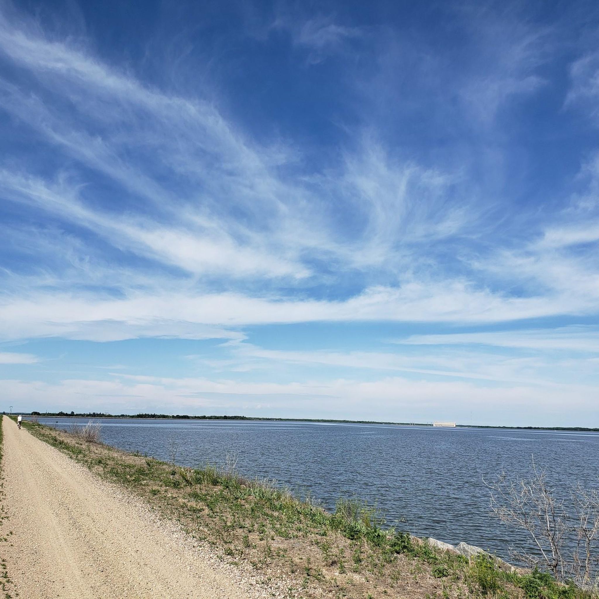
Birds Hill Provincial Park is a beautiful year-round recreation area that includes a mix of prairie, forest, and wetlands, and is home to plenty of wildlife, including deer, waterfowl, and over 200 bird species. Kingfisher Lake is at the park’s centre, surrounded by a 7.2-kilometre paved loop trail that’s a popular route for walking and cycling. While you’re here, you can explore nearly 30 kilometres of hiking trails, including the Chickadee Trail to Griffiths Hill, the highest point in the park. There is a day-use picnic area, campground, and plenty of other amenities, making this the perfect place to spend the day or a weekend enjoying the outdoors.
0
0
Frequently Asked Questions
How many touring cycling routes are there in Rural Municipality of Springfield?
There are over 50 touring cycling routes available in the Rural Municipality of Springfield, offering a wide range of options for cyclists.
What kind of terrain can I expect on touring cycling routes in Rural Municipality of Springfield?
Touring cyclists can expect a diverse landscape, including agricultural lands, rural residential areas, and natural environments. The municipality extends from Winnipeg's eastern boundary to the Agassiz Provincial Forest, offering a mix of scenery. You'll find dedicated bike trails, especially within areas like Birds Hill Provincial Park.
What are the difficulty levels of touring cycling routes in Rural Municipality of Springfield?
The routes in Rural Municipality of Springfield primarily cater to easy and moderate ability levels. Out of over 50 routes, 36 are classified as easy and 14 as moderate, making it accessible for a wide range of cyclists.
Are there family-friendly touring cycling routes in Rural Municipality of Springfield?
Yes, many routes are suitable for families, particularly those within Birds Hill Provincial Park, which is recognized as an excellent area for bicycling with dedicated bike trails. An easy option is the Birds Hill Provincial Park loop from Birds Hill Campground, which is 12.2 km long and takes about 45 minutes.
What natural features or landmarks can I see along the touring cycling routes?
You can explore various natural features and landmarks. Birds Hill Provincial Park is a significant draw, offering opportunities to see areas like Birds Hill Quarry Lake. The municipality itself is known for its natural springs and diverse landscapes, including the Agassiz Provincial Forest. Other nearby attractions include The Forks National Historic Site and the Esplanade Riel Footbridge.
Are there circular touring cycling routes available?
Yes, many touring cycling routes in the Rural Municipality of Springfield are designed as loops, allowing you to start and end at the same point. For example, the Bois-des-Esprits Park – Bois-des-Esprits Trail loop from Royalwood is an easy 24.7 km route.
When is the best time of year to go touring cycling in Rural Municipality of Springfield?
The diverse landscapes of the Rural Municipality of Springfield are enjoyable across multiple seasons. Spring and fall offer pleasant temperatures and beautiful scenery, while summer is ideal for longer rides. Given the region's natural features, each season provides a unique cycling experience.
What do other touring cyclists enjoy the most about touring cycling in Rural Municipality of Springfield?
The touring cycling routes in Rural Municipality of Springfield are highly rated by the komoot community, with an average score of 4.8 stars from over 50 reviews. Cyclists often praise the varied urban, rural, and natural scenery, as well as the accessibility of dedicated bike trails, especially within Birds Hill Provincial Park.
Which touring cycling routes are suitable for beginners or those looking for an easy ride?
For beginners or those seeking an easy ride, there are many options. The Bur Oak Trail loop from West Pine Ridge is a short 5.8 km route that takes about 20 minutes. Another easy option is the Manitoba Railway Museum – Disraeli Bridge Bike Path loop from Elmwood, which is 20.9 miles (33.6 km) and guides cyclists through varied urban and natural scenery.
Are there any longer touring cycling routes for extended rides?
Yes, for cyclists looking for longer rides, routes like the Bicycle Bridge – Disraeli Bridge Bike Path loop from Elmwood offer a substantial distance of 31.7 km, typically completed in about 1 hour 50 minutes, guiding you through urban and natural environments.
Can I bring my dog on touring cycling routes in Rural Municipality of Springfield?
While specific regulations for dogs on all cycling routes can vary, Birds Hill Provincial Park, a key cycling area, generally allows dogs on leash in many areas. It's always best to check local park rules or specific trail guidelines before heading out with your pet.
Most popular routes around Rural Municipality of Springfield
Most popular attractions around Rural Municipality of Springfield

Get inspired with the komoot mobile app


Explore more
Browse the best Cycling routes in other regions.
