The best walks and hikes around lake Michal
4.6
(565)
2,237
hikers
70
hikes
Hiking around lake Michal, located in the okres Sokolov region of the Czech Republic, offers a variety of trails suitable for different activity levels. The area is characterized by its central lake, which serves as a focal point for many routes, alongside surrounding woodlands and gentle hills. Hikers can expect paths that traverse both open landscapes and more secluded forested sections, with moderate elevation changes. The region provides a mix of lakeside strolls and longer excursions into the broader Sokolov area.
Best hiking trails around lake Michal
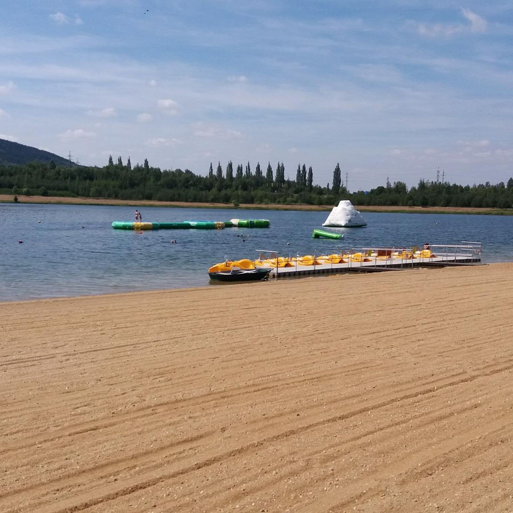
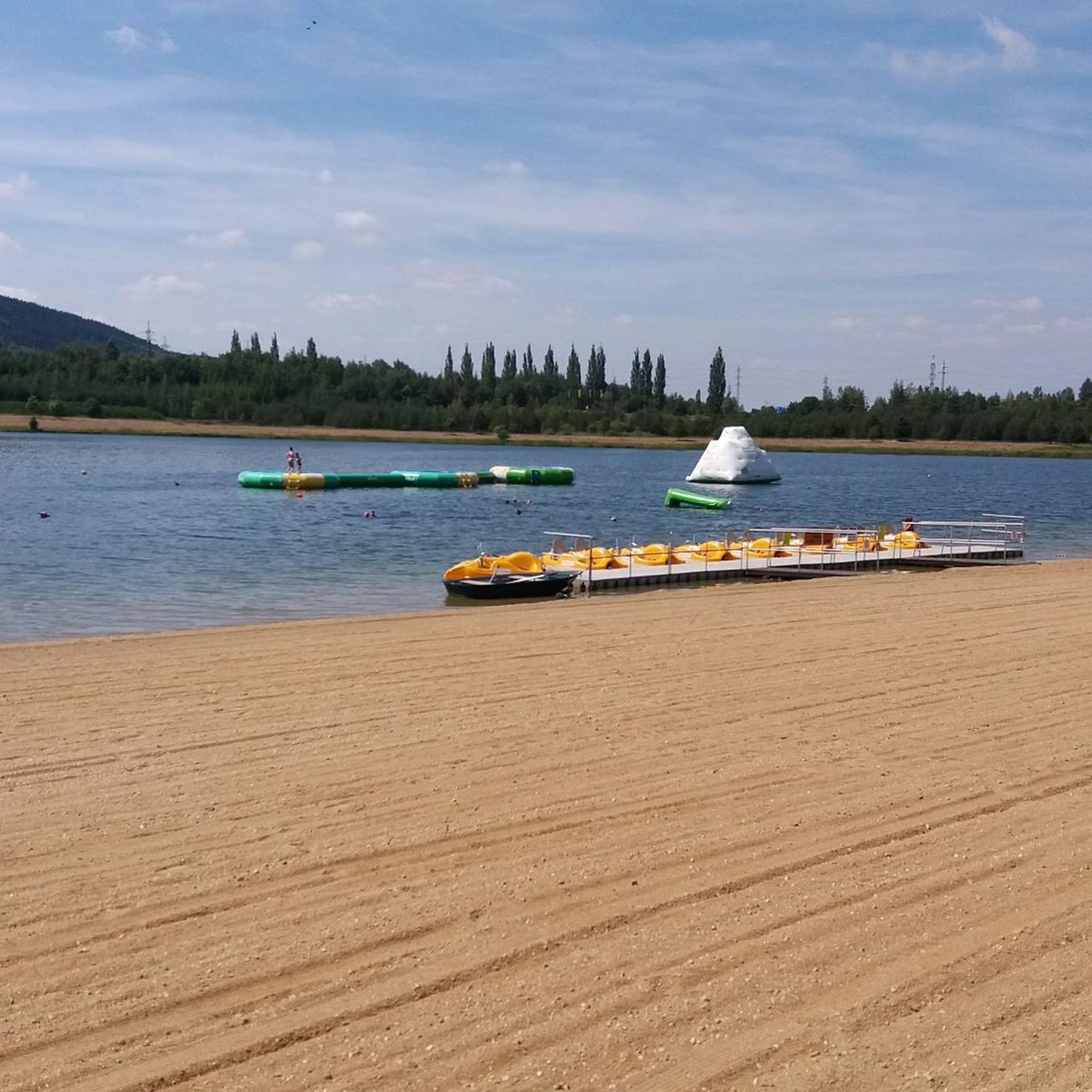
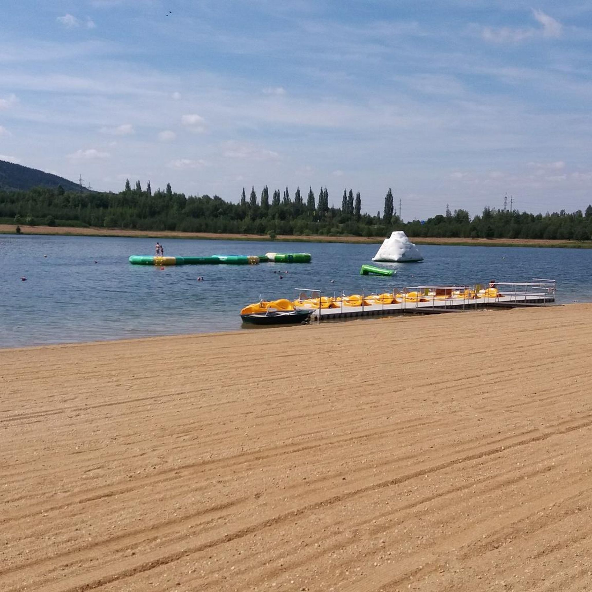
- The most popular hiking route is Michal Swimming Area loop from Těšovice, a 2.0 miles (3.3 km) trail that takes 52 minutes to complete. This easy loop offers views of the lake and is suitable for a quick walk.
- Another top favourite among local hikers is Michal Swimming Area loop from Dolní Rychnov, an easy 4.7 miles (7.5 km) path. This route provides an extended exploration of the lake's surroundings, often completed in about 2 hours.
- Local hikers also love the Statue of Founder Sebastián – Sokolov Train Station loop from Těšovice, a 3.8 miles (6.2 km) trail leading through varied local scenery, often completed in about 1 hour 36 minutes.
- Hiking around lake Michal is defined by lakeside paths, forested sections, and gentle hills, with options ranging from short, easy strolls to longer, more challenging excursions. The network offers options for different ability levels, including routes with moderate elevation gains.
- The routes in lake Michal are highly rated by the komoot community with an average score of 4.5 stars from over 490 reviews. More than 2000 hikers have used komoot to explore lake Michal's varied terrain.
Last updated: September 29, 2026
4.0
(3)
14
hikers
3.26km
00:52
30m
30m
Easy hike. Great for any fitness level. Easily-accessible paths. Suitable for all skill levels.
7
hikers
7.53km
01:59
70m
70m
Easy hike. Great for any fitness level. Easily-accessible paths. Suitable for all skill levels.

4
hikers
Easy hike. Great for any fitness level. Easily-accessible paths. Suitable for all skill levels.
3
hikers
Moderate hike. Good fitness required. Easily-accessible paths. Suitable for all skill levels.
5.0
(2)
24
hikers
7.12km
02:14
260m
260m
Moderate hike. Good fitness required. Mostly accessible paths. Sure-footedness required.
Get access to more routes and recommendations from other explorers.
Already have an account?
Our route recommendations are based on thousands of hikes, rides, and runs completed by other people on komoot.
Start today with a free account
Your next adventure awaits.
Tips from the Community

Very beautiful place in the middle of nowhere, which is very mystical or interesting due to its history. Great for a short break...
0
0

magnificent view from the tower in all directions
1
0

On the way to the St. Nikolaus church ruin, here is an opportunity for hikers to rest at a covered table-bench set.
16
0
The Dr.-Kempf-Warte (also: Kempf-Turm) was a viewing tower that existed from 1932 to 1981 on the summit of the Krudum. The initiator of the construction project was the doctor Dr. Andreas Kempf from Loket. He founded a fund and invested the initial capital. After his death in 1929, the owner of the brewery in Loket, Anton Thum, took up the idea. In 1931, he published a collection of Kempf's prose texts about the region around Krudum. He donated the proceeds from the book sale to the local heritage association „Eghalanda Gmoi z’Elbuagn“ in Loket. A public fundraising campaign raised the remaining capital for the construction of a viewing tower dedicated to Andreas Kempf. The tower was solemnly opened on Sunday, September 11, 1932. The ten-meter-high, crenellated stone tower, which resembled a castle tower, was designed by the Sokolov building contractor Adolf Marsch, who also took over the construction management. After the Second World War and the expulsion of the original population, the viewing tower was no longer maintained. In 1981, its remains were demolished. Today, a memorial plaque commemorates the former tower and Dr. Andreas Kempf. Here, in a metal box, you can also find the Krudum summit book, where visitors can sign in.
17
0
This tree shrine with a painted portrait of the Saint (Svatý obrázek sv. Václava) commemorates near one of the two summits of Krudum the Bohemian Saint Wenceslas, who in the 10th century was the head of the Bohemian tribal union around Prague. In the High Middle Ages, he became the patron saint of Bohemia. In 2000, the Czech Republic declared his death day, September 28, a national holiday.
18
0
The observation tower on the southeastern Krudum summit at 835 meters above sea level was built in 2008. The viewing platform is 29.5 meters above the ground and is reached via 152 steel steps of a narrow spiral staircase. In 2005, the Czech Telecommunications Office had put out a tender for the construction of a transmission mast. As the owner of the land, the town of Loket proposed using the mast as an observation tower at the same time. Thus, a tall, slender observation tower with a viewing platform and access staircase was created as a steel structure, offering a wide view over the West Bohemian landscape and across to the Bavarian Fichtelgebirge.
10
0
The ruins of the Church of St. Nicholas under Krudum (Sv. Mikuláš) are hidden in the Slavkovský les at the foot of Mount Krudum. This rediscovered 13th-century church stood at the crossroads of medieval paths, and iron ores and gemstones such as amethyst and jasper were mined in the surrounding area. Archaeological research has uncovered not only the foundations of the Romanesque-Gothic church but also burial sites and a variety of coins. The place is surrounded by legends about St. Nicholas, who, according to tradition, distributed gifts to children. Today, preserved remains of the church can be seen here, reminding us of the rich history and mysticism of this place.
17
0
The memorial stone commemorates the solemn oath to the Czechoslovak national flag after World War II, which was sworn here in 1947 on the founding day of the new Czechoslovak Republic under the leadership of President Edvard Beneš. The monument was erected in honor of the fallen members of the pre-war units of the National Defense Guard (SOS).
18
0
Frequently Asked Questions
How many hiking trails are available around Lake Michal?
The Lake Michal area offers a wide selection of hiking opportunities, with over 70 routes recorded on komoot. These range from easy lakeside strolls to more challenging excursions into the surrounding region.
Are there easy hiking trails suitable for beginners or casual walkers?
Yes, Lake Michal is an excellent destination for easy hikes. More than 30 routes are classified as easy, including popular options like the Michal Swimming Area loop from Těšovice, which is a gentle 2.0-mile (3.3 km) path, and the Michal Swimming Area loop from Dolní Rychnov, an easy 4.7-mile (7.5 km) route offering extended lakeside views.
Can I find circular hiking routes around Lake Michal?
Many of the trails around Lake Michal are designed as circular routes, allowing you to start and end at the same point. The Michal Swimming Area loop from Těšovice and the Michal Swimming Area loop from Dolní Rychnov are both popular loop trails that offer scenic views of the lake.
What are the typical trail lengths for hikes in the Lake Michal area?
Trail lengths vary significantly, catering to different preferences. You can find shorter walks, such as the 2.0-mile (3.3 km) Michal Swimming Area loop from Těšovice, or longer excursions like the 8.9-mile (14.4 km) New Pond – Pond Near Nové Hamry loop from Hrušková, which offers a more extended exploration of the region.
Are there any family-friendly hiking options around Lake Michal?
Yes, the area around Lake Michal is well-suited for families, especially with its numerous easy and moderate trails. The relatively gentle terrain and lakeside paths make it enjoyable for all ages. Consider the shorter loop trails around the Michal Swimming Area for a pleasant family outing.
Are dogs allowed on the hiking trails around Lake Michal?
Generally, dogs are welcome on hiking trails in the Czech Republic, especially in natural areas like Lake Michal. It's always advisable to keep your dog on a leash, particularly around the swimming area and in more populated sections, to ensure the safety and comfort of other hikers and local wildlife.
What kind of landscapes and natural features can I expect to see while hiking?
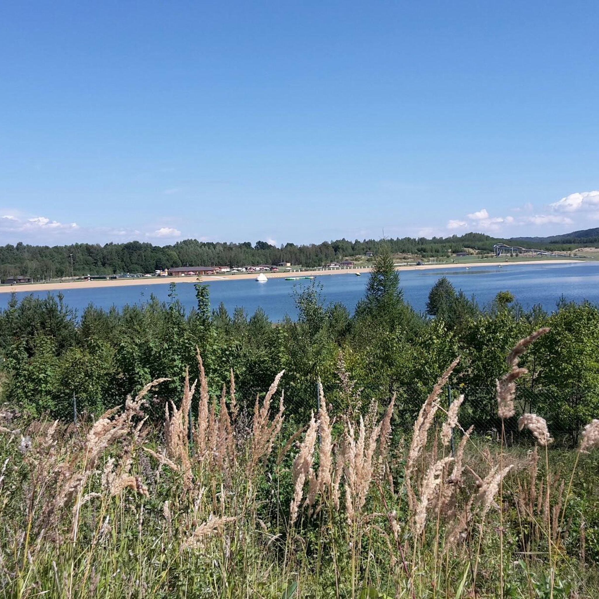
Hiking around Lake Michal offers a diverse experience. You'll encounter picturesque lakeside paths, tranquil forested sections, and gentle hills. The central lake is a constant focal point, providing scenic views throughout many of the routes. The region is characterized by its blend of open landscapes and secluded woodlands.
Are there any notable landmarks or points of interest along the trails?
Yes, some routes incorporate points of interest. For example, the Statue of Founder Sebastián – Sokolov Train Station loop from Těšovice takes you past the Statue of Founder Sebastián, offering a cultural highlight amidst the natural scenery. The area also features the Michal Swimming Area itself, which is a popular spot.
What do other hikers say about their experience in Lake Michal?
The komoot community highly rates the hiking experience around Lake Michal, with an average score of 4.5 stars from over 490 reviews. Hikers frequently praise the well-maintained paths, the beautiful lake views, and the variety of routes suitable for different fitness levels, making it a popular destination for outdoor enthusiasts.
Is there public transport access to the hiking areas around Lake Michal?
Yes, public transport is an option for reaching some trailheads. The Statue of Founder Sebastián – Sokolov Train Station loop from Těšovice specifically mentions the Sokolov Train Station, indicating that some routes are accessible via public transport, particularly from the nearby town of Sokolov.
Are there opportunities for wild swimming near the hiking trails?
The area is known for the Michal Swimming Area, which is a designated spot for swimming. While not 'wild' in the sense of an undeveloped natural pool, it provides a refreshing option to cool off after a hike, with several routes, such as the Michal Swimming Area loop from Těšovice, passing directly by it.
What is the best time of year to go hiking around Lake Michal?
The Lake Michal area is enjoyable for hiking throughout much of the year. Spring and autumn offer pleasant temperatures and vibrant scenery with blooming flowers or colorful foliage. Summer is ideal for combining hiking with swimming at the Michal Swimming Area, while winter can provide a serene experience, though some paths might be snowy or icy.
Most popular routes around lake Michal

Get inspired with the komoot mobile app


Explore more
Browse the best Hikes in other regions.
