The best walks and hikes around Area G (Upper Similkameen/Hedley)
4.8
(7)
56
hikers
10
hikes
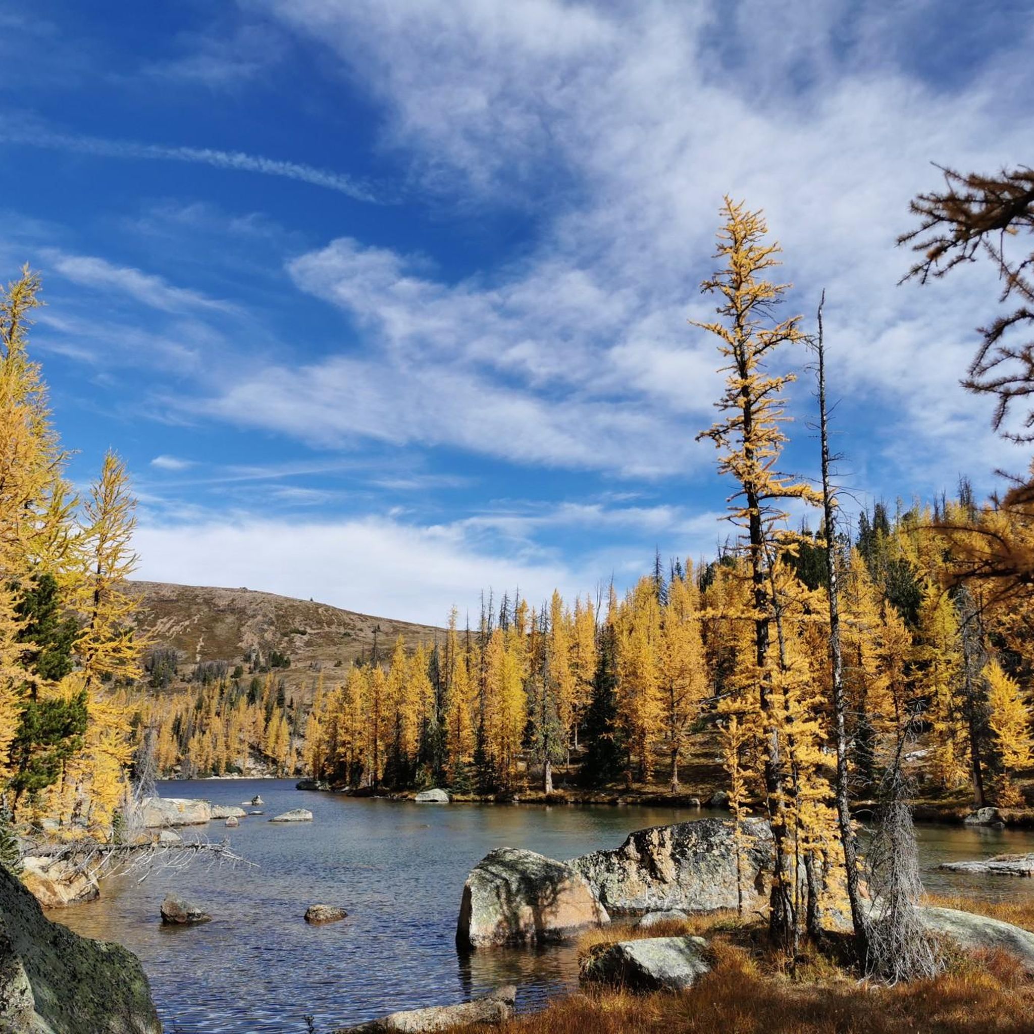
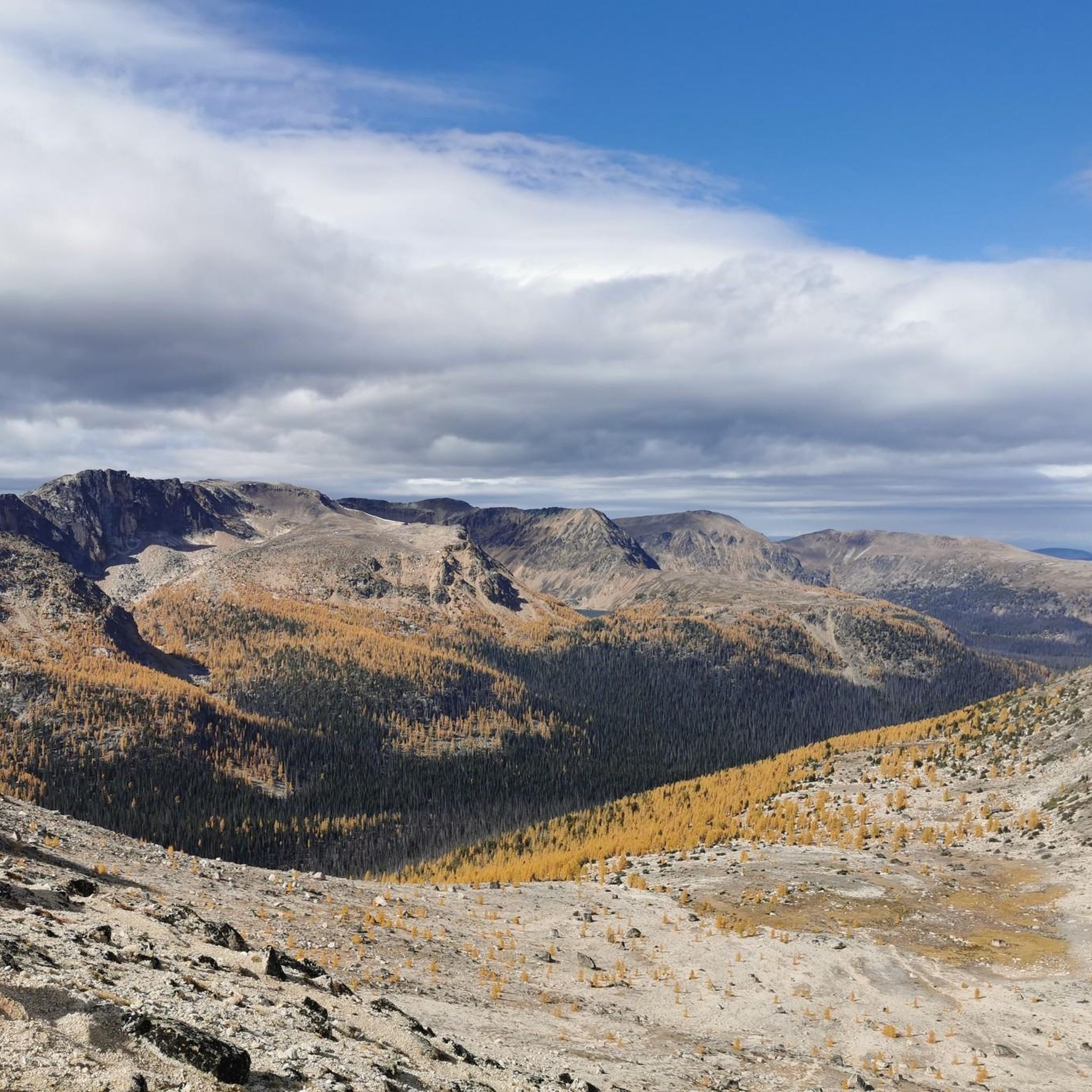
Hiking around Area G (Upper Similkameen/Hedley) offers diverse landscapes, from river valleys to rugged mountains and dense forests. The region is characterized by the confluence of the Similkameen and Tulameen Rivers, forested highlands, and the majestic Cascade Mountains. Hikers can encounter unique geological formations like red ochre bluffs and hoodoos, alongside varied ecosystems supporting abundant wildlife. This area provides extensive trail networks suitable for different skill levels.
Best hiking trails around Area G (Upper Similkameen/Hedley)
- The most popular hiking route is French Mine loop — Hedley, a 3.8 miles (6.0 km) trail that takes 1 hour 59 minutes to complete. This easy route features a moderate elevation gain of 274 meters.
- Another top favourite among local hikers is Pyramid Lake – Devil's Woodpile loop from Cathedral Lakes Lodge, a moderate 7.8 miles (12.5 km) path. This trail offers significant elevation changes and scenic views around Cathedral Provincial Park.
- Local hikers also love the Pyramid Lake – Goat Lake loop from Cathedral Lakes Lodge, a 9.6 miles (15.5 km) trail leading through mountainous terrain, often completed in about 5 hours 28 minutes.
- Hiking around Area G (Upper Similkameen/Hedley) is defined by river valleys, forested highlands, and rugged mountain trails. The network offers options for different ability levels, from leisurely walks to challenging ascents.
- The routes in Area G (Upper Similkameen/Hedley) are highly rated by the komoot community with an average score of 5.0 stars from over 5 reviews. More than 50 hikers have used komoot to explore Area G (Upper Similkameen/Hedley)'s varied terrain.
Last updated: November 4, 2026
7
hikers
10.3km
03:35
520m
520m
Moderate hike. Good fitness required. Easily walkable paths.
3
hikers
6.33km
01:59
250m
250m
Easy hike. Easily walkable paths.

1
hikers
6.04km
02:00
270m
280m
Easy hike. Easily walkable paths.
5.0
(3)
9
hikers
11.0km
04:14
600m
600m
Moderate hike. Good fitness required. Mostly walkable paths. Sure-footedness required.
5.0
(2)
11
hikers
9.29km
03:11
530m
530m
Moderate hike. Good fitness required. Easily walkable paths.
Get access to more routes and recommendations from other explorers.
Already have an account?
Our route recommendations are based on thousands of hikes, rides, and runs completed by other people on komoot.
Start today with a free account
Your next adventure awaits.
Popular around Area G (Upper Similkameen/Hedley)
Tips from the Community

This route begins just off of Willowbrook Road and takes you out to Guy's Cache and the great view from the summit. The trail can be hard to follow at times so having your maps downloaded will keep you on the right path. Wildlife, including black bears, is commonly spotted in the area so bringing bear spray is a good idea if you have it.
0
0
Located just off the main Guy's Cache Trail, this viewpoint gives you a great view across the valley and lakes below. Located right at the edge of the ridgeline you'll have a truly unobstructed view across the White Lake Grasslands Protected Area.
0
0
This small lake sits along Guy's Cache Trail and is the perfect place to rest for a moment and enjoy the serene setting. The water level can vary greatly throughout the year but it's still a beautiful place regardless of how much water there is.
0
0


You can approach Mount Keogan either from the Dogtown Trail or the Go East Old Man Trail. This is the less well-trodden, though it's a good option if you were wanting to create a loop on the mountain.
0
0
Rising to around 910 meters (2,985 ft) above British Columbia's Okanagan Valley, Mount Keogan is a fine hiking objective. It's most often ascended from Green Lake Road via the Dogtown Trail and all the trail junctions are signposted. To the south of the summit is a fine viewpoint towards Oliver. It's possible to complete a loop by descending either the quieter Go East Old Man Trail or the longer 5 Lakes Lookout Trail. The latter is mostly through woodland and misses out on the lake views.
0
0
This viewpoint to the south of Mount Keogan's summit provides vast views towards Oliver and Tugulnuit Lake. This point can be reached via the Dogtown Trail, which begins on Green Lake Road. There's no official parking but there's space to pull over on the side of the road.
0
0
Frequently Asked Questions
How many hiking trails are available in Area G (Upper Similkameen/Hedley)?
Area G (Upper Similkameen/Hedley) offers a diverse network of over 40 marked trails, with at least 8 routes available on komoot. These range from easy strolls to challenging ascents, catering to various skill levels.
What is the best time of year to go hiking in Area G (Upper Similkameen/Hedley)?
The region offers year-round opportunities. While summer is excellent for hiking, the area transforms into a winter wonderland for cross-country skiing and snowshoeing, particularly at China Ridge and E.C. Manning Provincial Park. Spring and fall provide pleasant temperatures and vibrant scenery.
What kind of landscapes can I expect to see while hiking in Area G (Upper Similkameen/Hedley)?
Hikers will experience a dramatic blend of river valleys, rugged mountains, and dense forests. The landscape transitions from lush riverbanks along the Similkameen and Tulameen Rivers to more arid, desert-like areas, with features like red ochre bluffs and unique hoodoo rock formations.
Are there any easy day hikes suitable for beginners in Area G (Upper Similkameen/Hedley)?
Yes, there are several easy options. A great choice is the French Mine loop — Hedley, an easy 3.8-mile (6.0 km) trail with a moderate elevation gain, typically completed in under two hours. The Similkameen River Trail also offers a leisurely, family-friendly walk.
Can I find challenging multi-day hikes in Area G (Upper Similkameen/Hedley)?
For more challenging experiences, trails within E.C. Manning Provincial Park and Cathedral Provincial Park offer significant elevation changes and rugged terrain. Routes like the Pyramid Lake – Goat Lake loop from Cathedral Lakes Lodge, a 9.6-mile (15.5 km) difficult trail, provide strenuous ascents and stunning alpine views.
Are there any circular hiking routes in Area G (Upper Similkameen/Hedley)?
Yes, several circular routes are available. The French Mine loop — Hedley is an easy option. For moderate difficulty, consider the Pyramid Lake – Devil's Woodpile loop from Cathedral Lakes Lodge or the Scout Lake loop from Cathedral Lakes Lodge.
Are there family-friendly hiking options in Area G (Upper Similkameen/Hedley)?
Absolutely. The Similkameen River Trail is a leisurely, family-friendly path following the river's edge. E.C. Manning Provincial Park also offers easier strolls, such as those around Lightning Lake, suitable for families with children.
Are dogs allowed on hiking trails in Area G (Upper Similkameen/Hedley)?
Many trails in the region are dog-friendly. For instance, some sections of the China Ridge Trails near Princeton welcome dogs. It's always best to check specific trail regulations before heading out, especially in provincial parks, and ensure your dog is on a leash.
What historical sites or unique geological features can I discover on hikes in Area G (Upper Similkameen/Hedley)?
The region is rich in history and geology. You can explore the historic Kettle Valley Rail Trail, which features a 1,000-foot lit tunnel and red ochre bluffs. The Old Hedley Road offers insights into the area's mining past, and the historic town of Hedley itself is a notable attraction. You can also find fascinating hoodoo rock formations along the Trans Canada Trail section between Princeton and Coalmont. Consider visiting the Hedley Old Mining Town.
What kind of wildlife might I encounter while hiking in the Upper Similkameen and Hedley regions?
The diverse ecosystems support a wide array of wildlife. Hikers in areas like China Ridge might spot elk and wapiti deer. The Swan Lake Bird Sanctuary in Princeton is a haven for birdwatchers, with 15 kilometers of nature trails. Along the rivers, you may also see various bird species and other small mammals.
What are the parking options for trailheads in Area G (Upper Similkameen/Hedley)?
Parking is generally available at popular trailheads and provincial parks throughout Area G. For specific routes, it's advisable to check local signage or trail information for designated parking areas. Towns like Hedley and Princeton also offer amenities and parking for visitors.
Is public transport available to access hiking trails in Area G (Upper Similkameen/Hedley)?
Public transport options directly to remote trailheads are limited in Area G. Most hikers rely on personal vehicles to access the diverse trail networks. However, some trails are accessible from towns like Princeton and Hedley, which may have limited local transport services.
What do other hikers enjoy the most about hiking in Area G (Upper Similkameen/Hedley)?
The area is highly rated by the komoot community, with an average score of 5.0 stars from over 5 reviews. Reviewers often praise the diverse landscapes, from river valleys to rugged mountains, and the extensive network of trails that cater to all skill levels. The unique geological features and rich history also contribute to a memorable hiking experience.
Most popular routes around Area G (Upper Similkameen/Hedley)
Most popular attractions around Area G (Upper Similkameen/Hedley)

Get inspired with the komoot mobile app


Explore more
Browse the best Hikes in other regions.
