The best road cycling routes around Area F (Trout Creek Valley)
5.0
(3)
1,187
riders
25
rides
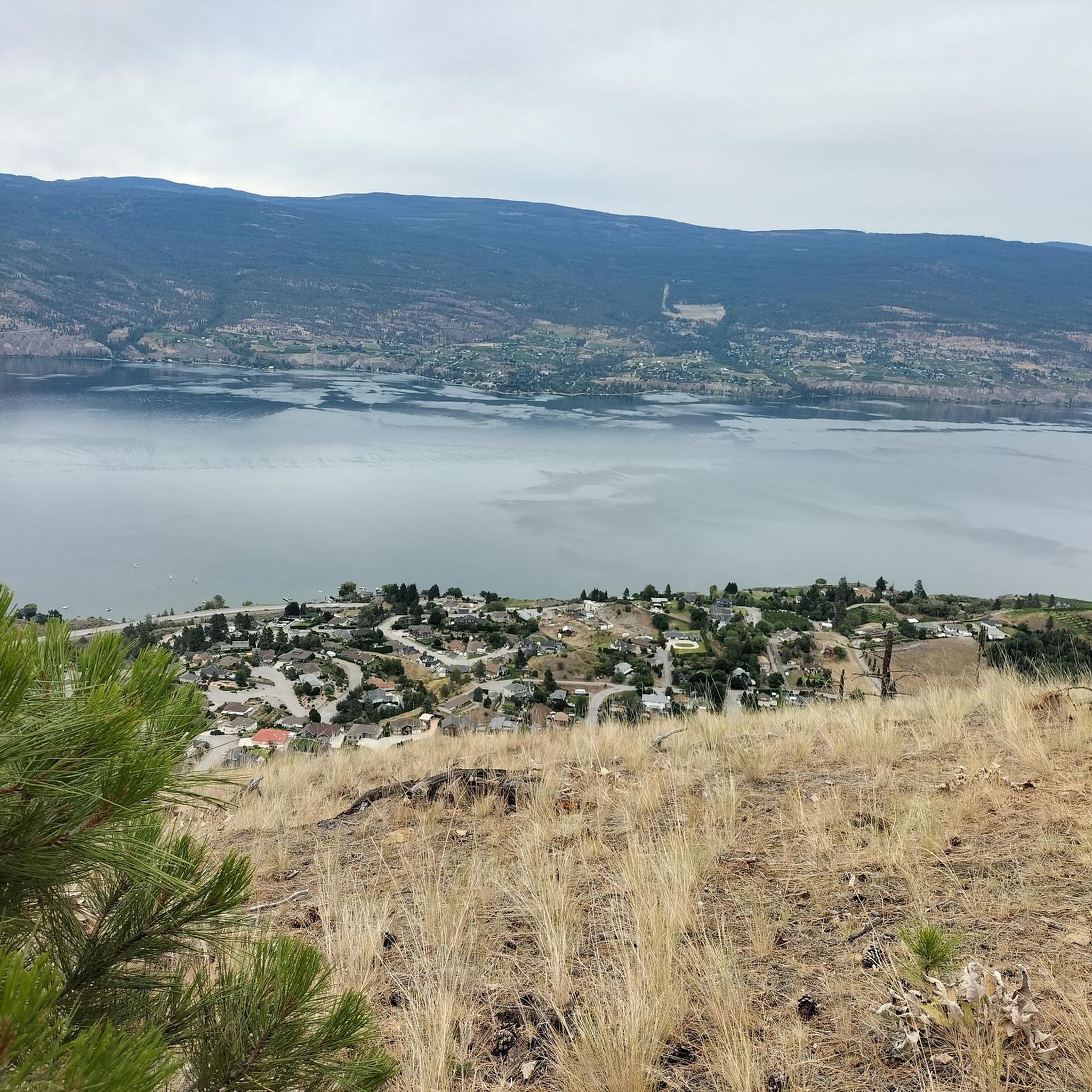
Road cycling routes around Area F (Trout Creek Valley) are primarily found in the Okanagan region of British Columbia, characterized by scenic lakefronts, canyons, and forested areas. The terrain offers a mix of gentle gradients along former rail trails and more challenging climbs with significant elevation gains. Cyclists can expect well-paved surfaces, though some segments may be unpaved, providing diverse riding experiences. The area features views of Okanagan Lake, pine forests, and aspen trees, particularly vibrant in the fall.
Best…
Last updated: July 10, 2026
86
riders
96.0km
04:20
970m
970m
Hard road ride. Very good fitness required. Mostly well-paved surfaces and easy to ride.
54
riders
86.3km
04:05
920m
920m
Hard road ride. Very good fitness required. Some segments of this route may be unpaved and difficult to ride.

Sign up for free
30
riders
35.3km
01:28
210m
210m
Easy road ride. Great for any fitness level. Mostly well-paved surfaces and easy to ride.
30
riders
26.0km
01:05
190m
190m
Easy road ride. Great for any fitness level. Mostly well-paved surfaces and easy to ride.
26
riders
85.2km
04:25
1,020m
1,020m
Hard road ride. Very good fitness required. Some segments of this route may be unpaved and difficult to ride.
Get access to more routes and recommendations from other explorers.
Sign up for free
Already have an account?
Our route recommendations are based on thousands of hikes, rides, and runs completed by other people on komoot.
Start today with a free account
Your next adventure awaits.
Login or Signup
Popular around Area F (Trout Creek Valley)

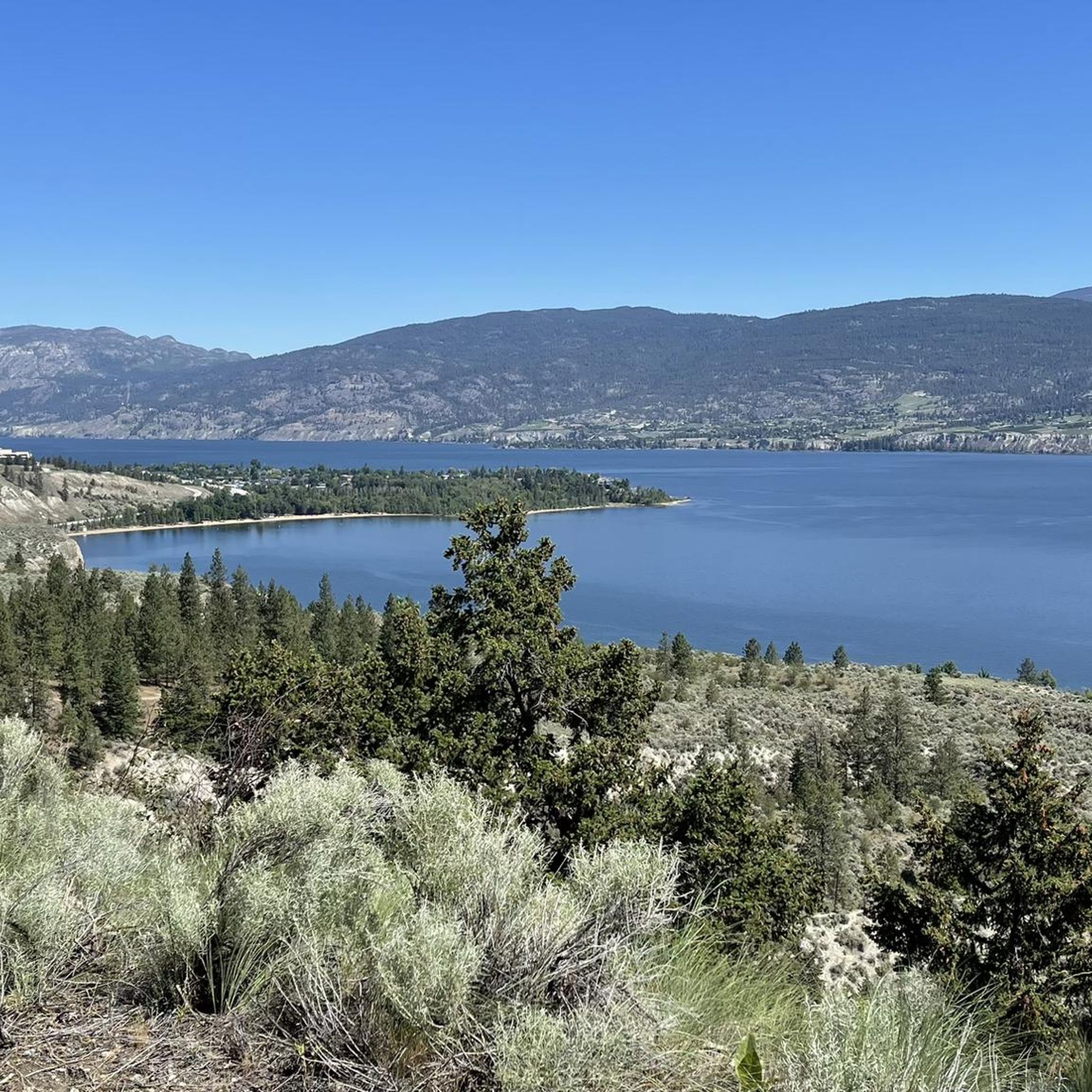
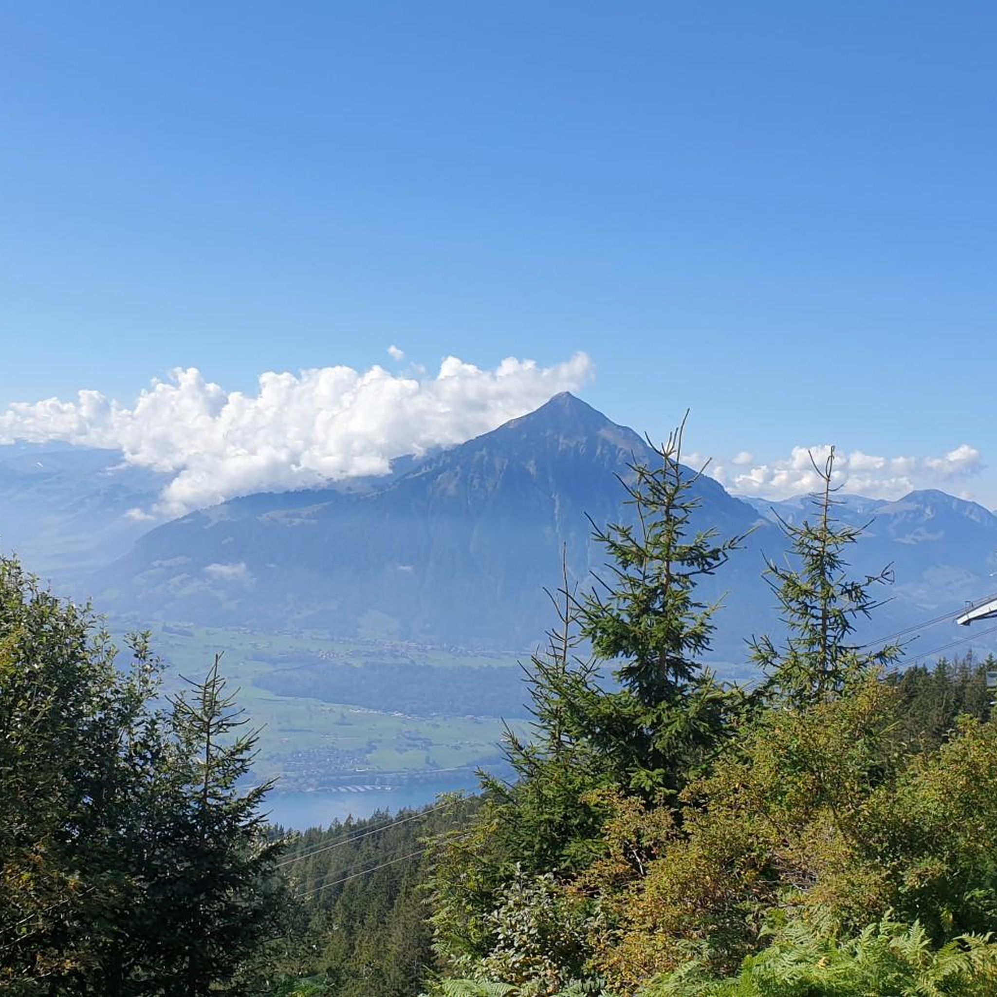
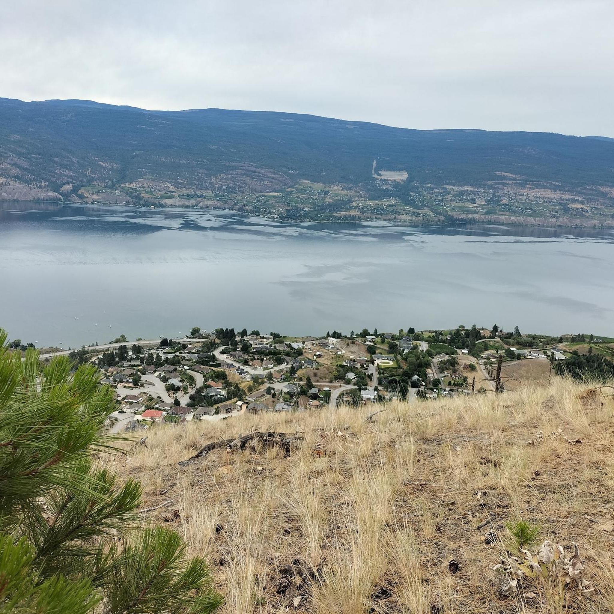
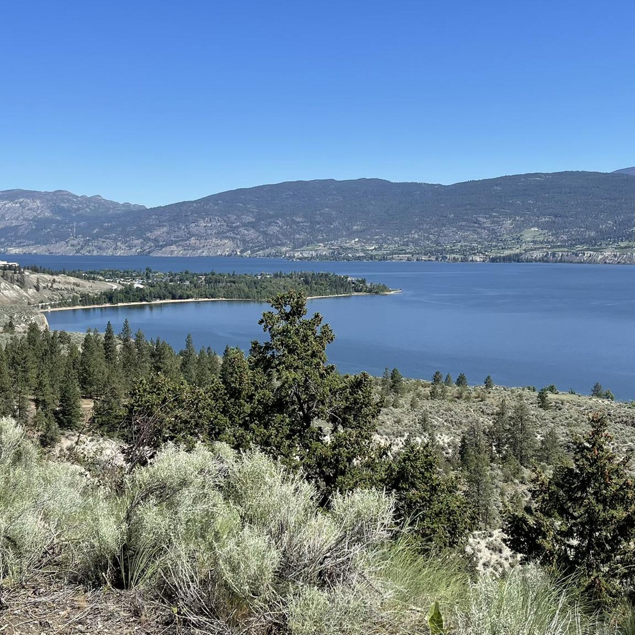
Other adventures around Area F (Trout Creek Valley)

Tips from the Community

Sun-Oka Beach Provincial Park is a 30-hectare park situated on the shores of Okanagan Lake. It features a large, south-facing beach that is perfect for swimming. The park also offers amenities such as a playground, fire pits, picnic tables, water fountains, and watersport rentals.
0
0
Trout Creek is a small yet vital river located just south of Summerland, serving as the primary water source for the district. Further upstream, the creek becomes a popular destination for whitewater kayaking in the dramatic Trout Creek Canyon.
0
0

Frequently Asked Questions
What kind of terrain can I expect when road cycling in Area F (Trout Creek Valley)?
Road cycling in Area F (Trout Creek Valley), particularly in the Okanagan region, offers a diverse terrain. You'll find a mix of well-paved surfaces and some unpaved segments, especially along sections of the Kettle Valley Rail Trail. The routes feature gentle gradients suitable for leisurely rides, as well as more challenging climbs with significant elevation gains, providing options for various skill levels.
Are there road cycling routes suitable for families in Area F (Trout Creek Valley)?
Yes, there are family-friendly road cycling options in Area F (Trout Creek Valley). While some routes are more challenging, you can find easier, shorter routes with less elevation gain. For example, the Kickininee Provincial Park – Adams Bird Sanctuary loop from Penticton is an easy 21.9-mile (35.3 km) trail that takes about 1 hour 28 minutes, leading through provincial parkland and natural habitats.
What are some notable landmarks or scenic viewpoints along the road cycling routes?
The road cycling routes in Area F (Trout Creek Valley) offer expansive lake views, winding canyon roads, and sections of the historic Kettle Valley Rail Trail. You can enjoy views of Okanagan Lake, pine forests, and aspen trees, which are particularly vibrant in the fall. Notable landmarks include Giants Head Summit, and sections of the Kettle Valley Railway, including the Adra Tunnel.
When is the best time of year to go road cycling in Area F (Trout Creek Valley)?
The Okanagan region, where many of the Area F (Trout Creek Valley) routes are located, is particularly beautiful in the fall. Cyclists can enjoy magnificent views with vibrant fall colors, especially along the Kettle Valley Rail Trail. Spring and summer also offer excellent conditions for cycling, with pleasant temperatures and lush landscapes.
Are there any challenging road cycling climbs in Area F (Trout Creek Valley)?
Yes, Area F (Trout Creek Valley) offers routes with significant elevation gains for experienced road cyclists. For instance, the Bighorn Sheep Pasture – Along the Lake loop from Penticton is a difficult 59.7-mile (96.1 km) route with extensive lake views and substantial elevation changes. Another challenging option is the Bighorn Sheep Pasture – Along the Lake loop from Trout Creek, which features over 1000 meters of ascent.
What do other road cyclists enjoy most about cycling in Area F (Trout Creek Valley)?
The komoot community highly rates road cycling in Area F (Trout Creek Valley), with an average score of 5.0 stars from 3 reviews. Cyclists often praise the expansive lake views, the winding canyon roads, and the diverse experience offered by sections of the Kettle Valley Rail Trail, which caters to various skill levels from easy to difficult.
Are there any loop routes available for road cycling in Area F (Trout Creek Valley)?
Yes, Area F (Trout Creek Valley) features several excellent loop routes. Popular options include the difficult Along the Lake – Bighorn Sheep Pasture loop from Canyon View Terminus, offering panoramic vistas, and the easier Along the Lake loop from Penticton, which is 25.9 km long.
How many road cycling routes are available in Area F (Trout Creek Valley)?
There are 27 road cycling routes available in Area F (Trout Creek Valley) on komoot. These routes are categorized by difficulty, with 6 easy, 12 moderate, and 9 difficult options, ensuring there's something for every cyclist.
Are there paved road cycling routes in Area F (Trout Creek Valley)?
Many of the road cycling routes in Area F (Trout Creek Valley) feature well-paved surfaces, especially those in the Okanagan region. While some segments, particularly on the Kettle Valley Rail Trail, might be unpaved, you can find numerous routes that are predominantly paved, offering a smooth riding experience.
Can I find cafes or pubs near the road cycling trails in Area F (Trout Creek Valley)?
While specific cafes and pubs are not detailed for every route, the road cycling routes in Area F (Trout Creek Valley) are often accessible from towns like Penticton and Summerland in the Okanagan region. These towns offer various amenities, including cafes and pubs, where you can refuel and relax after your ride.
What are the general trail conditions like for road cycling in Area F (Trout Creek Valley)?
The road cycling routes in Area F (Trout Creek Valley) generally offer good conditions, with many well-paved sections. However, some routes, especially those incorporating parts of the Kettle Valley Rail Trail, may include unpaved segments. It's always advisable to check local conditions, especially after rain, as unpaved sections can become muddy or soft.
Most popular routes around Area F (Trout Creek Valley)
Most popular attractions around Area F (Trout Creek Valley)

Get inspired with the komoot mobile app


Explore more
Browse the best Road cycling routes in other regions.
