The best road cycling routes around La Malbaie
4.0
(2)
328
riders
6
rides
Road cycling around La Malbaie offers diverse terrain shaped by the Charlevoix crater, featuring rugged mountains and rolling hills. The region provides significant elevation changes and expansive vistas of the St. Lawrence River. Cyclists can navigate winding roads through forested areas and along river valleys, encountering both challenging climbs and more gentle paths. The landscape is characterized by its dramatic meeting of mountains and water, providing varied conditions for road cycling.
Best road cycling routes around La Malbaie
- The most…
Last updated: July 4, 2026
4.0
(1)
48
riders
110km
05:41
1,640m
1,640m
Hard road ride. Very good fitness required. Some segments of this route may be unpaved and difficult to ride.
15
riders
46.6km
02:15
590m
590m
Moderate road ride. Good fitness required. Mostly well-paved surfaces and easy to ride.

Sign up for free
8
riders
26.8km
01:30
550m
550m
Moderate road ride. Good fitness required. Mostly well-paved surfaces and easy to ride.
10
riders
48.4km
02:41
750m
750m
Moderate road ride. Good fitness required. Some segments of this route may be unpaved and difficult to ride.
8
riders
54.8km
02:44
670m
670m
Moderate road ride. Good fitness required. Some segments of this route may be unpaved and difficult to ride.
Our route recommendations are based on thousands of hikes, rides, and runs completed by other people on komoot.
Start today with a free account
Your next adventure awaits.
Login or Signup
Popular around La Malbaie
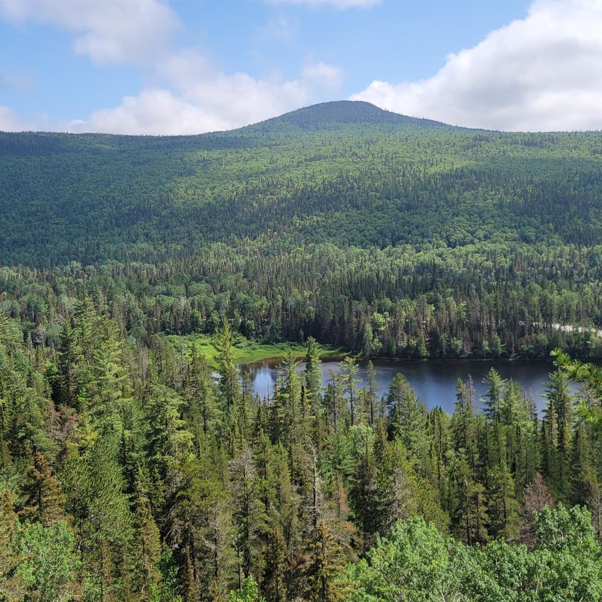
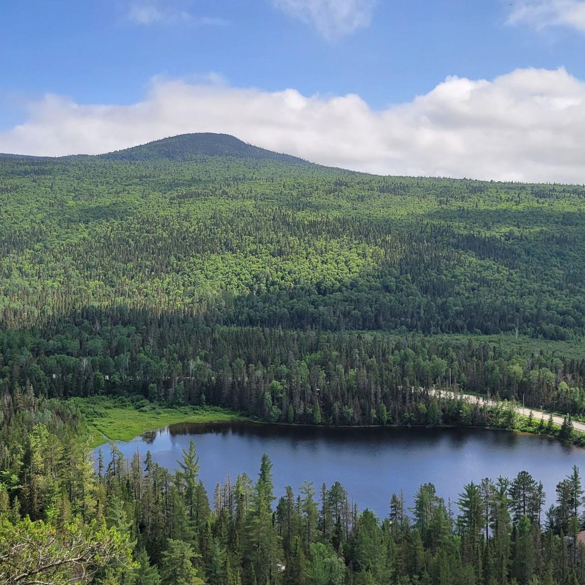
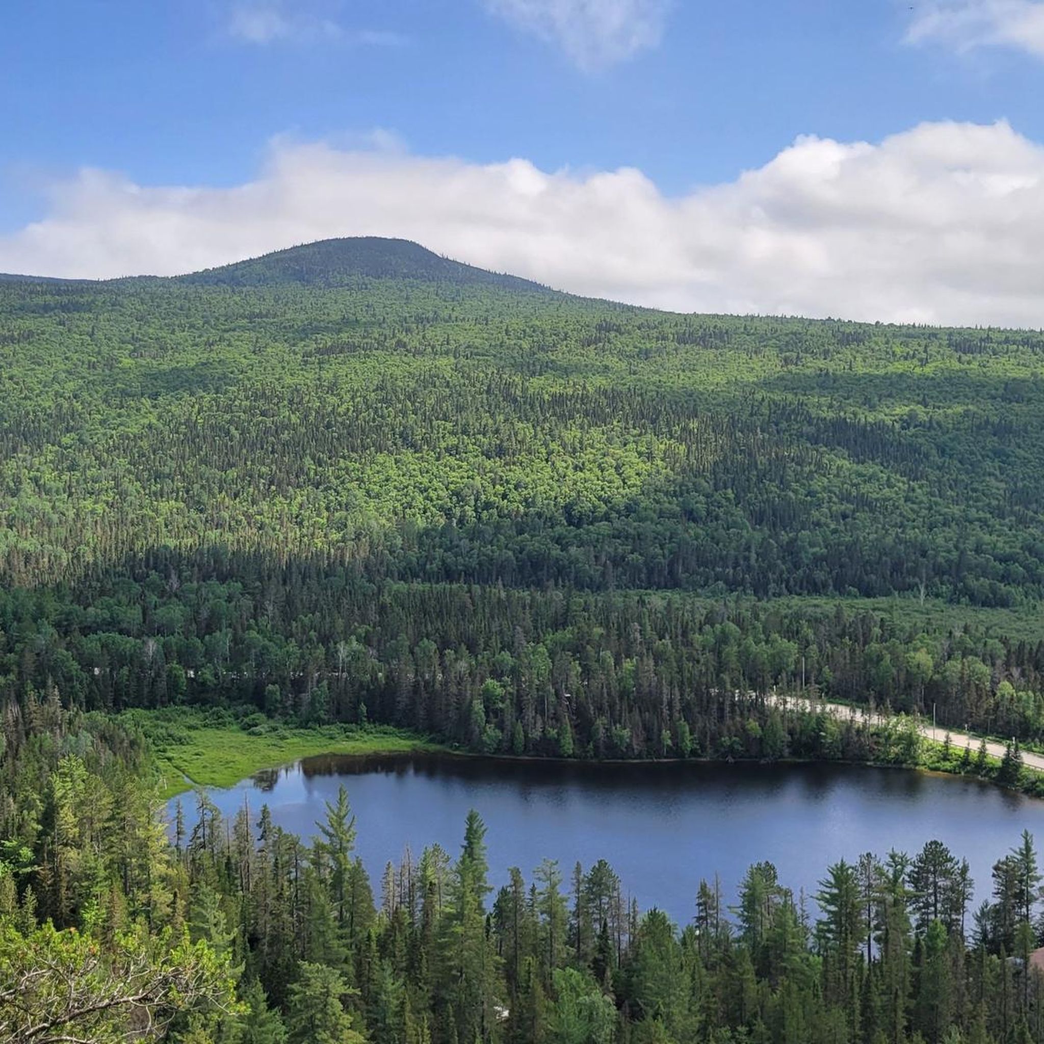
Tips from the Community

As the Paysan Trail begins, the first 1.5 kilometres pass through open fields and farmland. This section of trail is relatively flat, but once the forest begins, the climb begins to a rewarding viewpoint about 8 kilometres up from the parking area.
0
0
Frequently Asked Questions
What kind of terrain can I expect when road cycling in La Malbaie?
La Malbaie, situated within the Charlevoix Biosphere Reserve, offers a diverse and challenging road cycling landscape. You'll encounter rugged mountains, significant elevation changes, and winding roads through forests and along river valleys. The region is known for its dramatic meeting of mountains and the majestic St. Lawrence River, providing both challenging climbs and scenic descents.
Are there road cycling routes suitable for beginners or those seeking an easier ride?
While many routes in La Malbaie feature significant elevation, there are options for varying fitness levels. For a moderate experience, consider the Roadbike loop from La Malbaie, which is 26.8 km long with about 550 meters of elevation gain. This route offers a taste of the region's hilly landscape without the extreme demands of longer tours.
What are some challenging road cycling routes in the La Malbaie area?
For experienced cyclists seeking a significant challenge, the Rivière du Gouffre loop from La Malbaie is highly recommended. This difficult route spans 108.9 km and features over 1,600 meters of elevation gain, taking you through the region's rugged inland terrain and offering extensive views.
Are there any circular road cycling routes around La Malbaie?
Yes, many of the road cycling routes in La Malbaie are designed as loops. Popular options include the challenging Rivière du Gouffre loop from La Malbaie, and the moderate Lac Antoine – Lac à Jean-Charles-Bouchard loop from La Malbaie, which navigates through hilly terrain with lake views.
What scenic viewpoints can I expect on road cycling routes in La Malbaie?
Road cycling routes in La Malbaie frequently lead to belvederes and lookouts offering unparalleled views. You can expect panoramic vistas of the St. Lawrence River, especially along routes that follow the coastline. The mountainous terrain also provides stunning perspectives of the Charlevoix region's unique landscape, including views towards Baie-St-Paul and l'Isle-aux-Coudres.
What do other road cyclists enjoy most about cycling in La Malbaie?
The road cycling routes in La Malbaie are highly rated by the komoot community, with an average score of 4.0 stars. Cyclists often praise the dramatic, meteorite-formed landscape, the challenging routes through rugged mountains, and the impressive views of the St. Lawrence River. The blend of physical challenge and natural beauty is a common highlight.
Are there any road cycling routes that pass by lakes?
Yes, several routes offer views of the region's lakes. The Lac Antoine – Lac à Jean-Charles-Bouchard loop from La Malbaie is a moderate 46.6 km path that specifically navigates through hilly terrain, offering views of these lakes. Another option is the Lac Bon Repos loop from Lac à Jean-Charles-Bouchard.
Can I access national parks while road cycling in La Malbaie?
While road cycling routes primarily focus on the regional roads, the Charlevoix area provides accessibility to national parks. For example, cyclists can easily reach Grands-Jardins National Park, which offers additional hiking opportunities amidst stunning northern landscapes. Some routes may pass near park entrances or offer views of these protected areas.
Are there dedicated bike paths in La Malbaie?
Yes, La Malbaie features safe and marked bike paths. A notable path runs along the St. Lawrence River from downtown La Malbaie to Pointe-au-Pic. This path provides opportunities to view local architecture, heritage, and marine life from rest areas like Quai Casgrain, offering a more relaxed cycling experience.
What are the typical distances and elevation gains for road cycling routes in La Malbaie?
Road cycling routes in La Malbaie vary significantly in distance and elevation. You can find moderate routes like the Lac Brûlé – Lac Antoine loop from Gîte Pousse Pioche, which is 54.8 km with about 670 meters of elevation gain. More difficult routes, such as the Rivière du Gouffre loop from La Malbaie, can be over 100 km long with more than 1,600 meters of climbing.
Most popular routes around La Malbaie

Get inspired with the komoot mobile app


Explore more
Browse the best Road cycling routes in other regions.
