The best road cycling routes around Sainte-Anne-de-la-Rochelle
4.5
(13)
452
riders
6
rides
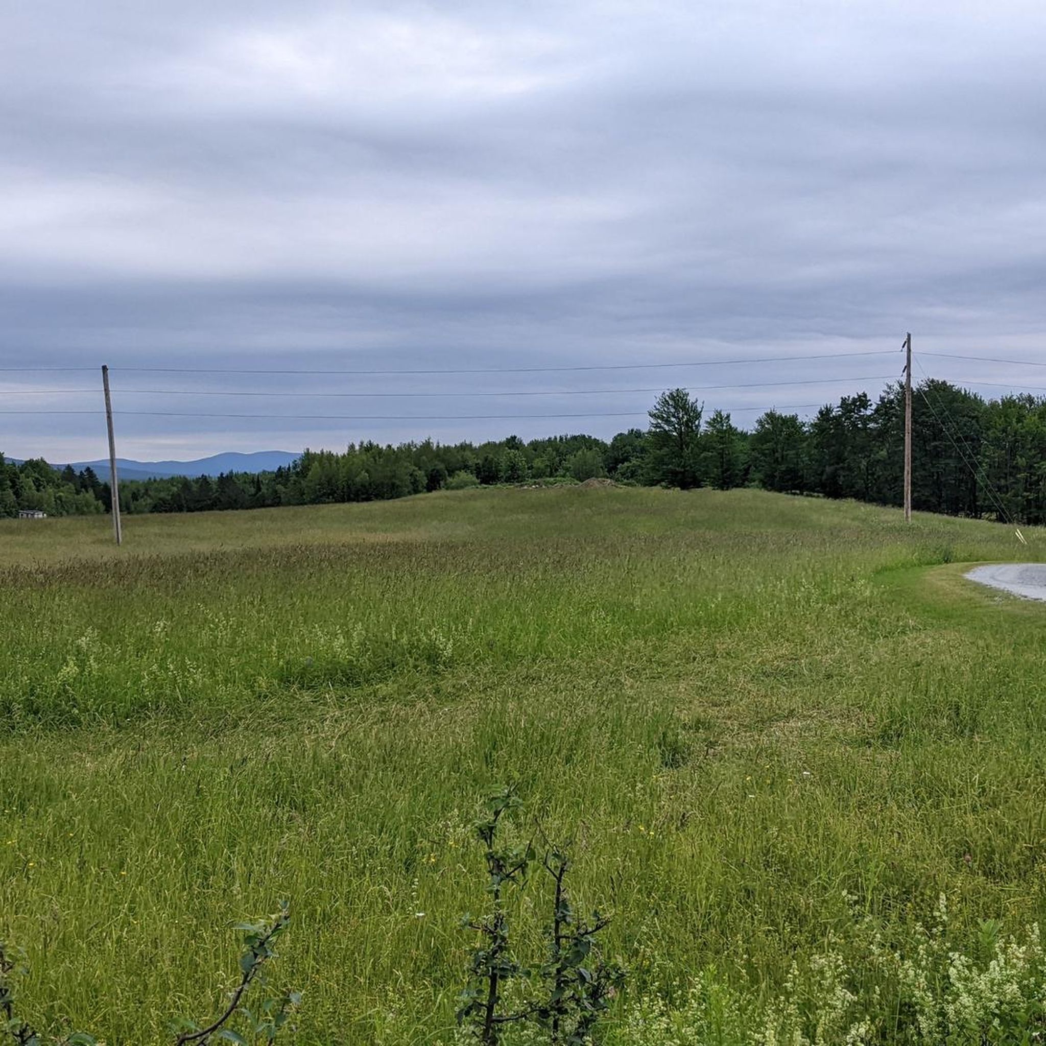
Road cycling routes around Sainte-Anne-de-la-Rochelle are situated within Quebec's Eastern Townships, offering a landscape characterized by rolling hills and mountainous backdrops. The terrain provides a mix of ascents and descents, with panoramic views of the surrounding countryside. Cyclists traverse agricultural fields, pastures, and forested areas, contributing to a varied riding experience. This region, at the foothills of the Appalachian Mountains, features quiet, winding asphalt roads suitable for road cycling.
Best road cycling routes around Sainte-Anne-de-la-Rochelle
- The most popular road cycling…
Last updated: July 11, 2026
4.9
(11)
337
riders
51.1km
02:08
320m
320m
Moderate road ride. Good fitness required. Some segments of this route may be unpaved and difficult to ride.
31
riders
77.1km
03:14
370m
370m
Moderate road ride. Good fitness required. Some segments of this route may be unpaved and difficult to ride.

Sign up for free
4.0
(2)
29
riders
39.0km
02:02
390m
390m
Moderate road ride. Good fitness required. Some segments of this route may be unpaved and difficult to ride.
17
riders
89.2km
04:04
970m
970m
Hard road ride. Very good fitness required. Mostly well-paved surfaces and easy to ride.
15
riders
80.4km
03:38
790m
790m
Moderate road ride. Good fitness required. Some segments of this route may be unpaved and difficult to ride.
Our route recommendations are based on thousands of hikes, rides, and runs completed by other people on komoot.
Start today with a free account
Your next adventure awaits.
Login or Signup



Tips from the Community


Built in 1967 after a severe drought, the reservoir serves as a backup water supply for the city of Granby. La Granbyenne trail passes between the reservoir and the nearby North Yamaska River, creating a beautiful waterside stretch with open views across the water as you continue around Lac Boivin.
0
0
This boardwalk viewpoint along Lac Boivin offers open views across the lake and surrounding wetlands. A few benches make it a nice place to sit and take in the scenery, with good chances of spotting birds and other wildlife on the water. The platform is fully exposed to the sun, so sun protection is recommended especially on warmer days.
0
0

There's so much to do at Lac Boivin. On the eastern shore you have the lakeside town of Granby, complete with restaurants, cafes and galleries. A swim in the lake after a day riding or hiking is a must. On the northern shore you'll find the impressive 'Centre d'interprétation de la nature du lac Boivin', an official Important Bird Area (IBA), including a marsh which is a refuge and resting place for many birds. It's accessible all year round, enabling visitors to discover a wide variety of flora and fauna. And on the eastern shore you'll find the start of the Parc National de la Yamaska. It's a natural wonderland, but also a playground for outdoor enthusiasts. The cycling, hiking, swimming and boating are second to none.
0
0


I love the Granby trail, the people are nice, the patrollers are kind and there is a lot of activity in the surrounding area.
2
0
Ideal place to relax and have a bite to eat if your lungs feel like it.
1
0
Beautiful walkway with a magnificent view of the lake and the water jet.
1
0
Frequently Asked Questions
How many road cycling routes are available around Sainte-Anne-de-la-Rochelle?
There are nearly 10 road cycling routes around Sainte-Anne-de-la-Rochelle, offering a diverse range of experiences for cyclists. These routes are situated within Quebec's Eastern Townships, known for its scenic landscapes and rolling hills.
What kind of terrain can I expect on road cycling routes in Sainte-Anne-de-la-Rochelle?
The region is characterized by rolling hills and mountainous backdrops, providing a mix of ascents and descents. You'll traverse quiet, winding asphalt roads through agricultural fields, pastures, and forested areas, with rewarding panoramic views, especially towards Mount Orford.
Are there any easy road cycling routes suitable for beginners or families?
Yes, there is one easy route available. The Bike Path – Bench With Lake View loop from Waterloo is an easy 43.0 km path featuring views of local waterways and accessible cycling paths, making it a great option for a more relaxed ride.
What are some popular moderate road cycling routes in the area?
Several moderate routes are popular among cyclists. The Robin Bière Naturelle loop from Waterloo is a 51.1 km route with varied terrain. Another option is the Bench With Lake View – Yamaska Trail loop from Stationnement VR, which is 77.2 km and leads through pastoral landscapes.
Are there any challenging road cycling routes for experienced riders?
Yes, the region offers two difficult routes for those seeking a greater challenge. These routes feature more significant elevation gains, leveraging the area's position at the foothills of the Appalachian Mountains to provide demanding ascents and descents.
What do other road cyclists say about the routes in Sainte-Anne-de-la-Rochelle?
The road cycling routes in Sainte-Anne-de-la-Rochelle are highly rated by the komoot community, with an average score of 4.5 stars from nearly 20 reviews. Cyclists often praise the scenic beauty, the varied terrain, and the quiet, winding roads that offer a rewarding experience.
What kind of scenic views can I expect while road cycling here?
Cyclists can enjoy panoramic views of the surrounding countryside, including distant mountain vistas, especially towards Mount Orford. The routes also pass through tranquil agricultural landscapes, pastures, and forested areas, offering a picturesque backdrop for your ride.
Are there any notable landmarks or attractions along the road cycling routes?
While cycling, you might encounter points of interest such as the Yamaska River Bridge or sections of the Chemin de la Diligence. The broader area also includes natural features like Yamaska National Park, which offers additional exploration opportunities.
What is the best season for road cycling in Sainte-Anne-de-la-Rochelle?
The best season for road cycling in Sainte-Anne-de-la-Rochelle, like much of Quebec's Eastern Townships, is typically from late spring through early autumn. During these months, the weather is generally mild, and the natural scenery is at its most vibrant, offering ideal conditions for exploring the rolling hills and pastoral landscapes.
Are there any long-distance road cycling routes available?
Yes, for those looking for longer rides, routes like the Bike Path – Robin Bière Naturelle loop from Waterloo cover approximately 78.5 km with significant elevation gain, providing an extended and challenging experience through the region's diverse terrain.
Are there any routes that feature lakes or waterways?
Yes, some routes offer views of local waterways. For instance, the easy Bike Path – Bench With Lake View loop from Waterloo specifically highlights lake views, and the broader Eastern Townships region is known for its numerous lakes and rivers.
What is the typical elevation gain on road cycling routes in this area?
The elevation gain varies depending on the route's difficulty. Easy routes might have around 140 meters of ascent, while moderate routes can range from approximately 320 to 650 meters. The most challenging routes will feature even greater elevation changes, reflecting the region's hilly topography at the foothills of the Appalachian Mountains.
Most popular attractions around Sainte-Anne-de-la-Rochelle

Get inspired with the komoot mobile app


Explore more
Browse the best Road cycling routes in other regions.
