The best road cycling routes around Saint-Lambert-de-Lauzon
4.2
(13)
696
riders
34
rides
Road cycling around Saint-Lambert-de-Lauzon is characterized by its tranquil rural setting within the Chaudière-Appalaches region of Quebec. The area features a predominantly flat relief, with an average altitude between 120 and 150 meters, making for generally manageable cycling conditions. The landscape is defined by the scenic Chaudière River valley and agricultural countryside, offering a mix of paved and unpaved sections, particularly along the Véloroute de la Chaudière. Longer road cycling routes in the broader region can include more challenging sections…
Last updated: July 1, 2026
5.0
(2)
99
riders
87.9km
03:38
480m
480m
Moderate road ride. Good fitness required. Mostly well-paved surfaces and easy to ride.
4.7
(3)
44
riders
77.5km
03:09
370m
370m
Moderate road ride. Good fitness required. Some segments of this route may be unpaved and difficult to ride.

Sign up for free
10
riders
61.5km
02:24
240m
240m
Moderate road ride. Good fitness required. Mostly well-paved surfaces and easy to ride.
13
riders
27.5km
01:10
180m
180m
Easy road ride. Great for any fitness level. Mostly well-paved surfaces and easy to ride.
13
riders
59.7km
02:36
250m
250m
Moderate road ride. Good fitness required. Some segments of this route may be unpaved and difficult to ride.
Get access to more routes and recommendations from other explorers.
Sign up for free
Already have an account?
Our route recommendations are based on thousands of hikes, rides, and runs completed by other people on komoot.
Start today with a free account
Your next adventure awaits.
Login or Signup
Popular around Saint-Lambert-de-Lauzon
Tips from the Community

The Parcours des Anses crosses the Etchemin River on a dedicated pedestrian and cycling bridge just before the river meets the St. Lawrence. It’s a pleasant crossing with views along the river and toward the waterfront. After crossing to the southwest side, you’ll reach Parc Aline-Welsh-Murphy, a convenient stop along the trail with useful facilities including public toilets, a water fountain, and picnic areas.
0
0
This viewpoint along the Parcours des Anses offers one of the best views across the St. Lawrence River toward Quebec City. From here you can clearly see the skyline of Old Québec, including the Château Frontenac rising above the historic fortifications. The wide river in the foreground and ships passing along the channel add to the scene, making this a great place to pause along the trail and take in one of the most iconic views in the region.
0
0
The Parcours des Anses is a nearly 15 kilometre paved multi-use trail that follows the south shore of the St. Lawrence River in Lévis. Built on a former railway corridor, the route is wide and mostly flat, making it ideal for walking and cycling. Along the way, the trail passes green spaces, historic sites such as the former A.C. Davie Shipyard, and several viewpoints overlooking the river. The views across the water toward Quebec City, including the Château Frontenac and the bridges, are a highlight throughout the route.
0
0

One of the most beautiful bike paths in Quebec, magnificent view of the capital.
0
0


The area around the mouth of the Etchemin River is perfect for cyclists of all levels. The routes are mostly flat and well-maintained, ideal for a relaxing ride while enjoying views of the river and the surrounding countryside. The natural environment is beautiful, with wooded areas and water views accompanying you throughout the ride. There are several access points along the river, making it easy to plan routes according to your skill level and available time. Furthermore, the proximity to Lévis means you can combine your bike ride with a visit to the town, exploring its cafes and restaurants after a great ride.
0
0


Frequently Asked Questions
How many road cycling routes are available in Saint-Lambert-de-Lauzon?
Saint-Lambert-de-Lauzon offers a diverse selection of over 35 road cycling routes. These routes cater to various skill levels, including 11 easy, 23 moderate, and 1 difficult option, ensuring there's a suitable ride for everyone.
What is the best time of year for road cycling in Saint-Lambert-de-Lauzon?
The best time for road cycling in Saint-Lambert-de-Lauzon is typically during the warmer months, from late spring to early autumn. This period offers pleasant weather conditions for enjoying the scenic landscapes and the Véloroute de la Chaudière.
What are the typical terrain and difficulty levels for road cycling in this region?
The region around Saint-Lambert-de-Lauzon is predominantly flat, with an average altitude between 120 and 150 meters, making for generally manageable cycling conditions. The Véloroute de la Chaudière, for example, features mostly flat sections with both paved and unpaved surfaces. While many routes are easy to moderate, longer rides in the broader area can include more challenging sections with notable elevation gains for experienced riders.
Are there family-friendly road cycling routes in Saint-Lambert-de-Lauzon?
Yes, the generally flat terrain and dedicated paths like sections of the Véloroute de la Chaudière make Saint-Lambert-de-Lauzon suitable for family cycling. Routes with lower elevation gains and shorter distances are ideal for families. For example, the Triage Trail – Along the Chaudière River loop from Sainte-Hélène-de-Breakeyville is an easy 24.3 km route with minimal elevation.
Can I find easy road cycling routes suitable for beginners?
Absolutely. Saint-Lambert-de-Lauzon has 11 easy road cycling routes perfect for beginners. These routes often follow the river paths and offer gentle gradients. The Triage Trail – Along the Chaudière River loop from Sainte-Hélène-de-Breakeyville is a great option, covering 24.3 km with an easy difficulty grade.
Are there options for more advanced or challenging road cyclists?
While much of the immediate area is flat, longer routes in the broader Chaudière-Appalaches region can offer more challenging sections with significant elevation gains. For a moderate challenge, consider the Rivière Etchemin Bike Path – Anse Trail loop from Île aux Morts, which spans nearly 90 km with over 480 meters of elevation gain.
What scenic viewpoints or landmarks can I expect along the routes?
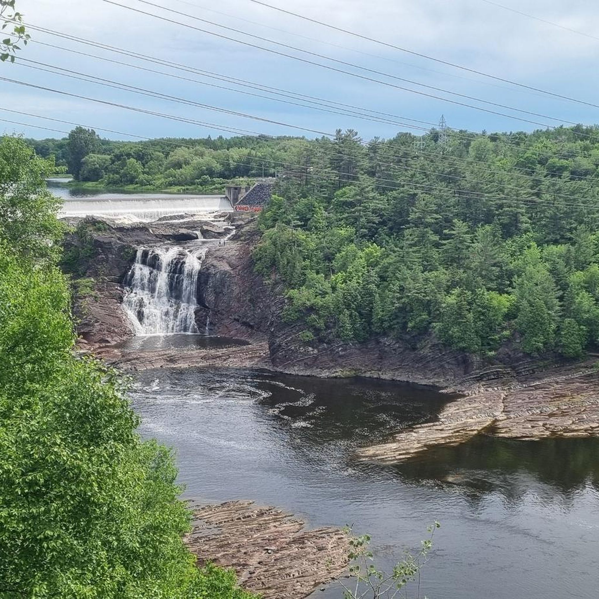
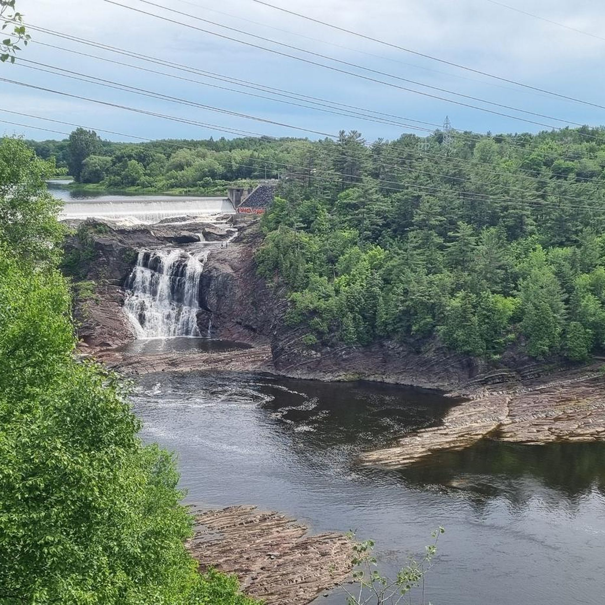
Road cycling routes in Saint-Lambert-de-Lauzon offer panoramic views of the Chaudière River valley and agricultural countryside. Notable spots include the Halte Nature Belle-Vue, which provides beautiful river views and access for watersports, and the Parc du Détroit de la Chaudière, known for its incredible river vistas and enhanced biodiversity. The Véloroute de la Chaudière itself traces the picturesque river, offering many scenic moments.
Are there circular road cycling routes available?
Yes, many road cycling routes in the area are designed as loops, allowing you to start and end at the same point. Examples include the Ruisseau Carter – Rivière Chassé loop from Parc industriel Saint-Isidore (77.5 km) and the Ruisseau Carter loop from Saint-Lambert-de-Lauzon (71.4 km).
Where can I find parking or public transport options for accessing the routes?
While specific parking details for each trailhead are not always listed, many routes, especially those starting from parks or industrial areas like Parc industriel Saint-Isidore, typically offer parking facilities. For public transport, options may be limited in this rural region, so driving to a starting point is often the most convenient way to access the routes.
Are there places to stop for refreshments or accommodation along the routes?
Along the Véloroute de la Chaudière and other routes, you'll find rest stops and opportunities to visit local villages. While specific cafes or pubs are not detailed for every route, the region's towns and villages, including Saint-Lambert-de-Lauzon itself, offer amenities for refreshments and accommodation. A repair station is also available at 1265, rue des Érables.
Are road cycling routes in Saint-Lambert-de-Lauzon dog-friendly?
While many outdoor areas in Quebec are generally dog-friendly, specific regulations for cycling paths can vary. It's always best to check local signage or municipal guidelines for the particular route you plan to ride to ensure dogs are permitted, especially on shared paths like the Véloroute de la Chaudière. Always keep dogs on a leash and clean up after them.
What do other road cyclists say about the routes in Saint-Lambert-de-Lauzon?
The road cycling routes in Saint-Lambert-de-Lauzon are highly regarded by the komoot community, boasting an average rating of 4.3 out of 5 stars from over 20 reviews. More than 800 road cyclists have explored the varied terrain, often praising the tranquil rural setting, scenic river views, and the mix of paved and unpaved sections that offer a diverse riding experience.
Most popular routes around Saint-Lambert-de-Lauzon

Get inspired with the komoot mobile app


Explore more
Browse the best Road cycling routes in other regions.
