The best running trails around Château-Richer
4.3
(7)
674
runners
18
runs
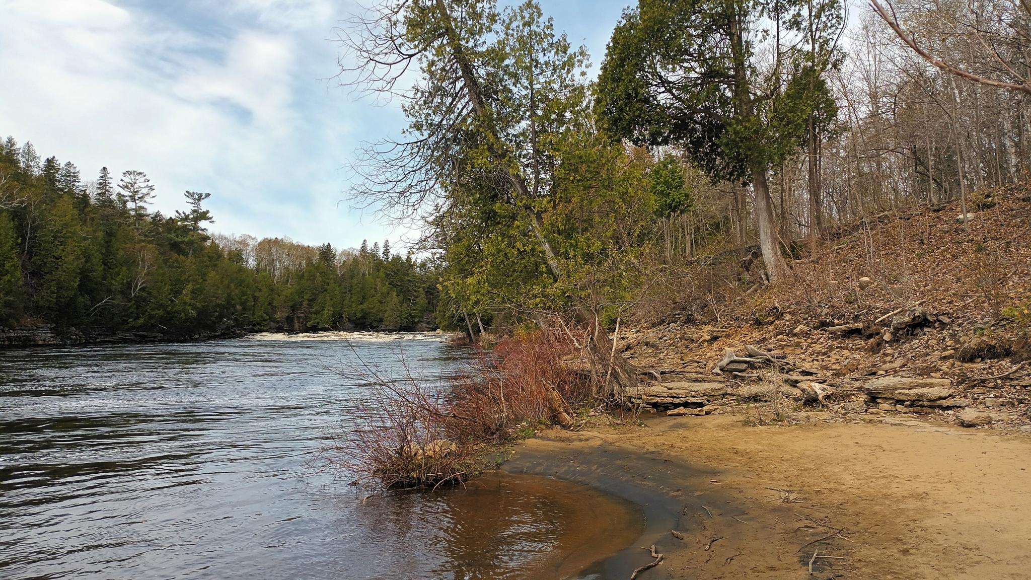
Jogging routes around Château-Richer offer diverse terrain, from the scenic St. Lawrence River shoreline to the foothills of the Laurentian Mountains. The region is characterized by rolling hills, extensive forest trails, and the varied landscapes of the Côte-de-Beaupré. Runners can explore areas like Mont Sainte-Anne, known for its network of paths, and the natural features surrounding Camp Mercier, providing a mix of elevation and flatter sections.
Best jogging routes around Château-Richer
- The most popular jogging route is Running loop from…
Last updated: October 7, 2026
25
runners
16.4km
01:49
240m
240m
Hard run. Very good fitness required. Mostly paved surfaces. Suitable for all skill levels.
4.0
(1)
28
runners
10.3km
01:08
90m
90m
Moderate run. Good fitness required. Mostly paved surfaces. Suitable for all skill levels.

5.0
(1)
21
runners
20.9km
02:19
300m
300m
Hard run. Very good fitness required. Mostly paved surfaces. Suitable for all skill levels.
4.0
(1)
25
runners
7.74km
00:50
110m
110m
Moderate run. Good fitness required. Mostly paved surfaces. Suitable for all skill levels.
20
runners
11.1km
01:32
360m
360m
Hard run. Very good fitness required. Mostly paved surfaces. Suitable for all skill levels.
Get access to more routes and recommendations from other explorers.
Already have an account?
Our route recommendations are based on thousands of hikes, rides, and runs completed by other people on komoot.
Start today with a free account
Your next adventure awaits.

Frequently Asked Questions
How many running routes are available in Château-Richer?
Château-Richer offers a wide selection of running routes, with over 20 trails available for exploration. These routes cater to various skill levels, from easy paths to more challenging ascents.
What kind of terrain can I expect on running routes near Château-Richer?
The region boasts diverse terrain, ranging from the scenic St. Lawrence River shoreline to the foothills of the Laurentian Mountains. You'll encounter rolling hills, extensive forest trails, and varied landscapes of the Côte-de-Beaupré. Areas like Mont Sainte-Anne and Camp Mercier provide a mix of elevation and flatter sections, ensuring a varied running experience.
Are there any easy or beginner-friendly running paths in the area?
Yes, Château-Richer has options for all ability levels. For a moderate and accessible experience, consider the Running loop from Restaurant l'Anecdote, which is 10.3 km (6.4 miles) with less elevation gain. The Mont Sainte-Anne area also features easier paths like "La Pichard," an easy 4km trail at its base.
Can I find running routes with scenic viewpoints or natural attractions?
Absolutely! Many running routes in Château-Richer offer stunning vistas. The Mont Sainte-Anne summit provides breathtaking panoramic views of the St. Lawrence River and the Quebec City region. The Côte-de-Beaupré also features several scenic viewpoints, such as those along the Sentier des Caps, offering expansive views of the St. Lawrence River. You can also explore the natural areas around Lac Caché on routes like the Lac Caché loop from Camp Mercier.
Are there any waterfalls accessible from running trails?
Yes, the region is home to impressive waterfalls. While not directly on a running trail, the area around Montmorency Falls offers opportunities for scenic walks and shorter jogs, with a comfortable wooden walkway leading to viewpoints. Just steps from Mont-Sainte-Anne, you can also find the beautiful Jean-Larose Falls, accessible via a short forest walk.
Are the running trails around Château-Richer suitable for families with children?
While specific family-friendly running routes are not detailed, the region offers diverse trails. Easier paths at the base of Mont Sainte-Anne, like "La Pichard," could be suitable for families. The scenic walks around Montmorency Falls also provide a pleasant outdoor experience for all ages.
Are dogs allowed on the running trails in Château-Richer?
Information regarding dog-friendly policies varies by specific trail and park regulations. It's always recommended to check with the local park authorities or trail management for the most up-to-date rules on bringing dogs, especially in protected areas like the Réserve faunique des Laurentides where Camp Mercier is located.
Are there circular running routes available?
Yes, many of the running routes in Château-Richer are designed as loops. Examples include the popular Running loop from Camp Mercier, the Running loop from Restaurant l'Anecdote, and the Lac Caché loop from Camp Mercier, all offering a convenient circular experience.
What is the best time of year to go running in Château-Richer?
Château-Richer offers great running opportunities throughout the warmer months, typically from spring to fall, when trails are clear of snow and ice. The diverse landscapes provide beautiful scenery during these seasons. While some trails might be accessible in winter for snowshoeing or cross-country skiing, dedicated winter running might require specific gear and conditions.
Is parking available at the trailheads for running routes?
Yes, parking is generally available at popular trailheads. For instance, routes originating from Camp Mercier, such as the Running loop from Camp Mercier, typically have designated parking facilities. It's advisable to check specific route details for parking information before your run.
How can I reach the running routes using public transport?
While some routes might be accessible by public transport, many trailheads in more natural or mountainous areas like Camp Mercier or Mont Sainte-Anne are best reached by car. For routes closer to towns or along the Route de la Nouvelle-France, local bus services might offer closer access. It's recommended to research local transit options for your specific starting point.
What do other runners say about the trails in Château-Richer?
The running routes in Château-Richer are highly rated by the komoot community, with an average score of 3.8 stars from 5 reviews. Over 600 runners have used komoot to explore the varied terrain, often praising the diverse landscapes and the extensive trail systems available.
Are there challenging running routes for experienced runners?
Definitely. For experienced runners seeking a challenge, Château-Richer offers several difficult routes. The Running loop from Camp Mercier (16.5 km) and the Lac Caché loop from Camp Mercier (20.9 km) feature significant elevation gain. Mont Sainte-Anne also provides more rugged trail running experiences, including the 12 km "Mestachibo trail" and the steeper 9 km "La Libériste" to the summit.
Can I combine running with exploring historical sites in the region?
Yes, the historic Route de la Nouvelle-France winds through cultural, heritage, and agricultural sites, presenting a unique backdrop for a jog through history. This route is adorned with 17th and 18th-century historical houses, offering a charming cultural element to your outdoor activity.
Are there options for longer distance running?
Yes, for those looking for longer distances, Château-Richer has several options. The Lac Caché loop from Camp Mercier is a substantial 20.9 km (13.0 miles) trail, and the Running loop from Camp Mercier is 16.5 km (10.2 miles), both offering extended running experiences through natural areas.
Most popular attractions around Château-Richer

Get inspired with the komoot mobile app


Explore more
Browse the best Running Trails & Routes in other regions.
