The best road cycling routes around Steirersee
3.9
(11)
437
riders
4
rides
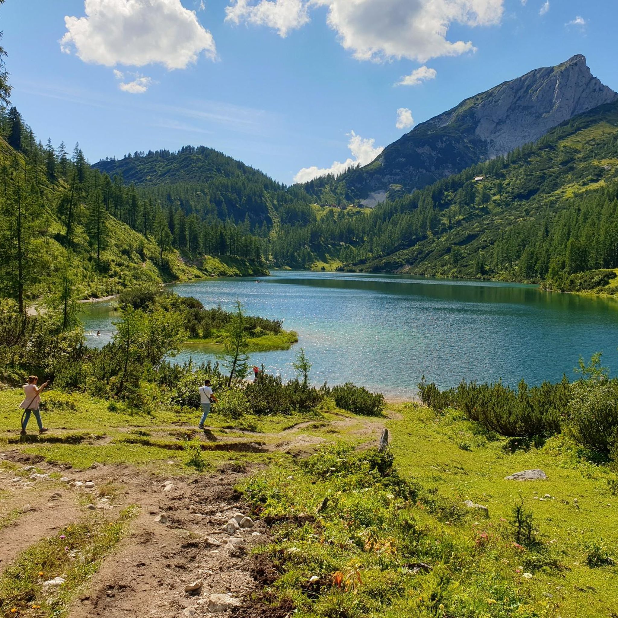
Road cycling around Steirersee offers routes through the high plateau of Tauplitzalm, nestled within Styria's Totes Gebirge mountain range. The region is characterized by challenging alpine roads, including the Tauplitzalm Alpenstraße with its significant elevation gain, and serene alpine meadows. Road cyclists can expect well-maintained surfaces and varied terrain, from demanding climbs to more leisurely stretches. The landscape features rugged peaks, karstic lakes, and views of the majestic Grimming massif.
Best road cycling routes around Steirersee
- The most popular road…
Last updated: October 8, 2026
5.0
(1)
117
riders
21.3km
01:33
790m
790m
Moderate road ride. Good fitness required. Mostly well-paved surfaces and easy to ride.
5.0
(3)
135
riders
35.1km
02:16
950m
950m
Hard road ride. Very good fitness required. Some segments of this route may be unpaved and difficult to ride.

4.7
(3)
97
riders
68.0km
03:05
540m
540m
Moderate road ride. Good fitness required. Mostly well-paved surfaces and easy to ride.
7
riders
Moderate road ride. Great for any fitness level. Some segments of this route may be unpaved and difficult to ride.
1.7
(3)
54
riders
42.6km
02:29
600m
600m
Moderate road ride. Good fitness required. Some segments of this route may be unpaved and difficult to ride.
Our route recommendations are based on thousands of hikes, rides, and runs completed by other people on komoot.
Start today with a free account
Your next adventure awaits.
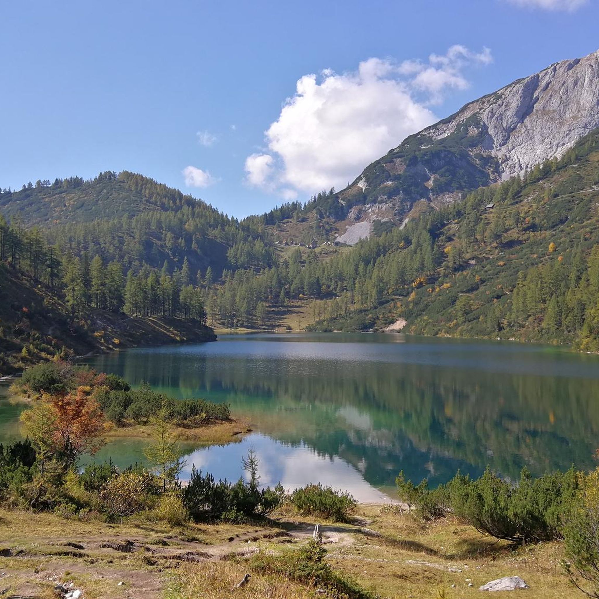
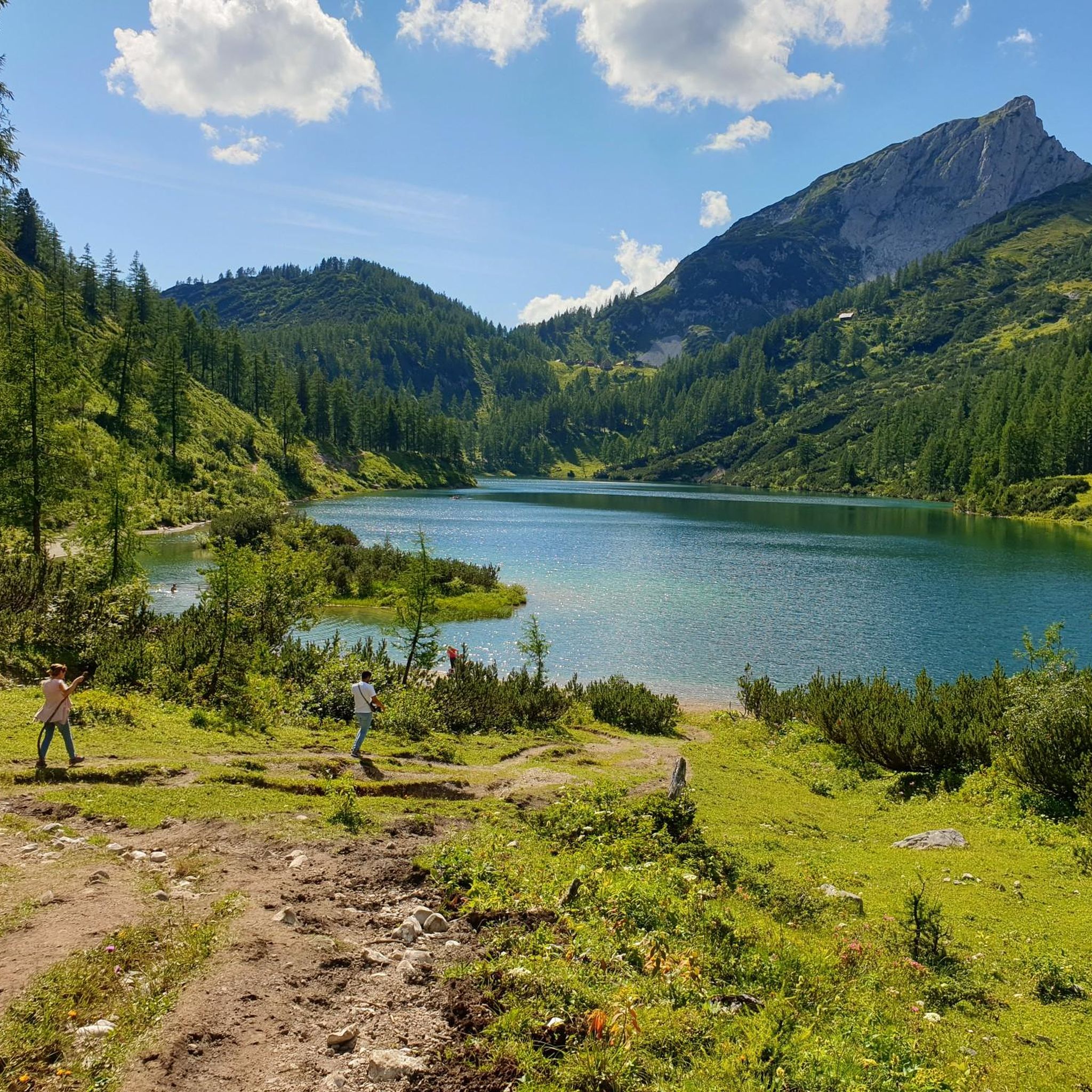
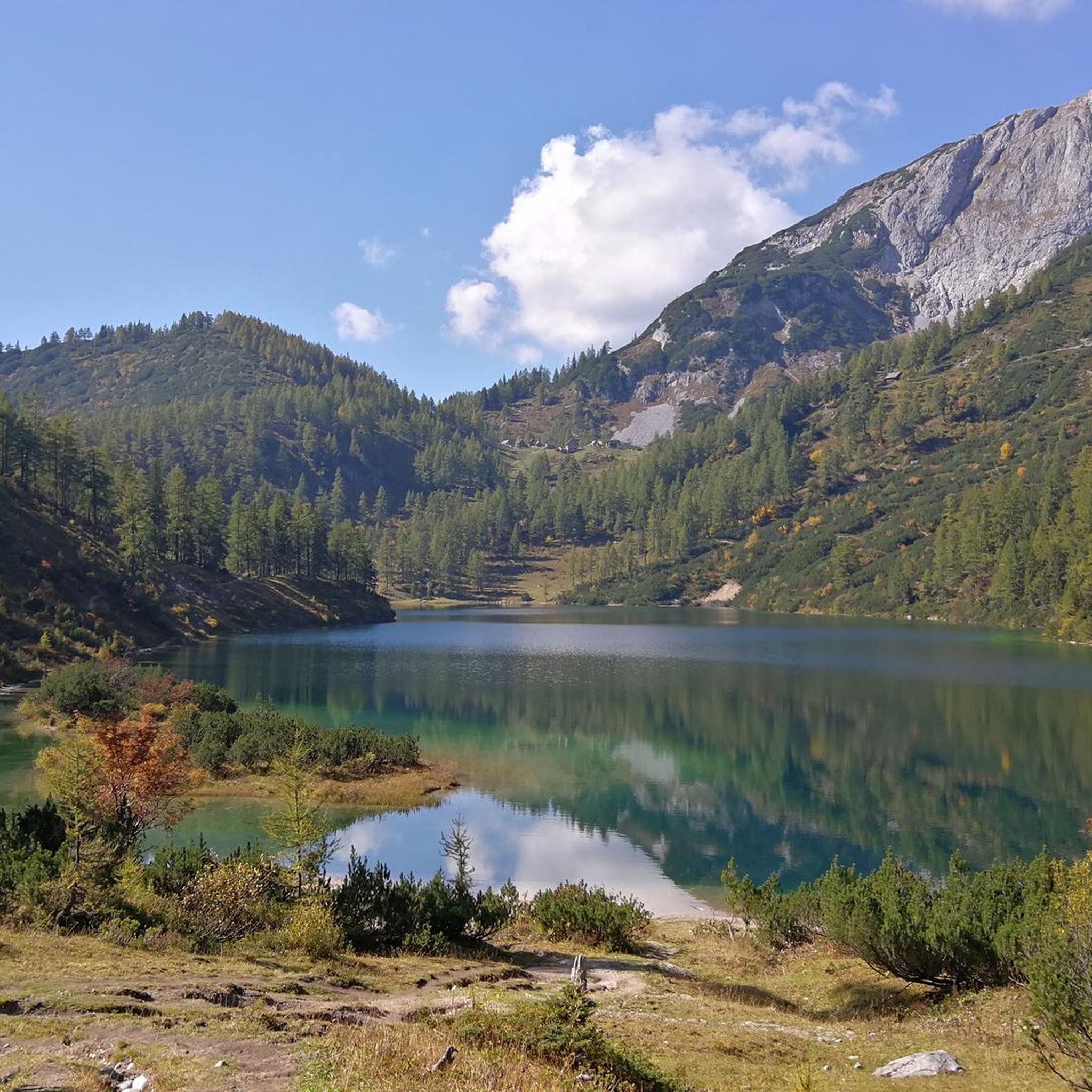
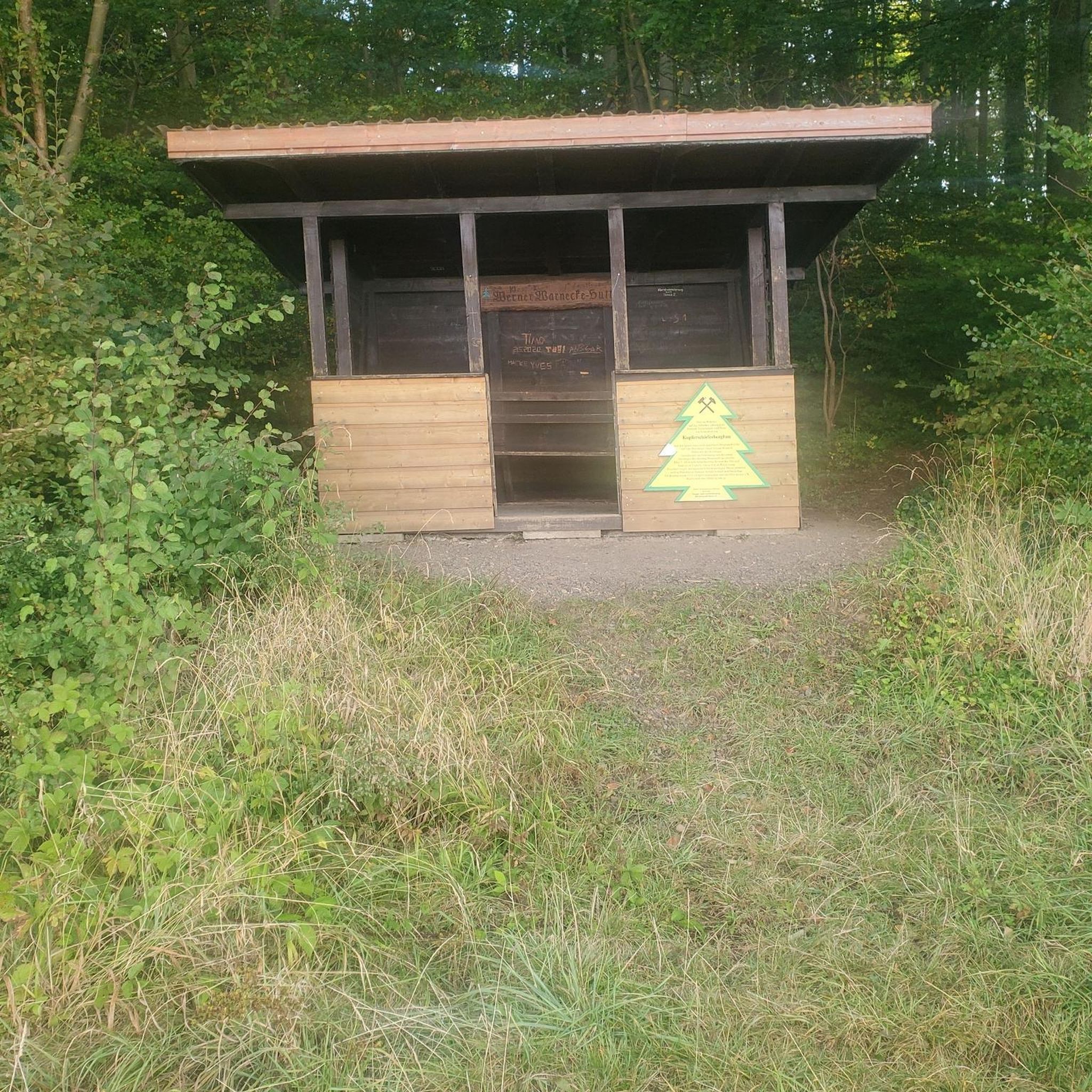

Tips from the Community

Many options for hiking short, long loops or summits.
0
0

To drive underneath you need 🥚🥚
0
0

Cycling is prohibited from the parking lot, but as long as you stay on the road to Steirersee and cycle carefully and at a leisurely pace, there will be no problems.
0
0

Ready for this scenic, yet strenuous climb? 9.9 kilometers, over 800 meters of elevation gain, and an average gradient of 8.1 percent. The toll road winds its way through the forest in beautiful switchbacks – a stunning panorama awaits at the top. Start early, bring water – there are no supplies along the way!
1
0

scenically beautiful endpoint with a view of the Dachstein after a long but beautiful ascent with the MTB
0
0

There is a small tent with food at the camping area, and there is also a small pump track for children
0
0


Frequently Asked Questions
How many road cycling routes are available around Steirersee?
The Steirersee region offers a selection of road cycling routes. Currently, there are 4 curated routes available, ranging from moderate to difficult, allowing cyclists to explore the diverse landscapes.
What is the best time of year for road cycling in the Steirersee region?
The best time for road cycling around Steirersee is typically from late spring through early autumn. During these months, the Tauplitzalm Alpenstraße is usually open, and the weather conditions are most favorable for tackling the challenging alpine climbs and enjoying the high plateau.
What makes road cycling around Steirersee unique?
Road cycling around Steirersee is unique due to its combination of challenging alpine roads, such as the demanding Tauplitzalm Alpenstraße, and serene stretches through alpine meadows on the Tauplitzalm high plateau. Cyclists can experience significant elevation gains, breathtaking views of the Totes Gebirge, and the majestic Grimming massif, all on well-maintained roads with generally low traffic.
Are there challenging road cycling routes with significant climbs near Steirersee?
Yes, the region is known for its challenging climbs. The Tauplitzalm Alpenstraße is a prime example, featuring an average gradient of 8.1% over 9.9 kilometers with sections up to 14.2%. For a difficult loop with significant elevation, consider the Kulm Ski Flying Hill – Kulm Ski Flying Hill loop from Skiflugschanze Kulm, which includes nearly 1000 meters of climbing.
Are there any moderate road cycling options for less experienced riders?
While the region features demanding climbs, there are also moderate options. The Tauplitzalm parking lot – Tauplitzalm loop from Krallersee is a moderate 21.3 km route that explores the high plateau, offering a less strenuous experience once the initial ascent to the Tauplitzalm is completed. Another moderate option is the Old Federal Road at Grimming – Trautenfels Castle loop from Skiflugschanze Kulm.
What natural features or landmarks can I see while road cycling in the Steirersee area?
Road cycling routes in the Steirersee area offer stunning views of the Totes Gebirge mountain range, including peaks like Sturzhahn and Mitterberg. You can also see the vast alpine meadows of the Tauplitzalm, and some routes provide views of the impressive Grimming massif. The region is part of the Salzkammergut UNESCO World Heritage site, known for its outstanding natural beauty.
What are the parking options for road cyclists in the Steirersee region?
Parking is generally available at key starting points for routes. For example, the Tauplitzalm Alpenstraße has parking facilities at its base and at the top. For specific routes, such as the Kulm Ski Flying Hill – Kulm Ski Flying Hill loop, parking is available at Skiflugschanze Kulm.
Is public transport an option for reaching road cycling routes around Steirersee?
Yes, public transport can be an option. From the Tauplitzalm, cyclists can descend to Bad Mitterndorf, which is a regional hub. Some local bus services might accommodate bikes, but it's advisable to check specific routes and schedules in advance, especially for reaching higher elevations like the Tauplitzalm plateau.
Can I find circular road cycling routes around Steirersee?
Yes, several routes are designed as loops, allowing you to start and end at the same point. Examples include the moderate Tauplitzalm parking lot – Tauplitzalm loop from Krallersee and the more challenging View of Kulmkogel – Along the Enns River loop from Tauplitz, which also features stretches along the Enns River.
Are there places to stop for refreshments or accommodation along the road cycling routes?
The Tauplitzalm plateau, after the ascent, offers several alpine huts and guesthouses where you can find refreshments and, in some cases, accommodation. In the valleys, towns like Bad Mitterndorf and Tauplitz provide a wider range of cafes, restaurants, and lodging options for cyclists.
What do other road cyclists appreciate most about the routes around Steirersee?
The road cycling routes around Steirersee are highly rated by the komoot community, with an average score of 4.5 stars. Cyclists often praise the challenging yet rewarding climbs, the stunning alpine scenery, the well-maintained road surfaces, and the relatively low traffic, especially on the Tauplitzalm Alpenstraße.
Are there routes that offer views of the Grimming massif?
Yes, the broader Tauplitz and Styria region offers routes with views of the majestic Grimming massif. For instance, the View of Kulmkogel – Kulm Ski Flying Hill loop from Bad Mitterndorf provides opportunities to see this impressive mountain while cycling through varied landscapes.
What is the Tauplitzalm Alpenstraße like for road cyclists?
The Tauplitzalm Alpenstraße is a highly regarded and challenging ascent for road cyclists. It's a 9.9-kilometer climb with an average gradient of 8.1% and an elevation gain of 805 meters, featuring eight hairpin bends and sections up to 14.2%. The road surface is well-maintained, and traffic is generally low, offering a strenuous but incredibly scenic experience to reach the high plateau.
Most popular routes around Steirersee

Get inspired with the komoot mobile app


Explore more
Browse the best Road cycling routes in other regions.
