The best walks and hikes around Lac-Jacques-Cartier
4.5
(232)
5,028
hikers
31
hikes
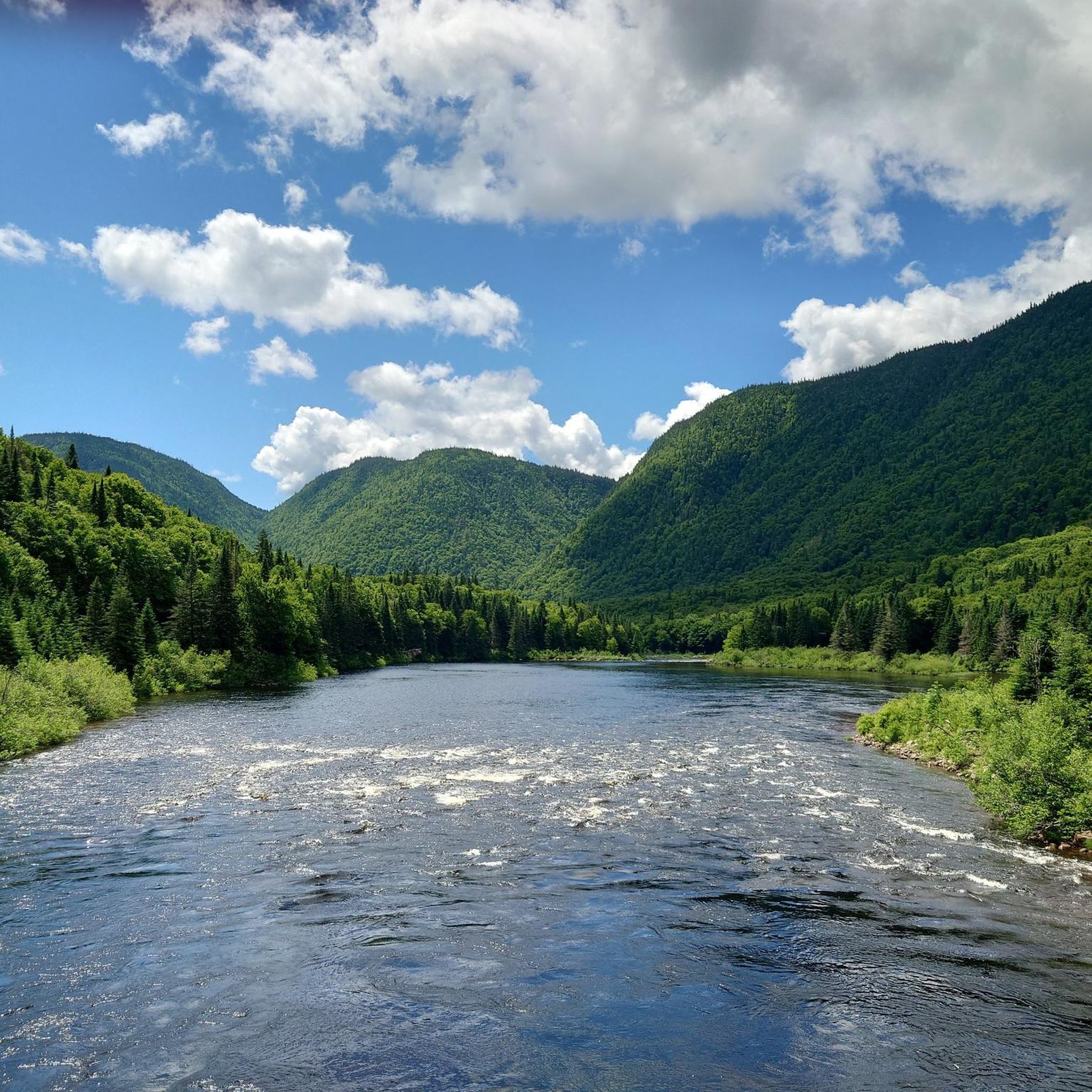
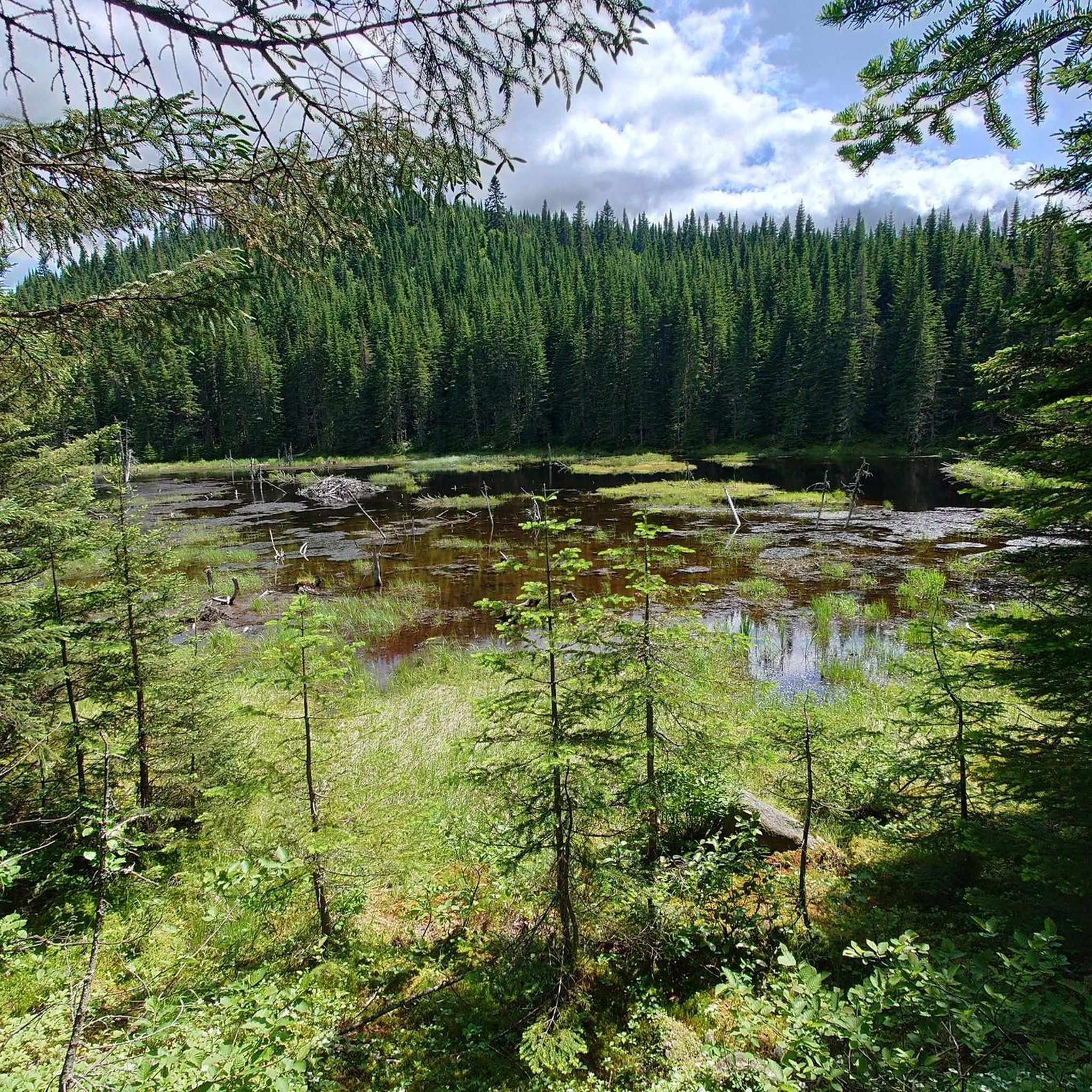
Hiking around Lac-Jacques-Cartier offers a diverse landscape characterized by deep glacial valleys, dense boreal forests, and numerous rivers. The region is part of a national park, providing well-maintained trails through varied terrain. Hikers can expect to encounter a mix of gentle riverside paths and more challenging ascents to elevated viewpoints. The area's topography includes significant elevation changes, contributing to a dynamic hiking experience.
Best hiking trails around Lac-Jacques-Cartier
- The most popular hiking route is Sentier Les Loups – Jacques Cartier National Park, a 6.1 miles (9.8 km) trail that takes 3 hours 34 minutes to complete. This moderate route offers panoramic views of the Jacques-Cartier River valley.
- Another top favourite among local hikers is Sautauriski Bridge – Les Érables Trail loop from Bloc sanitaire Alluvions Sud, a moderate 8.3 miles (13.4 km) path. This trail winds through maple forests and crosses the Sautauriski River, providing varied forest and riverside scenery.
- Local hikers also love the Jean-Larose Falls loop from Habitations Boivin, a 4.0 miles (6.4 km) trail leading through forested areas to a series of waterfalls, often completed in about 1 hour 50 minutes.
- Hiking around Lac-Jacques-Cartier is defined by glacial valleys, dense boreal forests, and river systems. The network offers options for easy, moderate, and difficult trails, catering to various ability levels.
- The routes in Lac-Jacques-Cartier are highly rated by the komoot community with an average score of 4.5 stars from over 200 reviews. More than 4000 hikers have used komoot to explore Lac-Jacques-Cartier's varied terrain.
Last updated: May 22, 2026
4.6
(23)
821
hikers
9.85km
03:35
450m
450m
Moderate hike. Good fitness required. Mostly accessible paths. Sure-footedness required.
4.6
(35)
545
hikers
Moderate hike. Good fitness required. Easily-accessible paths. Suitable for all skill levels.

Sign up for free
4.9
(21)
426
hikers
11.4km
03:28
370m
370m
Moderate hike. Good fitness required. Easily-accessible paths. Suitable for all skill levels.
4.6
(10)
206
hikers
6.41km
01:51
160m
160m
Easy hike. Great for any fitness level. Easily-accessible paths. Suitable for all skill levels.
5.0
(5)
185
hikers
16.1km
04:53
540m
540m
Moderate hike. Good fitness required. Easily-accessible paths. Suitable for all skill levels.
Get access to more routes and recommendations from other explorers.
Sign up for free
Already have an account?
Our route recommendations are based on thousands of hikes, rides, and runs completed by other people on komoot.
Start today with a free account
Your next adventure awaits.
Login or Signup

Tips from the Community

the most beautiful hike
0
0

The panorama here encompasses everything that makes Jacques Cartier National Park so special: the vast mountain plateau with its deep gorges and wild rivers.
2
0
In the Jacques Cartier National Park, not only the river of the same name and the mighty valley are eye-catchers, the forest paths are also fun.
0
0
Here at the first viewpoint you look down on the valley and see how the Rivière Jacques-Cartier has dug deep into the plateau.
0
0

In addition to the information about the Jacques-Cartier National Park, you can rent snowshoes, canoes, SUPs, sledges and much more. There are also accommodation options, but these must be reserved well in advance.
1
0

The Le Loups Trail consists of 2 lookouts, we followed the recommendation to only head for the first lookout from the parking lot - the second is probably similar with the double route and ascent
0
0
The first lookout comes after about 3 kilometers, we followed the recommendation to only look at the first lookout of the whole trail.
0
0

An essential place to get information about the national park.
2
0
Frequently Asked Questions
How many hiking trails are there in Lac-Jacques-Cartier?
The Lac-Jacques-Cartier region offers a wide variety of hiking experiences, with over 30 distinct trails available. These range from easy strolls to more challenging ascents, catering to different fitness levels.
What types of trails can I expect in Lac-Jacques-Cartier?
You'll find a diverse range of trails, from gentle riverside paths to more challenging routes with significant elevation changes. There are 11 easy trails, 16 moderate trails, and 4 difficult trails, ensuring options for every hiker. The landscape is characterized by deep glacial valleys, dense boreal forests, and numerous rivers.
Are there any easy trails suitable for beginners or families?
Yes, there are 11 easy trails perfect for beginners or families. One popular option is the Jean-Larose Falls loop from Habitations Boivin, which is 4.0 miles (6.4 km) and leads to beautiful waterfalls. Another easy route is the Hiking loop from Saint-Ferréol-les-Neiges.
Are there any circular hiking routes in the area?
Yes, many trails in Lac-Jacques-Cartier are designed as loops, offering varied scenery without retracing your steps. A great example is the Sautauriski Bridge – Les Érables Trail loop from Bloc sanitaire Alluvions Sud, which is a moderate 8.3 miles (13.4 km) path winding through maple forests and crossing the Sautauriski River.
Are there any trails with waterfalls in Lac-Jacques-Cartier?
Absolutely! The Jean-Larose Falls loop from Habitations Boivin is a popular 4.0 miles (6.4 km) trail that takes you directly to a series of stunning waterfalls. You can also visit the Sainte-Anne Waterfalls, which are a notable attraction in the region.
What are some notable viewpoints or attractions along the trails?
The region offers several scenic viewpoints. The Sentier Les Loups – Jacques Cartier National Park trail provides panoramic views of the Jacques-Cartier River valley, including the Les Loups Second Lookout and the Jacques-Cartier River viewpoint. The Discovery and Service Center, Jacques-Cartier National Park is also a good starting point for information.
Can I bring my dog on the hiking trails in Lac-Jacques-Cartier?
Jacques-Cartier National Park has specific regulations regarding pets. While dogs are generally allowed in certain areas and on some trails, it's crucial to check the park's official website or contact the Discovery and Service Center for the most up-to-date information on dog-friendly trails and leash requirements before your visit.
Do I need a permit to hike in Lac-Jacques-Cartier?
As Lac-Jacques-Cartier is part of a national park, a park entry fee or permit is required for access to the trails and facilities. You can typically purchase these at the park entrance or visitor centers. It's advisable to check the official park website for current rates and any advance booking requirements, especially during peak seasons.
What is the best time of year to hike in Lac-Jacques-Cartier?
The best time to hike largely depends on your preferences. Summer (June to August) offers warm weather and lush greenery, ideal for long days on the trails. Autumn (September to October) is spectacular for vibrant fall foliage. Spring (May to early June) brings wildflowers and fewer crowds, while winter offers opportunities for snowshoeing and cross-country skiing on designated trails.
Is winter hiking possible in Lac-Jacques-Cartier?
Yes, winter hiking and snowshoeing are popular activities in Lac-Jacques-Cartier. Many trails are maintained for winter use, offering a unique perspective of the snow-covered landscape. It's essential to be well-prepared with appropriate winter gear, including warm layers, waterproof boots, and potentially snowshoes or microspikes, depending on conditions. Always check trail conditions and park advisories before heading out.
What do other hikers say about the trails in Lac-Jacques-Cartier?
The trails in Lac-Jacques-Cartier are highly rated by the komoot community, with an average score of 4.5 stars from over 200 reviews. Hikers frequently praise the well-maintained paths, the stunning views of the glacial valleys and rivers, and the immersive experience within the dense boreal forests. Many appreciate the variety of trails available for different skill levels.
Where can I find parking for the hiking trails?
Within Jacques-Cartier National Park, designated parking areas are available at various trailheads and visitor centers. For example, the Sautauriski Bridge – Les Érables Trail loop starts from the Bloc sanitaire Alluvions Sud, which typically has parking facilities. It's always best to consult the park map or official website for specific parking locations for your chosen trail.
Most popular attractions around Lac-Jacques-Cartier

Get inspired with the komoot mobile app


Explore more
Browse the best Hikes in other regions.
