The best walks and hikes around Sainte-Christine-d'Auvergne
3.7
(4)
85
hikers
3
hikes
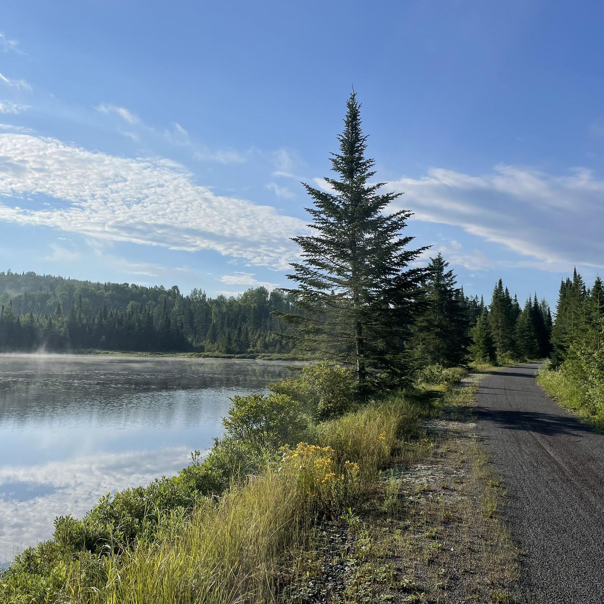
Hiking around Sainte-Christine-d'Auvergne offers a variety of trails through a landscape characterized by hills, forests, and several lakes. The region features routes that explore natural water features and provide opportunities for outdoor activity. Elevation gains are generally moderate, making the area accessible for different hiking abilities.
Best hiking trails around Sainte-Christine-d'Auvergne
- The most popular hiking route is Ice Wall loop from Saint-Alban, a 2.8 miles (4.5 km) trail that takes 1 hour 10 minutes to complete. This easy route…
Last updated: July 1, 2026
5.0
(2)
48
hikers
4.54km
01:11
30m
30m
Easy hike. Great for any fitness level. Easily-accessible paths. Suitable for all skill levels.
4.0
(1)
21
hikers
9.26km
02:40
230m
230m
Moderate hike. Good fitness required. Easily-accessible paths. Suitable for all skill levels.

Sign up for free
2.0
(1)
11
hikers
9.70km
02:34
90m
90m
Moderate hike. Good fitness required. Easily-accessible paths. Suitable for all skill levels.
5
hikers
2.84km
00:46
40m
40m
Easy hike. Great for any fitness level. Easily-accessible paths. Suitable for all skill levels.
Our route recommendations are based on thousands of hikes, rides, and runs completed by other people on komoot.
Start today with a free account
Your next adventure awaits.
Login or Signup


Other adventures around Sainte-Christine-d'Auvergne

Frequently Asked Questions
How many hiking trails are available in Sainte-Christine-d'Auvergne?
There are several hiking routes in Sainte-Christine-d'Auvergne, with komoot currently featuring 4 distinct trails. These routes offer a variety of experiences through the region's hills, forests, and lakes.
Are there easy hiking trails suitable for beginners or families?
Yes, Sainte-Christine-d'Auvergne offers easy trails perfect for beginners or families. An excellent option is the Ice Wall loop from Saint-Alban, which is 2.8 miles (4.5 km) long and features natural ice formations. Another easy route is the Lac du Meunier loop from Lac du Meunier.
What is the typical duration for hikes in Sainte-Christine-d'Auvergne?
Hikes in Sainte-Christine-d'Auvergne vary in duration. Shorter, easy routes like the Ice Wall loop from Saint-Alban can be completed in about 1 hour 10 minutes. Longer, moderate trails such as the Montagne de la Tour loop from Section de l'Anse à Beaulieu might take around 2 hours 40 minutes, while the Lac Travers – Lac Noir loop from Lac Caribou typically takes about 2 hours 30 minutes.
Are there circular hiking routes in Sainte-Christine-d'Auvergne?
Yes, many of the trails in Sainte-Christine-d'Auvergne are circular, offering convenient starting and ending points. Examples include the Ice Wall loop from Saint-Alban, the Montagne de la Tour loop from Section de l'Anse à Beaulieu, and the Lac Travers – Lac Noir loop from Lac Caribou.
What kind of terrain can I expect on the trails?
The terrain in Sainte-Christine-d'Auvergne is characterized by hills, forests, and numerous lakes. You can expect varied paths, from relatively flat sections around lakes to moderate ascents on trails like the Montagne de la Tour loop from Section de l'Anse à Beaulieu, which ascends a hill.
What do other hikers enjoy most about hiking in Sainte-Christine-d'Auvergne?
The hiking routes in Sainte-Christine-d'Auvergne are highly rated by the komoot community, with an average score of 3.7 stars from 4 reviews. Hikers often praise the diverse landscape, featuring natural water features, forests, and the moderate accessibility of the trails.
Are there any trails that feature natural water elements?
Yes, the region is known for its natural water features. The Lac Travers – Lac Noir loop from Lac Caribou, for instance, leads through a landscape featuring multiple lakes. The Ice Wall loop from Saint-Alban also features unique natural ice formations.
When is the best time of year to hike in Sainte-Christine-d'Auvergne?
The best time to hike generally depends on your preference. Spring and autumn offer pleasant temperatures and beautiful scenery. However, given that one route features 'natural ice formations,' winter hiking might also be an option for those prepared for colder conditions and snow, offering a unique experience.
Is parking available at the trailheads?
While specific parking details for each trailhead are not provided, it is generally common for popular hiking areas in regions like Sainte-Christine-d'Auvergne to have designated parking areas near the start of trails, especially for routes named 'loop from Saint-Alban' or 'from Lac Caribou', suggesting accessible starting points.
What should I wear for hiking in this region?
Given the varied terrain of hills and forests, and the potential for different weather conditions, it's advisable to wear sturdy hiking shoes or boots, layered clothing, and bring rain gear. For winter hikes, appropriate cold-weather gear is essential, especially if exploring trails with ice formations.
Are there any longer, more challenging hikes for experienced hikers?
While there are no 'difficult' graded trails, experienced hikers can enjoy the moderate routes that offer more distance and elevation gain. The Montagne de la Tour loop from Section de l'Anse à Beaulieu, at 5.8 miles (9.3 km) with over 225 meters of elevation gain, provides a good challenge and varied terrain.
Most popular routes around Sainte-Christine-d'Auvergne

Get inspired with the komoot mobile app


Explore more
Browse the best Hikes in other regions.
