The best mountain hikes around Altausseer Lake
4.5
(99)
1,478
hikers
40
hikes
Mountaineering routes around Altausseer Lake traverse a landscape dominated by the crystal-clear, dark blue alpine lake, situated at the foot of the Totes Gebirge mountain range. The region features prominent peaks such as Loser Mountain to the north and the impressive Trisselwand to the east, which rises dramatically above the lake with a 600-meter high rock face. The surrounding area includes largely undeveloped shores, wetlands, and a horseshoe-shaped ring of mountains, offering diverse terrain for mountaineering. The majestic Dachstein glacier…
Last updated: October 8, 2026
5.0
(1)
68
hikers
13.6km
06:25
1,010m
1,010m
Hard mountaineering route. Very good fitness required. Sure-footedness, sturdy shoes and alpine experience required.
4.5
(4)
50
hikers
13.1km
05:56
1,120m
1,120m
Hard mountaineering route. Very good fitness required. Mostly accessible paths. Sure-footedness required.

4.7
(3)
9
hikers
6.00km
02:25
380m
380m
Moderate mountaineering route. Good fitness required. Mostly accessible paths. Sure-footedness required.
4.7
(14)
225
hikers
7.81km
04:25
750m
750m
Hard mountaineering route. Good fitness required. Sure-footedness, sturdy shoes and alpine experience required.
4.9
(13)
138
hikers
5.16km
02:32
400m
400m
Hard mountaineering route. Good fitness required. Sure-footedness, sturdy shoes and alpine experience required.
Get access to more routes and recommendations from other explorers.
Already have an account?
Our route recommendations are based on thousands of hikes, rides, and runs completed by other people on komoot.
Start today with a free account
Your next adventure awaits.
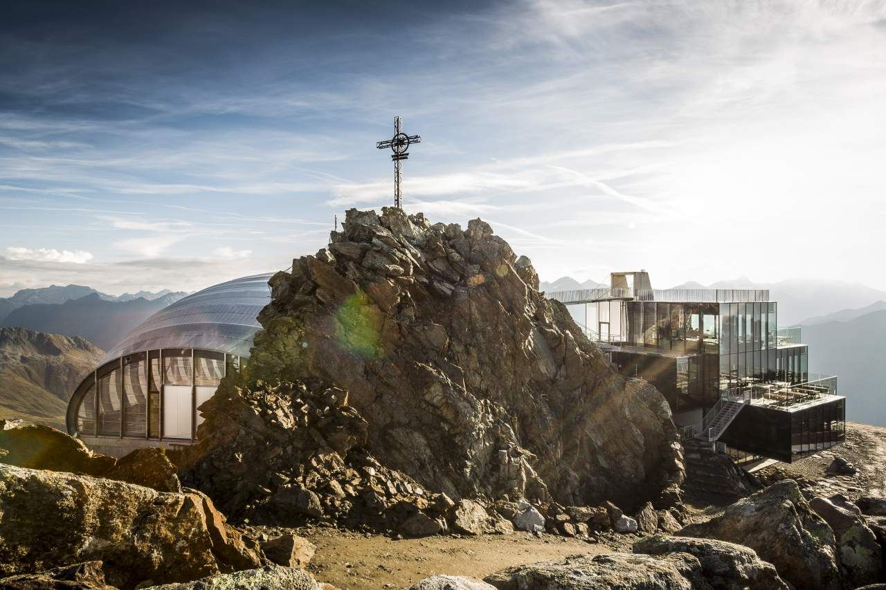
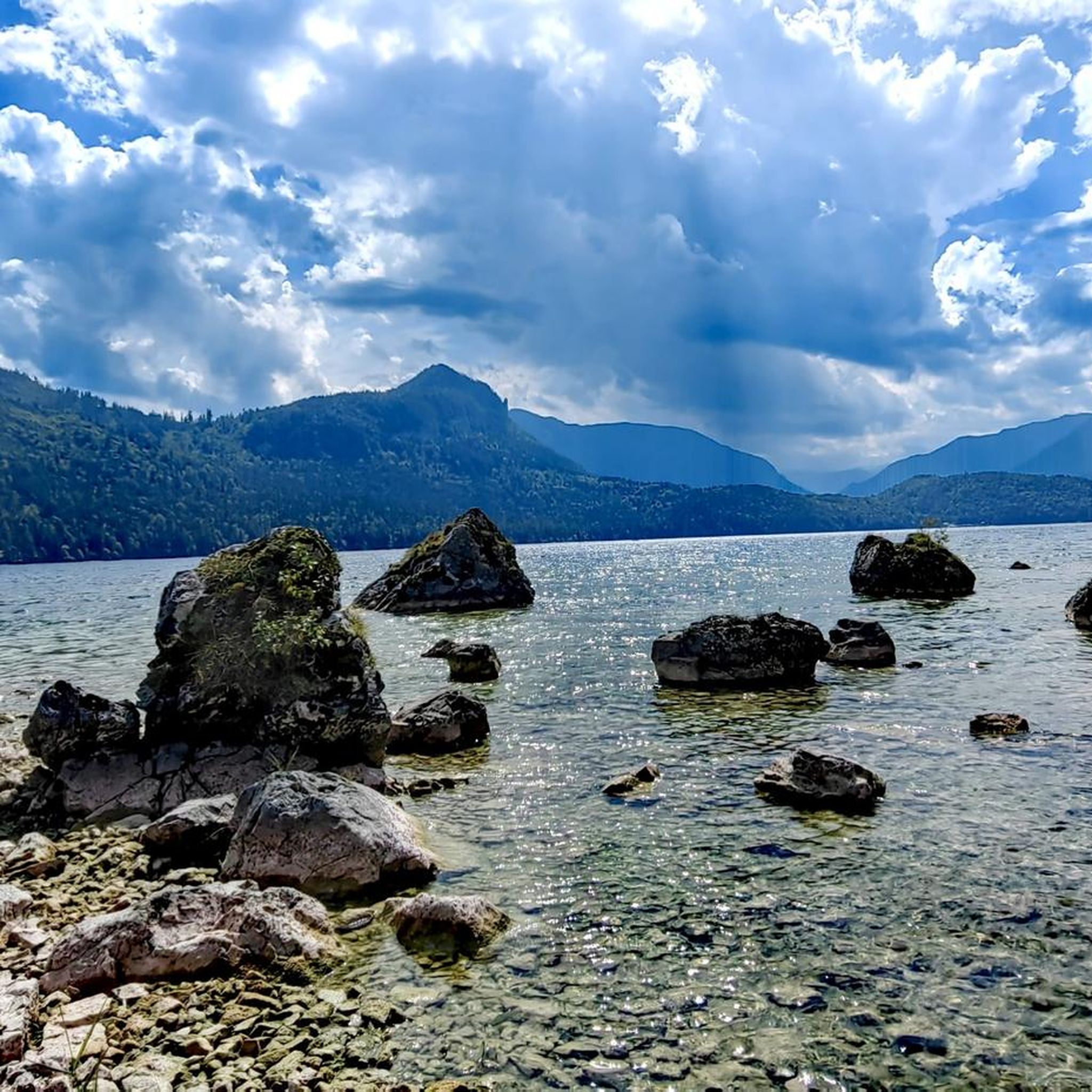
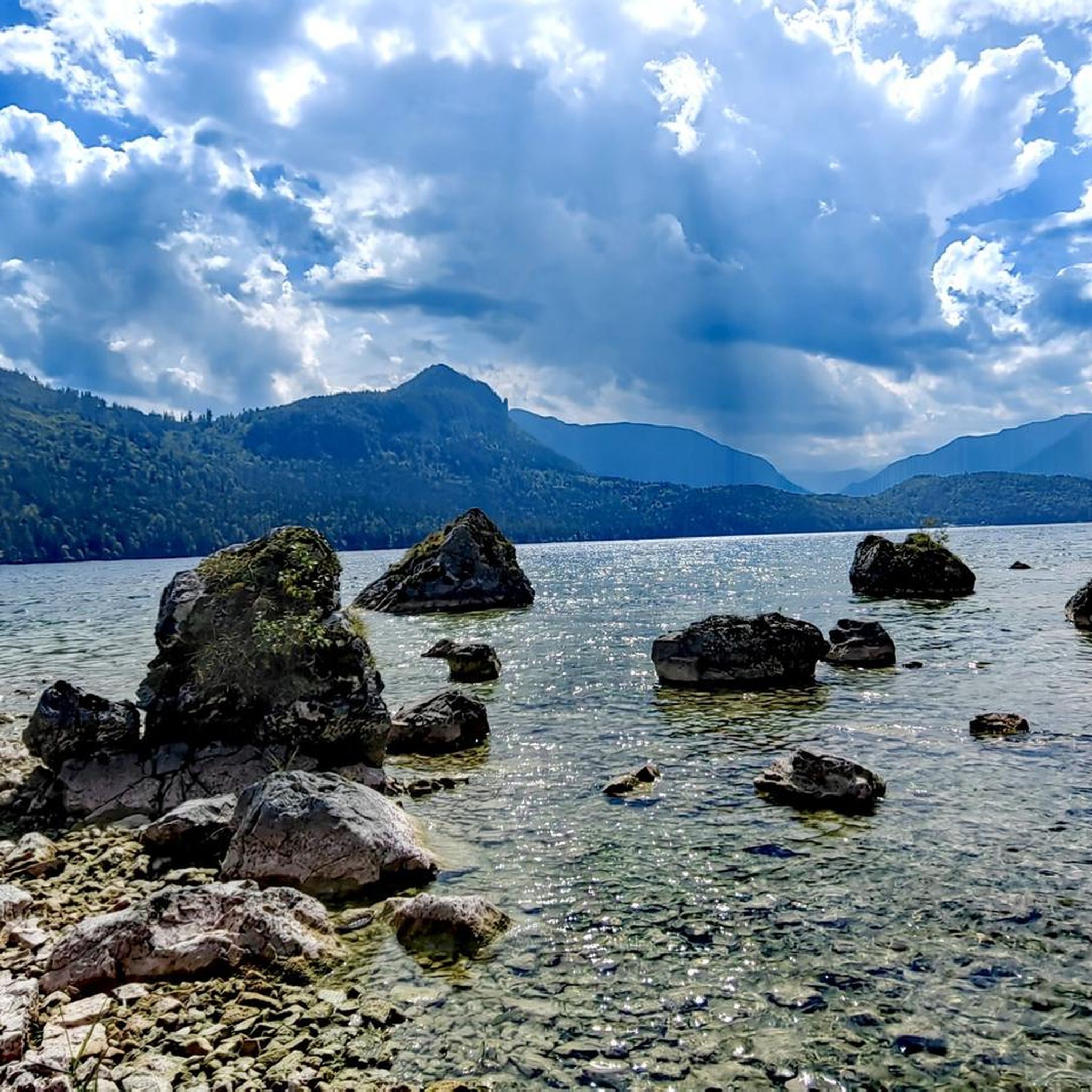
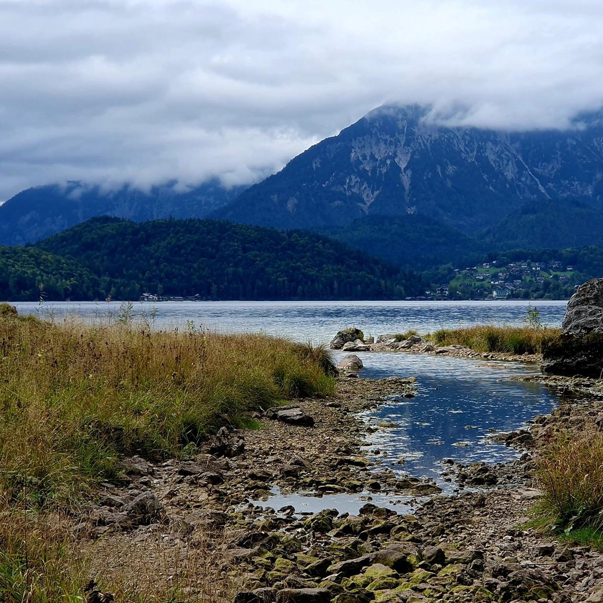
Other adventures around Altausseer Lake

Tips from the Community

I didn't struggle with the elevation difference, but walking on the rocky terrain was quite tough. Of course, the ascent, but the descent wasn't easy either. Still, the cross on the summit gives a sense of accomplishment.
0
0

Simply enjoy this quiet and wonderful place. Regular sneakers are sufficient for a walk around Lake Aust.
0
1

The Ahornkogel can be reached in 5 minutes from the hiking trail to the Trisselwand.
0
0
Magnificent views of the Dachstein glacier, Totes Gebirge with Loser, Grimming, Schladminger Tauern, Grundsee and Altaussee and many more.
0
0

Very nice hut with good food and great view
1
0

The conditions for a day of snowshoeing in Altaussee are quickly created: simply ask at the reception of the AlpenParks Hagan Lodge Altaussee about rental equipment for snowshoeing. What you should bring with you: sturdy high hiking boots (not ski boots), appropriate hiking clothing, gloves, hat, sunglasses, small backpack with water bottle.
1
0

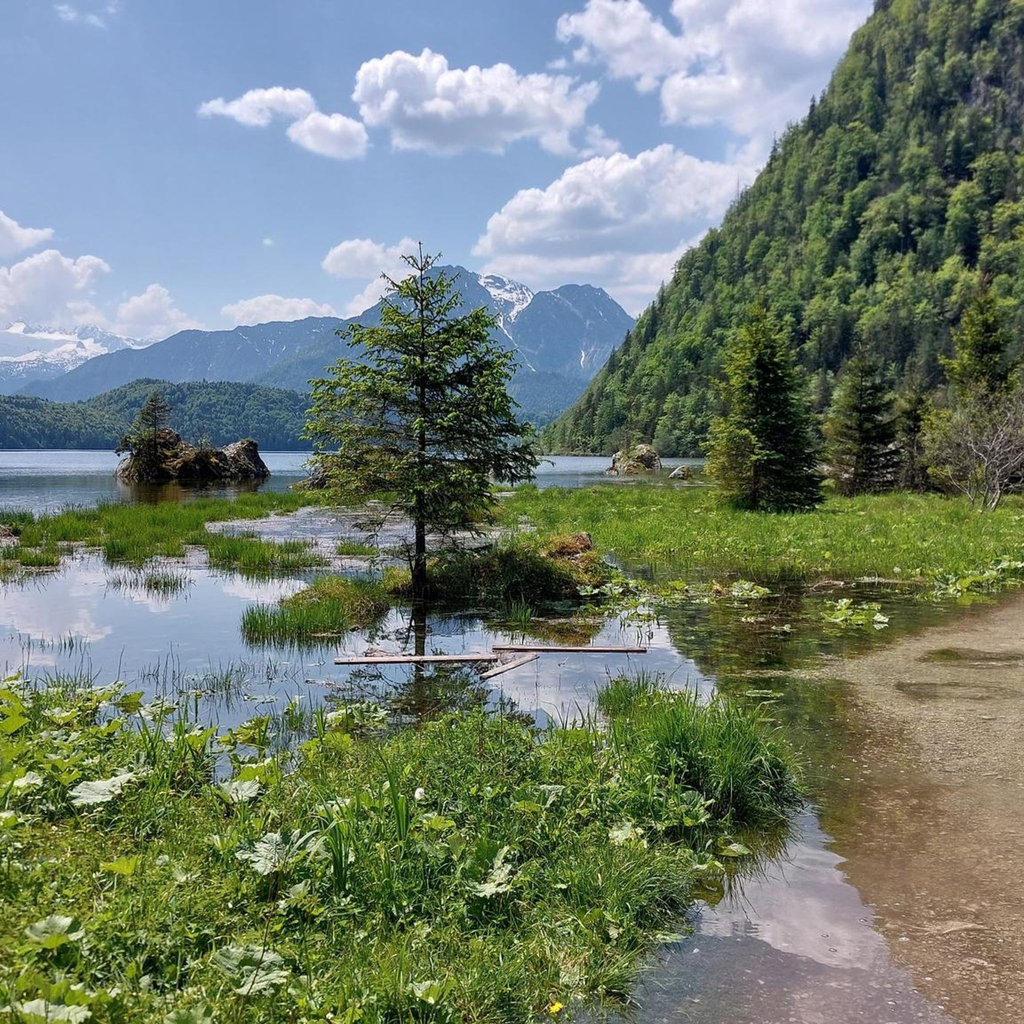
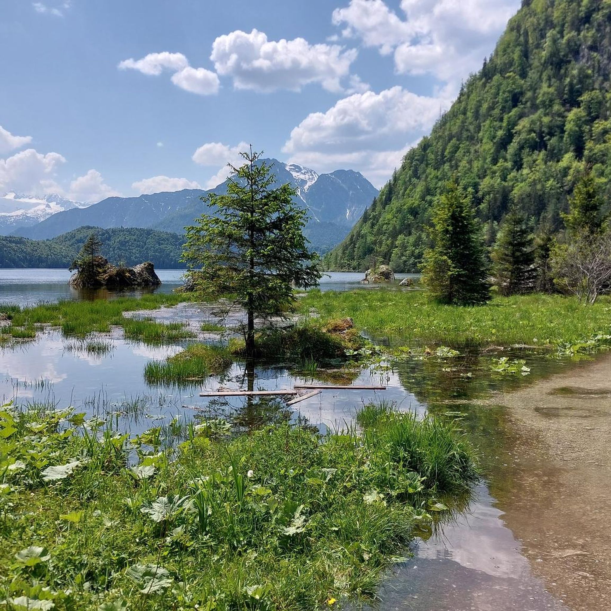
From the hiking trail you have a great view of Lake Altausseer. It is particularly beautiful when the mountains are reflected in the water.
1
0

Fantastic view from the Totes Gebirge over the Loser and Altausseer See to the Dachstein glacier
0
0
Frequently Asked Questions
How many mountaineering routes are available around Altausseer Lake?
There are over 45 mountaineering routes around Altausseer Lake, offering a diverse range of experiences. These routes are highly rated by the komoot community, with an average score of 4.6 stars.
What are the typical difficulty levels for mountaineering around Altausseer Lake?
The mountaineering routes around Altausseer Lake primarily range from moderate to difficult. There are 15 moderate routes and 31 difficult routes, providing options for those seeking a challenge and those looking for a less strenuous ascent.
Are there any family-friendly mountaineering routes in the area?
While many routes are challenging, some of the moderate ascents can be suitable for families with older children or those accustomed to hiking. For example, the Ostersee loop from Altaussee is a moderate 4.9-mile trail with a manageable ascent, often completed in about 2 hours.
Can I bring my dog on these mountaineering trails?
Many trails in the Altausseer Lake region are dog-friendly, but it's always recommended to check specific route details for any restrictions. Ensure your dog is well-behaved, kept on a leash where required, and that you carry enough water for both of you, especially on longer or more exposed routes.
Are there circular mountaineering routes available around Altausseer Lake?
Yes, several circular routes are available, allowing you to start and end your journey in the same location. A popular option is the View of Altaussee – Summit cross on Loser loop from Altaussee, which offers panoramic views from Loser Mountain.
What natural features or landmarks can I see along the mountaineering routes?
The routes offer stunning views of the region's natural beauty. You can expect to see the crystal-clear Lake Altaussee, the dramatic rock face of Trisselwand, and the distant Dachstein Massif. Many trails also provide views of the Dachstein glacier and the picturesque Totes Gebirge mountain range.
What is the best time of year for mountaineering around Altausseer Lake?
The best time for mountaineering around Altausseer Lake is typically from late spring to early autumn (May to October), when the weather is generally stable, and trails are free of snow. Summer offers warmer temperatures, while spring and autumn provide vibrant foliage and fewer crowds. Always check local weather conditions before heading out.
Are there any routes that offer particularly rewarding viewpoints?
Absolutely. Many routes are renowned for their breathtaking vistas. The Trisselwand Summit – View from Trisselberg loop from Altaussee provides expansive views from the Trisselwand summit. Another excellent choice is the View of Grundlsee loop from Altaussee, offering beautiful perspectives of the neighboring lake.
Where can I find parking for the mountaineering trailheads?
Parking is generally available at key trailheads around Altausseer Lake, particularly near popular starting points in Altaussee village or along the Loser Panoramastraße. Specific parking information can often be found in the detailed route descriptions on komoot.
Are there places to eat or drink near the mountaineering trails?
Yes, you'll find options for refreshments. The Seewiese Hunting Lodge on Lake Altaussee is a notable inn offering regional specialties with lake views. Additionally, the Kahlseneck snack station at Lake Altaussee provides a convenient stop for hikers.
Is winter mountaineering possible around Altausseer Lake?
While the area transforms into a winter wonderland, offering activities like snowshoeing and cross-country skiing, dedicated winter mountaineering requires specialized equipment and expertise due to snow and ice conditions. The Loser ski area is a popular winter destination, but for high alpine routes, always consult local guides and avalanche warnings.
What do other mountaineers enjoy most about the routes around Altausseer Lake?
The komoot community highly rates the routes around Altausseer Lake, with an average score of 4.6 stars. Mountaineers often praise the dramatic rock faces, the serene alpine lakes, and the stunning panoramic views of the Dachstein Massif and surrounding mountains. The diverse terrain, from dense forests to challenging summit climbs, is also a frequently mentioned highlight.
Most popular routes around Altausseer Lake
Most popular attractions around Altausseer Lake

Get inspired with the komoot mobile app


Explore more
Browse the best Mountain Hikes & Routes in other regions.
