The best walks and hikes around Courtételle
4.5
(887)
4,599
hikers
276
hikes
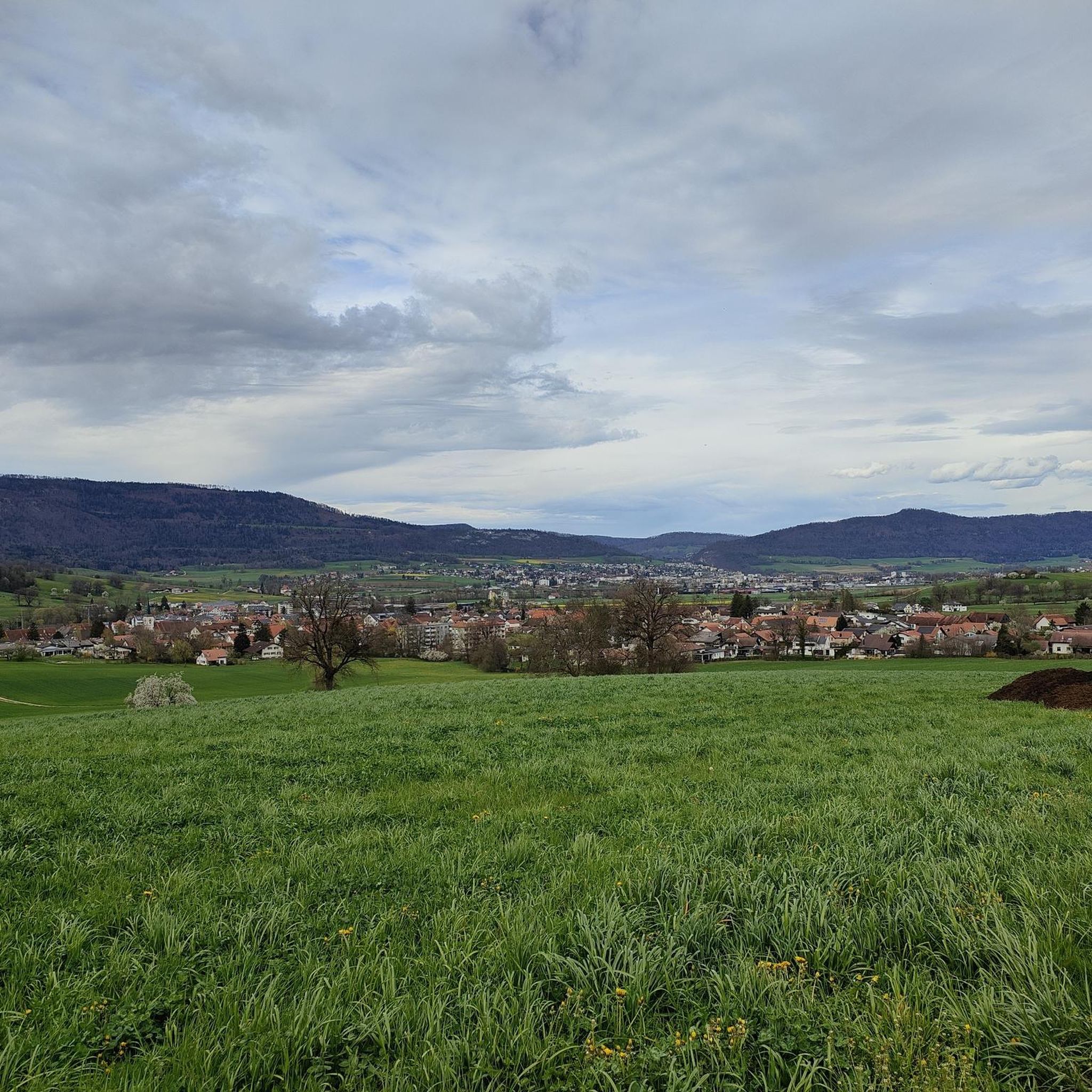
Hiking around Courtételle offers a diverse landscape characterized by undulating hills, dense woodlands, and open rural areas. The region features varied terrain, including paths that traverse through valleys and ascend to viewpoints. Elevation changes are common, providing a mix of gentle slopes and more challenging climbs. This area provides opportunities to explore the natural environment of the Jura region.
Best hiking trails in Courtételle
- The most popular hiking route is Sentier de la Cendre — loop from Châtillon, a…
Last updated: July 6, 2026
4.5
(13)
29
hikers
8.13km
02:57
500m
520m
Moderate hike. Good fitness required. Mostly accessible paths. Sure-footedness required.
4.0
(4)
14
hikers
16.9km
05:21
690m
690m
Hard hike. Very good fitness required. Easily-accessible paths. Suitable for all skill levels.

Sign up for free
4.0
(2)
15
hikers
9.20km
02:50
320m
320m
Moderate hike. Good fitness required. Easily-accessible paths. Suitable for all skill levels.
4.1
(7)
14
hikers
4.70km
01:23
130m
130m
Easy hike. Great for any fitness level. Easily-accessible paths. Suitable for all skill levels.
4.3
(3)
13
hikers
11.5km
03:43
510m
510m
Moderate hike. Good fitness required. Easily-accessible paths. Suitable for all skill levels.
Get access to more routes and recommendations from other explorers.
Sign up for free
Already have an account?
Our route recommendations are based on thousands of hikes, rides, and runs completed by other people on komoot.
Start today with a free account
Your next adventure awaits.
Login or Signup
Tips from the Community

Easily accessible by car https://www.lesfouchies.ch/
0
0

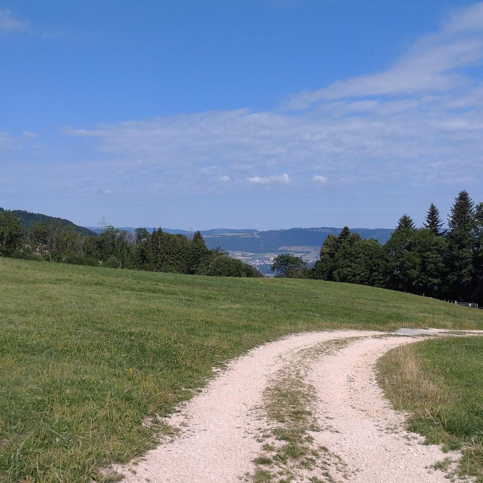
From this highest point of the Ash Trail you can enjoy a beautiful panoramic view. An ideal place to enjoy the sunrise or sunset. You choose.
3
0
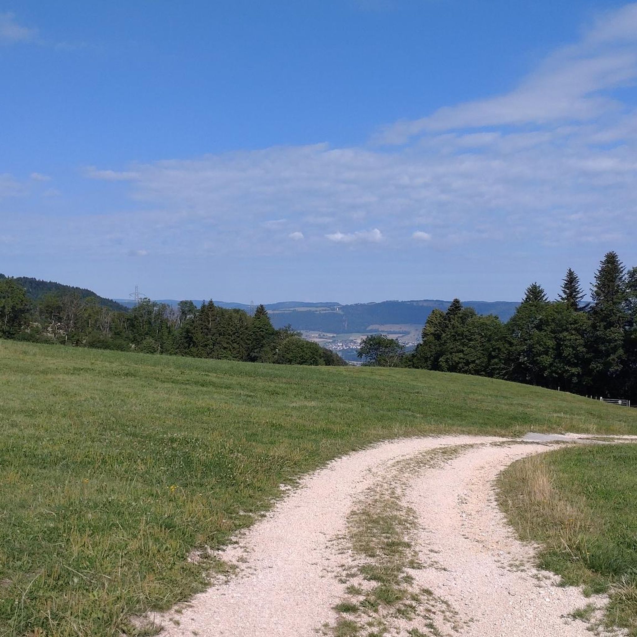
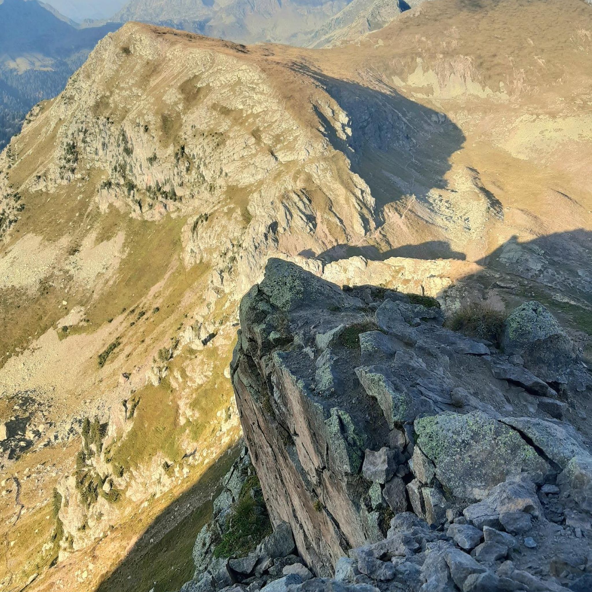
The Ash Trail takes you through forests, meadows and rocky slopes. You will enjoy panoramic views of the valley and mountains, and have the chance to spot wildlife, such as chamois, deer and birds.
2
0
From this highest point of the Ash Trail you can enjoy a beautiful panoramic view. A great place to enjoy the sunrise or sunset. You choose.
2
0

Small circular route possible with a relaxing pond and beautiful waterfalls
1
0
Very pretty cave well entered in a very nice corner after a small path in the forest
0
0
Very little known and lost place. Very pretty when the weather is nice.
0
0
Frequently Asked Questions
How many hiking trails are available around Courtételle?
There are over 280 hiking routes in the Courtételle area, offering a wide range of options from easy strolls to more challenging ascents through the Jura region's diverse landscape.
Are there easy hiking trails suitable for beginners in Courtételle?
Yes, Courtételle offers many easy trails. For a pleasant and accessible option, consider the Hiking loop from Châtillon JU, which is 4.7 km long and takes about 1 hour 20 minutes to complete.
What are some family-friendly hiking options in the area?
Many trails around Courtételle are suitable for families. The region's undulating hills and woodlands provide gentle paths. Look for routes marked as 'easy' on komoot, which typically have less elevation gain and shorter distances, making them ideal for all ages.
Can I bring my dog on the hiking trails in Courtételle?
Most hiking trails in the Courtételle region are dog-friendly, but it's always advisable to keep your dog on a leash, especially when passing through agricultural areas, near livestock, or in nature reserves. Always carry water for your pet and clean up after them.
Are there any circular walks around Courtételle?
Yes, many routes in Courtételle are designed as circular walks, allowing you to start and end at the same point. A popular option is the Grotto of Our Lady loop from Courtételle, a 9.2 km trail that takes approximately 2 hours 50 minutes.
What kind of scenic viewpoints or natural attractions can I find along the trails?
The Courtételle area, being part of the Jura region, offers scenic views over valleys and woodlands. You can also find beautiful lakes nearby, such as Lucelle Lake and Green Lake, which are great for a refreshing stop or a picnic.
What is the best time of year to go hiking in Courtételle?
The best time for hiking in Courtételle is generally from spring to autumn (April to October), when the weather is mild and the trails are clear. Spring brings blooming wildflowers, while autumn offers vibrant foliage. Winter hiking is possible, but some trails might be snowy or icy, requiring appropriate gear.
Are there options for winter hiking in Courtételle?
While many trails are accessible year-round, winter hiking in Courtételle can involve snow and ice, especially at higher elevations. For winter walks, it's recommended to check local conditions, wear appropriate footwear, and consider routes that are well-maintained or lower in elevation. Some paths may be suitable for snowshoeing.
Where can I find parking for hiking trails in Courtételle?
Parking is generally available in or near the villages that serve as starting points for hikes, such as Courtételle or Châtillon. Look for designated parking areas, often near public buildings or trailheads. It's always a good idea to check specific route descriptions on komoot for parking recommendations.
Is public transport available to reach hiking trailheads?
Courtételle is well-connected by public transport within the Jura region. You can often reach trailheads by bus or train, especially those starting from the main villages. Check local public transport schedules for the most convenient options to your chosen starting point.
What do other hikers enjoy most about hiking in Courtételle?
The hiking trails around Courtételle are highly rated by the komoot community, with an average score of 4.5 stars from over 770 reviews. Hikers often praise the diverse terrain, from dense woodlands to open rural areas, and the well-maintained paths that offer a mix of gentle slopes and more challenging climbs.
Are there any longer, more challenging hikes in the Courtételle area?
For those seeking a more challenging experience, the View from Sentier de la Cendre – Grotte aux Fées loop from Châtillon JU is a difficult 16.9 km path featuring significant elevation gain and panoramic views. It typically takes over 5 hours to complete.
Are there places to eat or get refreshments near the hiking routes?
Yes, you'll find various restaurants and cafés in the villages like Courtételle and Châtillon, which are common starting or ending points for hikes. Some routes might also pass by traditional Swiss farm-inns (Ferme-Auberges) like the one on the Ferme-Auberge Les Fouchies loop from Châtillon JU, offering local specialties.
Most popular attractions around Courtételle

Get inspired with the komoot mobile app


Explore more
Browse the best Hikes in other regions.
