The best road cycling routes around Dösner Lake
4.8
(25)
896
riders
5
rides
Road cycling around Dösner Lake is characterized by routes that navigate alpine valleys and follow river paths, often featuring significant elevation gains. The region, located in Bezirk Spittal an der Drau, offers diverse terrain for road cyclists. Routes frequently traverse through scenic landscapes, including sections along the Drau River. This area provides a mix of challenging ascents and longer valley rides.
Best road cycling routes around Dösner Lake
- The most popular road cycling route is Brückenwirt – Drau Bridge Sachsenburg…
Last updated: July 8, 2026
5.0
(9)
341
riders
68.7km
03:31
670m
670m
Moderate road ride. Good fitness required. Some segments of this route may be unpaved and difficult to ride.
7
riders
Hard road ride. Very good fitness required. Some segments of this route may be unpaved and difficult to ride.

Sign up for free
4.5
(4)
263
riders
142km
06:22
1,390m
1,390m
Hard road ride. Very good fitness required. Some segments of this route may be unpaved and difficult to ride.
3.5
(4)
52
riders
Hard road ride. Very good fitness required. Some segments of this route may be unpaved and difficult to ride.
5.0
(1)
16
riders
115km
05:27
1,470m
1,470m
Hard road ride. Very good fitness required. Mostly well-paved surfaces and easy to ride.
Our route recommendations are based on thousands of hikes, rides, and runs completed by other people on komoot.
Start today with a free account
Your next adventure awaits.
Login or Signup

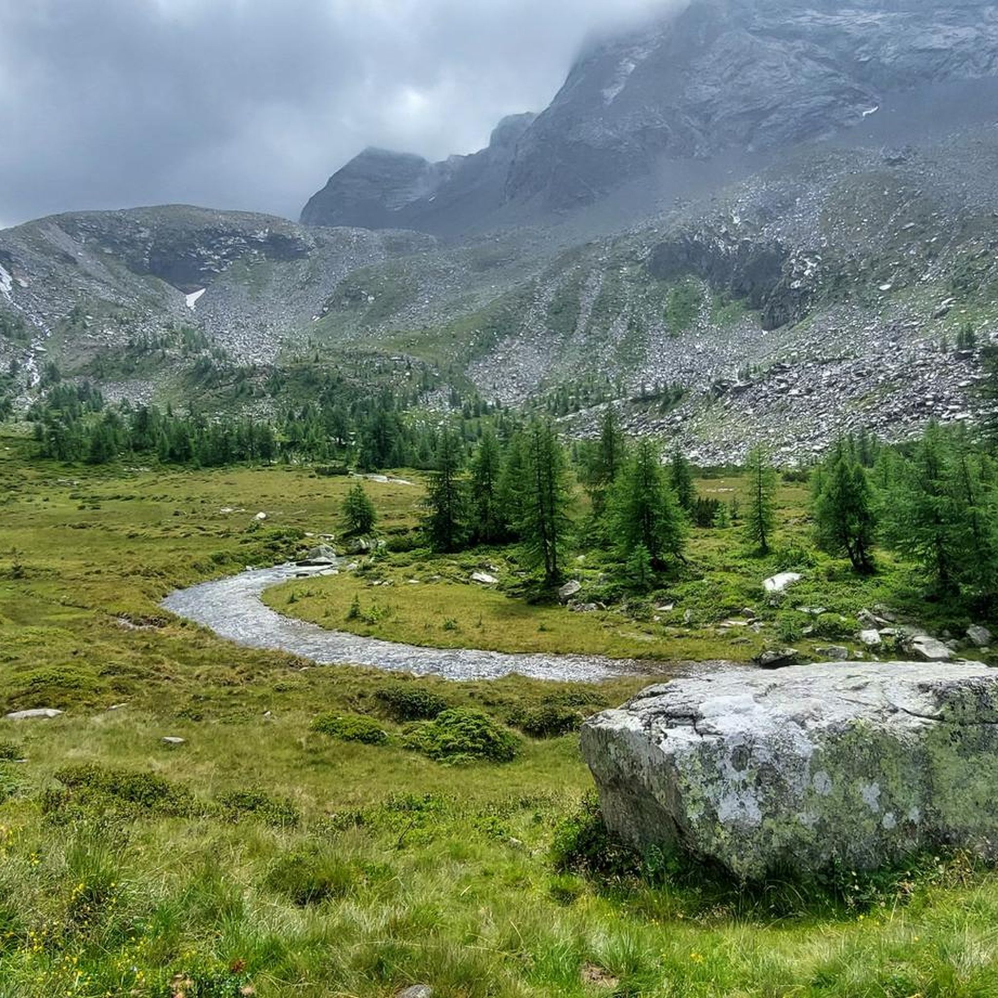
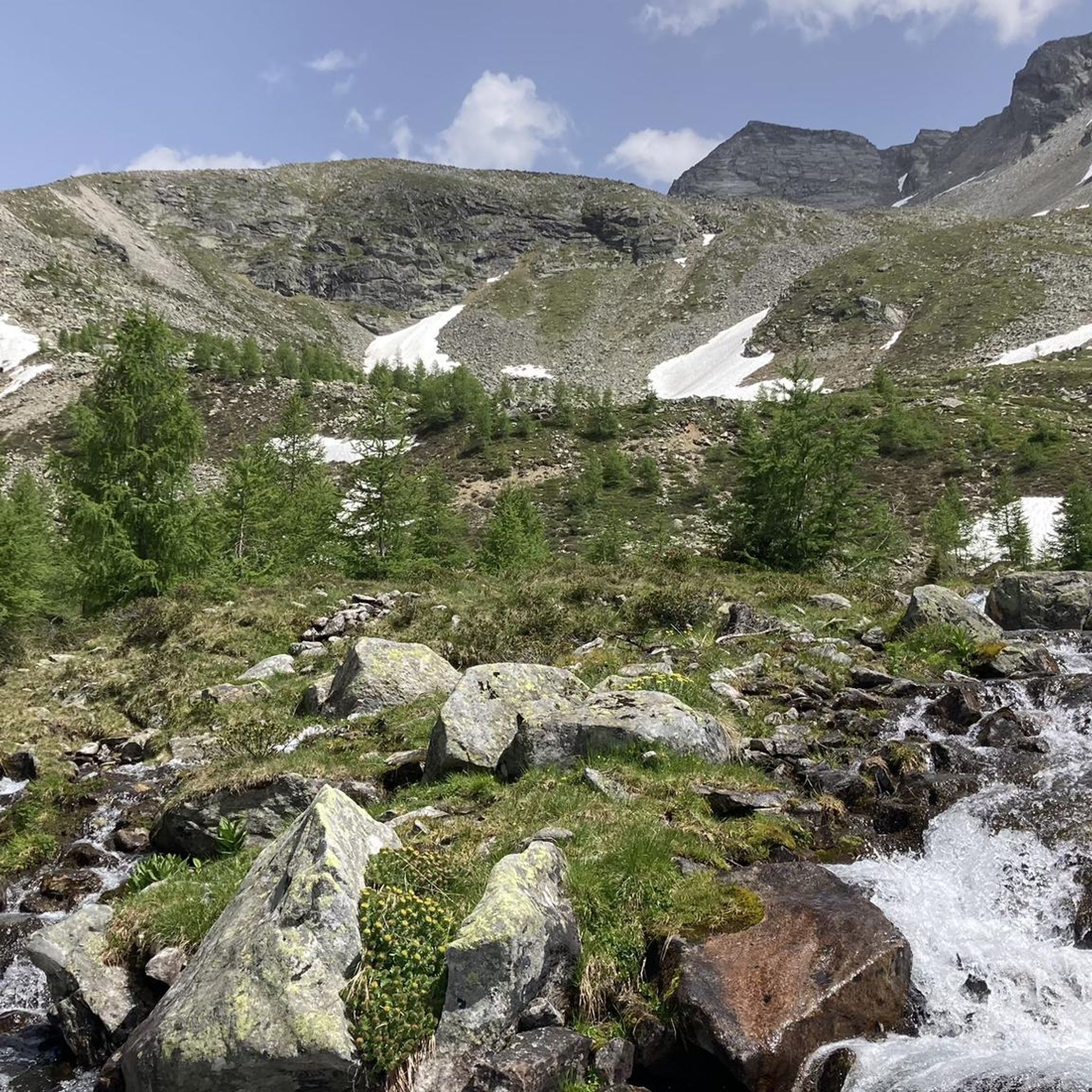
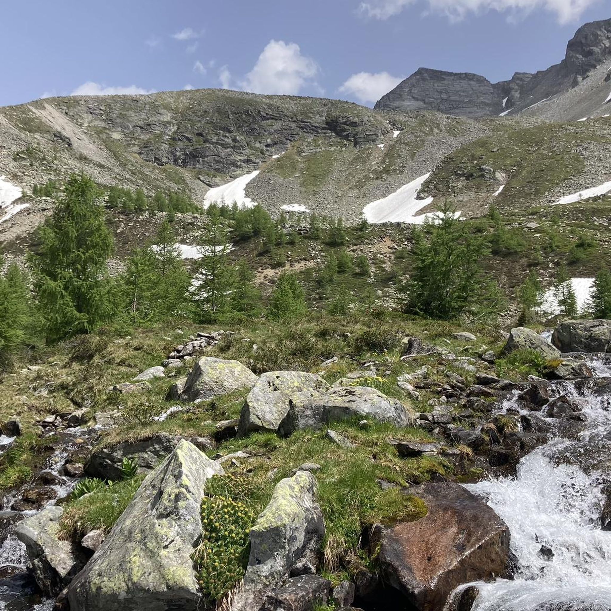

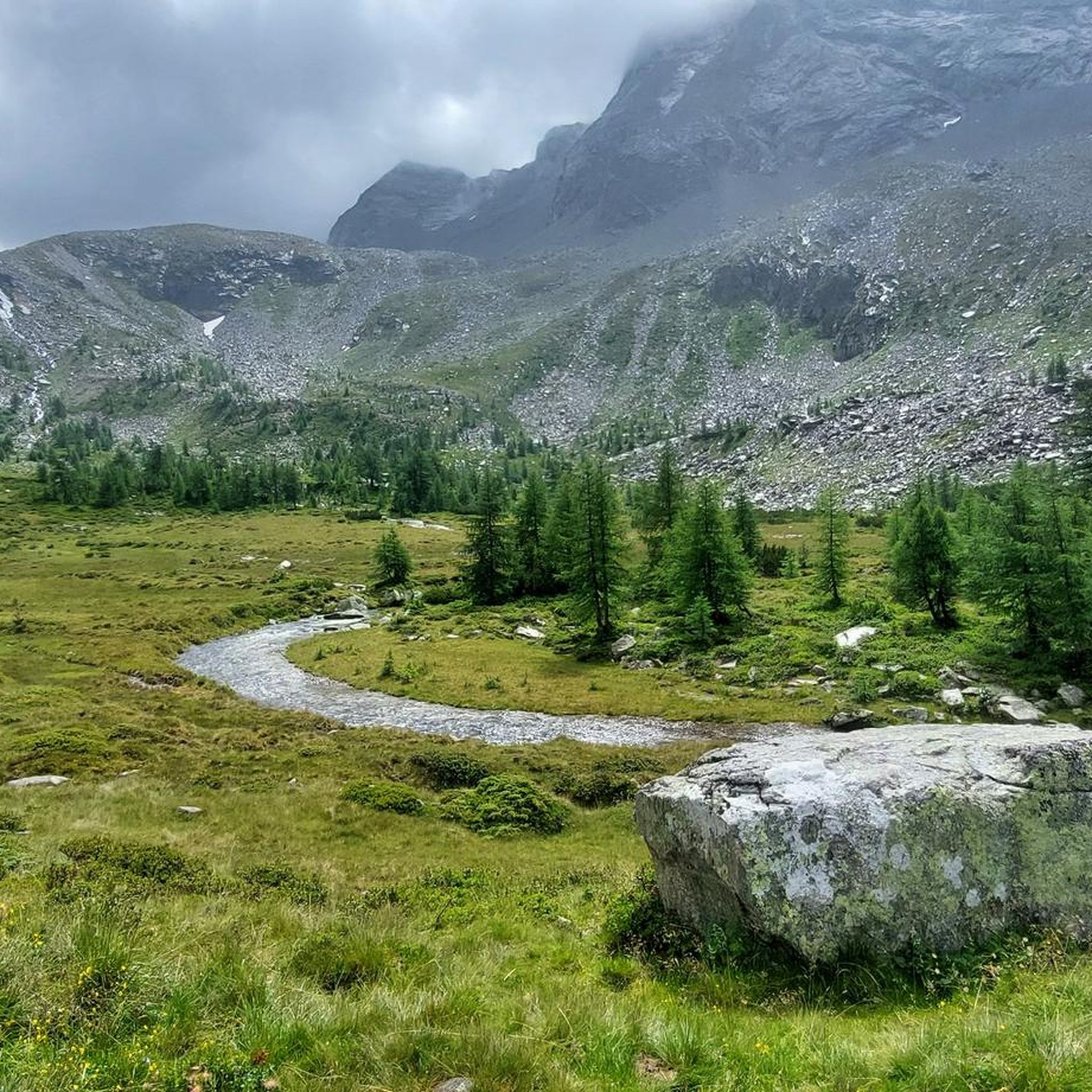
Other adventures around Dösner Lake

Tips from the Community

The Rottau power plant and the Rottau balancing reservoir constitute the main stage of the Malta power plants in the Möll Valley. The water flows from the Galgenbichel reservoir and the Gößkar reservoir to the power plant via a pressure tunnel and a two-line pressure pipeline. A large portion of the water from this main stage is then dammed together with the water from the Möll River at the Rottau basin weir and subsequently fed via the open headwater canal and the Sachsenweg tunnel to the lower stage of the Malta power plants for further energy generation.
0
0

A beautiful view of the bridge
0
0

A nice view up, no idea what that is.
0
1

The bike path from Mallnitz to Spittal is well signposted! Some sections require chunkier tires! 🚵♂️ There's plenty of interesting things to see and some great places to stop for a break!
2
0
The bike path from Mallnitz to Spittal is well signposted! Some sections require chunkier tires! 🚵♂️ There's plenty of interesting things to see and some great places to stop for a break!
2
0
The bike path from Mallnitz to Möllbrücke is well signposted! Some sections require chunkier tires! 🚵♂️
2
0
The bike path from Mallnitz to Möllbrücke is well signposted! Some sections require chunkier tires! 🚵♂️
2
0

The Möll, the main river of the valley, which rises above Heiligenblut!
0
0
Frequently Asked Questions
What is the general difficulty level for road cycling routes around Dösner Lake?
Road cycling around Dösner Lake offers a mix of challenges. While there is one moderate route, the majority of the routes, specifically four out of five, are classified as difficult. These often involve significant elevation gains and longer distances, characteristic of alpine valleys.
What are the typical distances for road cycling routes in the Dösner Lake area?
Routes in the Dösner Lake region vary in length, catering to different endurance levels. You can find routes ranging from approximately 43 km (26.7 miles) to over 141 km (87.6 miles). For example, the Peter's Cyclist Rest Stop – Obervellach Town Center loop from Mallnitz-Obervellach is about 43 km, while the Puch – Drau Bridge Sachsenburg loop from Mallnitz-Obervellach extends to over 141 km.
Are there any family-friendly road cycling routes suitable for beginners around Dösner Lake?
The road cycling routes around Dösner Lake are generally geared towards more experienced riders, with most classified as moderate to difficult. There are no routes specifically listed as easy. The Brückenwirt – Drau Bridge Sachsenburg loop from Obervellach is the least challenging at a moderate difficulty, offering a scenic loop along the Drau River, which might be suitable for families with older, more confident children or beginners looking for a challenge.
What is the best season for road biking around Dösner Lake?
Given the alpine characteristics of the Dösner Lake region, the best season for road cycling is typically from late spring through early autumn (May to October). During these months, the weather is generally more stable, and mountain passes are clear of snow, providing optimal conditions for enjoying the scenic routes along river valleys and through hilly terrain.
Are there any loop trails for road cycling in the Dösner Lake area?
Yes, many of the road cycling routes around Dösner Lake are designed as loops, allowing you to start and finish at the same point. Examples include the popular Brückenwirt – Drau Bridge Sachsenburg loop from Obervellach and the more challenging Scenic Road Through the Valley – Drautal Cycle Path Steinfeld - Lind loop from Obervellach.
What kind of terrain can I expect on road cycling routes near Dösner Lake?
Road cycling around Dösner Lake is characterized by diverse terrain. You will encounter routes that navigate alpine valleys, follow river paths (such as sections along the Drau River), and feature hilly sections. Expect a mix of challenging ascents and longer valley rides, offering varied landscapes throughout your journey.
What do other road cyclists enjoy the most about road cycling in Dösner Lake?
The Dösner Lake area is highly rated by the komoot community, with an average score of 4.8 stars from over 25 reviews. Reviewers often praise the varied terrain, which includes scenic river valleys and challenging alpine ascents, providing a rewarding experience for road cyclists.
Are there any particularly scenic viewpoints along the road cycling routes?
While specific named viewpoints are not detailed, the routes around Dösner Lake are known for traversing scenic landscapes. The paths often follow the Drau River and wind through alpine valleys, offering continuous picturesque views of the surrounding natural beauty. The Scenic Road Through the Valley – Drautal Cycle Path Steinfeld - Lind loop from Obervellach, for instance, highlights extensive valley roads.
Where can I find parking for road cycling in the Dösner Lake region?
Many routes start from towns like Obervellach and Mallnitz-Obervellach. These locations typically offer public parking facilities suitable for cyclists. It's advisable to check local parking options in these starting points before your ride.
Are there any cafes or rest stops along the road cycling routes around Dösner Lake?
While specific cafes are not listed for every route, the region's routes often pass through or near smaller towns and villages. For example, the route Peter's Cyclist Rest Stop – Obervellach Town Center loop from Mallnitz-Obervellach explicitly mentions a cyclist rest stop. These settlements are good places to find local eateries or cafes for a break and refreshments.
What are some of the more challenging road cycling routes in the Dösner Lake area?
For experienced road cyclists seeking a challenge, routes like the Rudersdorf Climb – Climb to Sankt Jakob loop from Mallnitz-Obervellach offer significant elevation gain and distance. Another demanding option is the Puch – Drau Bridge Sachsenburg loop from Mallnitz-Obervellach, which covers over 141 km through river valleys and hilly terrain.
Most popular routes around Dösner Lake

Get inspired with the komoot mobile app


Explore more
Browse the best Road cycling routes in other regions.
