The best mountain hikes around Heiterwanger Lake
4.7
(820)
5,229
hikers
111
hikes
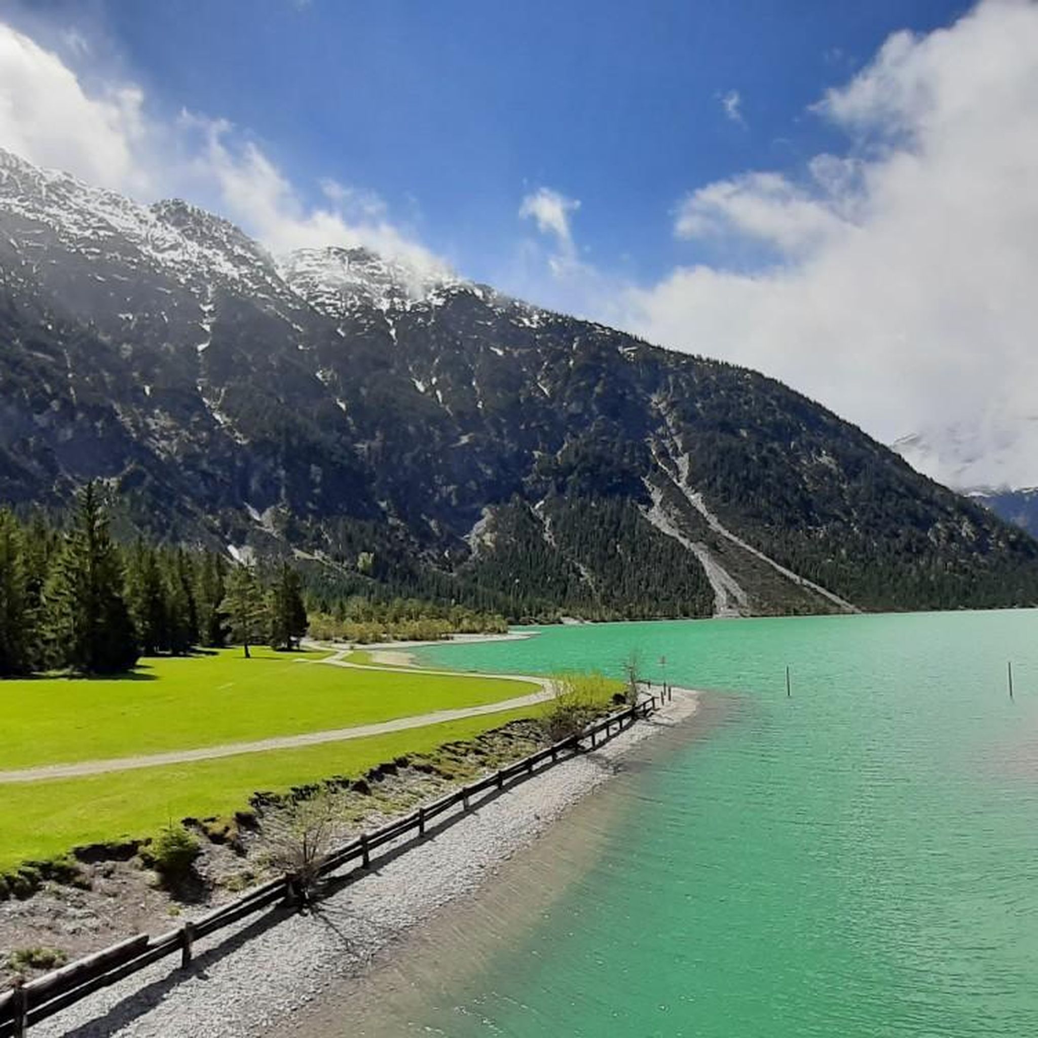
Mountaineering around Heiterwanger Lake offers diverse routes within the Ammergau and Lechtal Alps, set against a backdrop of crystal-clear lakes. The region is characterized by steep, wooded mountain slopes and rugged peaks, providing varied terrain for alpine endeavors. Situated at 976 meters above sea level, the lake is connected to the Plansee, forming a significant body of water in Tyrol. The surrounding mountains, including the prominent Thaneller and Daniel, present opportunities for challenging ascents and panoramic views.
Best mountaineering routes…
Last updated: July 8, 2026
4.8
(5)
37
hikers
20.0km
05:17
190m
190m
Hard mountaineering route. Very good fitness required. Easily-accessible paths. Suitable for all skill levels.
5.0
(3)
18
hikers
Hard mountaineering route. Very good fitness required. Mostly accessible paths. Sure-footedness required.

Sign up for free
4.3
(3)
11
hikers
11.2km
05:08
670m
670m
Hard mountaineering route. Very good fitness required. Sure-footedness, sturdy shoes and alpine experience required.
4.9
(88)
302
hikers
Hard mountaineering route. Very good fitness required. Sure-footedness, sturdy shoes and alpine experience required.
4.0
(6)
26
hikers
18.4km
07:42
930m
930m
Hard mountaineering route. Very good fitness required. Sure-footedness, sturdy shoes and alpine experience required.
Get access to more routes and recommendations from other explorers.
Sign up for free
Already have an account?
Our route recommendations are based on thousands of hikes, rides, and runs completed by other people on komoot.
Start today with a free account
Your next adventure awaits.
Login or Signup

Tips from the Community

Pleasant ascent, descent annoying as shit but worth it. At the top so much braking that it just cracks but snack is possible a few meters before the summit. You can also call it Bremsenkopf, wow. Otherwise, only to be recommended. Best regards
2
1

The Hölltal Hut is located very high at 1,500 meters. From here, you can also hike further up to the peaks. It's very peaceful and beautiful up there.
0
0

Worth seeing, good footwear, and you should be more drastic. The trail is very slippery when wet due to the dirt and roots.
0
0

A somewhat exposed and narrow section over a rocky ridge. Secured with an old rope that I wouldn't really trust.
0
0
Brilliant viewpoint over the entire Plansee.
0
0


Not for the faint of heart
0
1
Frequently Asked Questions
What is the general difficulty level of mountaineering routes around Heiterwanger Lake?
The Heiterwanger Lake region offers a wide range of mountaineering experiences. While there are 7 easy routes and 38 moderate routes, the majority, with 69 routes, are classified as difficult. These more challenging routes often involve significant elevation gain, exposed sections, and sometimes light climbing or scrambling, particularly in the Ammergau and Lechtal Alps. Always check the specific route details before you go.
Are there any circular mountaineering routes available near Heiterwanger Lake?
Yes, the area features several excellent circular mountaineering routes that allow you to start and end in the same location. One notable option is the challenging Lichtbrenntjoch Peak (1960 m) – Heiterwanger See loop from Heiterwang, which offers extensive views of the lake and alpine landscape. Another is the Cabin with a View of the Plansee – Schrofennas Peak loop from Heiterwang, leading through mountain forests and open ridges.
What kind of natural features and landmarks can I expect to see along the mountaineering routes?
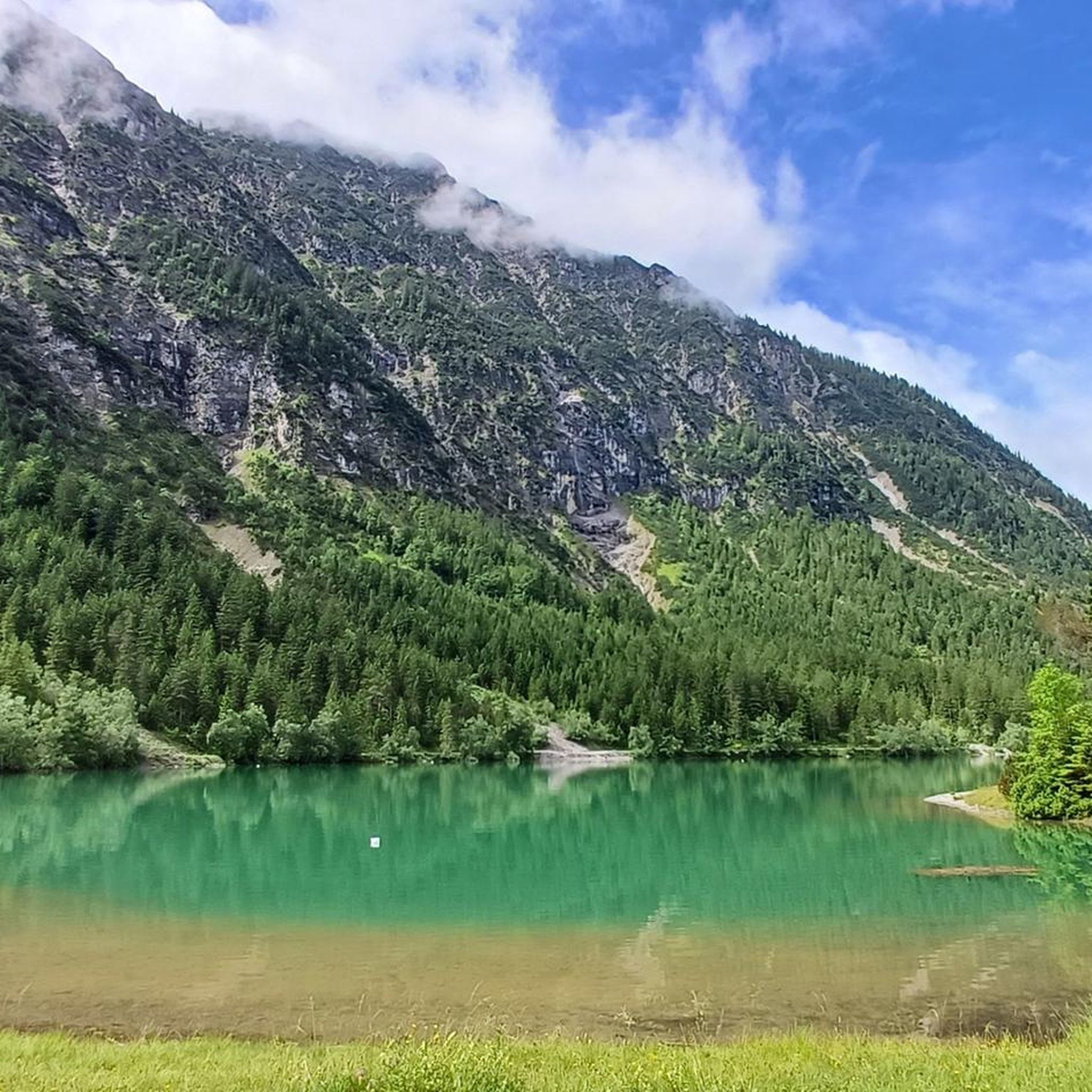
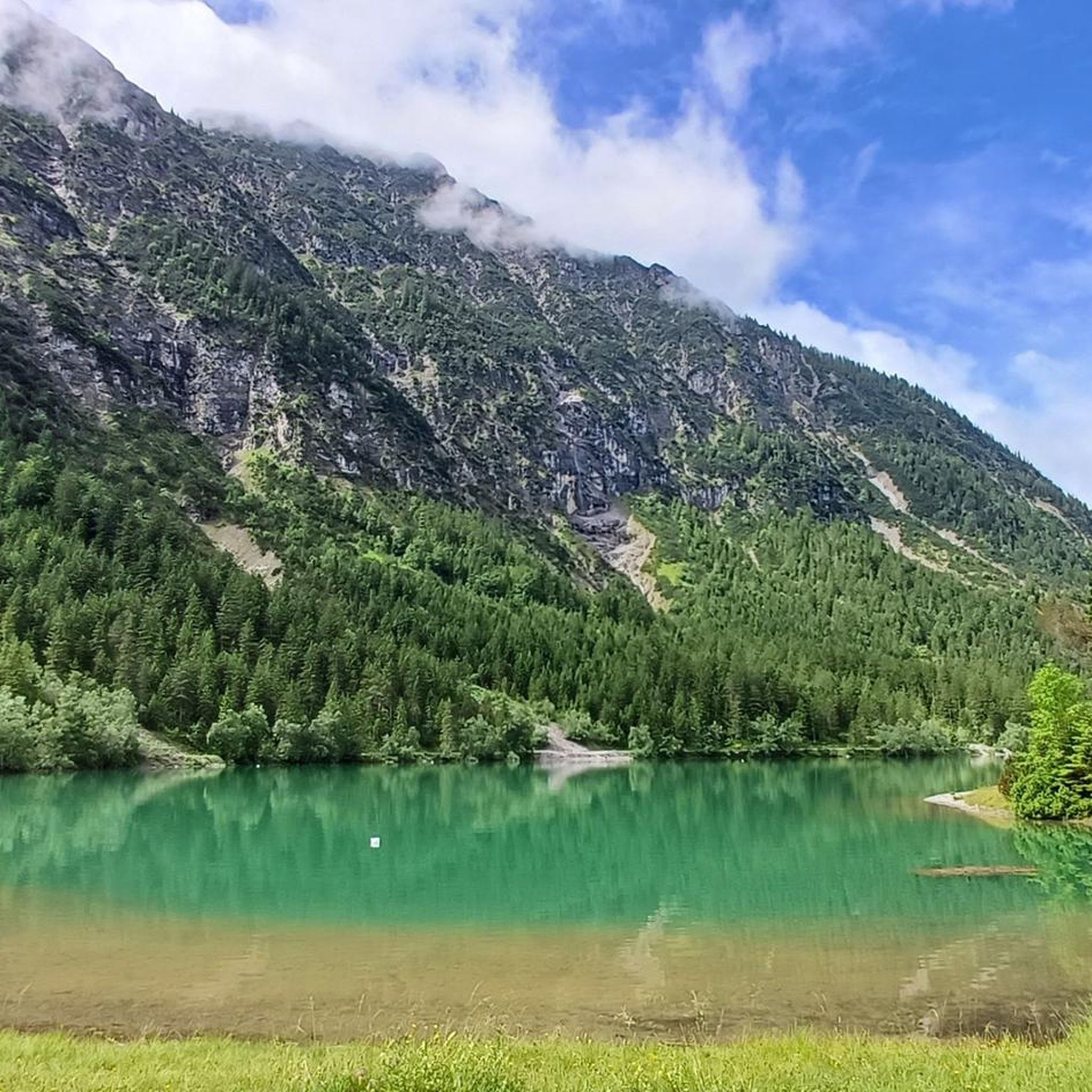
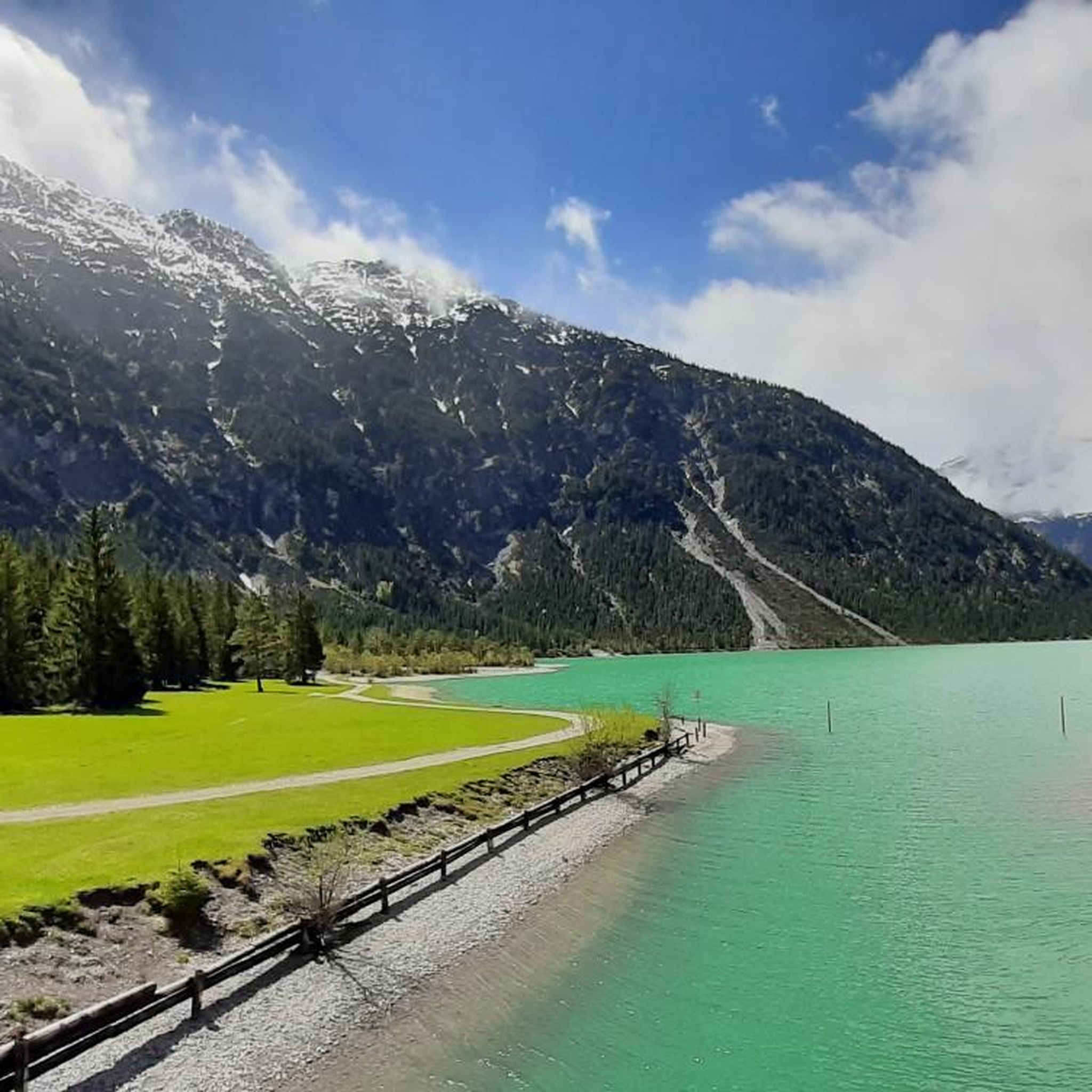
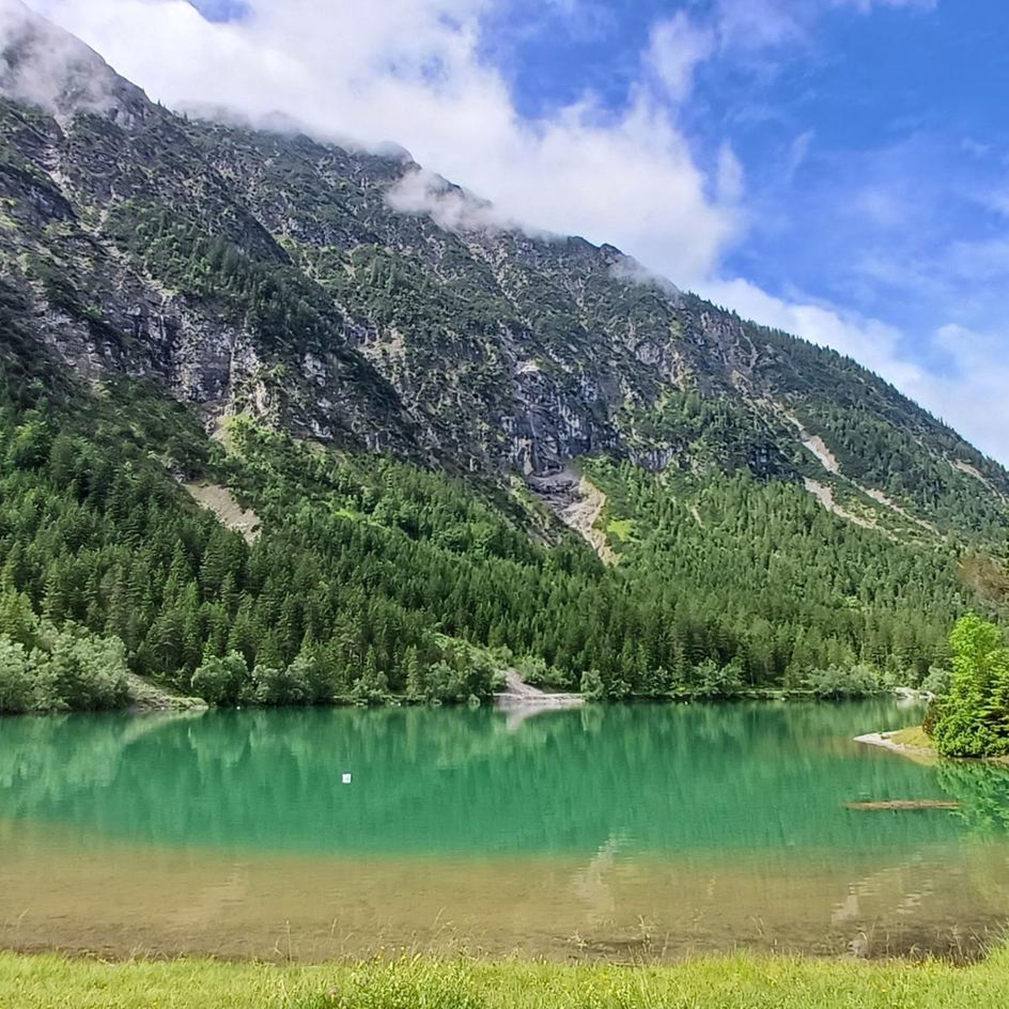
Mountaineering around Heiterwanger Lake consistently rewards you with stunning natural beauty. You'll encounter the crystal-clear, often turquoise waters of Lake Heiterwang and the connected Plansee, surrounded by steep, wooded mountain slopes. Many routes offer panoramic views of the Tyrolean landscape and the surrounding mountain ranges. You might also pass by picturesque spots like the Meadows and pebbly beaches at Plansee or the tranquil Wooden Dock at Heiterwanger See.
Are there any less crowded mountaineering routes for a more secluded experience?
While some routes are very popular, you can find quieter experiences. Consider exploring routes that venture deeper into the Lechtal Alps, which are known for their rugged peaks and deep valleys, offering a sense of solitude. For example, the View of Plansee – Zunterkopf (1,811 m) loop from Kleiner Plansee provides a challenging ascent with rewarding views, often with fewer people than the most frequented trails.
What is the best time of year for mountaineering around Heiterwanger Lake?
The best time for mountaineering around Heiterwanger Lake is generally from spring to late autumn. During these seasons, trails are typically free of snow, and the weather is more stable, offering ideal conditions for ascents and panoramic views. The Thaneller (2,341 m), for instance, is a popular destination during this period. Always check local weather forecasts and trail conditions before heading out, especially in early spring or late autumn when snow can still be present at higher elevations.
What do other mountaineers enjoy most about the routes in this region?
The mountaineering routes around Heiterwanger Lake are highly rated by the komoot community, with an average score of 4.7 stars from over 800 reviews. Reviewers often praise the breathtaking panoramic views from the summits, the diverse alpine terrain ranging from forested slopes to rugged peaks, and the stunning vistas of the clear lakes below. The variety of routes catering to different skill levels is also frequently highlighted.
Are there any mountaineering routes that offer exceptional views of the Plansee?
Absolutely! The connection between Heiterwanger Lake and Plansee means many routes offer spectacular views of both. The Plansee – Pebble Beach on Plansee loop from Heiterwang is a popular choice specifically for its clear views of the Plansee's waters and picturesque surroundings. Another route, Frauenbrünnle and Chapel – Swing with a View of Plansee loop from Kleiner Plansee, also promises stunning vistas of the Plansee.
How many mountaineering routes are there in total around Heiterwanger Lake?
There are over 110 mountaineering routes available around Heiterwanger Lake, offering a wide variety of options for different skill levels and preferences. This includes 7 easy, 38 moderate, and 69 difficult routes, ensuring there's a suitable challenge for almost every mountaineer.
Are there options for advanced mountaineers seeking challenging ascents?
Yes, the region is particularly well-suited for advanced mountaineers. The Lechtal Alps, accessible from Heiterwanger Lake, feature rugged peaks and demanding terrain. Many of the 69 difficult routes in the area involve significant elevation gains, exposed sections, and sometimes scrambling or light climbing. Peaks like Daniel (2,340 m) and Thaneller (2,341 m) offer substantial challenges and rewarding panoramic views for experienced climbers.
Can I find any cafes or restaurants near the mountaineering trailheads?
While specific cafes directly at every trailhead are not guaranteed, the villages surrounding Heiterwanger Lake, such as Heiterwang itself, offer various dining options. You'll find places to refuel and relax after your mountaineering adventures, often with traditional Tyrolean cuisine. It's always a good idea to check opening hours, especially outside of peak season.
Is it possible to reach the mountaineering areas around Heiterwanger Lake using public transport?
Public transport options to the Heiterwanger Lake area are available, connecting it to larger towns in Tyrol. While direct access to every single trailhead by public transport might be limited, you can often reach the main villages and starting points by bus. From there, some trailheads might be within walking distance, or you might need to arrange a short taxi ride. It's advisable to research specific bus routes and schedules relevant to your chosen starting point.
Are there any family-friendly mountaineering options or less strenuous paths for beginners?
While many routes are geared towards experienced mountaineers, there are options for families or beginners looking for less strenuous paths. The region offers 7 easy and 38 moderate routes. For a truly gentle experience, the signposted circular path around Heiterwanger Lake itself provides an easy and enjoyable hike, though it's more of a walk than a mountaineering ascent. When choosing a mountaineering route, look for those classified as 'easy' or 'moderate' and check their elevation gain and distance carefully.
Most popular routes around Heiterwanger Lake
Most popular attractions around Heiterwanger Lake

Get inspired with the komoot mobile app


Explore more
Browse the best Mountain Hikes & Routes in other regions.
