The best mountain hikes around Gleinkersee
4.8
(102)
2,323
hikers
59
hikes
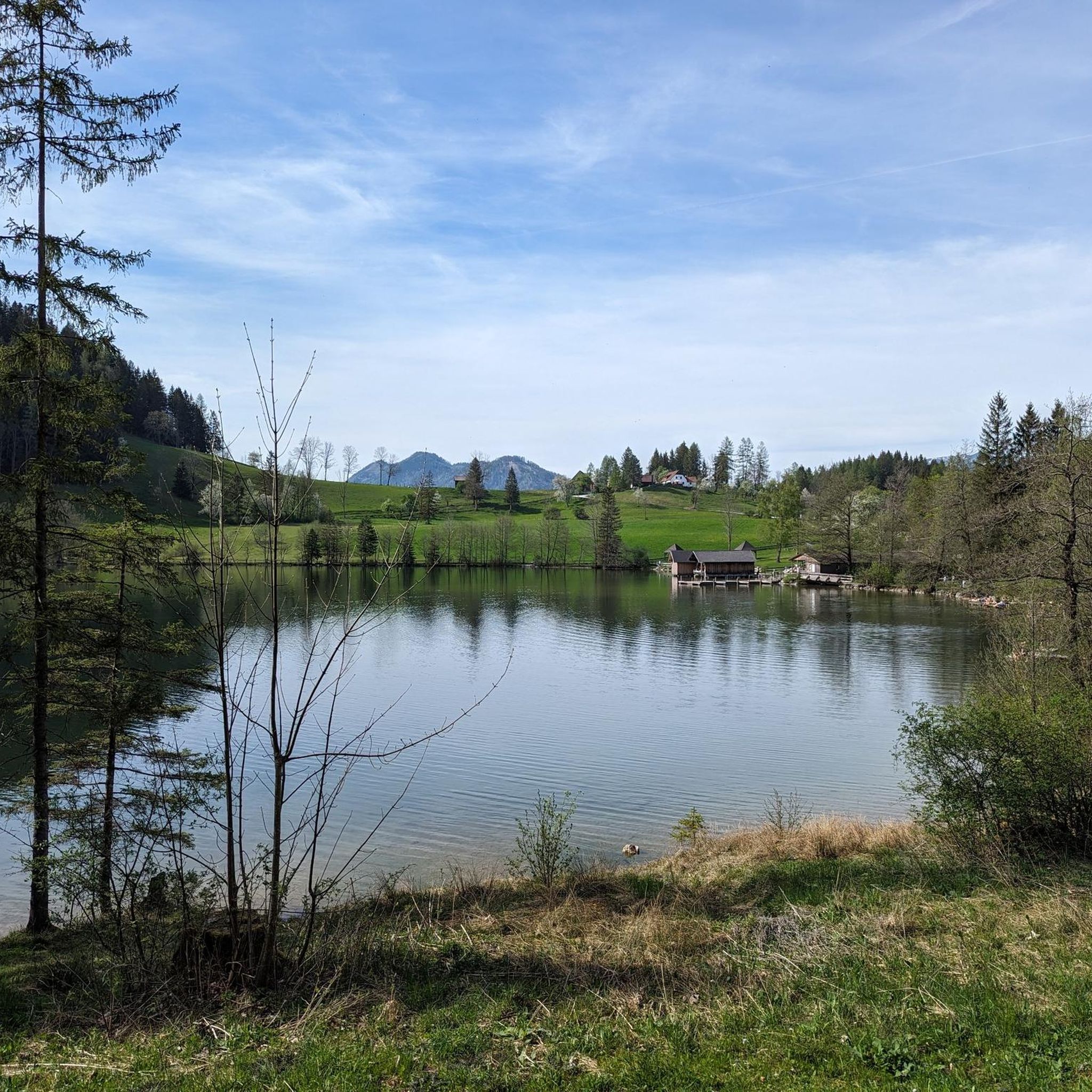
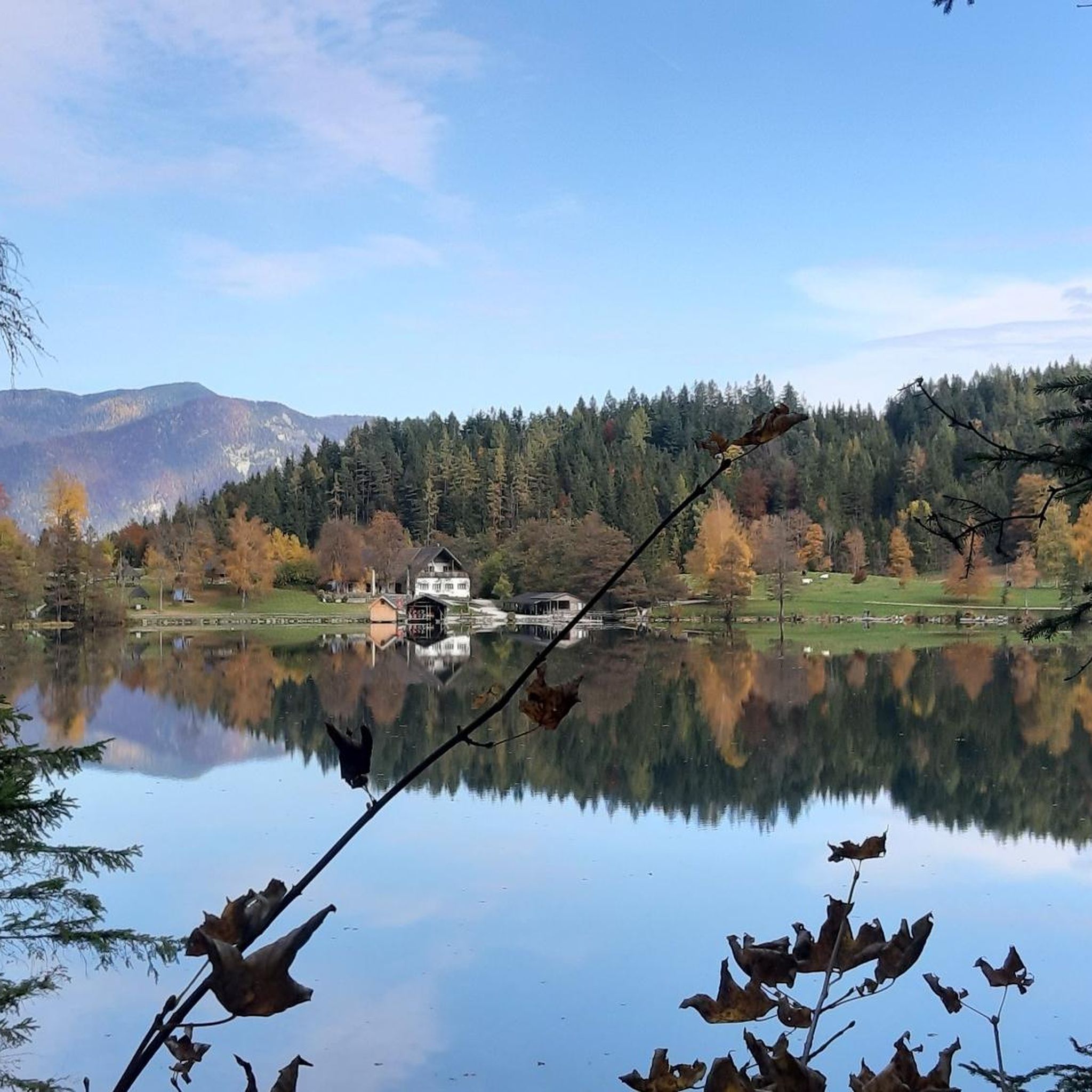
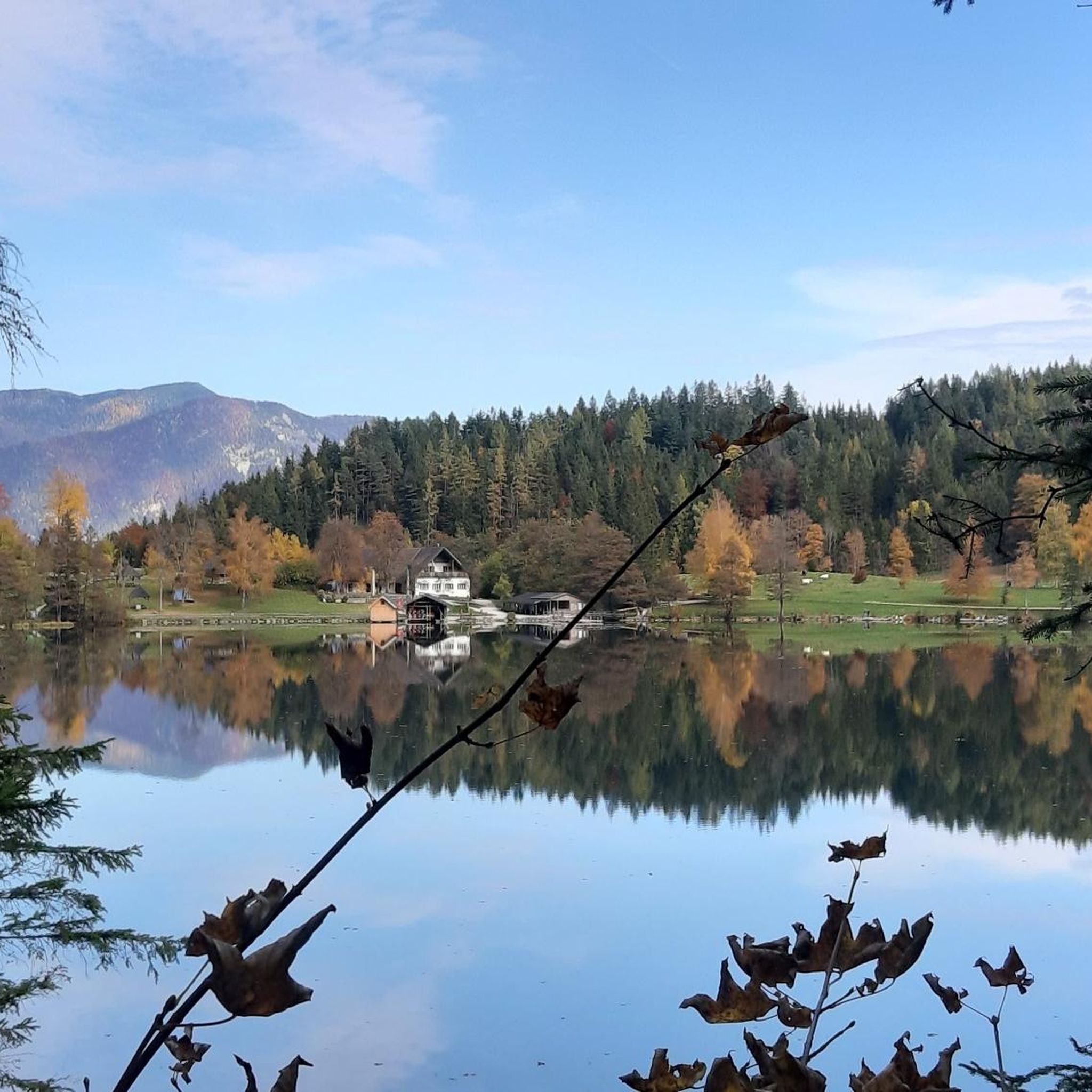
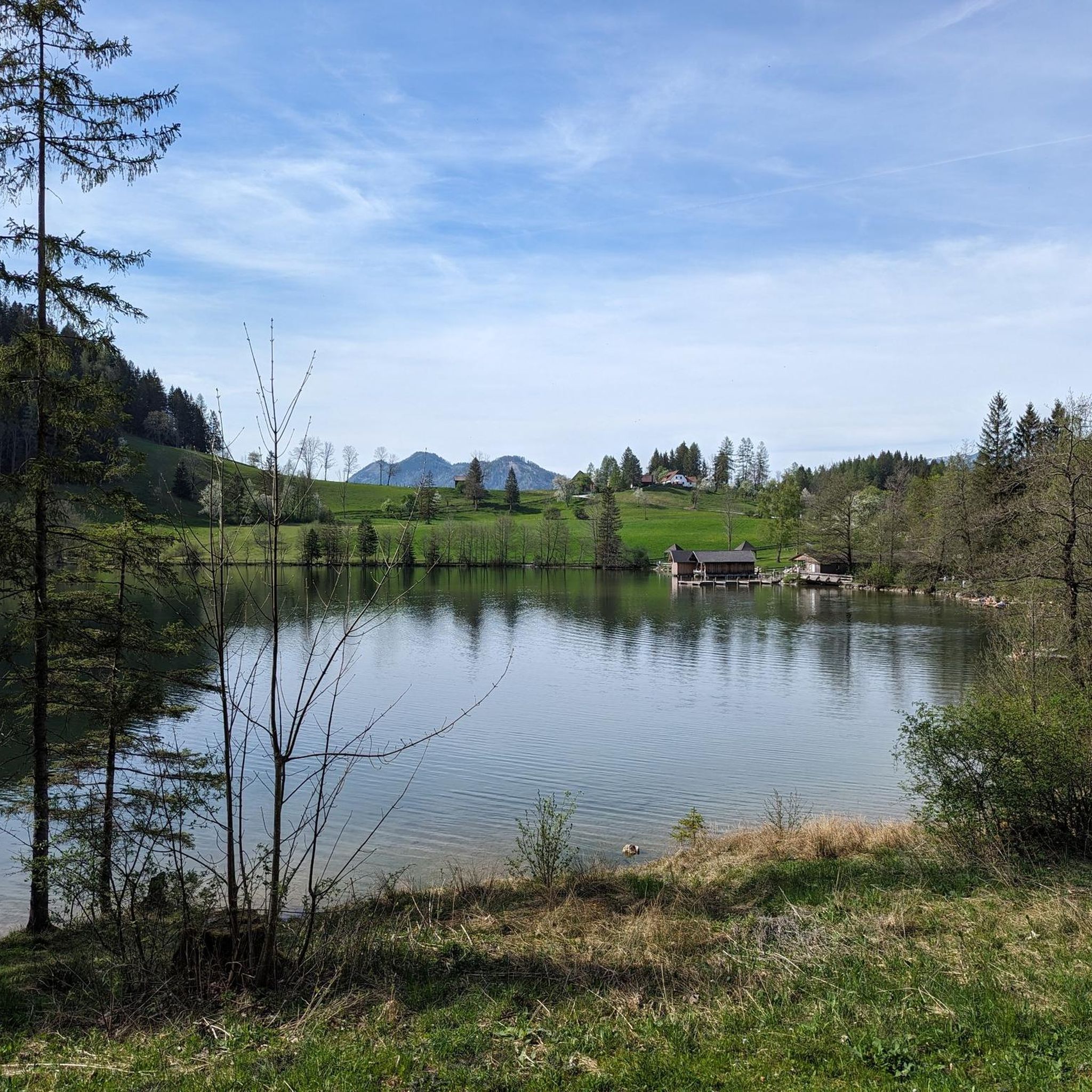
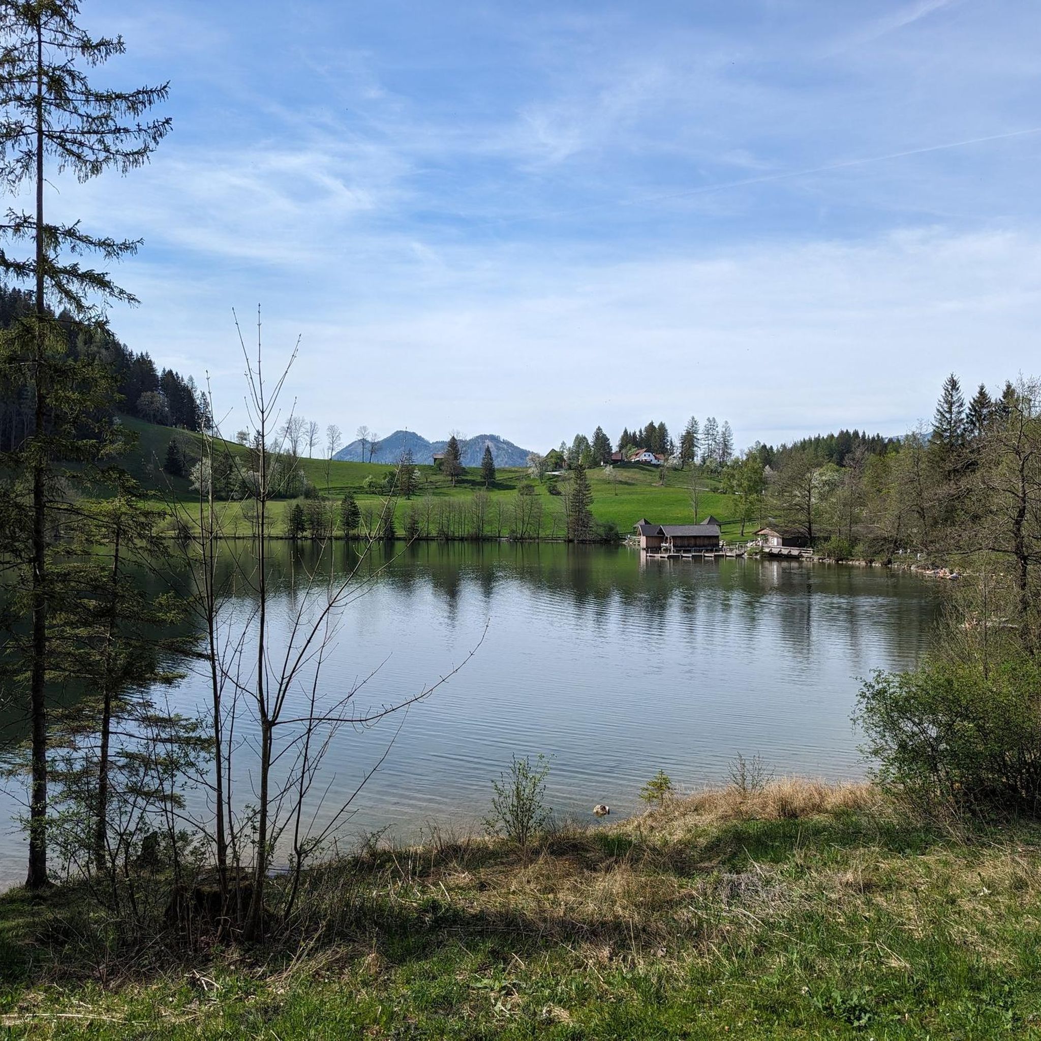
Mountaineering routes around Gleinkersee are set in Upper Austria, at the foot of the Totes Gebirge mountain range, surrounding a glacial lake at 806 meters elevation. The region features dramatic rocky and steeply sloping banks, with lush forests and meadows leading to alpine peaks like Seespitz (1,574 m) and Präwald mountain (1,227 m). This diverse terrain offers a range of paths from forest trails to challenging alpine ascents.
Best mountaineering routes around Gleinkersee
- The most popular mountaineering route is Gleinkersee…
Last updated: May 20, 2026
4.8
(5)
126
hikers
11.7km
05:55
1,000m
1,000m
Hard mountaineering route. Very good fitness required. Mostly accessible paths. Sure-footedness required.
4.0
(5)
95
hikers
9.07km
04:45
770m
770m
Moderate mountaineering route. Good fitness required. Mostly accessible paths. Sure-footedness required.

Sign up for free
56
hikers
6.37km
03:43
670m
660m
Moderate mountaineering route. Good fitness required. Mostly accessible paths. Sure-footedness required.
4.5
(2)
35
hikers
13.4km
06:13
930m
930m
Hard mountaineering route. Very good fitness required. Mostly accessible paths. Sure-footedness required.
11
hikers
9.61km
04:30
760m
760m
Moderate mountaineering route. Good fitness required. Mostly accessible paths. Sure-footedness required.
Get access to more routes and recommendations from other explorers.
Sign up for free
Already have an account?
Our route recommendations are based on thousands of hikes, rides, and runs completed by other people on komoot.
Start today with a free account
Your next adventure awaits.
Login or Signup
Tips from the Community

Cozy beer garden and great food selection!
0
0

Fantastic stop with a delicious menu, a beautiful beer garden under umbrellas, and an entertaining game and mountain panorama!
1
0

Camping-swimming-eating. You can spend some lovely hours here. Closed in winter, opens again in spring.
2
0

The access paths should not be underestimated! Rockfall etc.
5
0

Very spacious and cleanly maintained
1
0


Very beautiful and not overcrowded mountain lake!
2
0

Very idyllically situated and there is a good refreshment station at the Seebauern.
1
0
Frequently Asked Questions
What is the overall difficulty level of mountaineering routes around Gleinkersee?
The Gleinkersee region offers a diverse range of mountaineering routes. You'll find a few easy options, but the majority are either moderate (29 routes) or difficult (35 routes), catering to those with good fitness and sure-footedness. In total, there are over 60 mountaineering routes to explore.
Are there any challenging mountaineering routes for experienced adventurers?
Yes, for experienced mountaineers seeking a challenge, the region offers several difficult routes. One notable option is the Gleinkersee – Dümlerhütte loop from Seebach, which is 7.3 miles (11.8 km) long with over 1,000 meters of elevation gain, taking approximately 6 hours to complete through alpine terrain.
What kind of terrain can I expect on mountaineering routes around Gleinkersee?
Mountaineering routes around Gleinkersee feature varied terrain, from lush forest paths and meadows to dramatic rocky and steeply sloping banks. You'll encounter alpine ascents, some with steps and protections, leading to peaks like Seespitz and Präwald mountain, offering breathtaking panoramic views of the Totes Gebirge.
Are there any circular mountaineering routes in the Gleinkersee area?
Yes, several routes are designed as loops, allowing you to start and end at the same point. A popular moderate option is the Gleinkersee – Seespitz Summit Cross loop from Seebach, which is 5.6 miles (9.0 km) long and offers expansive views from the summit.
What natural features or viewpoints can I expect to see on these routes?
The routes offer stunning natural beauty. You'll experience the crystal-clear, green-shimmering water of Gleinkersee itself, and from higher elevations like Seespitz, you can enjoy panoramic views of Warscheneck, Spitzmauer, Prielkamm, Hohe Nock, and Hallermauer. The area is also characterized by its healthy forests and the impressive Totes Gebirge mountain range.
What do other mountaineers enjoy most about the Gleinkersee area?
The mountaineering routes around Gleinkersee are highly rated by the komoot community, with an average score of 4.8 stars from over 100 reviews. Mountaineers often praise the diverse terrain, from the serene lake to challenging alpine ascents, and the stunning panoramic views from the peaks.
Are there any shorter mountaineering routes suitable for a half-day trip?
For a shorter mountaineering experience, consider the Seespitz Summit Cross loop from Seebach. This moderate 3.0 miles (4.8 km) trail can typically be completed in about 3 hours 27 minutes, leading through varied mountain landscapes.
What is the best time of year for mountaineering around Gleinkersee?
Gleinkersee is beautiful year-round, but for mountaineering, the warmer months from late spring to early autumn are generally ideal. The lake itself is one of Austria's warmest bathing lakes in summer, reaching up to 25°C, making it pleasant for post-hike dips. Always check local weather conditions before heading out, especially for higher alpine routes.
Are there any other activities available around Gleinkersee besides mountaineering?
Yes, Gleinkersee offers a variety of outdoor activities. You can swim, boat, kayak, or stand-up paddleboard on the lake. There's also an adventure park with a high ropes course and a Flying Fox zipline. Fishing is popular, and you can explore nature trails or visit the impressive source of the Pießling.
Can I find any routes that involve a mountain hut for a break or overnight stay?
Yes, some routes incorporate mountain huts. For instance, the Dümlerhütte – Sensenschmiede Roßleithen loop from Roßleithen is a moderate 9.9 km route that includes the Dümlerhütte, offering a chance to rest and refuel amidst your mountaineering adventure.
Is there a route that takes me to a prominent peak with extensive views?
Absolutely. The ascent to Seespitz (1,575 m) is a popular choice for panoramic views. A moderate route like the Gleinkersee – Seespitz Summit Cross loop from Seebach will lead you to this summit, where you can take in the expansive vistas of the surrounding peaks.
Most popular routes around Gleinkersee

Get inspired with the komoot mobile app


Explore more
Browse the best Mountain Hikes & Routes in other regions.
