The best walks and hikes around Unterer Bockhartsee
4.6
(7095)
38,895
hikers
260
hikes
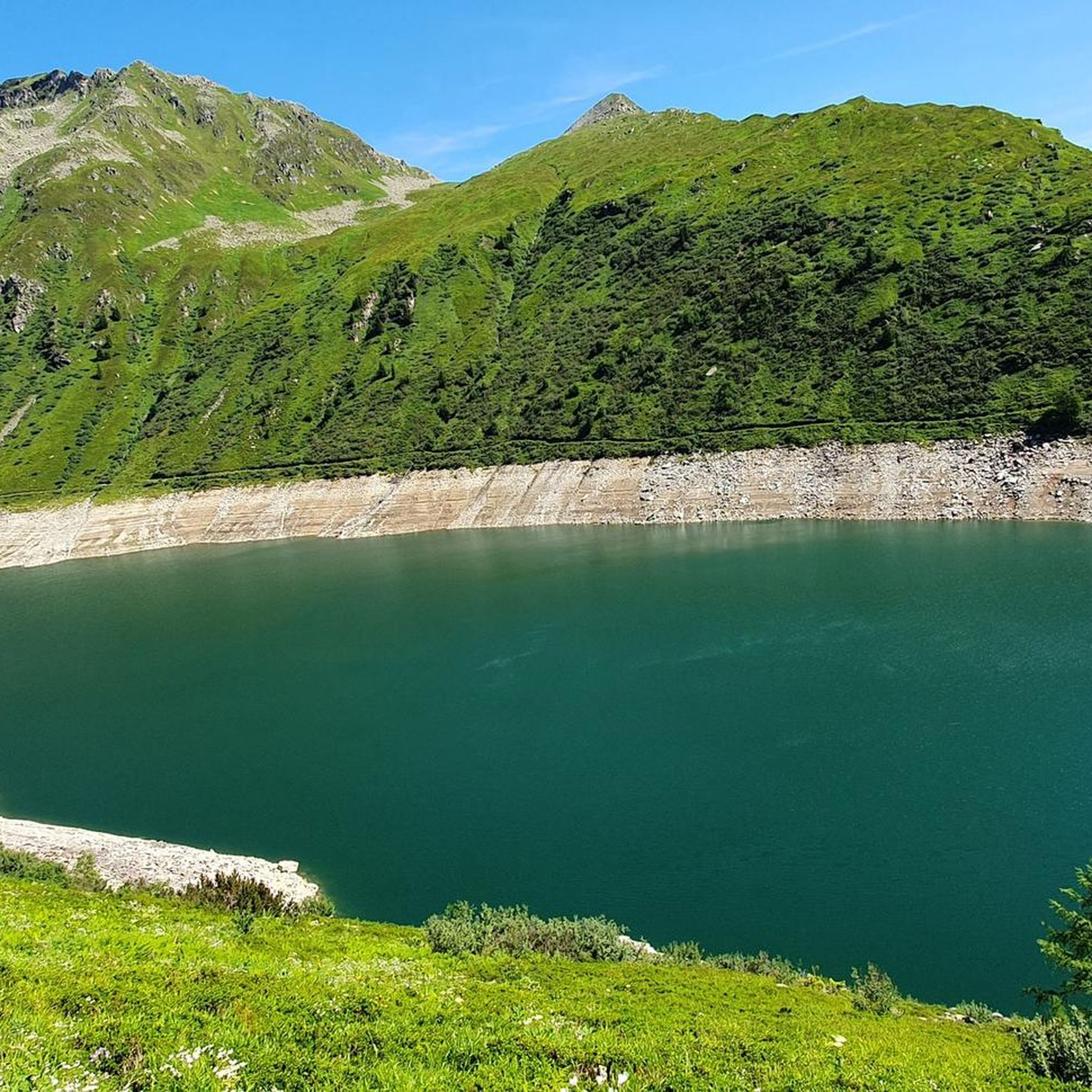
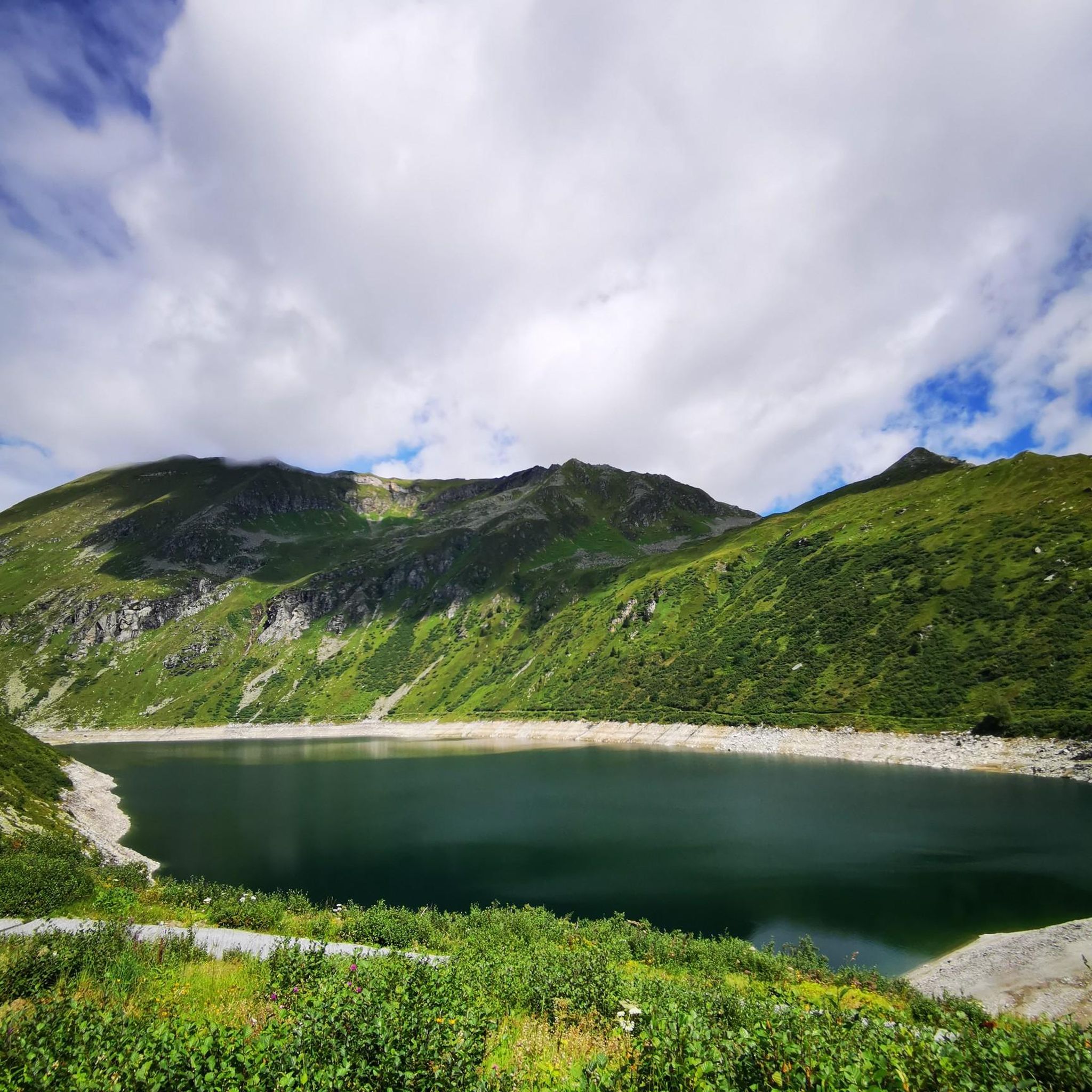
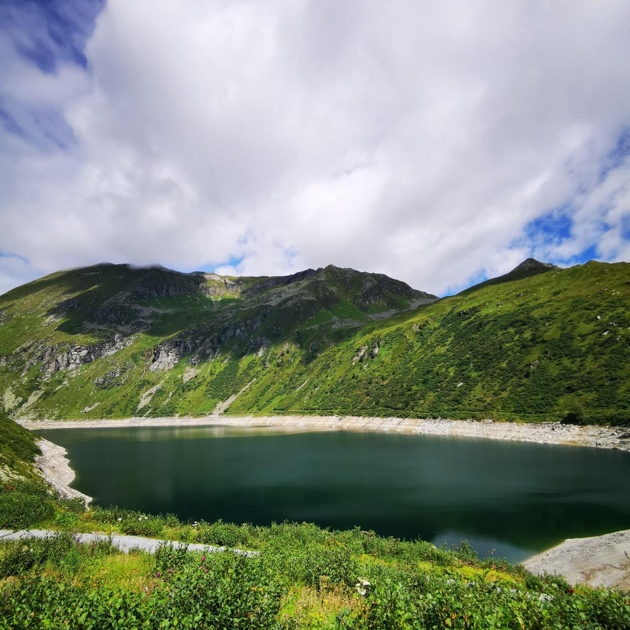
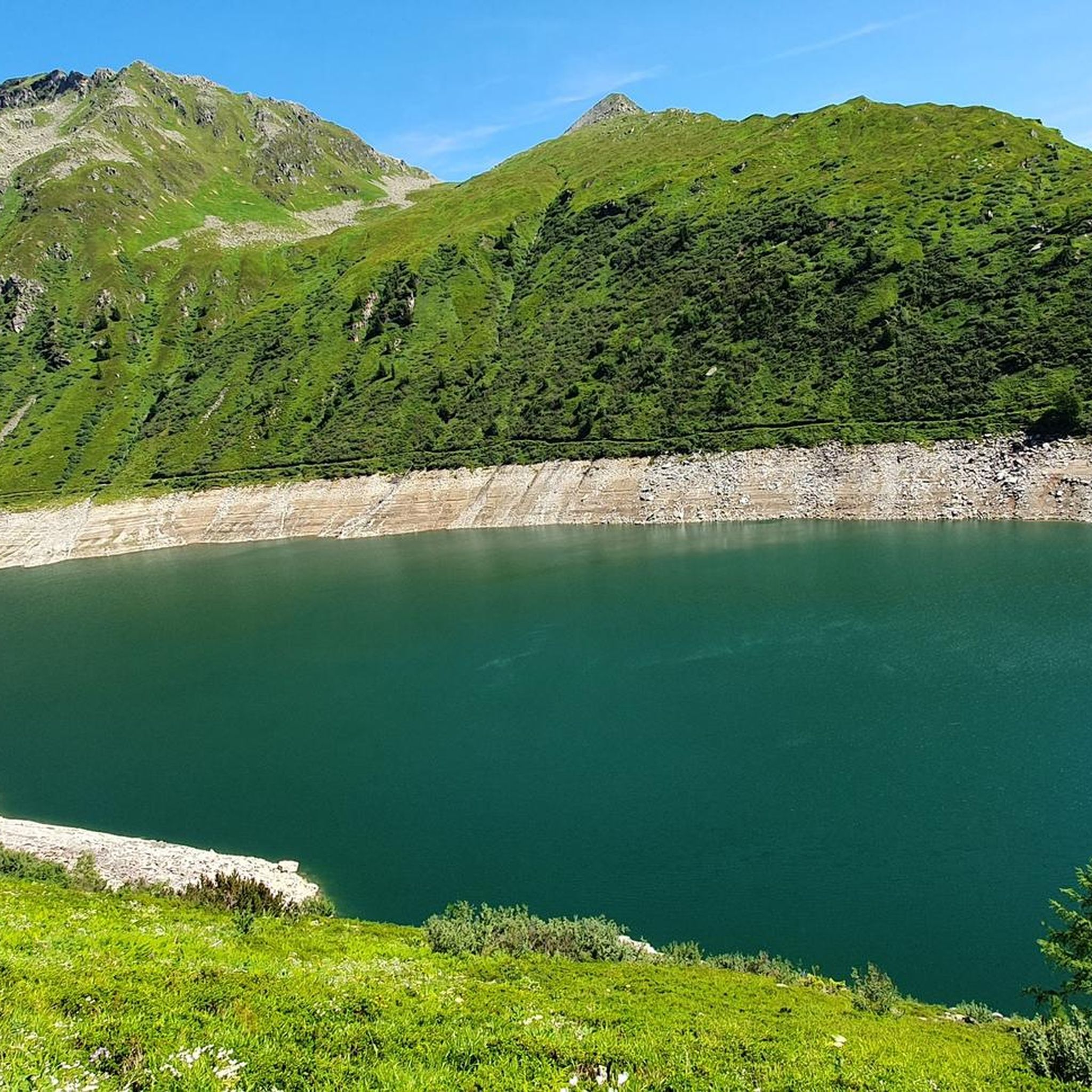
Hiking around Unterer Bockhartsee offers diverse landscapes within the Sportgastein region, characterized by its prominent dark-blue mountain lake situated at 1,872 meters. The area provides panoramic views of the Gasteiner Nassfeld and the Hohe Tauern mountain range, known for its alpine environment. Numerous mountain streams and waterfalls, fed by meltwater, crisscross the landscape, adding to its natural features. This region, often referred to as the "most beautiful valley head in Hohe Tauern National Park," features varied terrain suitable for different hiking experiences.
Best hiking trails around Unterer Bockhartsee
- The most popular hiking route is Bockhartsee Hut – Lower Bockhartsee loop from Bockhartseehütte, a 2.3 miles (3.7 km) trail that takes 1 hour 16 minutes to complete. This loop offers views of the Lower Bockhartsee from the Bockhartseehütte.
- Another top favourite among local hikers is Bockhart Lakes, a moderate 5.3 miles (8.6 km) path. This route explores both the Lower and Upper Bockhartsee, providing extensive alpine scenery.
- Local hikers also love the Nassfeld Nature Trail (Large Loop), a 4.4 miles (7.1 km) trail leading through alpine pastures and historical sites, often completed in about 2 hours 8 minutes.
- Hiking around Unterer Bockhartsee is defined by mountain lakes, an alpine environment, and mountain streams within the Hohe Tauern mountain range. The network offers options for easy, moderate, and difficult ability levels.
- The routes in Unterer Bockhartsee are highly rated by the komoot community with an average score of 4.6 stars from over 6,800 reviews. More than 37,000 hikers have used komoot to explore Unterer Bockhartsee's varied terrain.
Last updated: July 8, 2026
5.0
(1)
13
hikers
3.74km
01:17
80m
80m
Moderate hike. Great for any fitness level. Mostly accessible paths. Sure-footedness required.
4.8
(141)
685
hikers
8.57km
03:52
530m
530m
Moderate hike. Good fitness required. Mostly accessible paths. Sure-footedness required.

Sign up for free
4.9
(65)
315
hikers
7.14km
02:09
190m
190m
Hike the moderate 4.4-mile Nassfeld Nature Trail in Hohe Tauern National Park, exploring alpine pastures and historical sites.
4.7
(24)
169
hikers
13.5km
05:48
840m
840m
Hard hike. Very good fitness required. Sure-footedness, sturdy shoes and alpine experience required.
4.8
(18)
104
hikers
13.9km
05:06
670m
670m
Hard hike. Very good fitness required. Mostly accessible paths. Sure-footedness required.
Get access to more routes and recommendations from other explorers.
Sign up for free
Already have an account?
Our route recommendations are based on thousands of hikes, rides, and runs completed by other people on komoot.
Start today with a free account
Your next adventure awaits.
Login or Signup
Tips from the Community

Bench with a great view
0
0

We were there 2 days ago, it was very beautiful up there even in autumn.
1
0

There is a good path around the lake.
0
0

Such an enchantingly beautiful place, and you can even reach it by public transport. I'm enchanted.
1
0
Very modern, well-equipped hut, but also more expensive, especially the breakfast at 22 euros.
0
0

Frequently Asked Questions
How many hiking trails are available around Unterer Bockhartsee?
The Unterer Bockhartsee region offers a wide variety of hiking experiences, with over 260 trails to explore. These routes cater to different skill levels, ensuring there's something for everyone.
What are the different difficulty levels for hiking trails in the Unterer Bockhartsee area?
Hikers can choose from a range of difficulties. There are approximately 50 easy trails, around 130 moderate routes, and about 80 more challenging, difficult hikes available in the region.
Are there family-friendly hiking options around Unterer Bockhartsee?
Yes, the area provides several suitable options for families. Shorter, less strenuous paths around the Lower Bockhartsee are ideal, offering beautiful scenery without excessive difficulty. The Nassfeld Nature Trail (Large Loop) is a moderate 4.4-mile path that explores alpine pastures and historical sites, which can be an engaging option for families with older children.
Can I bring my dog on the hiking trails near Unterer Bockhartsee?
Generally, dogs are welcome on hiking trails in the Unterer Bockhartsee region. However, it's always recommended to keep them on a leash, especially in areas with livestock or wildlife, and to ensure you clean up after them. Be mindful that some steeper sections or wooden stairs might be challenging for smaller or older dogs.
Are there any circular hiking routes around Unterer Bockhartsee?
Yes, several circular routes allow you to experience the diverse landscape. A popular choice is the Bockhartsee Hut – Lower Bockhartsee loop from Bockhartseehütte, a 2.3-mile trail offering views of the lake. Another excellent option is the Nassfeld Nature Trail (Large Loop), which is a 4.4-mile loop through alpine pastures and historical sites.
What natural features or viewpoints can I expect to see while hiking?
Hikers are treated to breathtaking panoramic views of the Gasteiner Nassfeld and the majestic Hohe Tauern mountain range. The dark-blue Lower Bockhartsee itself is a prominent feature, and you can also continue to the smaller Upper Bockhartsee. The region is rich in rare plants, numerous mountain streams, and waterfalls fed by meltwater, adding to its natural beauty. You might also spot ruins and dilapidated tunnel entrances from its gold mining history.
Where can I park when hiking in the Unterer Bockhartsee area?
The primary starting point for many hikes, including those to the Bockhartsee, is the parking lot at the Valeriehaus in Sportgastein (at an elevation of 1588m). This is a convenient base for accessing various trails in the region.
What is the best time of year to hike around Unterer Bockhartsee?
The best time to hike around Unterer Bockhartsee is typically during the warmer months, from late spring to early autumn (roughly June to September). During this period, the trails are generally free of snow, and the alpine flora is in bloom. Always check local weather conditions before heading out, as mountain weather can change rapidly.
What do other hikers enjoy the most about hiking in Unterer Bockhartsee?
The area is highly rated by the komoot community, with an average score of 4.6 stars from over 6,800 reviews. Hikers frequently praise the stunning panoramic views of the Hohe Tauern, the serene beauty of the mountain lakes, and the diverse terrain that offers both challenging ascents and enjoyable descents.
Are there any longer or more challenging hikes available for experienced hikers?
Yes, for more adventurous and experienced hikers, there are several challenging routes. Beyond the Lower Bockhartsee, you can continue to the Upper Bockhartsee, which involves an additional 200-meter ascent, and even further to the Bockhard Scharte. A demanding option is the From Sportgastein to the Hagener Hütte, which covers over 8 miles with significant elevation gain.
Are there any mountain huts or places for refreshments along the trails?
Yes, a popular stop for refreshments is the Bockhartseehütte, located at 1933m. It's often reached via the well-marked Ruperti hiking trail from the Valeriehaus parking lot and provides a welcome break during your hike.
Can I explore both the Lower and Upper Bockhartsee on a single hike?
Absolutely. The Bockhart Lakes route is a moderate 5.3-mile path specifically designed to explore both the Lower and Upper Bockhartsee, providing extensive alpine scenery and a comprehensive experience of the area's prominent lakes.
Most popular routes around Unterer Bockhartsee

Get inspired with the komoot mobile app


Explore more
Browse the best Hikes in other regions.
