The best mountain hikes around Salzastausee
5.0
(25)
397
hikers
12
hikes
Mountaineering around Salzastausee is characterized by challenging alpine terrain, featuring prominent summits and high-altitude lakes. The region offers demanding ascents through varied mountain landscapes. These routes often involve significant elevation gain and traverse rugged, exposed areas.
Best mountaineering routes around Salzastausee
- The most popular mountaineering route is Grimming Summit loop from Skiflugschanze Kulm, a 5.8 miles (9.3 km) trail that takes 6 hours 49 minutes to complete. This difficult route offers panoramic views from the summit.
- Another top favourite…
Last updated: July 5, 2026
4.8
(8)
136
hikers
9.27km
06:49
1,320m
1,320m
Hard mountaineering route. Very good fitness required. Sure-footedness, sturdy shoes and alpine experience required.
35
hikers
13.0km
07:12
1,280m
1,280m
Hard mountaineering route. Very good fitness required. Sure-footedness, sturdy shoes and alpine experience required.

Sign up for free
5.0
(1)
21
hikers
8.50km
06:16
1,220m
1,220m
Hard mountaineering route. Very good fitness required. Sure-footedness, sturdy shoes and alpine experience required.
5.0
(3)
71
hikers
8.20km
03:32
430m
430m
Hard mountaineering route. Good fitness required. Sure-footedness, sturdy shoes and alpine experience required.
5.0
(8)
48
hikers
14.5km
04:43
470m
470m
Hard mountaineering route. Good fitness required. Sure-footedness, sturdy shoes and alpine experience required.
Get access to more routes and recommendations from other explorers.
Sign up for free
Already have an account?
Our route recommendations are based on thousands of hikes, rides, and runs completed by other people on komoot.
Start today with a free account
Your next adventure awaits.
Login or Signup
Tips from the Community

Many options for hiking short, long loops or summits.
0
0


Way to the via ferrata?
0
0


Cycling is prohibited from the parking lot, but as long as you stay on the road to Steirersee and cycle carefully and at a leisurely pace, there will be no problems.
0
0

scenically beautiful endpoint with a view of the Dachstein after a long but beautiful ascent with the MTB
0
0

Nice hike around the lake, but very crowded on some days
0
0

For me the most beautiful lake on the 6 Lakes Trail
0
0
Frequently Asked Questions
What is the general difficulty level of mountaineering routes around Salzastausee?
Mountaineering around Salzastausee is characterized by challenging alpine terrain. All 13 routes listed in this guide are rated as difficult, involving significant elevation gain and often traversing rugged, exposed areas. They are primarily suited for experienced mountaineers.
What are the typical lengths and durations of mountaineering routes in this area?
The mountaineering routes around Salzastausee vary in length and duration. For instance, the Grimming Summit loop from Skiflugschanze Kulm is about 5.8 miles (9.3 km) and takes approximately 6 hours 49 minutes. Longer routes, like the Grazer Hut – Steirersee loop from Tauplitz, stretch over 12.8 miles (20.6 km) and can take around 7 hours 25 minutes.
Are there parking facilities available for mountaineers near Salzastausee?
Yes, many trailheads for mountaineering routes around Salzastausee offer parking. For example, routes like the Grimming Summit loop typically start from accessible points such as Skiflugschanze Kulm, where parking is usually available. It's always advisable to check specific route details for precise parking information.
Can I reach the mountaineering trails around Salzastausee by public transport?
While some starting points might be accessible by public transport, many mountaineering routes in alpine regions like Salzastausee are best reached by car due to their remote nature. It's recommended to research local bus schedules or consider carpooling for specific trailheads if you plan to use public transport.
Are there any family-friendly mountaineering options around Salzastausee?
The mountaineering routes around Salzastausee are generally rated as difficult and involve significant challenges, making them less suitable for young children or beginners. These trails are primarily designed for experienced mountaineers seeking demanding ascents. For family-friendly options, you might consider easier hiking trails in the broader region.
When is the best time of year for mountaineering around Salzastausee?
The best time for mountaineering around Salzastausee is typically from late spring to early autumn (June to September). During these months, snow has usually melted from higher elevations, and weather conditions are generally more stable, offering clearer paths and better visibility. Always check local weather forecasts before heading out.
Are there mountain huts or refreshment stops along the mountaineering routes?
Yes, some routes incorporate mountain huts, offering a chance for refreshment or an overnight stay. For example, the Traweng Summit Cross – Grazer Hut loop from Krallersee passes by the Grazer Hut, providing a welcome stop during your ascent.
What natural attractions or points of interest can I see while mountaineering in Salzastausee?
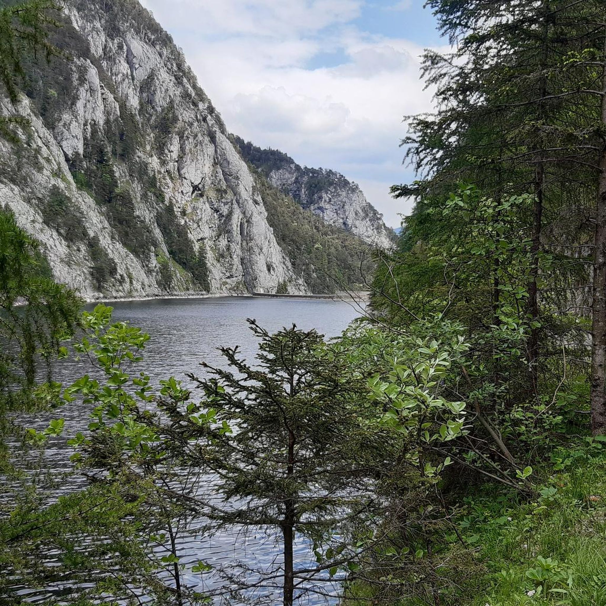
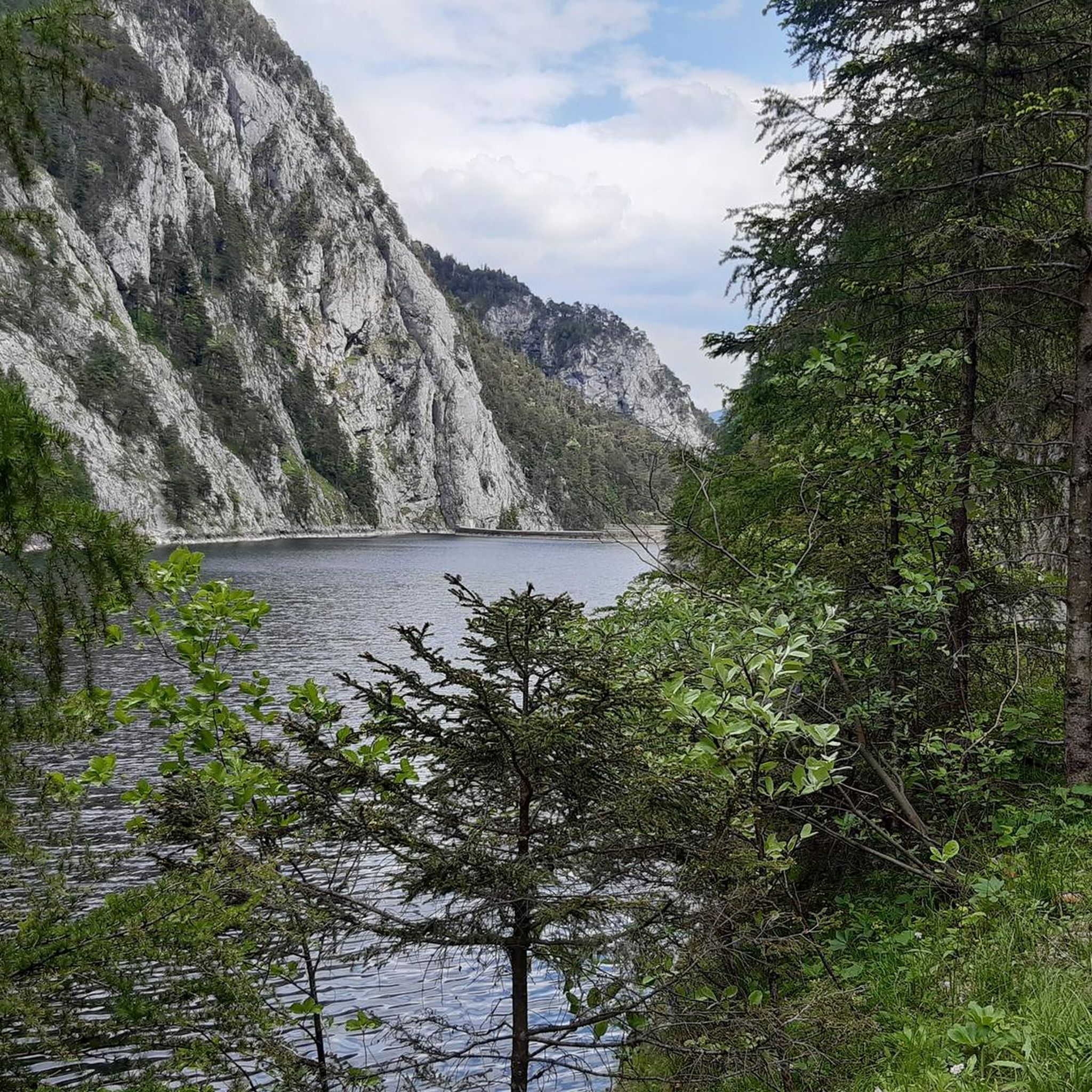
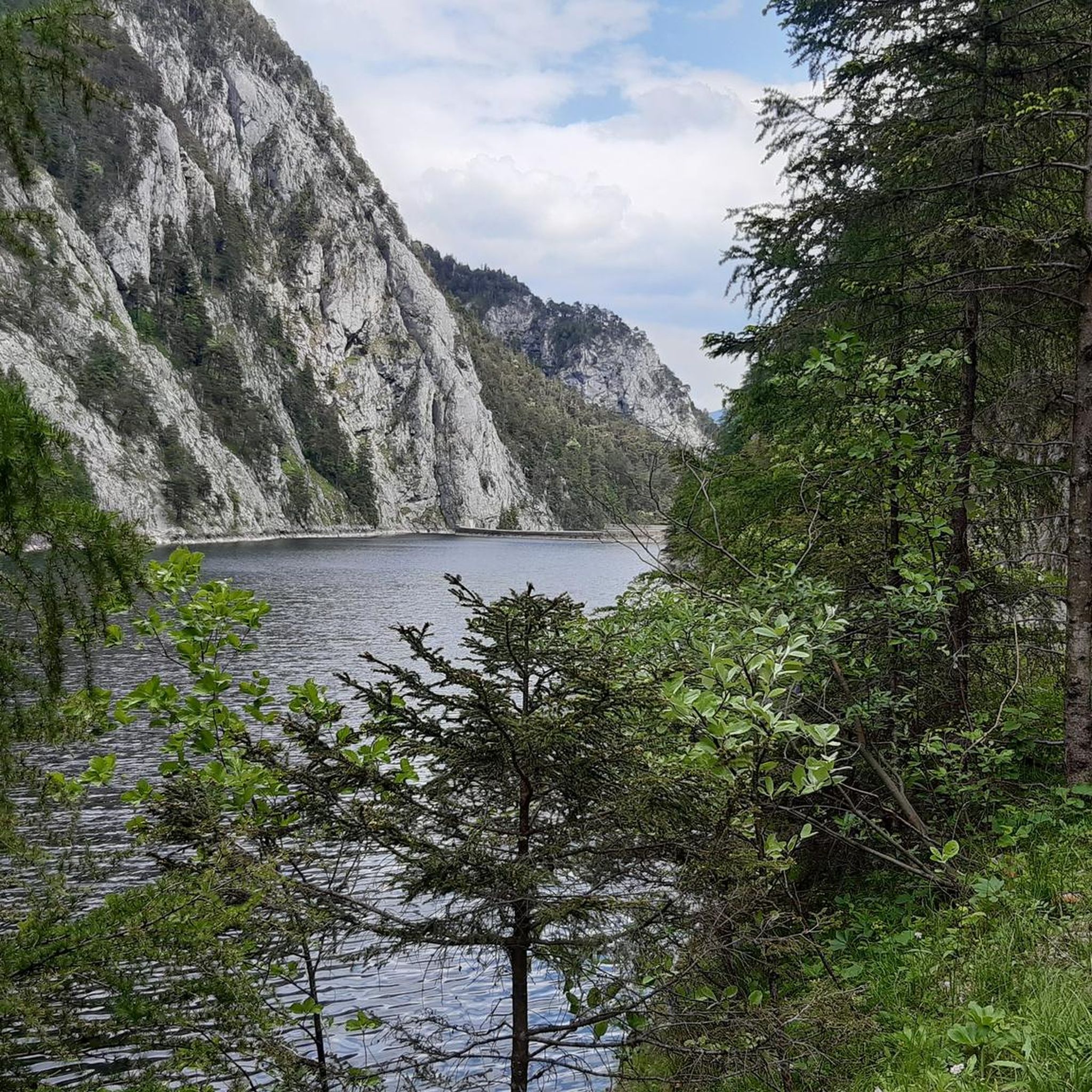
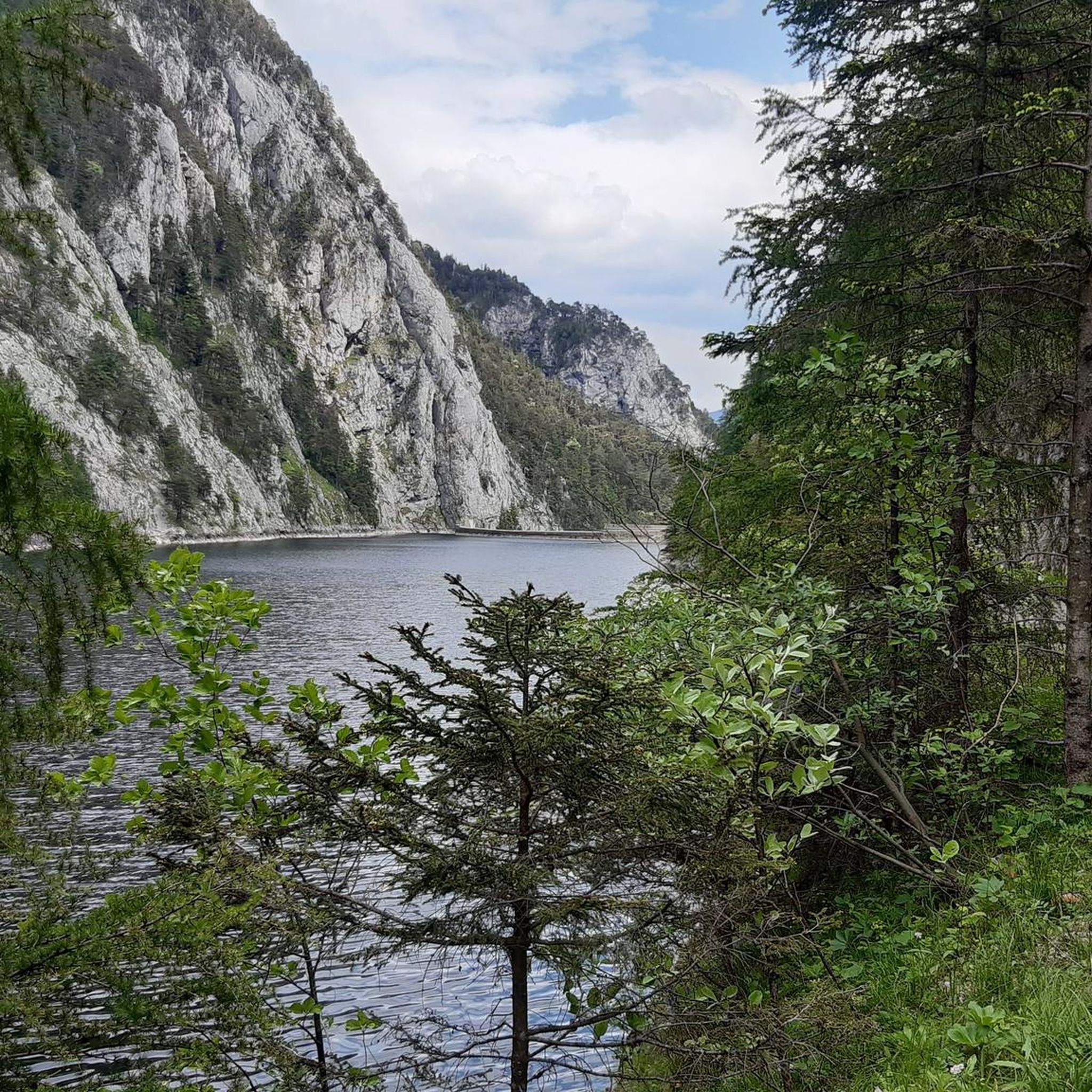
Mountaineering routes around Salzastausee offer stunning natural beauty, including prominent summits and high-altitude lakes. You can experience views of the Großsee and Fairy Lake on routes like the View of Großsee – Fairy Lake loop from Krallersee, or enjoy the serene beauty of the Steirersee on the Grazer Hut – Steirersee loop.
Are there circular mountaineering routes available around Salzastausee?
Yes, many of the mountaineering routes around Salzastausee are designed as loops, allowing you to return to your starting point without retracing your steps. Examples include the Kammspitze Summit loop from Gröbming and the Traweng Summit Cross – Grazer Hut loop from Krallersee.
What do other mountaineers say about the routes around Salzastausee?
The mountaineering routes in Salzastausee are highly regarded by the komoot community, with an average rating of 5.0 stars from over 20 reviews. Mountaineers often praise the challenging ascents, panoramic views from the summits, and the pristine high-alpine lake environments.
What essential gear should I bring for mountaineering in Salzastausee?
Given the difficult and exposed nature of these routes, essential gear includes sturdy mountaineering boots, appropriate layered clothing for varying weather conditions, a waterproof jacket, sufficient water and food, a map and compass or GPS device, a first-aid kit, and sun protection. Depending on the season and specific route, crampons or an ice axe might also be necessary.
Are there any less-known or 'hidden gem' mountaineering routes around Salzastausee?
While all routes offer unique experiences, exploring options beyond the most popular ones can lead to quieter trails. Consider the View of Großsee – Fairy Lake loop from Krallersee for a route that combines significant distance with beautiful lake views, offering a rewarding experience away from the busiest paths.
Most popular routes around Salzastausee

Get inspired with the komoot mobile app


Explore more
Browse the best Mountain Hikes & Routes in other regions.
