The best walks and hikes around Farchtensee
4.4
(2334)
11,888
hikers
198
hikes
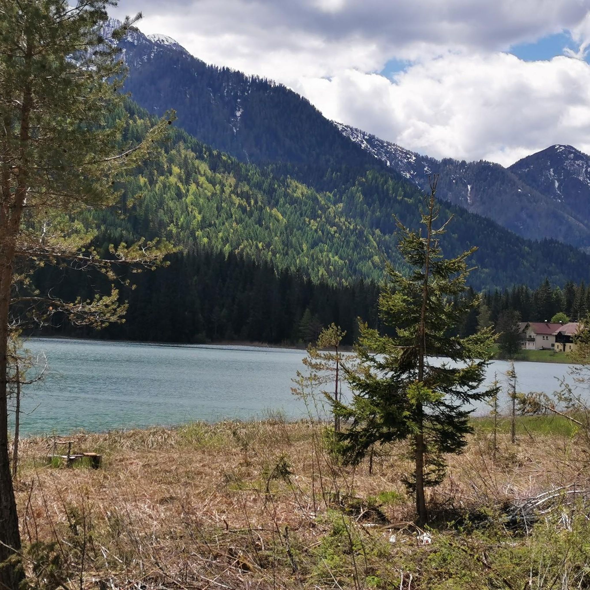
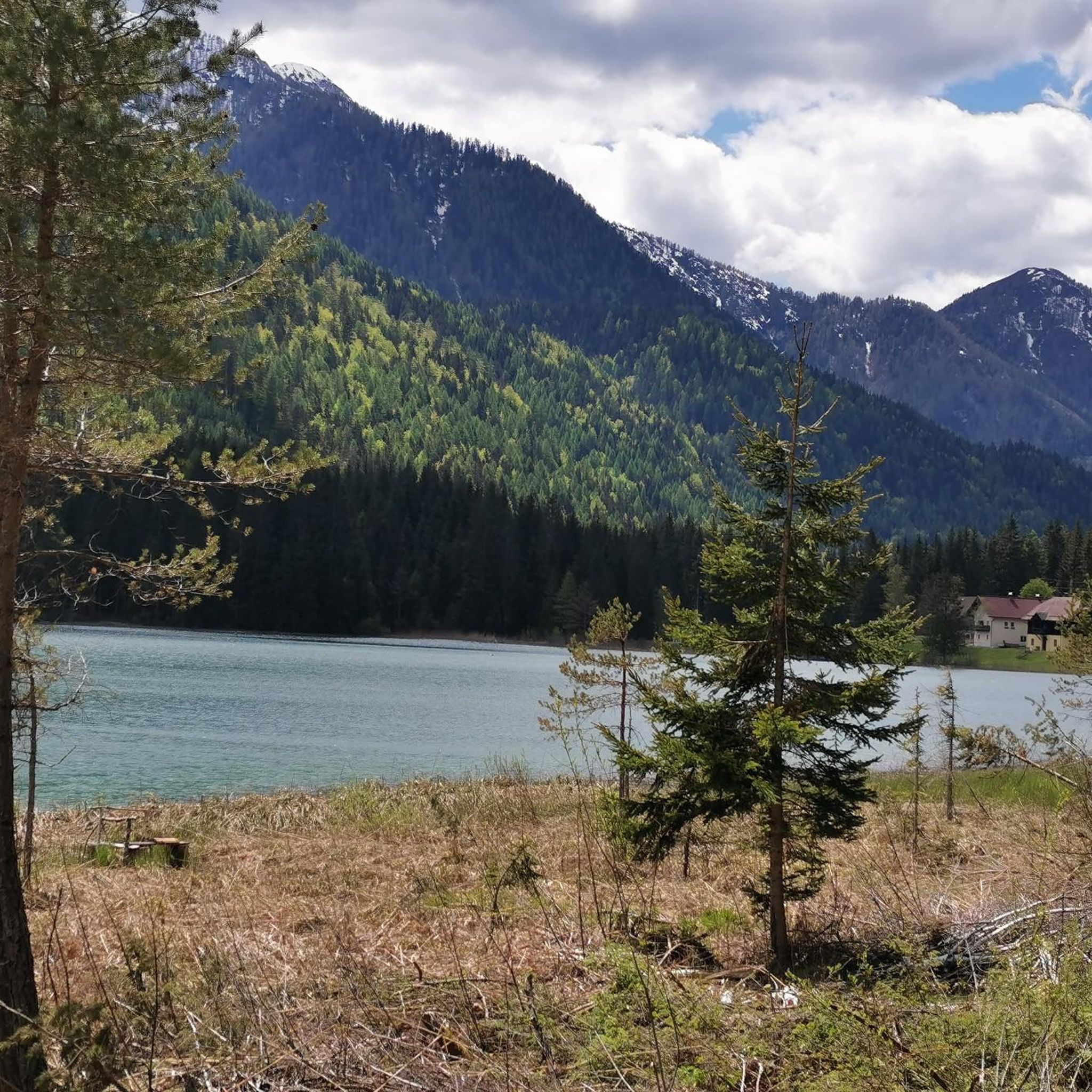
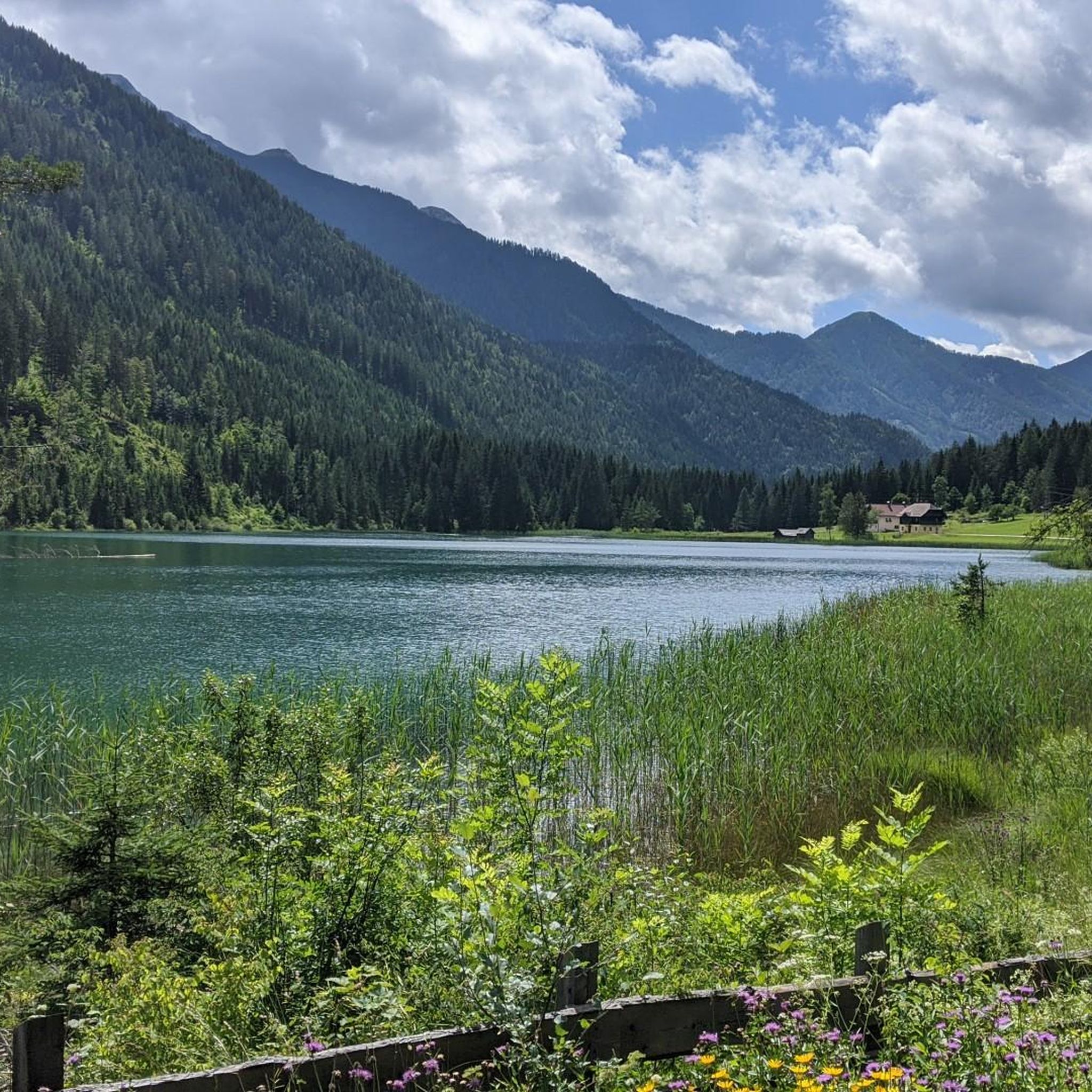
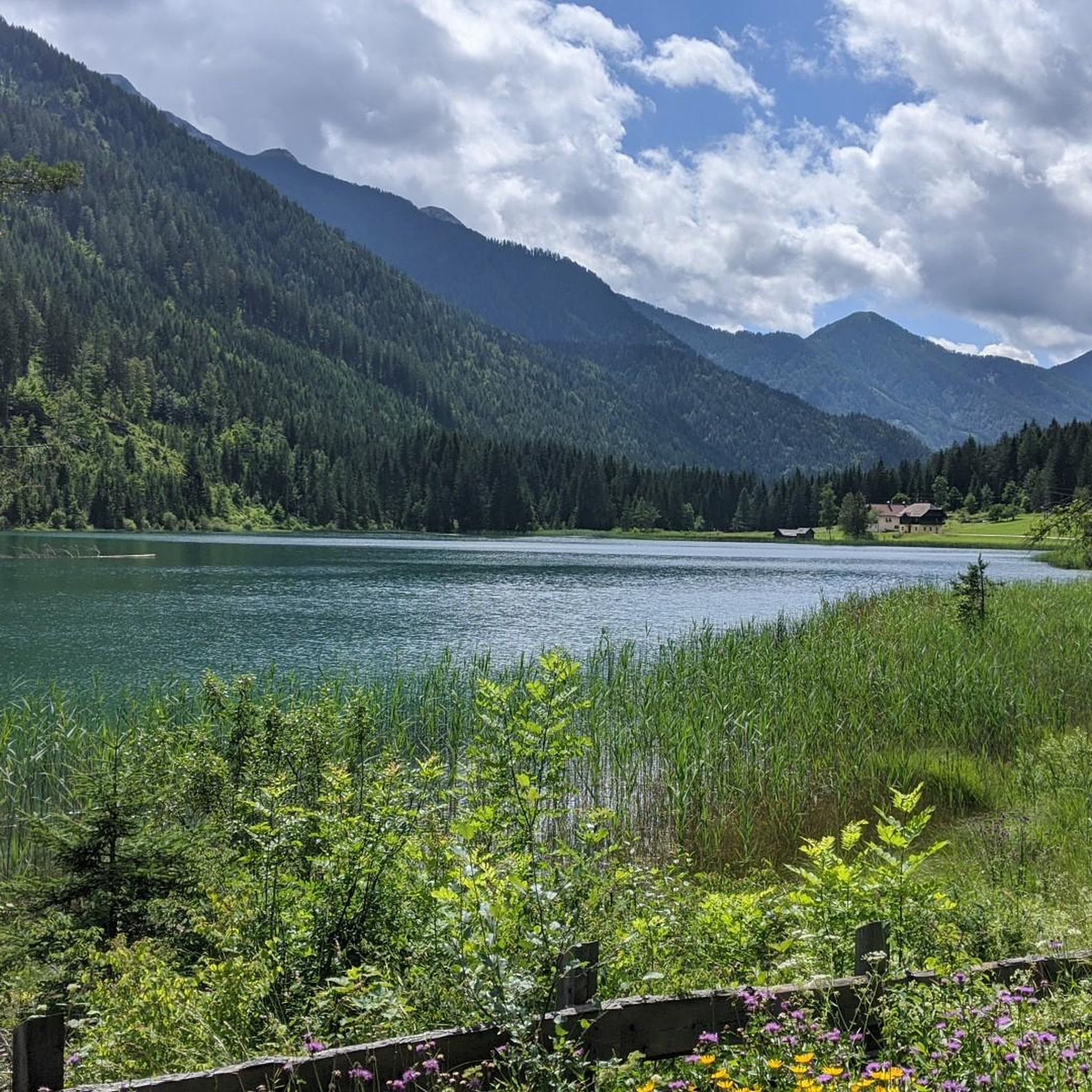
Hiking around Farchtensee offers diverse trails within a 190-hectare protected landscape area in the Gailtal Alps of Carinthia, Austria. The region is characterized by the serene Farchtensee lake, situated at 985 meters above sea level, known for its clear waters. Surrounding the lake, hikers encounter varied terrain including forests, meadows, and the backdrop of the majestic Gailtal Alps. This natural setting provides a range of hiking experiences, from gentle lakeside paths to more challenging mountain ascents.
Best hiking trails around…
Last updated: May 11, 2026
5.0
(1)
11
hikers
11.2km
03:41
530m
530m
Moderate hike. Good fitness required. Easily-accessible paths. Suitable for all skill levels.
5
hikers
7.03km
02:22
370m
370m
Moderate hike. Good fitness required. Easily-accessible paths. Suitable for all skill levels.

Sign up for free
4.6
(16)
62
hikers
11.2km
03:13
280m
280m
Moderate hike. Good fitness required. Easily-accessible paths. Suitable for all skill levels.
5.0
(1)
27
hikers
18.4km
07:34
1,190m
1,190m
Hard hike. Very good fitness required. Sure-footedness, sturdy shoes and alpine experience required.
5.0
(2)
23
hikers
Easy hike. Great for any fitness level. Easily-accessible paths. Suitable for all skill levels.
Get access to more routes and recommendations from other explorers.
Sign up for free
Already have an account?
Our route recommendations are based on thousands of hikes, rides, and runs completed by other people on komoot.
Start today with a free account
Your next adventure awaits.
Login or Signup

Tips from the Community

Parking around the eastern shore is now subject to a fee between midnight and 6 p.m. A full day will cost a maximum of €8.00.
0
0

Summer and winter very nice
0
0

Nice place near the parking lot with an information board listing the sights around the lake.
0
0

Interesting information about the hard life of the people in this valley who made beautiful glass vessels.
0
0

A hike to the Fischeralm, which serves farm delicacies, is always worthwhile. A further hike to the Hermagorer Bodenalm with exhibits and information boards about the former craft of glassmaking in this remote area is also highly recommended.
0
0
A family-run alpine farm with farm delicacies and friendly hospitality.
0
0
The exhibits and display boards provide an interesting insight into glass production in this remote part of the Gailtal Alps. It is worth seeing even for locals, as very few people know about the glass-making past of the alpine pasture.
0
0

The beautiful Catholic chapel is the last remaining building of the Carinthian glassworks.
0
0
Frequently Asked Questions
How many hiking trails are available around Farchtensee?
There are over 200 hiking routes around Farchtensee, offering a wide range of experiences. These include 64 easy trails, 88 moderate routes, and 48 more challenging options, ensuring there's something for every fitness level.
What kind of terrain can I expect on hikes near Farchtensee?
The terrain around Farchtensee is quite varied. You'll find serene lakeside paths, trails winding through lush forests and expansive alpine meadows, and more demanding ascents into the Gailtal Alps. The region's protected landscape area ensures a pristine natural setting.
Are there any family-friendly hiking options around Farchtensee?
Yes, Farchtensee offers several easy hikes and walks suitable for families and those seeking less strenuous routes. These trails often feature accessible paths around the lake, perfect for short excursions. An example is the Stockenboi bathing meadow – East shore of Lake Weissensee loop, which is categorized as easy.
Can I bring my dog on the hiking trails near Farchtensee?
Many trails around Farchtensee are dog-friendly, allowing you to explore the beautiful Carinthian landscape with your canine companion. It's always recommended to keep dogs on a leash, especially in protected areas and near wildlife. While the lake itself is protected, nearby areas might offer opportunities for dogs to cool off.
What are some notable natural features or landmarks to look out for?
Farchtensee itself is a key natural feature, known for its clear waters and being home to various fish species and Carinthia's highest population of noble crayfish. The surrounding Gailtal Alps provide a majestic backdrop. You'll also encounter diverse landscapes including forests and meadows. The region is close to other notable bodies of water like Lake Weissensee, which can be explored via trails such as the Stockenboi bathing meadow – East shore of Lake Weissensee loop.
Are there any circular hiking routes around Farchtensee?
Yes, there are several circular routes available. For instance, the Gasser Alm loop from Farchtensee is a popular moderate option, offering alpine views. Another is the Hiking loop from Farchtensee, which provides varied forest and lakeside scenery.
What is the best time of year to go hiking in Farchtensee?
The mild climate of Carinthia generally makes hiking around Farchtensee enjoyable across different seasons. Spring and autumn offer pleasant temperatures and vibrant scenery, while summer is ideal for combining hikes with swimming in the region's warm bathing lakes. Winter hiking is also possible, though specific trail conditions and snow levels should be checked.
How do other hikers rate the trails in Farchtensee?
The hiking trails in Farchtensee are highly regarded by the komoot community, holding an impressive average rating of 4.4 out of 5 stars from over 2,300 reviews. Hikers often praise the serene lake views, the diverse natural settings, and the well-maintained paths that cater to various ability levels.
Is public transport available to reach Farchtensee or nearby trailheads?
While specific bus or train routes directly to Farchtensee village (Weißenbach) might vary, the broader Carinthian region is generally well-connected. It's advisable to check local public transport schedules for connections to Weißenbach, which serves as a common starting point for many trails, including the Fischeralm – Bodenalm Hut loop from Weißenbach.
Are there any challenging hikes for experienced trekkers?
Yes, Farchtensee offers more challenging options for experienced hikers. The Fischeralm – Fischeralm loop from Weißenbach is a difficult 18.4 km trail with significant elevation gain, leading through alpine meadows and forests, typically taking over 7 hours to complete.
Where can I find parking for hiking trails around Farchtensee?
Parking is generally available at common starting points for hikes, particularly in and around Weißenbach, the village closest to Farchtensee. Look for designated parking areas near trailheads to ensure convenient access to your chosen route.
Are there any permits required for hiking in the Farchtensee area?
Farchtensee is situated within a protected landscape area. Generally, no specific hiking permits are required for standard trails. However, it's always good practice to respect local regulations, stay on marked paths, and be mindful of the natural environment.
Most popular routes around Farchtensee

Get inspired with the komoot mobile app


Explore more
Browse the best Hikes in other regions.
