The best mountain hikes around Vermunt-Stausee
4.9
(174)
1,645
hikers
58
hikes
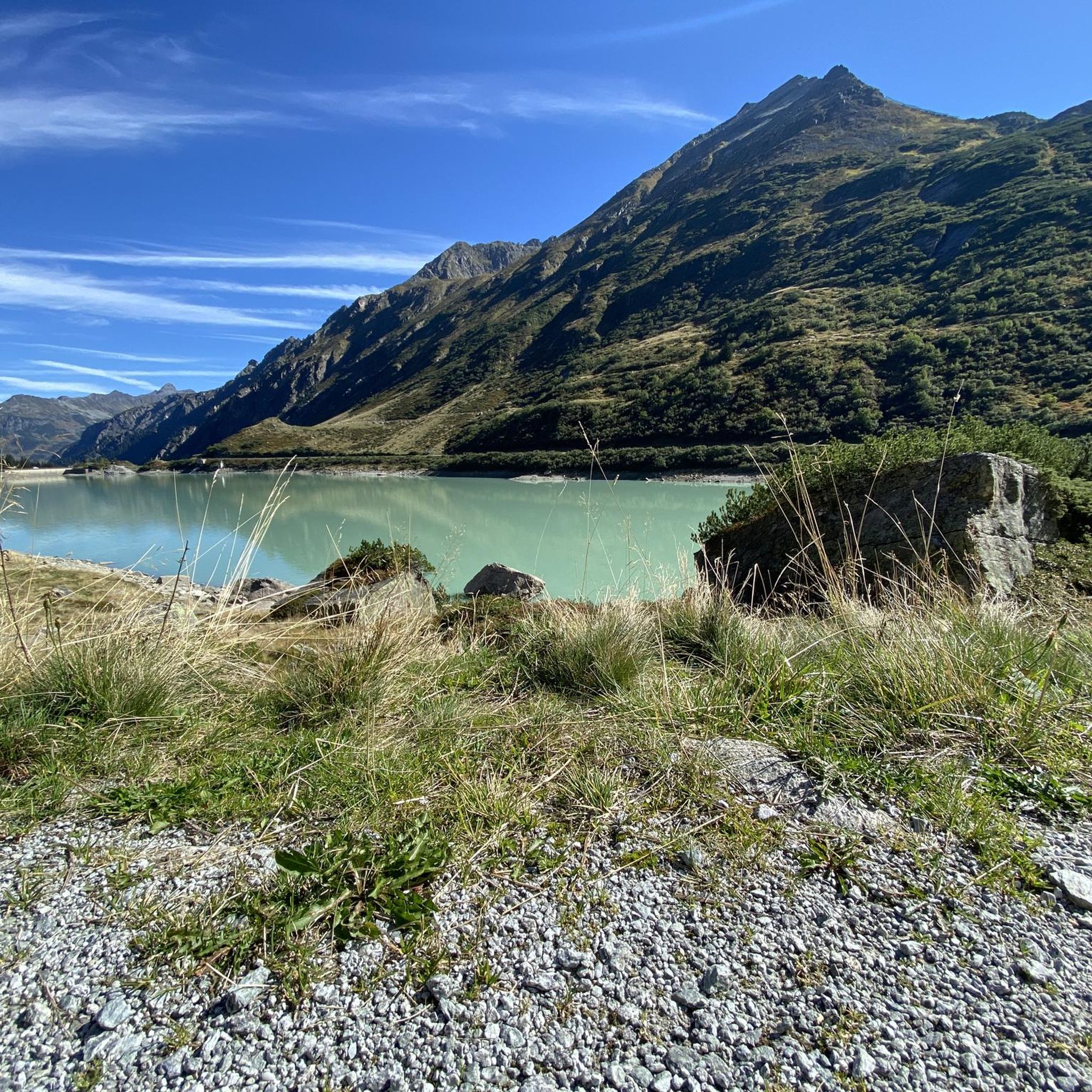
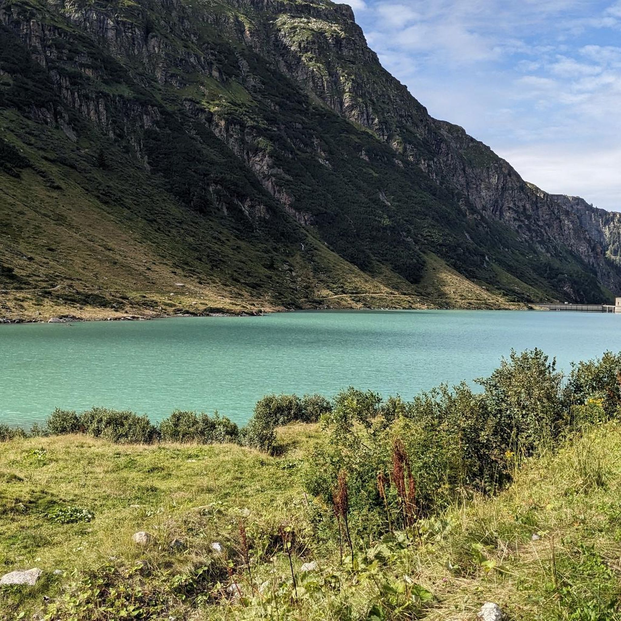
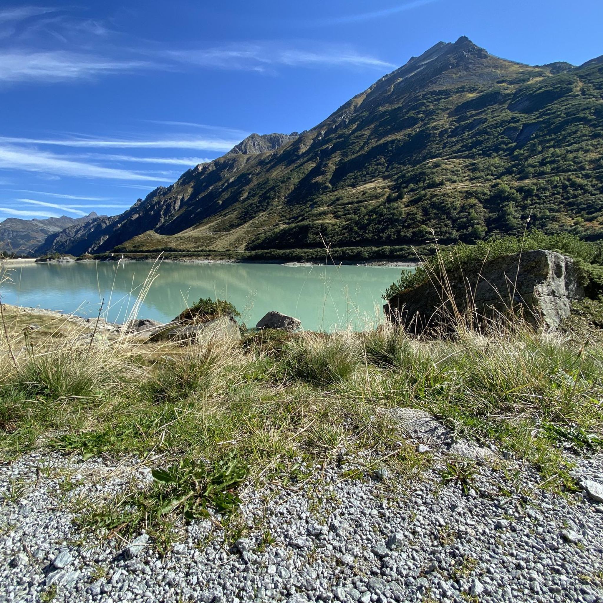
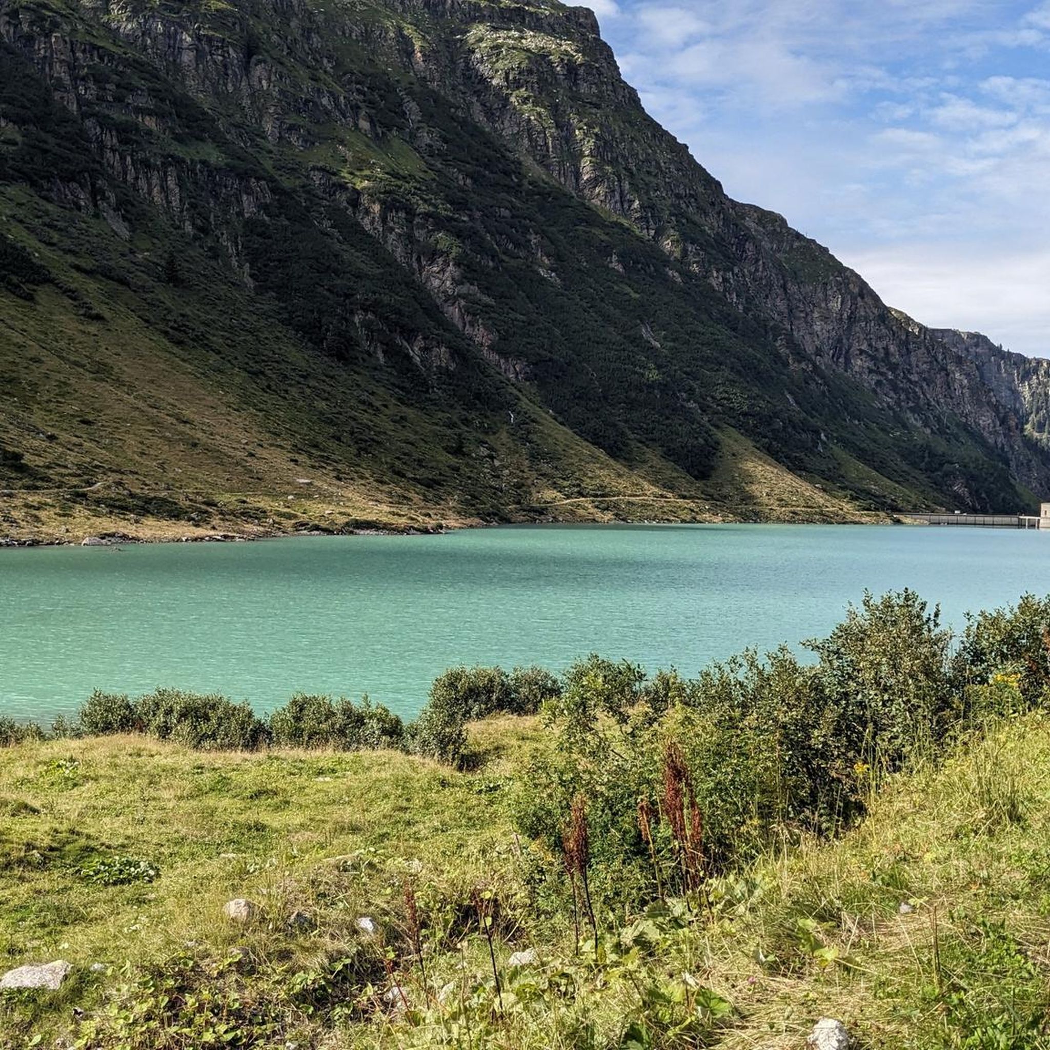
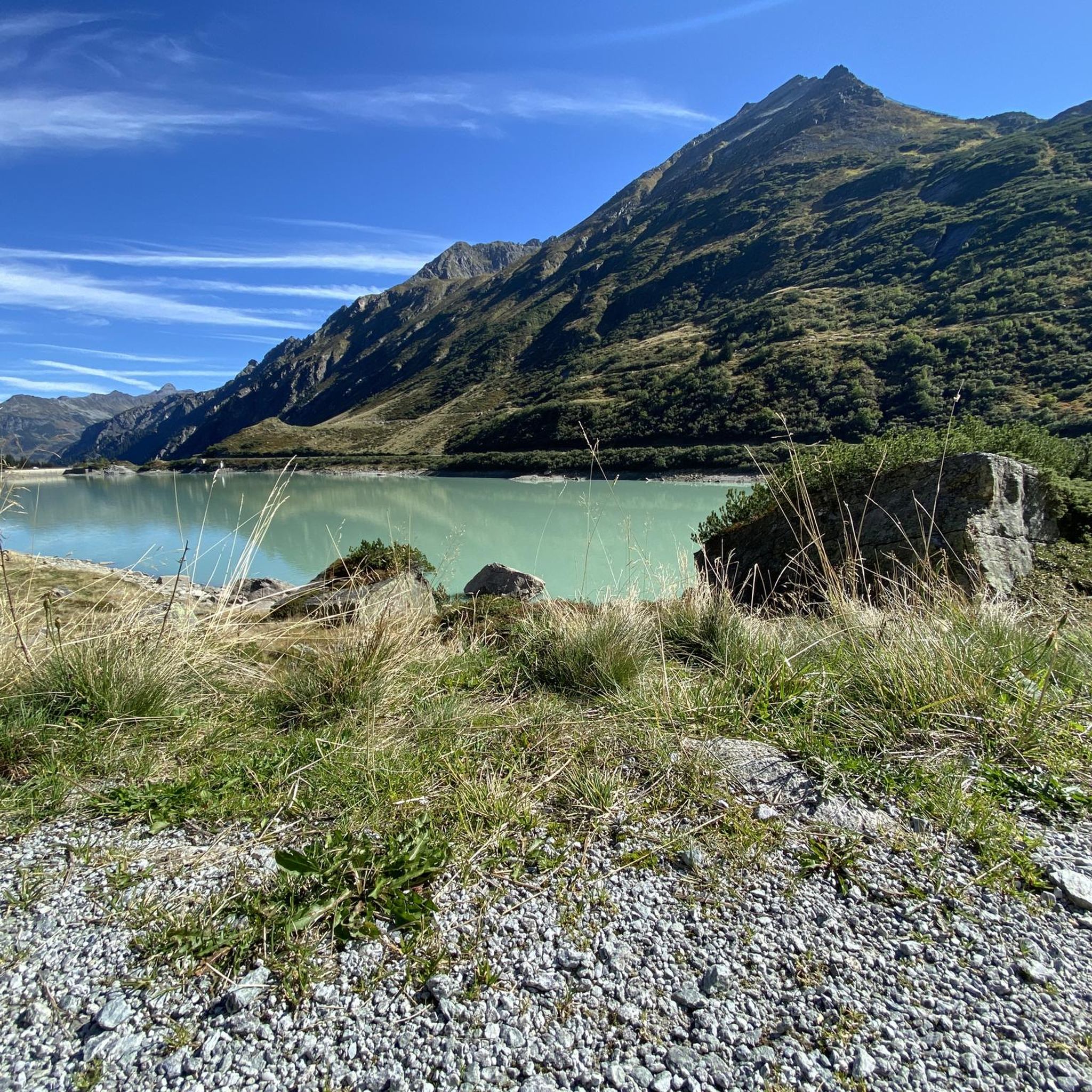
Mountaineering routes around Vermunt-Stausee are situated within the Silvretta Alps, a region characterized by high peaks, glaciers, and alpine reservoirs. The landscape features towering summits like Piz Buin, which rises to 3,312 meters, and a network of valleys and mountain huts. This area provides a challenging environment for mountaineers, with significant elevation gains and diverse terrain.
Best mountaineering routes around Vermunt-Stausee
- The most popular mountaineering route is View of Vermunt Reservoir – Saarbrücker hut loop from Obervermuntwerk 1, a…
Last updated: June 24, 2026
5.0
(9)
48
hikers
11.8km
04:27
750m
750m
Hard mountaineering route. Good fitness required. Sure-footedness, sturdy shoes and alpine experience required.
5.0
(2)
19
hikers
11.5km
06:08
1,000m
1,000m
Hard mountaineering route. Very good fitness required. Sure-footedness, sturdy shoes and alpine experience required.

Sign up for free
11
hikers
6.31km
03:17
700m
700m
Moderate mountaineering route. Good fitness required. Mostly accessible paths. Sure-footedness required.
3.0
(1)
11
hikers
10.5km
05:29
880m
880m
Hard mountaineering route. Very good fitness required. Sure-footedness, sturdy shoes and alpine experience required.
6
hikers
17.0km
07:38
1,170m
1,170m
Hard mountaineering route. Very good fitness required. Sure-footedness, sturdy shoes and alpine experience required.
Get access to more routes and recommendations from other explorers.
Sign up for free
Already have an account?
Our route recommendations are based on thousands of hikes, rides, and runs completed by other people on komoot.
Start today with a free account
Your next adventure awaits.
Login or Signup
Tips from the Community

Open from May 31st to the end of October
0
0

14,50€ for a return or return trip
0
0


Around Lake Wiegensee, you can discover the various stages of moorland development. From slowly silting lakes to transitional moors and raised bogs, you'll find everything in a very small space. Add to that the beautiful flora in early summer and the impressive mountain panorama.
1
0
The hike to Wiegensee always offers great views of the peaks of the Silvretta
1
0

The correct name of the European Staircase 4000 is the European Staircase 4000, the longest - straight - staircase in Europe with around 3600 steps, 700 meters in altitude and a length of 1.5 km and is also known as the "largest fitness device in the Alps". The staircase may only be climbed upwards, as it is not suitable for oncoming traffic due to its steepness - sometimes up to 86% gradient - and its narrow width. The staircase is also not suitable for dogs. There are seating options at several side exits along the route and branching paths allow tired stair climbers to stop early. The steps are quite different in their nature (worn stone steps, grating steps, narrow bypass of masts) and height and should be walked with concentration, but at the same time they present a unique challenge for hikers. The staircase was built parallel to the downpipes of the reservoir above and the power station below.
1
0

It was a great experience to climb these stairs, good shoes are recommended. https://www.montafon.at/de/Service/Montafon-A-Z/Europatreppe-4000_i_94108
1
0
Frequently Asked Questions
How many mountaineering routes are available around Vermunt-Stausee?
The Vermunt-Stausee area offers a wide selection of mountaineering routes, with over 60 different tours available. These routes cater to various skill levels, from moderate ascents to more demanding high-altitude expeditions.
What are the typical difficulty levels for mountaineering routes in this region?
The mountaineering routes around Vermunt-Stausee are predominantly challenging, with 52 out of 64 routes classified as difficult. There are also 10 moderate routes and a couple of easier options, ensuring there's something for different experience levels. For example, the Europatreppe 4000 – View of Ausgleichsbecken Rifa loop from Partenen is a moderate option.
Are there any family-friendly mountaineering options around Vermunt-Stausee?
While many routes are challenging, the region does offer some less strenuous paths. The Verwall nature reserve, for instance, provides opportunities for family-friendly tours. When planning, look for routes with minimal elevation gain or shorter distances, though specific 'family-friendly' mountaineering routes are limited, as the area is known for its more demanding alpine terrain.
Can I bring my dog on the mountaineering trails?
Many trails in the Silvretta Alps are dog-friendly, but it's always best to check specific route regulations, especially within nature reserves. Ensure your dog is accustomed to alpine terrain and that you carry enough water for both of you. Leash requirements may apply in certain areas to protect wildlife.
Are there circular mountaineering routes available?
Yes, the Vermunt-Stausee area features several excellent circular routes. A popular choice is the View of Vermunt Reservoir – Saarbrücker hut loop from Obervermuntwerk 1, which offers stunning views and leads to a mountain hut. Another highly-rated option is the View of Vermunt Reservoir – Hochmaderer Summit loop from Obervermuntwerk 1, providing panoramic alpine vistas.
What natural features and landmarks can I expect to see on these routes?
Mountaineering around Vermunt-Stausee offers breathtaking scenery. You'll encounter alpine reservoirs like Vermunt-Stausee, Silvrettasee, and Kopssee, towering glaciated peaks, and the impressive Silvretta High Alpine Road. Piz Buin, the highest peak in Vorarlberg, is often visible, and you might pass through picturesque valleys like Kromertal or the 'wild-romantic Ganifer'.
What is the best time of year for mountaineering in Vermunt-Stausee?
The prime season for mountaineering in Vermunt-Stausee is typically during the warmer months, from late spring to early autumn (June to September), when trails are generally free of snow and weather conditions are more stable. Always check local weather forecasts and trail conditions before heading out, as alpine weather can change rapidly.
Are there mountain huts along the routes for rest or overnight stays?
Yes, the region is well-equipped with mountain huts that provide essential rest stops and accommodation. Notable huts include the Saarbrücker Hut, Madlenerhaus, and Tübinger Hut. These huts are strategically located along many trails, offering a welcome respite during multi-day expeditions or longer day tours.
How long do mountaineering routes typically take around Vermunt-Stausee?
The duration of routes varies significantly based on distance, elevation gain, and difficulty. For example, the Wiegensee – Kops Dam loop from Partenen is an 11.6-mile trail that can take nearly 8 hours, while the Tafamuntbahn Middle Station – Wiegensee loop from Partenen is about 6.4 miles and takes around 5.5 hours. Always check the estimated duration for your chosen route.
What do other mountaineers enjoy most about the Vermunt-Stausee area?
The area is highly rated by the komoot community, with an average score of 4.9 stars from over 240 reviews. Reviewers often praise the stunning alpine panoramas, the challenging yet rewarding terrain, and the diverse network of trails that cater to various skill levels. The combination of crystal-clear mountain lakes, towering peaks, and glaciers creates an unparalleled experience.
Is public transport available to reach the trailheads?
Access to the Vermunt-Stausee area is possible via public transport, though options might be more limited than by car. The Silvretta High Alpine Road, which connects Partenen to the Bielerhöhe Pass, is a key access point. It's advisable to research specific bus routes and schedules to the starting points of your chosen trails, especially during peak season.
Where can I park my car when visiting Vermunt-Stausee for mountaineering?
Parking is generally available at key access points along the Silvretta High Alpine Road, particularly around the Bielerhöhe Pass and near the reservoirs. Specific starting points like Obervermuntwerk 1 or Partenen often have designated parking areas for hikers and mountaineers. Be aware that some sections of the Silvretta High Alpine Road may have tolls or seasonal closures.
Most popular routes around Vermunt-Stausee

Get inspired with the komoot mobile app


Explore more
Browse the best Mountain Hikes & Routes in other regions.
