The best mountain hikes around Seebach Lake
4.8
(118)
1,364
hikers
17
hikes
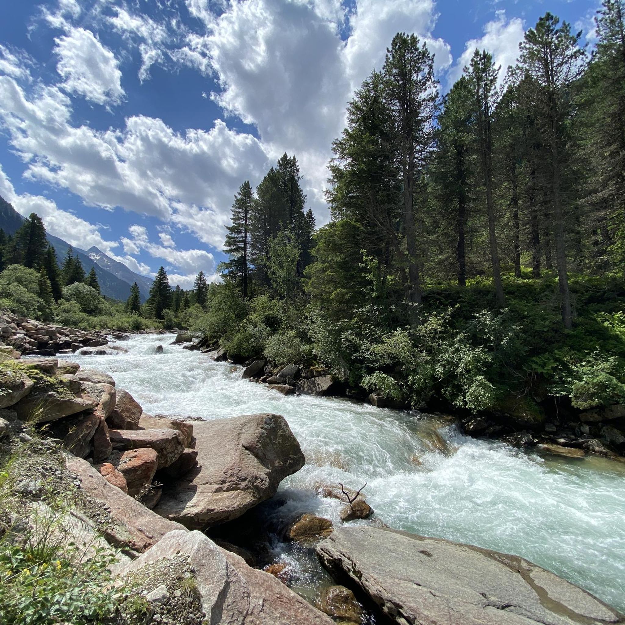
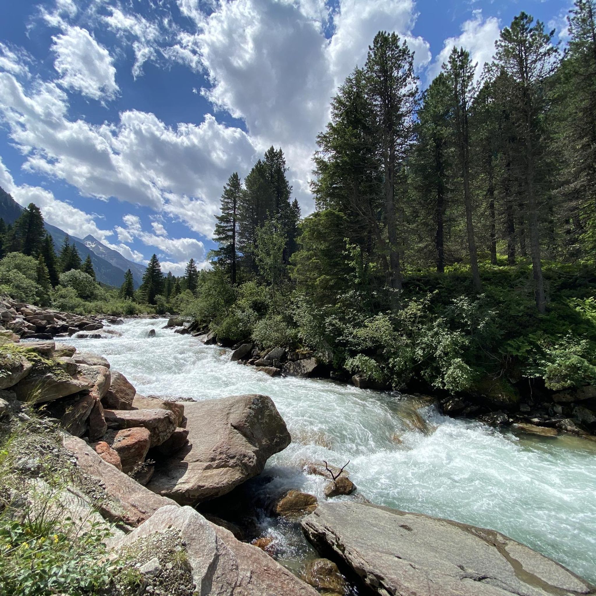
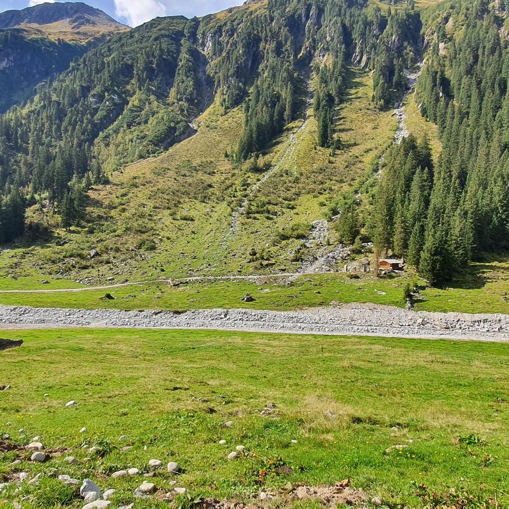
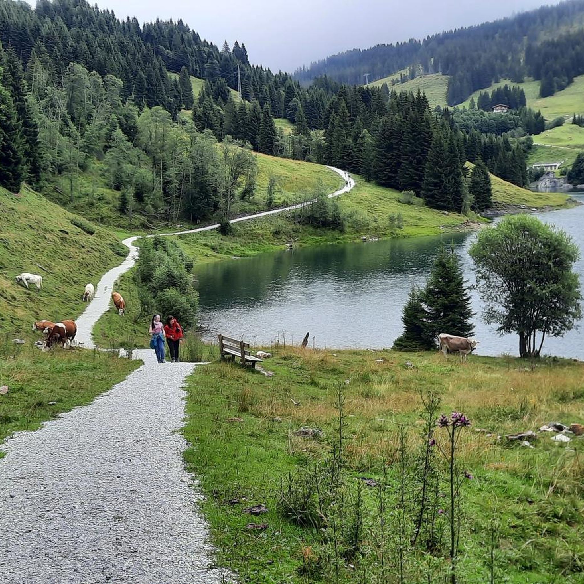
Mountaineering around Seebach Lake offers diverse experiences across alpine and mountainous terrain, characterized by pristine lakes and extensive trail networks. The region features significant elevation changes, with prominent peaks and lush forests of larch, stone pine, and spruce. These areas provide challenging routes and rewarding treks for mountaineers.
Best mountaineering routes around Seebach Lake
- The most popular mountaineering route is Berndlalm Mountain Inn – View of Seebachfall loop from Obersulzbachtal, a 8.3 miles (13.3 km) trail that takes 5 hours 12 minutes to complete. This difficult route offers views of the Seebachfall and the surrounding alpine landscape.
- Another top favourite among local mountaineers is View of Seebachfall – Berndlalm Mountain Inn loop from Obersulzbachtal, a difficult 10.1 miles (16.2 km) path. This loop provides expansive views of the Seebachfall and the Obersulzbachtal valley.
- Local mountaineers also love the Krimmler Tauernhaus – Richterhütte loop from Krimmler Tauernhaus, a 8.3 miles (13.3 km) trail leading through high alpine valleys, often completed in about 4 hours 47 minutes.
- Mountaineering around Seebach Lake is defined by alpine terrain, pristine lakes, and lush forests. The network offers options for different ability levels, from moderate ascents to challenging high-altitude routes.
- The routes in Seebach Lake are highly rated by the komoot community with an average score of 4.8 stars from over 100 reviews. More than 1400 mountaineers have used komoot to explore Seebach Lake's varied terrain.
Last updated: July 8, 2026
20
hikers
16.2km
05:21
630m
630m
Hard mountaineering route. Very good fitness required. Mostly accessible paths. Sure-footedness required.
5.0
(3)
22
hikers
13.5km
04:52
730m
730m
Hard mountaineering route. Good fitness required. Sure-footedness, sturdy shoes and alpine experience required.

Sign up for free
12
hikers
20.7km
07:51
1,010m
1,010m
Hard mountaineering route. Very good fitness required. Sure-footedness, sturdy shoes and alpine experience required.
4.5
(2)
12
hikers
14.0km
04:44
630m
630m
Moderate mountaineering route. Good fitness required. Mostly accessible paths. Sure-footedness required.
7
hikers
10.8km
05:13
850m
850m
Hard mountaineering route. Very good fitness required. Sure-footedness, sturdy shoes and alpine experience required.
Get access to more routes and recommendations from other explorers.
Sign up for free
Already have an account?
Our route recommendations are based on thousands of hikes, rides, and runs completed by other people on komoot.
Start today with a free account
Your next adventure awaits.
Login or Signup
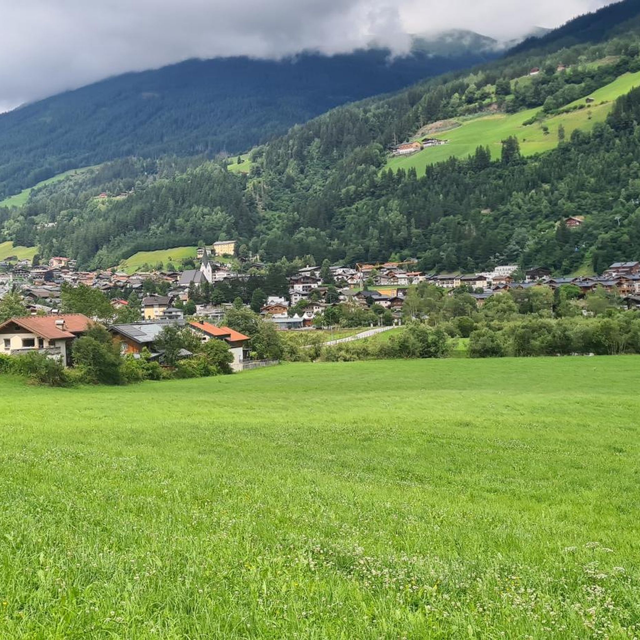
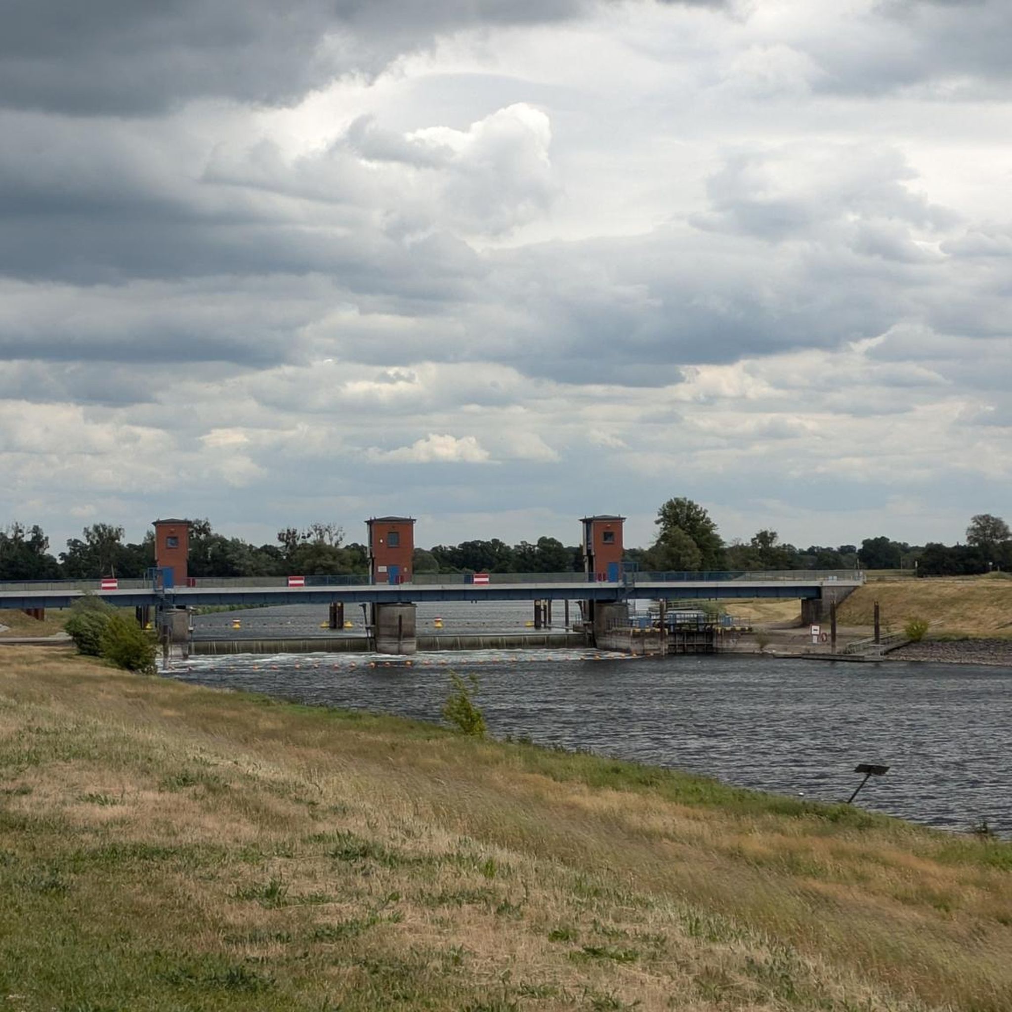
Tips from the Community

The whitewater bridge is currently closed until approximately mid-February 2026.
0
0


Despite shrinking glaciers, the landscape at the head of the Krimml Achental valley remains impressive. Ideal for biking and hiking.
1
0

Super tasty and inexpensive stop with a mega panorama 😍
0
0

The Gamseckfall is a waterfall in the Obersulzbach Valley. It's not very high, but still worth seeing. From there, you can continue to the Berndalm mountain hut to view the waterfall from above, or climb even further to Lake Sulz. Other interesting waterfalls are nearby, such as the Seebachfall, the Foissbachfall, and the Untersulzbachfall (also called the Sulzbachfall). The Obersulzbach Valley is known for its abundant water and its proximity to the Krimml Waterfall, the most powerful waterfall in Austria.
0
0

Beautiful long valley with views of 3000m mountains.
0
0

I rode through the valley to the end of the bike route, which I consider to be one of the most beautiful valleys.
0
0

Frequently Asked Questions
How many mountaineering routes are available around Seebach Lake, and what are their difficulty levels?
There are over 20 mountaineering routes around Seebach Lake. These include 1 easy route, 10 moderate routes, and 9 difficult routes, offering options for various skill levels.
What are some of the notable natural features or landmarks I can expect to see on mountaineering routes around Seebach Lake?
The region offers diverse natural beauty. In the Austrian Hohe Tauern area, you can experience stunning views of the Seebachfall and the prominent Große Geiger, along with typical larch, stone pine, and spruce forests. In the Black Forest region, highlights include the mystical Mummelsee, the romantic Wildsee, and panoramic views from Hornisgrinde, the highest mountain in Baden-Württemberg. Many routes also traverse unique 'Grinden landscapes' and ancient forests.
Are there any challenging mountaineering routes for experienced hikers around Seebach Lake?
Yes, for experienced mountaineers, there are several challenging routes. One such route is the Krimmler Tauernhaus – Warnsdorfer Hut loop from Krimmler Tauernhaus, which covers over 20 km with significant elevation gain. Another demanding option is the Berndlalm Mountain Inn – View of Seebachfall loop from Obersulzbachtal, a difficult 13.3 km trail with nearly 1000 meters of ascent.
Are there any circular mountaineering routes around Seebach Lake?
Yes, many of the routes are designed as loops, allowing you to start and end at the same point. For example, the View of Seebachfall – Berndlalm Mountain Inn loop from Obersulzbachtal is a popular 16.2 km circular path. Another option is the Krimmler Tauernhaus – Richterhütte loop from Krimmler Tauernhaus, which is a moderate 13.3 km circuit.
What do other mountaineers enjoy most about the routes around Seebach Lake?
The area is highly rated by the komoot community, with an average score of 4.8 stars from over 120 reviews. Mountaineers often praise the diverse alpine terrain, the pristine lakes, and the lush forests. The well-maintained trail networks and the rewarding views, such as those of the Seebachfall, are frequently highlighted.
What is the best time of year for mountaineering around Seebach Lake?
The best time for mountaineering typically spans from late spring to early autumn (May to October), when trails are generally free of snow and weather conditions are more stable. However, conditions can vary significantly with elevation, so always check local forecasts and trail reports before heading out. Winter mountaineering is possible but requires specialized gear and experience due to snow and ice.
Are there any amenities like mountain inns or cafes along the mountaineering routes?
Yes, some routes pass by or start near mountain inns and huts where you can find refreshments and sometimes accommodation. For instance, the Berndlalm Mountain Inn – View of Seebachfall loop involves the Berndlalm Mountain Inn, and the Krimmler Tauernhaus – Richterhütte loop connects the Krimmler Tauernhaus and Richterhütte, offering opportunities for a break.
Are the mountaineering trails around Seebach Lake suitable for dogs?
While many trails in alpine regions are generally dog-friendly, it's always advisable to check specific regulations for each route or protected area. Be mindful of livestock, wildlife, and other hikers, and ensure your dog is well-behaved and kept on a leash where required. Some routes may involve challenging terrain or stream crossings that could be difficult for some dogs.
What kind of forests can I expect to see while mountaineering in the Seebach Lake region?
The region is known for its lush and diverse forests. In areas like the Hohe Tauern National Park, you'll encounter typical larch, stone pine, and spruce forests. In the Black Forest, routes like the 'Bosensteiner Almpfad' lead through ancient forests with unique rock formations, offering a rich natural experience.
Is there public transport or parking available near the trailheads for mountaineering routes?
Specific information on public transport and parking varies by trailhead. In regions like the Hohe Tauern National Park, access points often have designated parking areas. For detailed information on specific routes, it's best to consult local tourist information or the National Park's official website, such as the one for the Lehrweg Seebach.
How long do mountaineering trails around Seebach Lake typically take to complete?
The duration of routes varies significantly based on distance, elevation gain, and difficulty. For example, a moderately difficult circular trail to Seebachsee in Hohe Tauern is estimated to take around 5.5 hours. Shorter, moderate routes like the Krimmler Tauernhaus – Richterhütte loop can be completed in under 5 hours, while longer, difficult routes can take 7-8 hours or more.
Most popular routes around Seebach Lake

Get inspired with the komoot mobile app


Explore more
Browse the best Mountain Hikes & Routes in other regions.
