The best mountain hikes around Silvretta-Stausee
4.7
(36)
204
hikers
10
hikes
Mountaineering around Silvretta-Stausee is characterized by its high-alpine environment, featuring prominent peaks and glacial lakes. The region offers challenging high-altitude trails that traverse rocky terrain and mountain passes. This area, part of the Silvretta Alps, provides a rugged landscape for experienced mountaineers.
Best mountaineering routes around Silvretta-Stausee
- The most popular mountaineering route is Tyrol–Vorarlberg Border Marker – Hohes Rad Summit loop from Bielerhöhe, a 11.0 miles (17.6 km) trail that takes 6 hours 50 minutes to complete. This difficult route leads to a summit with expansive views.
- Another top favourite among local mountaineers is Wiesbadener Hütte Waterfall – Chapel near Wiesbadener Hütte. loop from Bielerhöhe, a moderate 8.6 miles (13.8 km) path. This trail features a scenic waterfall and a mountain chapel.
- Local mountaineers also love the Hohes Rad Summit – Little Blue Lake loop from Bielerhöhe, a 8.9 miles (14.4 km) trail leading through alpine terrain to a summit and a glacial lake, often completed in about 5 hours 50 minutes.
- Mountaineering around Silvretta-Stausee is defined by high alpine peaks, glacial lakes, and challenging mountain passes. The network offers options primarily for experienced mountaineers, with some moderate routes available.
- The routes in Silvretta-Stausee are highly rated by the komoot community with an average score of 4.7 stars from over 70 reviews. More than 400 mountaineers have used komoot to explore Silvretta-Stausee's varied terrain.
Last updated: July 7, 2026
5.0
(3)
32
hikers
14.8km
06:01
770m
770m
Hard mountaineering route. Very good fitness required. Sure-footedness, sturdy shoes and alpine experience required.
4.5
(8)
25
hikers
17.4km
07:17
870m
870m
Hard mountaineering route. Very good fitness required. Sure-footedness, sturdy shoes and alpine experience required.

Sign up for free
4.8
(5)
28
hikers
13.7km
05:38
710m
710m
Hard mountaineering route. Very good fitness required. Sure-footedness, sturdy shoes and alpine experience required.
5.0
(2)
25
hikers
10.4km
04:43
640m
630m
Hard mountaineering route. Good fitness required. Sure-footedness, sturdy shoes and alpine experience required.
5.0
(2)
22
hikers
23.9km
08:39
1,230m
1,230m
Hard mountaineering route. Very good fitness required. Sure-footedness, sturdy shoes and alpine experience required.
Get access to more routes and recommendations from other explorers.
Sign up for free
Already have an account?
Our route recommendations are based on thousands of hikes, rides, and runs completed by other people on komoot.
Start today with a free account
Your next adventure awaits.
Login or Signup
Popular around Silvretta-Stausee

Min Weag long-distance hiking trail – From Lake Constance to the Alps
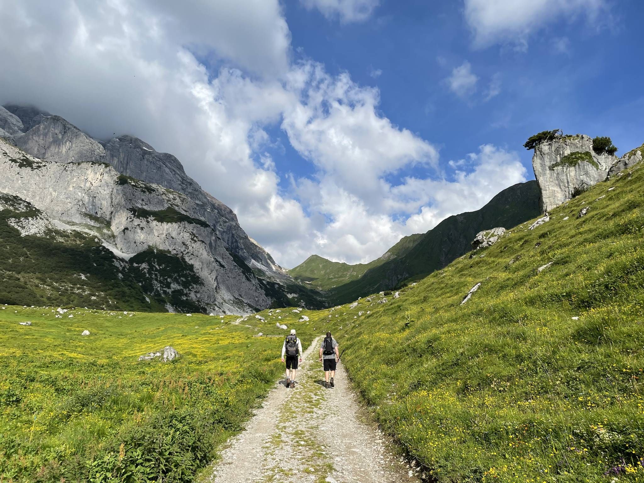
Montafon Hut-to-Hut Hiking Trail – 13 days in Western Austria
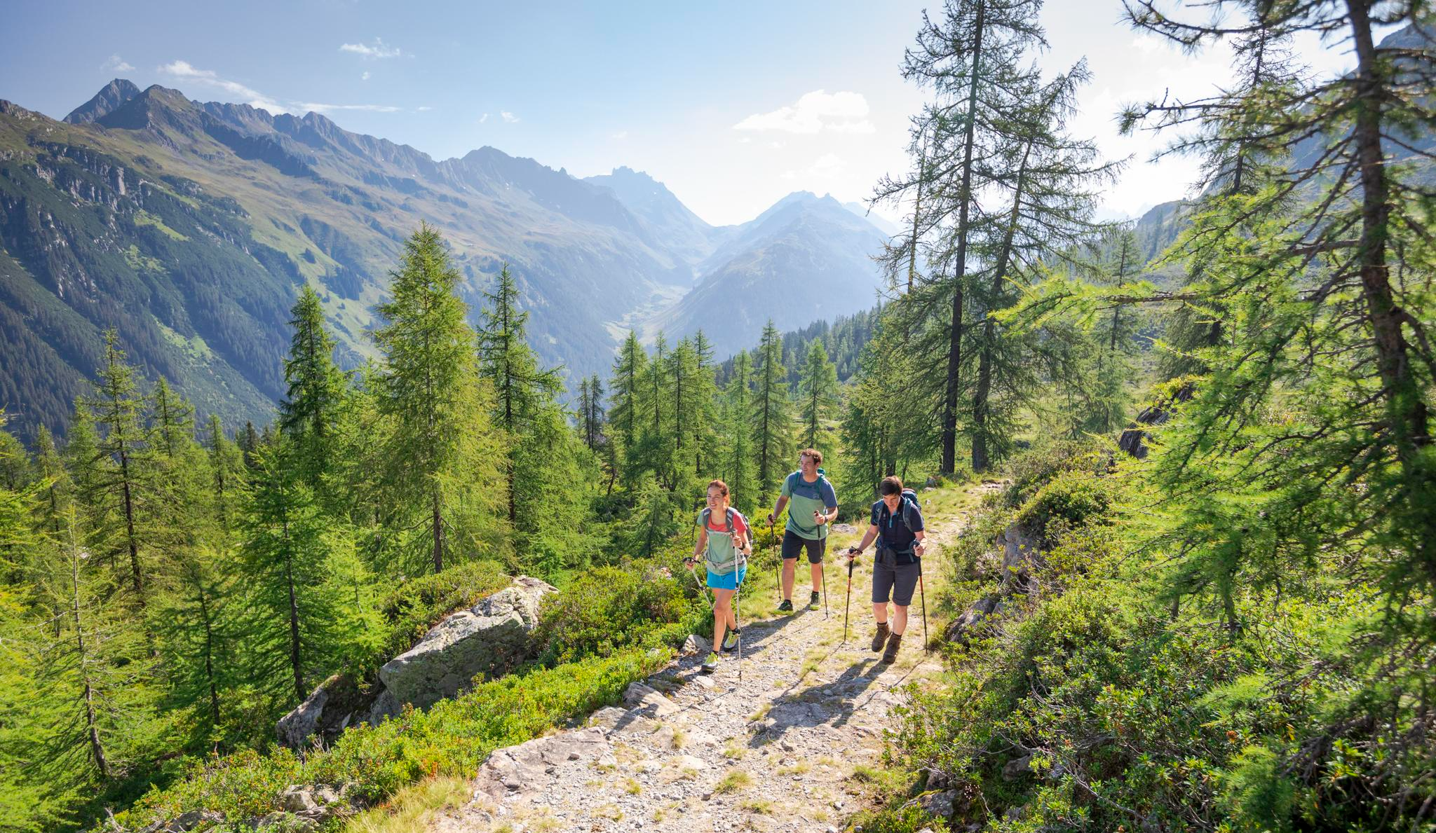
Between Maisäß and Alpe – hiking in Montafon
Between moors, meadows and glaciers – discover Vorarlberg's natural beauty
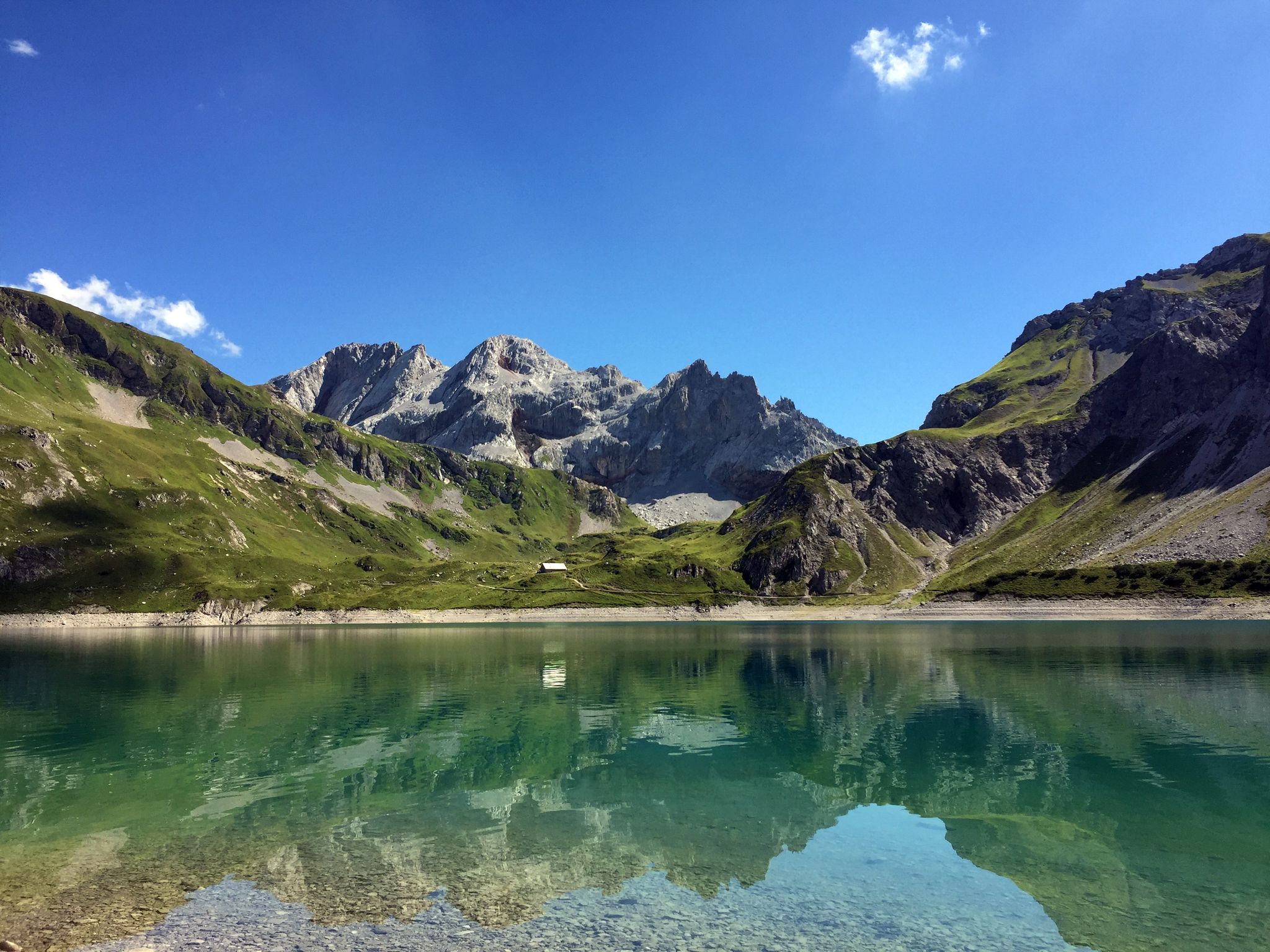
Mighty mountains and historic cities – hiking in Austria
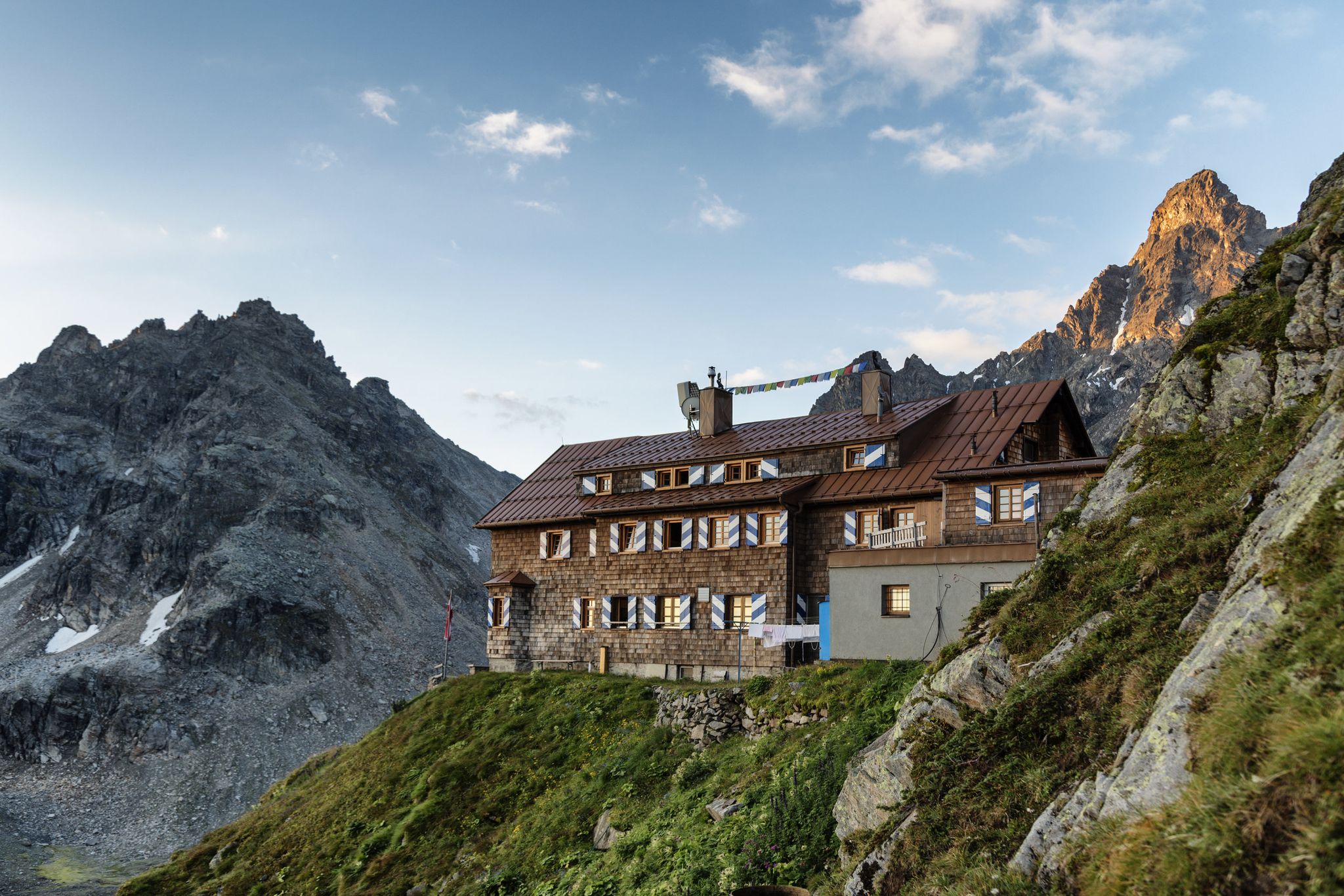
Alpenmosaik Montafon - The Montafoner Hüttenrunde
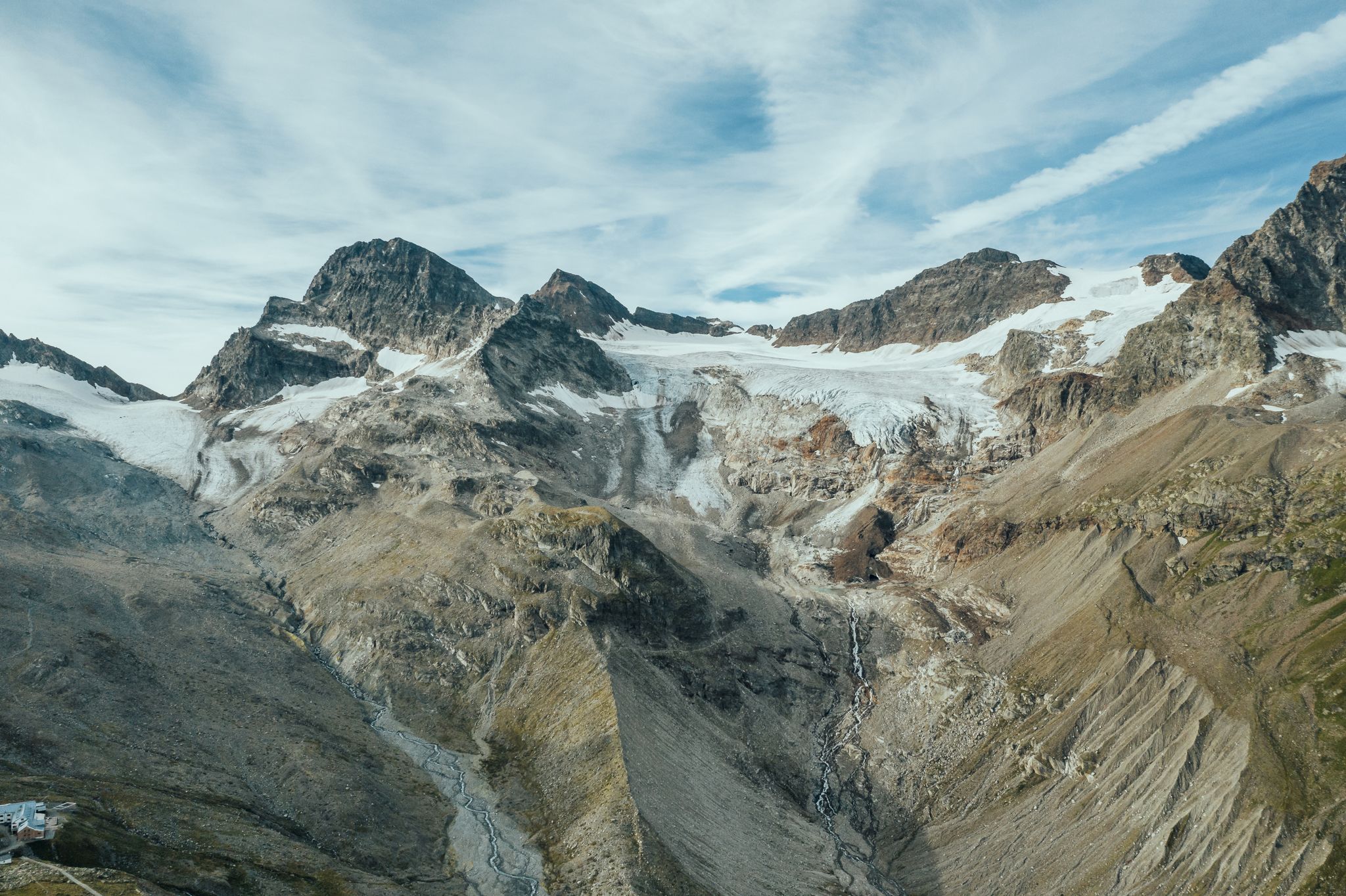
Alpine Mosaic Montafon — Austria’s Silvretta adventure area
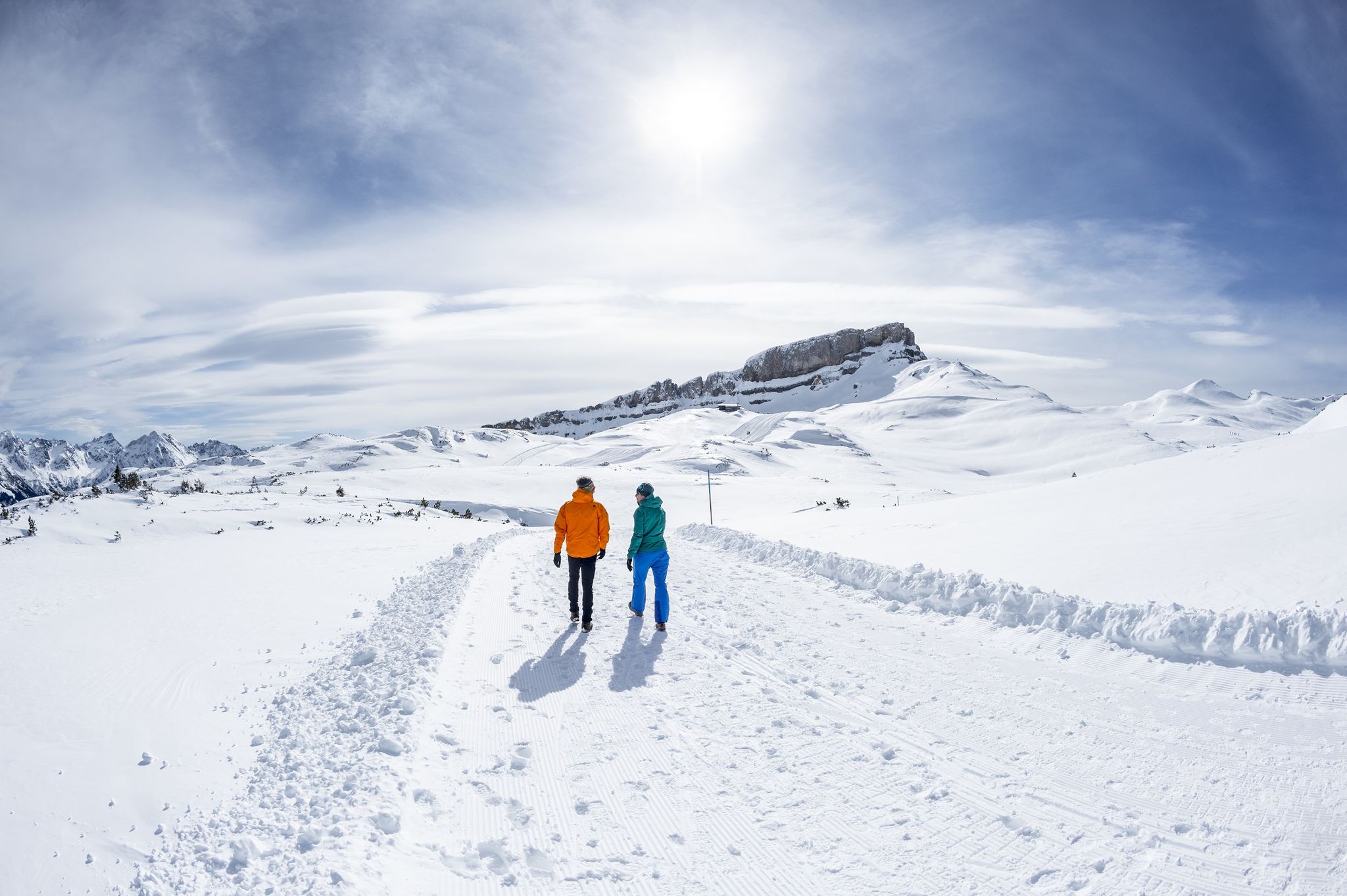
On white paths – winter hikes in Vorarlberg
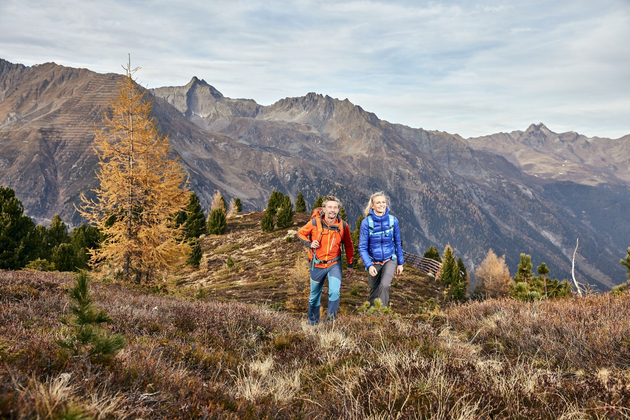
Golden Summits – Autumn in Austria’s Paznaun-Ischgl region
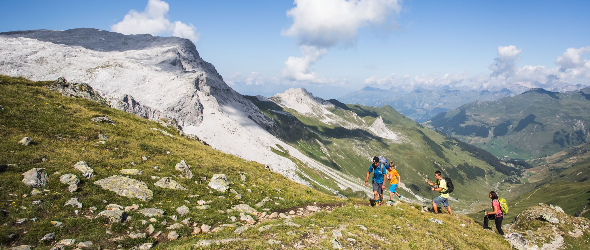
Hiking the most beautiful trails up in the Montafon mountains
Other adventures around Silvretta-Stausee


Tips from the Community

An almost unknown peak, easy to climb, with beautiful views of the surrounding peaks and glaciers
0
0

There is a marked winter hiking trail around the lake. However, it is only partially groomed and therefore very suitable for snowshoes.
5
0

Be sure to do this hike "Panoramatour Hohes Rad" https://www.montafon.at/de/Mein-Magazin/Panoramatour-Hohes-Rad-Rundweg-in-der-Silvretta_bba_176997
0
0

It is incredibly beautiful and the rocky, challenging paths are worth it.
2
0
Frequently Asked Questions
Are there any easy mountaineering routes around Silvretta-Stausee?
The Silvretta-Stausee region is primarily known for its challenging high-alpine mountaineering routes. However, there is one moderate route available: the Wiesbadener Hütte Waterfall – Chapel near Wiesbadener Hütte. loop from Bielerhöhe. This trail offers a scenic experience without the extreme demands of the more difficult ascents.
Where are the main trailheads and parking areas for mountaineering routes in Silvretta-Stausee?
Many of the mountaineering routes in the Silvretta-Stausee area, including popular ones like the Tyrol–Vorarlberg Border Marker – Hohes Rad Summit loop, typically start from Bielerhöhe. This area serves as a central hub with parking facilities, providing convenient access to various trails.
What is the typical duration and distance for mountaineering routes in this area?
Mountaineering routes around Silvretta-Stausee vary in length and duration due to the challenging high-alpine terrain. You can expect routes to range from approximately 8.6 miles (13.8 km) to 11.0 miles (17.6 km), with completion times generally between 5 hours 50 minutes and 6 hours 50 minutes for the more popular trails.
What are some challenging mountaineering routes for experienced hikers?
For experienced mountaineers seeking a challenge, the Silvretta-Stausee region offers several demanding routes. Consider the Litzner Saddle – Saarbrücker hut loop from Bielerhöhe, which covers 17.79 km with significant elevation gain, or the Hohes Rad Summit – Little Blue Lake loop from Bielerhöhe, known for its alpine terrain and summit views.
Are there any circular mountaineering routes around Silvretta-Stausee?
Yes, many of the mountaineering routes in the Silvretta-Stausee area are designed as loops, allowing you to return to your starting point without retracing your steps. Examples include the Tyrol–Vorarlberg Border Marker – Hohes Rad Summit loop from Bielerhöhe and the Saarbrücker hut loop from Bielerhöhe.
What kind of views and natural features can I expect on these mountaineering trails?
The mountaineering trails around Silvretta-Stausee offer spectacular high-alpine scenery. You'll encounter prominent peaks, glacial lakes like the Little Blue Lake, and rocky terrain. Some routes, such as the Wiesbadener Hütte Waterfall – Chapel near Wiesbadener Hütte. loop from Bielerhöhe, also feature scenic waterfalls and mountain chapels.
What do other mountaineers enjoy most about the routes in Silvretta-Stausee?
The routes in Silvretta-Stausee are highly rated by the komoot community, with an average score of 4.7 stars from over 70 reviews. Mountaineers often praise the expansive views from summits, the rugged high-alpine environment, and the challenging nature of the trails that lead to memorable experiences.
Are there any specific landmarks or points of interest along the mountaineering routes?
Yes, the region offers several notable landmarks. You can see the impressive Silvretta Reservoir Dam, experience the scenic Bielerhöhe and Silvretta Reservoir, or discover the Bielbach waterfall with art installation. Some routes also pass by unique art installations like the Art Space 2032 — Silvretta Art Tunnel.
What is the best time of year for mountaineering in Silvretta-Stausee?
Given the high-alpine nature of the Silvretta-Stausee region, the best time for mountaineering is typically during the summer months, from late June to early September. During this period, snow has usually melted from higher elevations, and weather conditions are generally more stable, though always be prepared for rapid changes.
What kind of gear should I bring for mountaineering in this high-alpine region?
For mountaineering in the Silvretta-Stausee region, it's crucial to be well-prepared. Essential gear includes sturdy mountaineering boots, appropriate layers of clothing for varying weather conditions, rain and wind protection, a helmet, gloves, a map and compass or GPS device, sufficient water and food, and potentially an ice axe and crampons depending on the specific route and conditions, especially early or late in the season.
Are there any huts or refuges along the mountaineering routes for breaks or overnight stays?
Yes, the Silvretta-Stausee area, being a popular mountaineering destination, has mountain huts that can serve as excellent points for breaks, refreshments, or even overnight stays. The Wiesbadener Hütte and Saarbrücker Hütte are examples of such refuges that are accessible via some of the routes.
Most popular routes around Silvretta-Stausee
Most popular attractions around Silvretta-Stausee

Get inspired with the komoot mobile app


Explore more
Browse the best Mountain Hikes & Routes in other regions.
