The best walks and hikes around Kleiner Plansee
4.6
(18008)
96,390
hikers
551
hikes
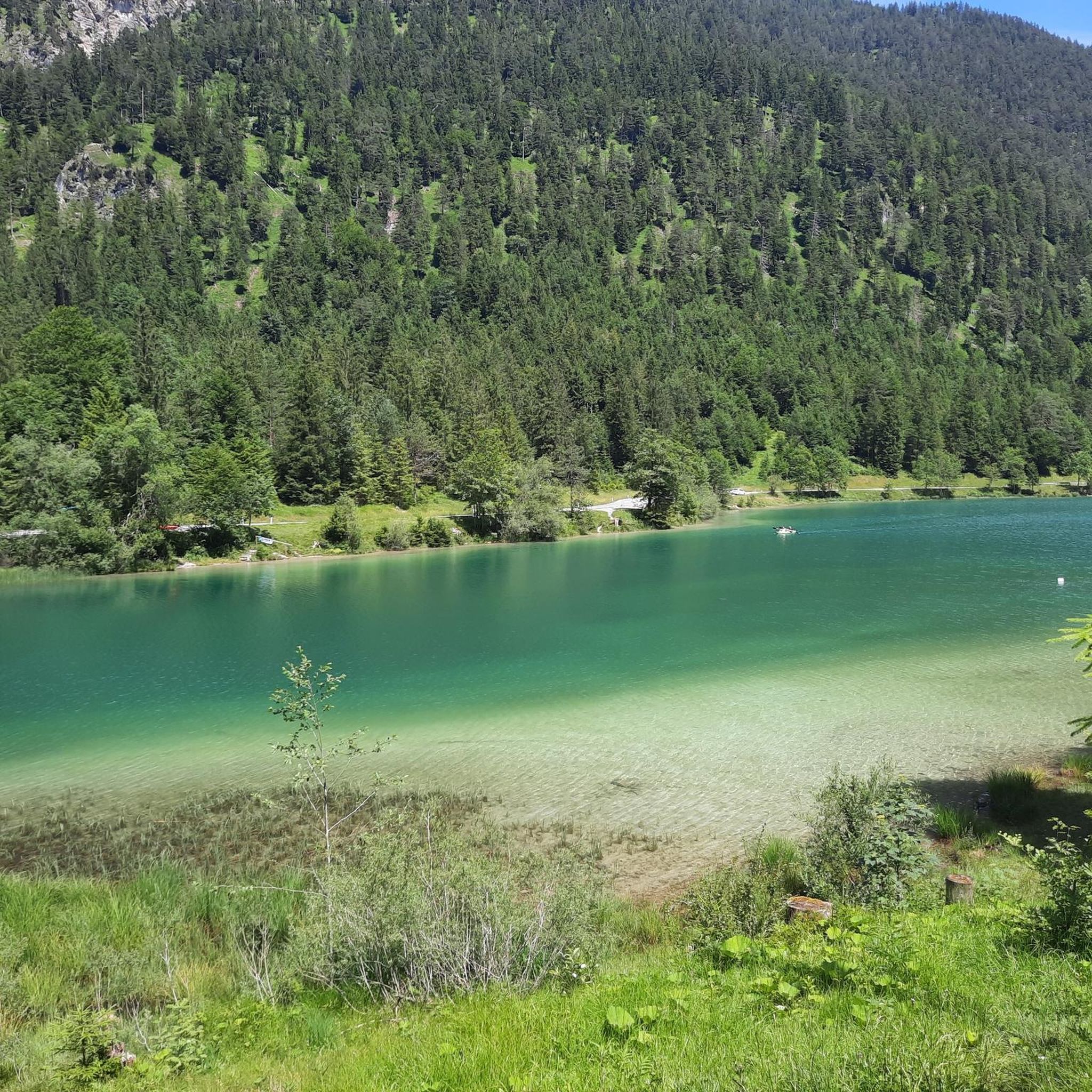
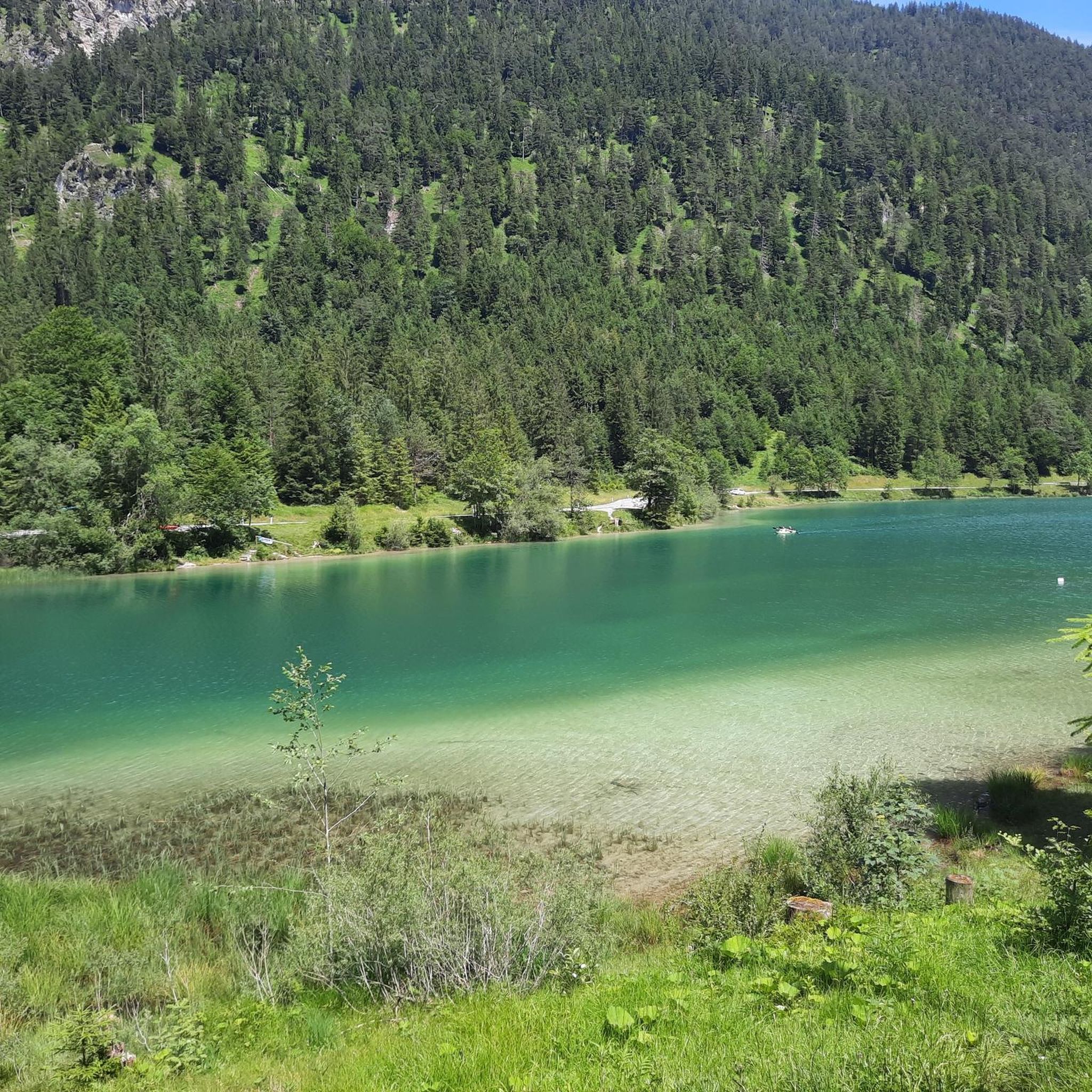
Hiking around Kleiner Plansee offers a diverse landscape characterized by the clear waters of the lake, surrounding forested hills, and views of the Austrian Alps. The region features a mix of gentle lakeside paths and more challenging ascents into the higher terrain. Trails often traverse dense woodlands and open areas, providing varied scenery for hikers.
Best hiking trails around Kleiner Plansee
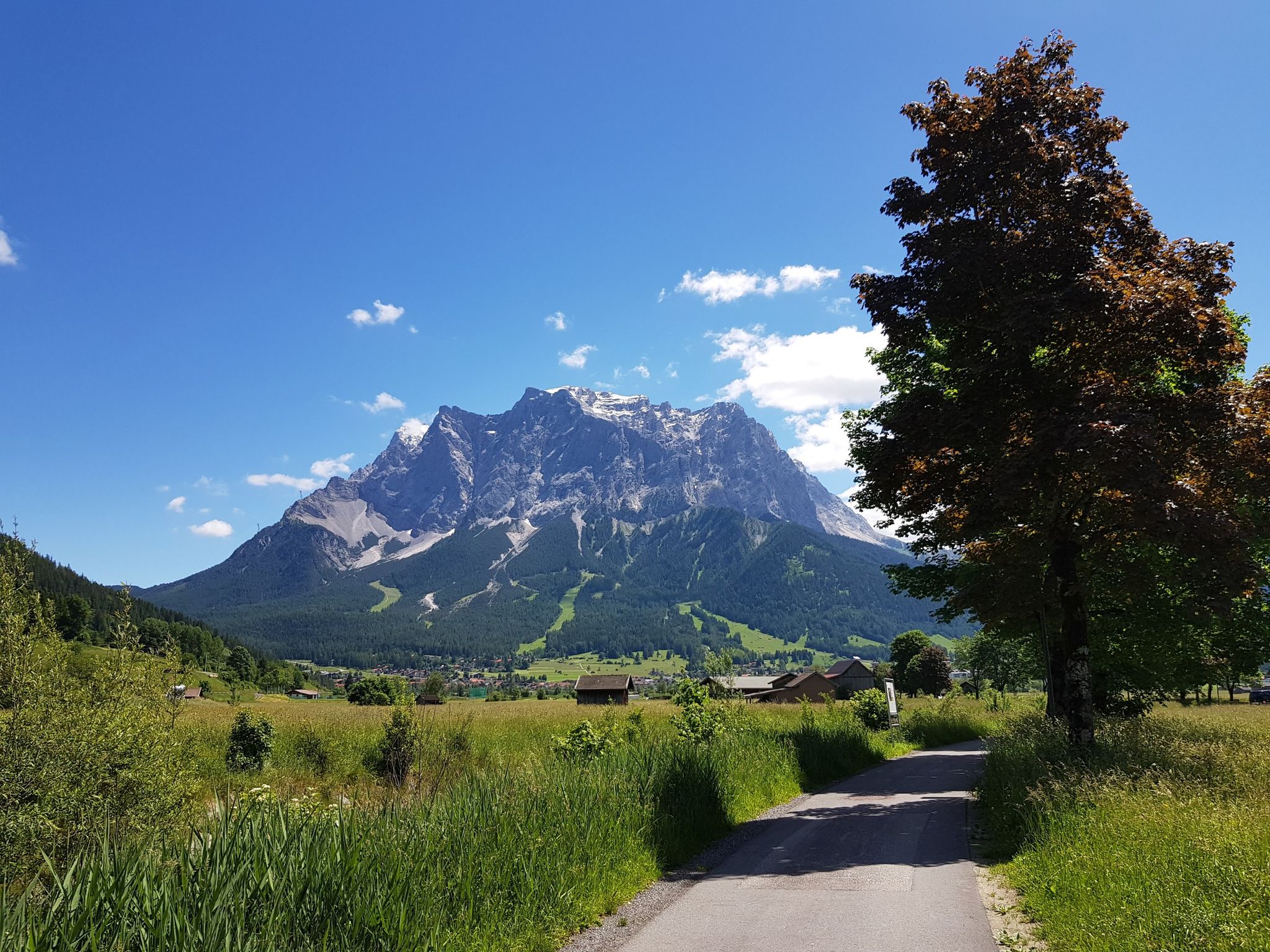
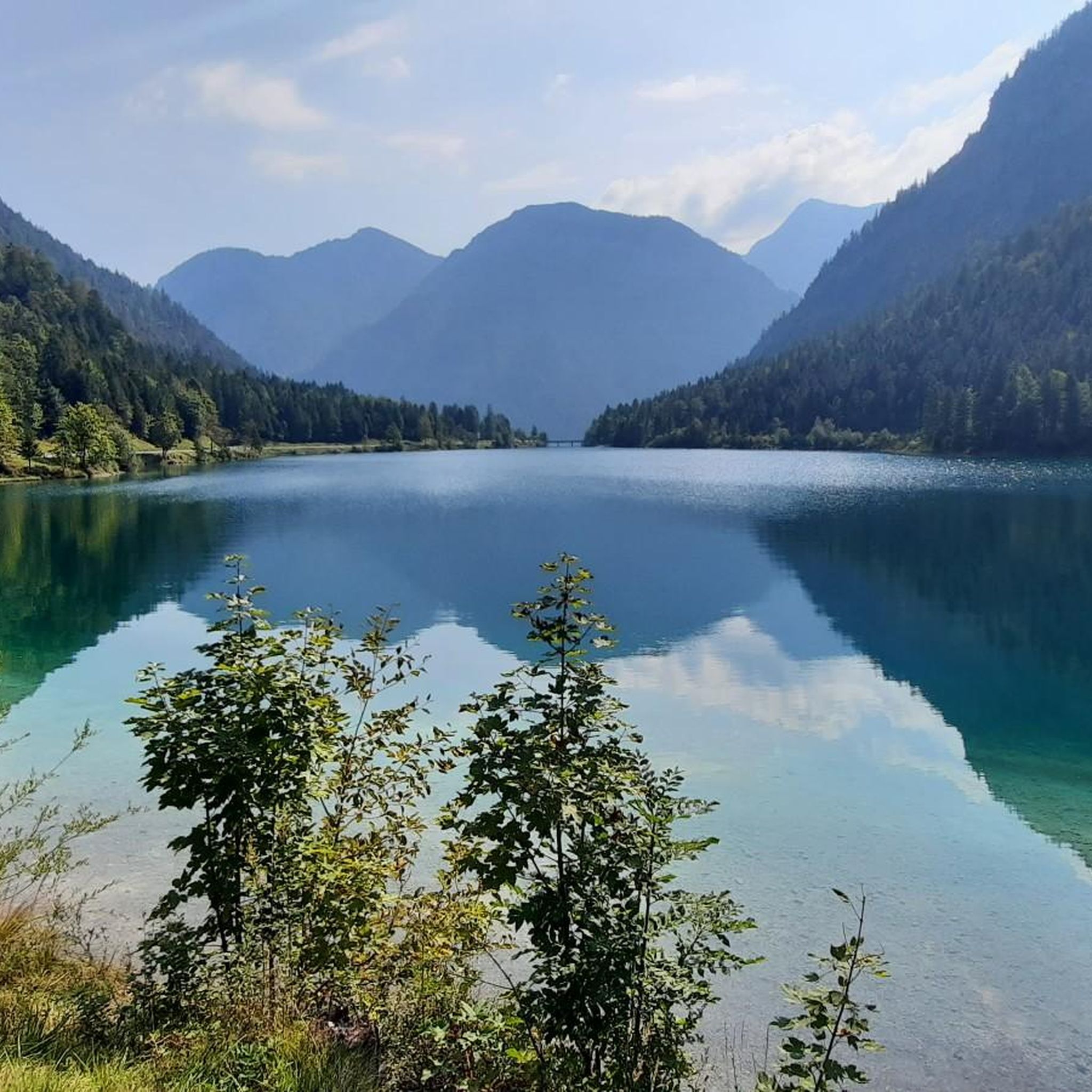
- The most popular hiking route is View of the Plansee – Lake Heiterwang loop from Kleiner Plansee, a 6.5 miles (10.4 km) trail that takes 2 hours 43 minutes to complete, offering panoramic lake views and a mix of forest and open paths.
- Another top favourite among local hikers is Along Plansee, an Easy 3.3 miles (5.3 km) path. This route follows the shoreline, providing accessible walking with consistent lake scenery.
- Local hikers also love the View of the Plansee – View of Zunterkopf loop from Kleiner Plansee, a 6.7 miles (10.7 km) trail leading through varied mountain terrain, often completed in about 5 hours 35 minutes.
- Hiking around Kleiner Plansee is defined by its pristine lake, dense forests, and surrounding hills, offering a range of experiences from easy lakeside strolls to more demanding mountain ascents. The network provides options for different ability levels, from beginner hiking routes to challenging hikes.
- The routes in Kleiner Plansee are highly rated by the komoot community with an average score of 4.6 stars from more than 17,000 reviews. More than 89,000 hikers have used komoot to explore Kleiner Plansee's varied terrain.
Last updated: May 20, 2026
4.8
(1129)
5,109
hikers
10.4km
02:43
80m
80m
Moderate hike. Good fitness required. Easily-accessible paths. Suitable for all skill levels.
4.6
(22)
184
hikers
5.30km
01:26
70m
60m
Easy hike. Great for any fitness level. Easily-accessible paths. Suitable for all skill levels.

Sign up for free
4.7
(197)
1,011
hikers
10.5km
05:32
840m
840m
Hard hike. Very good fitness required. Sure-footedness, sturdy shoes and alpine experience required.
4.7
(333)
1,244
hikers
8.10km
02:22
140m
140m
Moderate hike. Good fitness required. Mostly accessible paths. Sure-footedness required.
4.8
(21)
74
hikers
6.71km
01:48
80m
80m
Easy hike. Great for any fitness level. Easily-accessible paths. Suitable for all skill levels.
Get access to more routes and recommendations from other explorers.
Sign up for free
Already have an account?
Our route recommendations are based on thousands of hikes, rides, and runs completed by other people on komoot.
Start today with a free account
Your next adventure awaits.
Login or Signup
Other adventures around Kleiner Plansee

Tips from the Community

There are many beautiful MTB trails to discover here.
0
0

Delicious food and reasonable prices. Cheese lovers should pick up a slice ;-)
0
0

Always fascinating, regardless of the weather. Boat trips, bike rides, lake excursions, or just a stroll are all possible.
0
0


The Heiterwangersee is beautifully situated
1
0

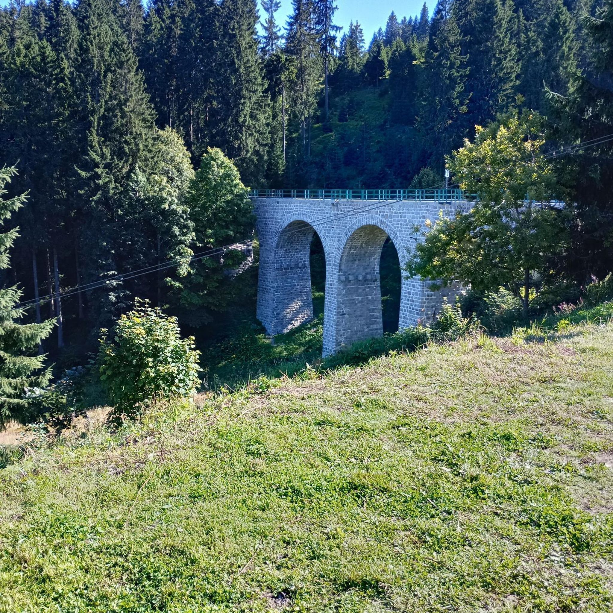
There are opportunities to let off steam everywhere in the summer. Wonderful! The bridges on the circular trail can be a problem for some dogs if they are anxious or don't like walking on such surfaces.
1
0
Great region for cycling
1
0

Frequently Asked Questions
How many hiking trails are there around Kleiner Plansee?
The Kleiner Plansee region offers a wide variety of hiking experiences, with over 550 trails available. These range from gentle lakeside strolls to more demanding mountain ascents, catering to all skill levels.
Are there easy hiking trails suitable for beginners or families?
Yes, Kleiner Plansee is very welcoming for beginners and families, with over 220 easy routes. A great option is the Along Plansee trail, which is 3.3 miles (5.3 km) and follows the shoreline, offering accessible walking with consistent lake scenery.
Can I find challenging hikes in the Kleiner Plansee area?
Absolutely. For those seeking a challenge, there are over 120 difficult routes. An example is the View of the Plansee – View of Zunterkopf loop from Kleiner Plansee, a 6.7 miles (10.7 km) trail leading through varied mountain terrain with significant elevation gain.
Are there any circular hiking routes around Kleiner Plansee?
Yes, many trails in the area are circular, allowing you to start and end at the same point. A popular choice is the View of the Plansee – Lake Heiterwang loop from Kleiner Plansee, a 6.5 miles (10.4 km) trail offering panoramic lake views and a mix of forest and open paths.
What kind of attractions or landmarks can I see along the hiking trails?
The trails around Kleiner Plansee often lead past beautiful natural and man-made landmarks. You can explore the stunning Plansee itself, or discover the unique Seespitz Bridge Between Plansee and Heiterwanger See. The area is rich with scenic viewpoints and natural beauty.
Is Kleiner Plansee suitable for hiking with dogs?
Kleiner Plansee is generally dog-friendly, with many trails suitable for walks with your canine companion. Always keep your dog on a leash, especially near wildlife or other hikers, and be sure to carry water for both of you. Some routes may have specific restrictions, so always check local signage.
What is the best time of year to go hiking around Kleiner Plansee?
The best time for hiking around Kleiner Plansee is typically from late spring (May) through early autumn (October). During these months, the weather is generally mild, trails are clear of snow, and the natural scenery is at its most vibrant. Summer offers warmer temperatures for swimming in the lake after a hike.
Are there options for winter hiking near Kleiner Plansee?
While many trails might be covered in snow during winter, some lower-elevation paths around Kleiner Plansee remain accessible for winter hiking, especially if cleared or well-trodden. Always check current conditions, wear appropriate winter gear, and be aware of shorter daylight hours. Snowshoeing is also a popular activity in the broader region.
How can I get to the hiking trails around Kleiner Plansee by public transport?
Public transport options to Kleiner Plansee are available, though they might be less frequent than in urban areas. Regional bus services connect nearby towns like Reutte with stops around the Plansee. It's advisable to check the current bus schedules for the 'Plansee' or 'Kleiner Plansee' stops, especially if you plan to start a hike directly from a bus stop.
Where can I park when hiking around Kleiner Plansee?
There are several designated parking areas around Kleiner Plansee, particularly near popular trailheads and access points to the lake. Look for parking lots near hotels, restaurants, or specific trail starting points. Some parking may be paid, especially during peak season, so it's good to have some coins or a card ready.
Are there any hikes that feature waterfalls?
Yes, you can find hikes that include waterfalls in the vicinity of Kleiner Plansee. For example, the Stuiben Falls – Stuiben Falls loop from Kleiner Plansee is a moderate 8.1 km (5 miles) trail that specifically highlights the Stuiben Falls, offering a refreshing natural spectacle.
What do other hikers say about the trails in Kleiner Plansee?
The hiking trails around Kleiner Plansee are highly rated by the komoot community, with an average score of 4.6 stars from over 17,000 reviews. Hikers often praise the pristine lake views, the variety of forest and open paths, and the well-maintained trails that cater to different fitness levels.
Are there cafes or places to eat near the hiking trails?
Yes, you'll find several cafes, restaurants, and guesthouses situated around the Plansee, especially near the main access points and villages. These establishments offer opportunities to refuel with a meal or enjoy a refreshing drink before, during, or after your hike, often with scenic views of the lake.
Most popular routes around Kleiner Plansee
Most popular attractions around Kleiner Plansee

Get inspired with the komoot mobile app


Explore more
Browse the best Hikes in other regions.
