The best road cycling routes around Packer Stausee
4.6
(16)
236
riders
19
rides
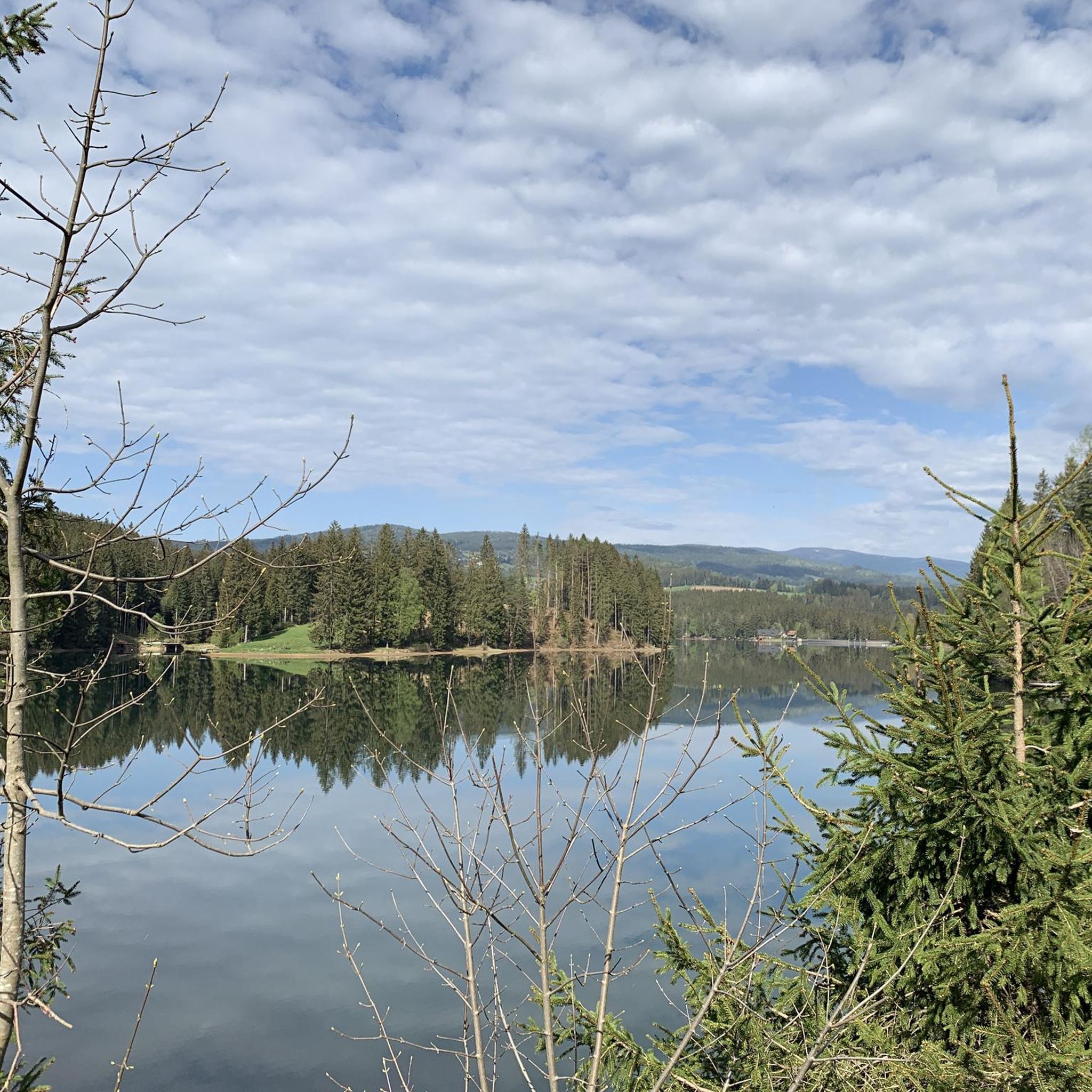
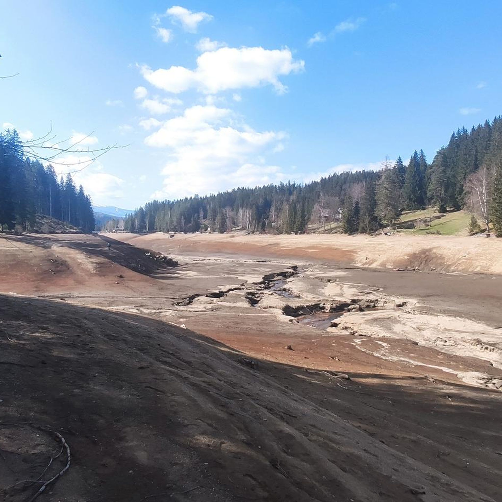
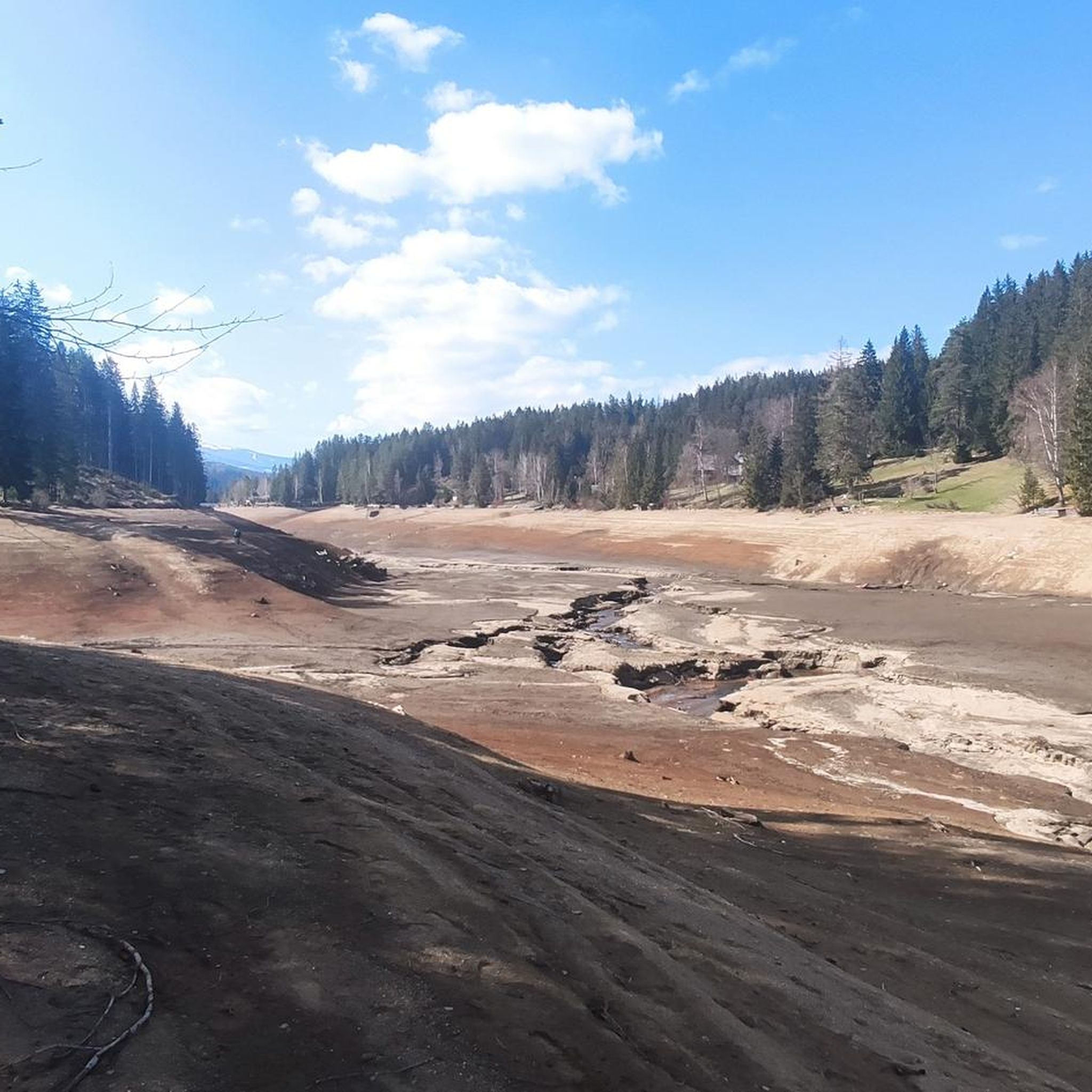
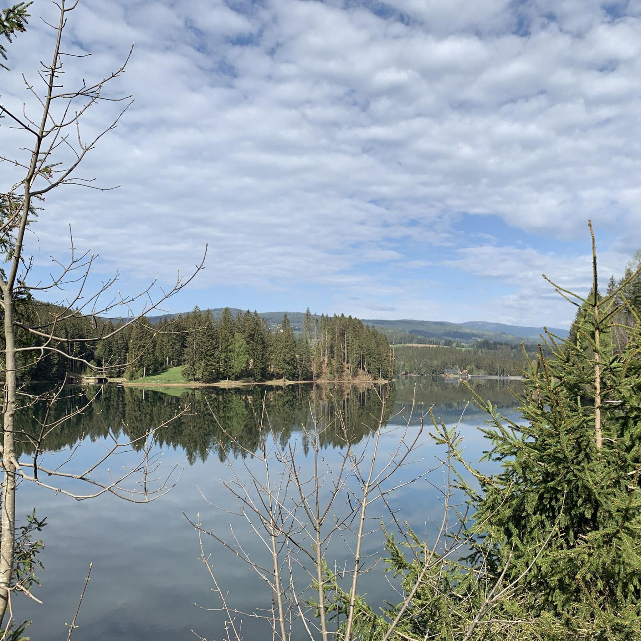
Road cycling routes around Packer Stausee are set within a magnificent forested area, often described as "Klein-Kanada" due to its picturesque wooded landscape and fjord-like ambiance. The region features the Packer Stausee reservoir itself, with an asphalt road traversing its dam, and is characterized by hilly terrain. This mid-mountain highland offers a blend of paved roads and varied elevation, making it suitable for road cyclists seeking scenic routes.
Best road cycling routes around Packer Stausee
- The most popular road cycling…
Last updated: June 26, 2026
5.0
(1)
9
riders
Moderate road ride. Good fitness required. Mostly well-paved surfaces and easy to ride.
3
riders
24.7km
01:22
460m
460m
Moderate road ride. Good fitness required. Mostly well-paved surfaces and easy to ride.

Sign up for free
4.0
(1)
28
riders
45.1km
02:37
920m
920m
Hard road ride. Very good fitness required. Mostly well-paved surfaces and easy to ride.
6
riders
35.8km
02:03
780m
780m
Moderate road ride. Good fitness required. Mostly well-paved surfaces and easy to ride.
8
riders
95.7km
05:52
2,390m
2,390m
Hard road ride. Very good fitness required. Some segments of this route may be unpaved and difficult to ride.
Get access to more routes and recommendations from other explorers.
Sign up for free
Already have an account?
Our route recommendations are based on thousands of hikes, rides, and runs completed by other people on komoot.
Start today with a free account
Your next adventure awaits.
Login or Signup
Tips from the Community

Nice climb via Kleinfeistritz, not too steep, max. 10%.
0
0

The talc-like mineral leucophillite is mined in Kleinfeistritz and is further processed in the talc plant in Weisskirchen.
3
0

With moderately good weather (cool with rain forecast) on May 1st, there was nothing going on here - probably not a bad tactic to avoid the motorcycles, even if it was rather unintentional.
0
0

From Edelschrott you have a great view of the Alps and cities.
0
0
With the racing bike in the direction of Preitenegg or on the Hebalm.
0
0
You could also turn right with the MB in the direction of Barbarahaus or Knödelhütte for a snack. The upper route is gravel.
0
0
If the temperature at the lake is right, you could also turn left on the pack in the direction of the lake. It's a little more Hhm, but it's worth it.
0
0
Before Edelschrott you can also turn left at the Mattelkehre into the Auenweg, where you can also get to Teigitsch or Edelschrott.
0
0
Frequently Asked Questions
What kind of terrain can I expect on road cycling routes around Packer Stausee?
The region around Packer Stausee is characterized by a magnificent forested, mid-mountain highland with varied hilly terrain. You'll find a mix of paved roads, including an asphalt road traversing the dam, and some sections that might include forest paths, though many are suitable for road bikes. The landscape is often likened to "Klein-Kanada" due to its picturesque wooded and fjord-like ambiance.
Are there road cycling routes suitable for beginners or families around Packer Stausee?
Yes, there are options for different ability levels. While the region features hilly terrain, there are routes considered moderate. For example, the Pack Reservoir – Packer Reservoir loop from Pack is a moderate 24.7 km path with views of the reservoir and paved sections. The asphalt path directly along the Packer Stausee leading up to Pack is also manageable, though it includes a steep but relatively short climb.
What are the difficulty levels of road cycling routes in the Packer Stausee area?
The road cycling routes around Packer Stausee offer a range of difficulties. Out of 21 available routes, 14 are classified as moderate, and 6 are considered difficult, providing options for both experienced cyclists and those looking for a more relaxed ride. There is also 1 easy route available.
Are there any notable landmarks or attractions to see while road cycling around Packer Stausee?
Yes, the Packer Stausee itself is a central feature, with an asphalt road over the dam offering scenic views. The dense forests create a "fjord-like" landscape. Near the dam, you can find the Talschaftsmuseum and information center, which provides insights into local culture and history. The public bathing beach in Edelschrott-Modriach also offers lake access.
Where can I find refreshment stops or cafes along the road cycling routes?
Numerous refreshment stops are located around the Packer Stausee. These establishments often offer local delicacies, including excellent smoked fish and trout, providing perfect opportunities to refuel during your ride.
What is the best time of year to go road cycling around Packer Stausee?
The region's magnificent forested surroundings and the reservoir make it appealing for outdoor activities. While specific seasonal conditions for cycling aren't detailed, the natural beauty suggests that spring, summer, and early autumn would offer pleasant conditions for road cycling, allowing you to enjoy the picturesque wooded landscape.
Are there any loop trails for road cycling around Packer Stausee?
Yes, many of the road cycling routes around Packer Stausee are designed as loops. For instance, the popular Packer Reservoir – Ströhberne Bridge - Hirzmann Dam loop from Grauerlen-Moorbirkenbruchwald am Westende des Packer Stausees and the Pack Reservoir – Packer Reservoir loop from Pack are excellent examples of circular routes that allow you to experience the diverse scenery.
What do other road cyclists say about the routes in Packer Stausee?
The road cycling routes in Packer Stausee are highly rated by the komoot community, with an average score of 4.8 stars from more than 10 reviews. Over 200 road cyclists have explored the varied terrain, often praising the scenic views and the blend of paved roads through the forested areas.
How much elevation gain can I expect on road cycling routes in this region?
The Packer Stausee region is characterized by hilly terrain, so you can expect significant elevation changes on many routes. For example, the Packer Reservoir – View of Packerstausee loop from Pack, a 45.1 km trail, features an elevation gain of approximately 920 meters. Even moderate routes like the View of Packerstausee – Packsattel Pass (1200 m) loop from Pack include about 775 meters of ascent.
Is there public transport available to reach the road cycling routes around Packer Stausee?
While the region is well-suited for outdoor activities, specific public transport options for cyclists bringing bikes to the Packer Stausee area are not detailed. It's advisable to check local transport schedules and bike carriage policies if you plan to use public transport.
Are there specific parking areas for cyclists accessing the routes around Packer Stausee?
The region is a popular destination for various outdoor activities, including cycling. While specific designated cycling parking areas are not explicitly mentioned, access points to the lake and surrounding trails typically have parking facilities for visitors. It's recommended to look for parking near the main access points to the reservoir or in nearby towns like Pack.
What makes the Packer Stausee area unique for road cycling?
The Packer Stausee area stands out for its unique "Klein-Kanada" nickname, owing to its picturesque wooded landscape and fjord-like ambiance created by dense forests extending to the water's edge. The combination of a central reservoir, varied hilly terrain, and a network of mostly paved roads offers a distinct and scenic road cycling experience.
Most popular routes around Packer Stausee

Get inspired with the komoot mobile app


Explore more
Browse the best Road cycling routes in other regions.
