The best walks and hikes around Cambridge
4.2
(9)
128
hikers
16
hikes
Hiking around Cambridge is characterized by its generally flat terrain, making it accessible for various fitness levels. The region features the winding Speed River, which offers picturesque riverside paths, and diverse natural landscapes. Hikers can explore areas with gentle elevation changes, often through woodlands and along waterways. The trails provide opportunities to experience the local environment, including riverine ecosystems and forested sections.
Best hiking trails around Cambridge
- The most popular hiking route is Homer Watson Park loop via Grand Valley…
Last updated: September 30, 2026
11
hikers
7.75km
02:01
50m
50m
Moderate hike. Good fitness required. Easily-accessible paths. Suitable for all skill levels.
7
hikers
6.99km
01:51
40m
50m
Easy hike. Great for any fitness level. Easily-accessible paths. Suitable for all skill levels.

5
hikers
12.0km
03:03
40m
40m
Moderate hike. Good fitness required. Easily-accessible paths. Suitable for all skill levels.
5
hikers
6.34km
01:37
20m
20m
Easy hike. Great for any fitness level. Easily-accessible paths. Suitable for all skill levels.
4.0
(1)
1
hikers
6.20km
01:38
60m
60m
Easy hike. Great for any fitness level. Easily-accessible paths. Suitable for all skill levels.
Get access to more routes and recommendations from other explorers.
Already have an account?
Our route recommendations are based on thousands of hikes, rides, and runs completed by other people on komoot.
Start today with a free account
Your next adventure awaits.
Tips from the Community

Pioneer Memorial Tower Park sits within the Pioneer Tower Natural Area. The centerpiece is the Waterloo Pioneer Memorial Tower, built in 1925–26 to designs by architect William Langton. Standing 18.9 metres tall and clad in local fieldstone, the tower commemorates the arrival of Pennsylvania German settlers to the Waterloo region between 1800 and 1803.
0
0
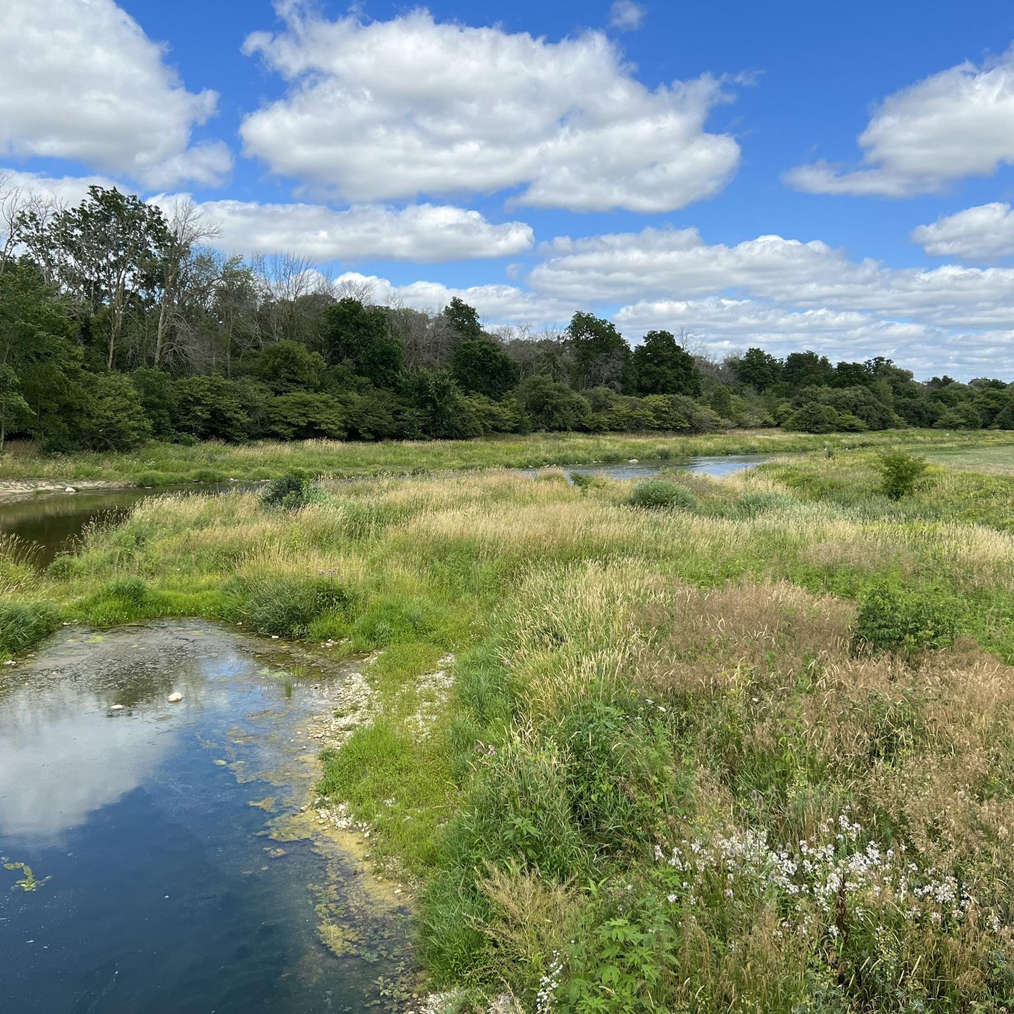
Trans-Canada Trail offers a tranquil mix of natural beauty and local history along the Grand River in Kitchener. This easy-rated, well-maintained section runs on dirt and gravel paths that wind through mixed forest canopy and open meadow pockets, making it a popular spot for year-round walking, trail running, birdwatching, and cycling. Dogs are welcome on leash. The route connects to the larger Walter Bean Grand River Trail network.
0
0

Following the Grand River through Kitchener, Waterloo, and Cambridge, the Walter Bean Grand River Trail offers a long, scenic mix of riverside paths, forest segments, boardwalks, and open meadow views. The route connects neighbourhoods, parks, and conservation areas, with frequent access points and well-marked sections that make it easy to walk shorter pieces or cycle longer stretches. Lookouts along the river give excellent views of the water, wetlands, and seasonal wildlife, while paved portions keep the trail accessible year-round. It’s one of the region’s signature green corridors and a reliable choice for peaceful, scenic walking or cycling close to the city.
0
0

The Grand River is a major waterway that stretches nearly 280 kilometers through the southern part of Ontario. It winds past farmland, forests, and historic towns before flowing into Lake Erie. There are multiple ways to enjoy what the river has to offer such as hiking long-distance routes like the Grand Valley Trail, or paddling peaceful river stretches with access from several points. Wildlife is also abundant along its banks, making it a great pick for a nature-focused outing.
0
0

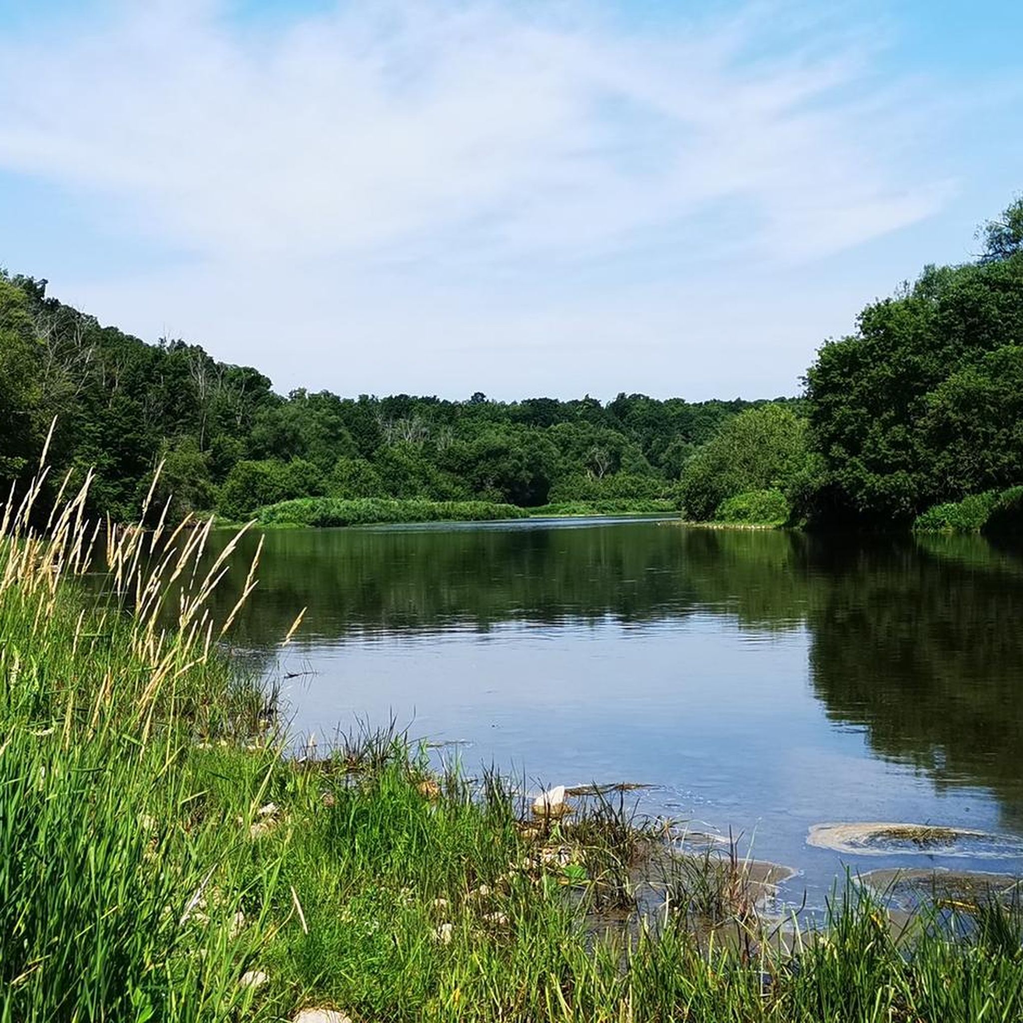
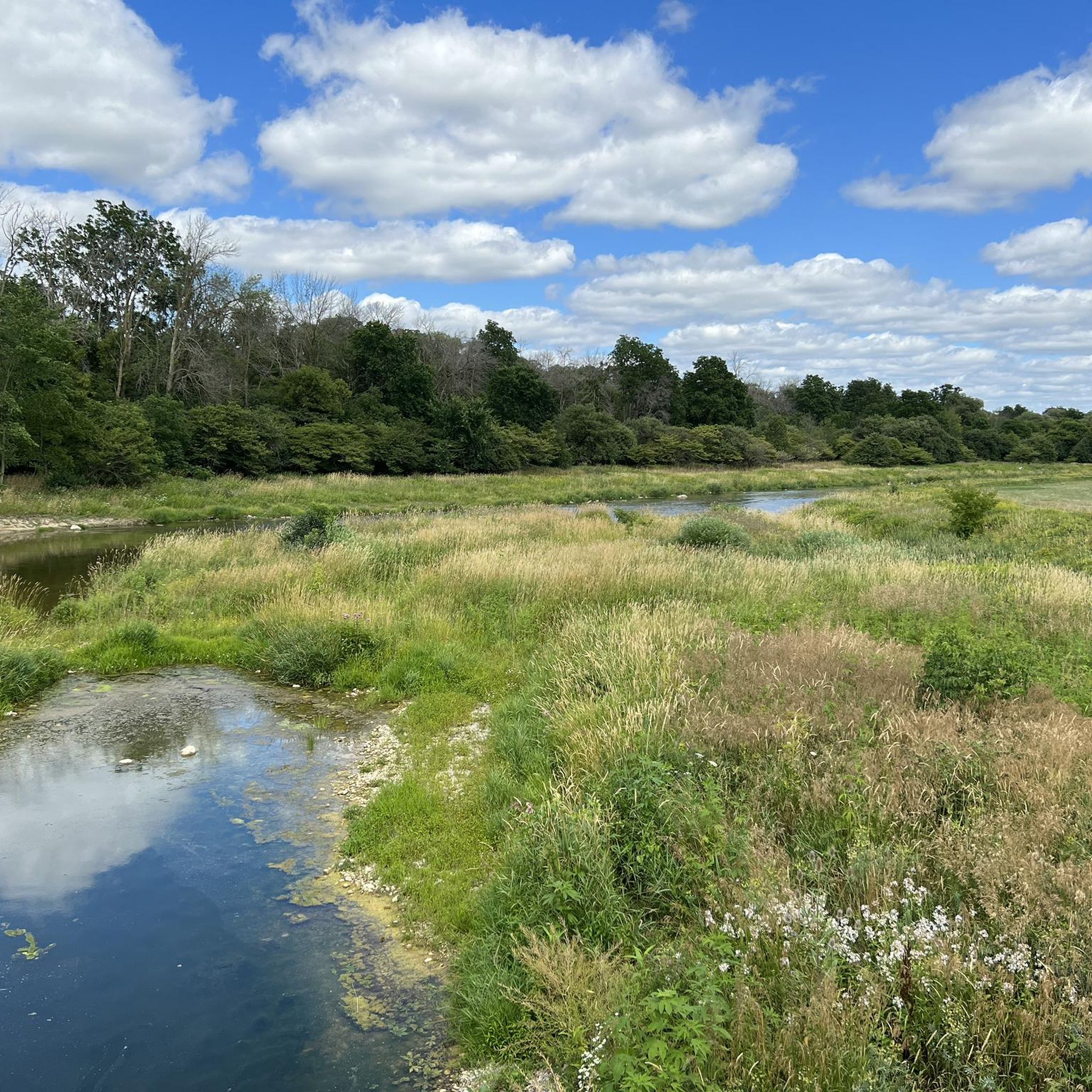
The Speed River is a tributary of the Grand River that flows for about 100 kilometres through Wellington County and Cambridge, winding past farmland, wooded valleys, and urban parkland before joining the Grand River at Preston. Along this section, the river follows a quieter course through beautiful tree-lined banks and open green space before reaching its confluence with the Grand River at Settlers’ Fork.
0
0
The Grand River is the longest river entirely within southern Ontario, and runs about 280 kilometres from Dundalk to Lake Erie, shaping much of the landscape through the Waterloo Region. Along this section near the Bob McMullen Linear Trail, the river winds past wooded banks and limestone bluffs before meeting the Speed River at a scenic confluence known as Settlers’ Fork, creating one of the area’s most recognized river views.
0
0
Bob McMullen Linear Trail is a scenic riverside path that follows the Grand and Speed Rivers on a wide stone-dust surface between Hamilton Street and the Preston Memorial Auditorium. The mostly flat route runs along the riverbanks and open green space, and is popular for walking, cycling, jogging, and birdwatching. Along the way, there are plenty of beautiful views of the water, and the trail is known for the abundance of butterflies and riverside wildlife, so keep an eye out for ducks and an occasional Great Egret, and if you’re lucky, you might even spot the rare Tawny Emperor butterfly, occasionally seen in this area.
0
0
As you walk, you will follow white blazes marked on the trees, which guide you through rolling hills and quiet, shaded pathways. The woods are filled with a mix of hardwoods like maple and oak, which create a beautiful canopy overhead. In the spring, you can see colorful wildflowers blooming on the forest floor, and in the autumn, the leaves turn into a sea of bright yellow and orange.
0
0
Frequently Asked Questions
How many hiking trails are available around Cambridge, Ontario?
There are over 30 hiking routes available around Cambridge, Ontario, ranging from easy strolls to moderate excursions. The komoot community has rated these trails with an average score of 4.75 stars.
Are there easy hiking trails suitable for beginners in Cambridge, Ontario?
Yes, Cambridge, Ontario offers many easy hiking trails. Approximately 30 of the routes are classified as easy, making them perfect for beginners or those looking for a leisurely walk. An example is the Homer Watson Park loop via Grand Valley Trail — Kitchener, an easy 4.0-mile (6.5 km) loop.
What kind of terrain can I expect on hikes around Cambridge, Ontario?
Hiking around Cambridge, Ontario is characterized by generally flat terrain, making it accessible for various fitness levels. You'll find picturesque riverside paths along the Speed River and Grand River, as well as routes through woodlands and forested sections. While mostly gentle, some trails may have slight elevation changes.
Are there any circular walks in Cambridge, Ontario?
Yes, there are several circular walks available. A popular option is the Homer Watson Park loop via Grand Valley Trail — Kitchener, which is an easy 4.0-mile (6.5 km) route. Another is the Speed River loop via Mill Run Trail — Cambridge, Ontario, a moderate 7.4-mile (11.9 km) path.
What are some notable natural features or landmarks to see while hiking in Cambridge, Ontario?
Hikers in Cambridge, Ontario can explore several natural features and landmarks. The Speed River and the Grand River are central to many routes, offering scenic riverine landscapes. You can also visit Homer Watson Park, known for its forested areas, or explore the trails within Little Tract.
What do other hikers enjoy most about the trails in Cambridge, Ontario?
The trails in Cambridge, Ontario are highly rated by the komoot community, with an average score of 4.75 stars from over 5 reviews. Hikers often praise the varied scenery along the rivers, the accessibility of the generally flat terrain, and the pleasant walks through parks and forested sections.
Are there any longer hiking trails for more experienced hikers in Cambridge, Ontario?
For those seeking longer excursions, the Walter Bean Grand River Trail — Kitchener offers a moderate 10.6-mile (17.1 km) route through riverine landscapes, typically completed in about 4 hours and 24 minutes. There are 7 moderate trails in total for those looking for a bit more challenge.
Can I find trails that follow the Grand River in Cambridge, Ontario?
Yes, the Grand River is a prominent feature in the region's hiking network. The Walter Bean Grand River Trail — Kitchener is a significant route that follows the river, offering extensive views and a moderate challenge. You can also find sections of the Grand River Trail.
Are there any parks or natural areas to explore near Cambridge, Ontario?
Absolutely. Homer Watson Park is a popular destination with trails and natural beauty. Additionally, areas like Little Tract provide forested environments for hiking and enjoying nature.
What is the best way to explore the Speed River by foot in Cambridge, Ontario?
The Speed River loop via Mill Run Trail — Cambridge, Ontario is an excellent way to experience the Speed River. This moderate 7.4-mile (11.9 km) path follows the river, providing varied scenery along its banks and is a favorite among local hikers.
Most popular attractions around Cambridge

Get inspired with the komoot mobile app


Explore more
Browse the best Hikes in other regions.
