The best walks and hikes around Keutschacher Lake
4.5
(4800)
23,790
hikers
19
hikes
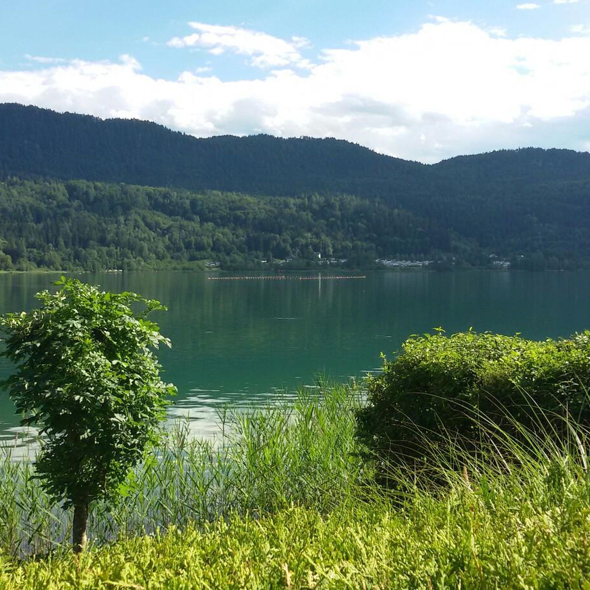
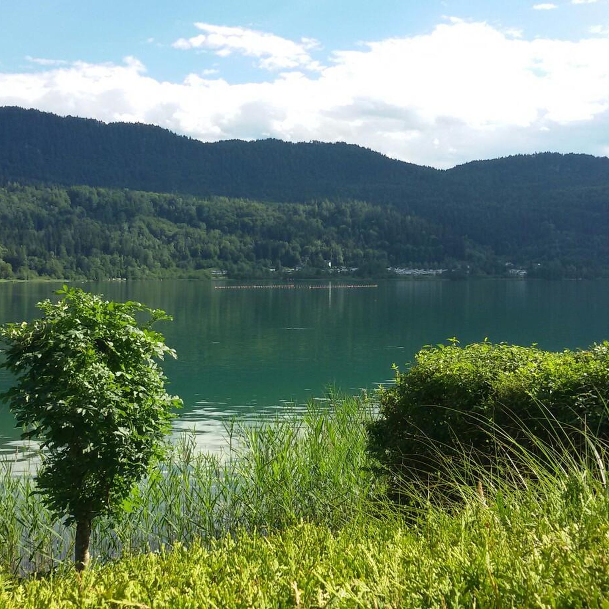
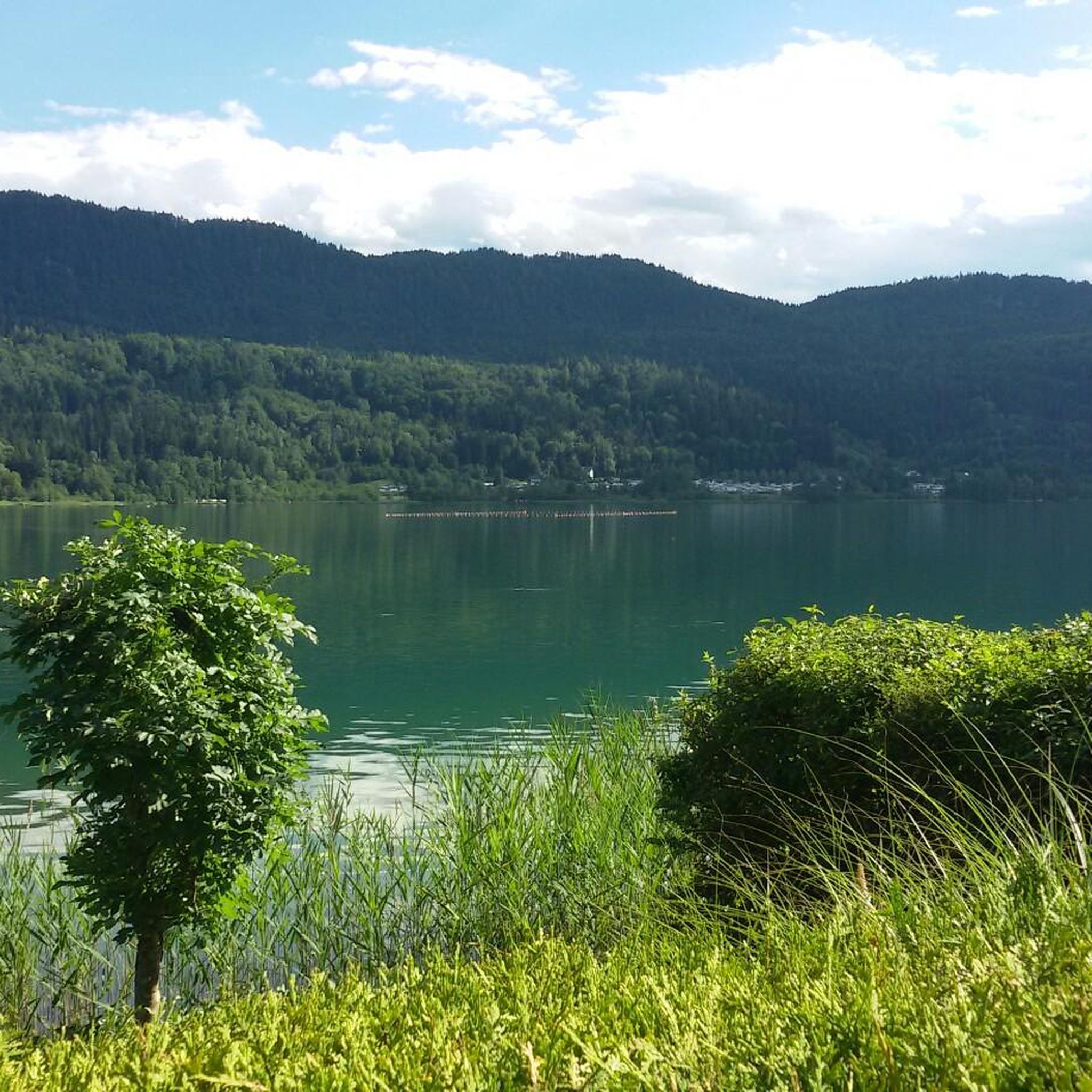
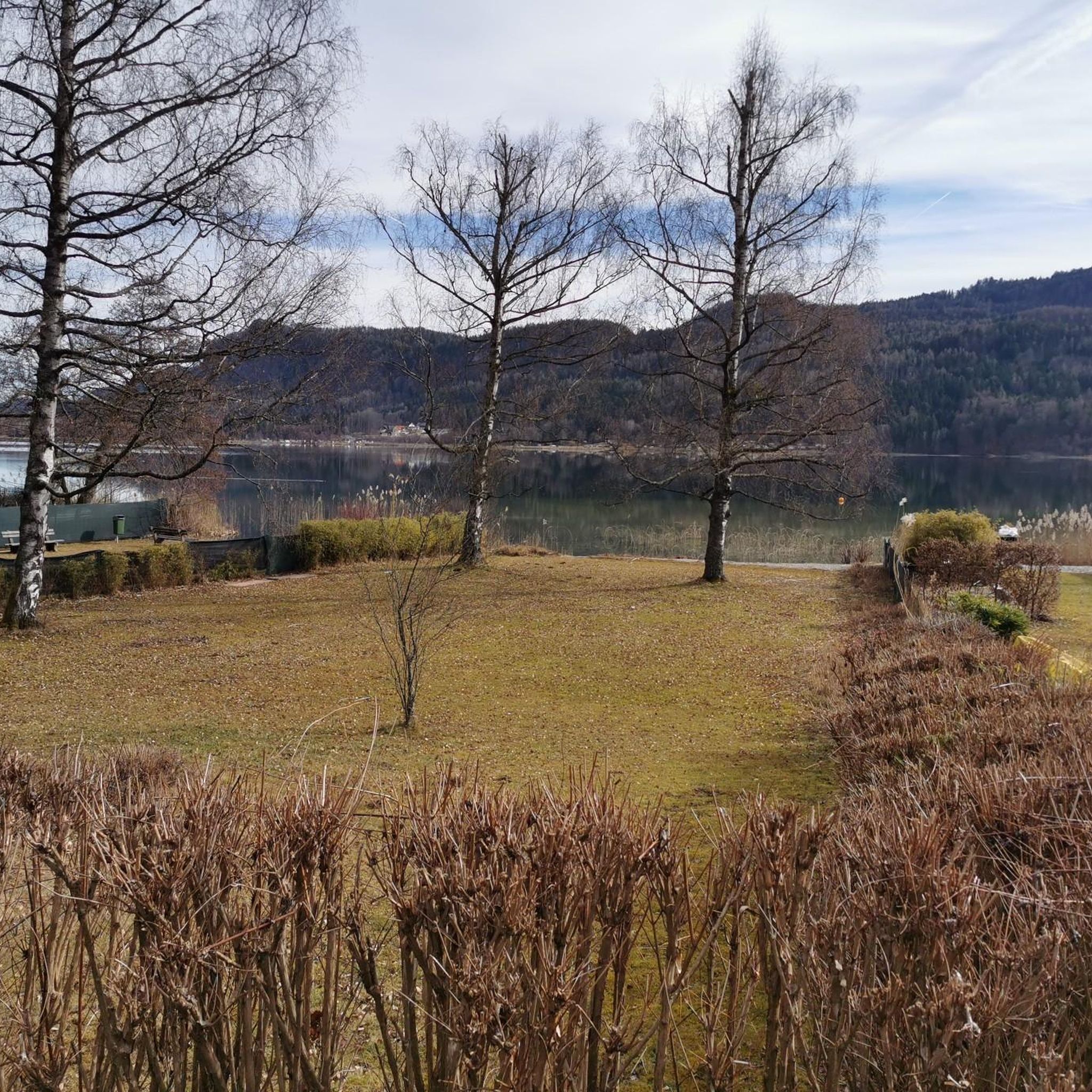
Hiking around Keutschacher Lake offers diverse landscapes within a four-lakes valley, encompassing Hafnersee, Rauschelesee, and Baßgeigensee. The region features gently rolling hills and extensive forests, with a significant portion designated as a nature reserve. The Keutschacher Moor, a protected wetland, provides a unique natural habitat for exploration.
Best hiking trails around Keutschacher Lake
- The most popular hiking route is View of Keutschacher See – Cafè Mitanond loop from Bezirk Klagenfurt-Land, an easy 4.5 miles (7.2 km) trail that takes…
Last updated: August 18, 2026
4.2
(157)
571
hikers
Easy hike. Great for any fitness level. Easily-accessible paths. Suitable for all skill levels.
4.8
(10)
28
hikers
Moderate hike. Good fitness required. Mostly accessible paths. Sure-footedness required.

Sign up for free
4.3
(6)
26
hikers
16.6km
04:46
380m
380m
Moderate hike. Good fitness required. Easily-accessible paths. Suitable for all skill levels.
4.1
(19)
48
hikers
Easy hike. Great for any fitness level. Easily-accessible paths. Suitable for all skill levels.
5.0
(5)
29
hikers
5.64km
01:42
140m
140m
Moderate hike. Great for any fitness level. Mostly accessible paths. Sure-footedness required.
Get access to more routes and recommendations from other explorers.
Sign up for free
Already have an account?
Our route recommendations are based on thousands of hikes, rides, and runs completed by other people on komoot.
Start today with a free account
Your next adventure awaits.
Login or Signup
Tips from the Community

..it's worth a stop here! ☕️👀
1
0

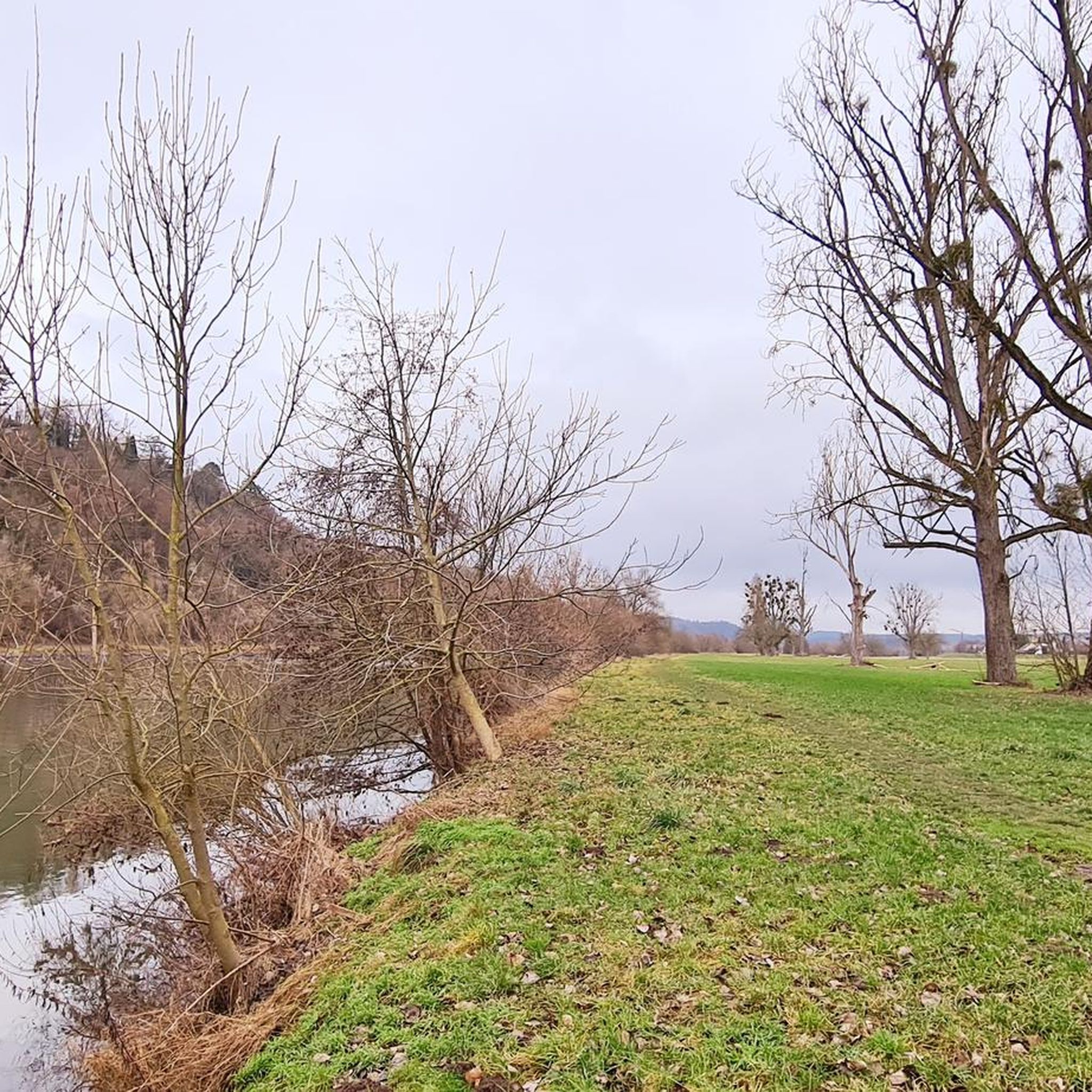
Near the shores of the Hafnersee, cycling is possible in the southern area via a pleasant gravel path. For the most part, the route leads through a shady forest path, a small section leads over a small hill between moorland and cultivated fields. Along the route, some natural bathing spots invite you to dive into the lake.
0
0
Along the Keutschacher See, in the southern area, you can cycle on a shady forest path that is only a bit "tricky" in one spot. Along the route, some natural bathing spots invite you to dive into the lake.
0
0
Along the Keutschacher See, in the southern area, you can cycle along a shady forest path that is only a little "tricky" in one spot. Along the route, some natural bathing spots invite you to dive into the lake.
0
0
Along the Keutschach Lake, cycling is possible in the southern area via a shady forest path, which is only a bit "tricky" in one spot. Along the route, some natural bathing spots invite you to dive into the lake.
0
0
Along the northern shore of the lake, there is an official cycle path next to the main road. At this point, there is public access to the lake, inviting you to take a break and dip into the lake.
0
0
A well-radable forest path runs along the southern shore of the lake, and several natural bathing spots along the route invite you to jump into the lake.
0
0
A small lake that can be easily cycled around. In the northern area, an official cycle path runs alongside the main road, while in the southern area there is a forest path to cycle, which is only a bit "tricky" in one spot. Along the forest path, some natural bathing spots invite you to dive into the lake.
0
0
Frequently Asked Questions
How many hiking trails are there around Keutschacher Lake?
There are over 19 hiking trails around Keutschacher Lake, offering diverse experiences for various skill levels. These include 7 easy, 10 moderate, and 2 difficult routes.
Are there easy hiking trails suitable for beginners or leisurely walks?
Yes, Keutschacher Lake offers several easy trails perfect for beginners or those seeking a relaxed stroll. An excellent option is the Obiltschnig Pond – Moorturm Observation Tower loop, which is 2.9 km long and takes about 45 minutes. Another popular choice is the View of Keutschacher See – Cafè Mitanond loop, an easy 7.2 km trail that offers serene lakeside paths.
What are the best times of year to go hiking around Keutschacher Lake?
Spring and autumn are considered the ideal seasons for hiking around Keutschacher Lake. During these times, temperatures are mild, and nature is at its most vibrant, with blooming flowers in spring (like the dandelion meadows in April) or rich fall colors. The clear waters of the lake also provide an inviting opportunity for refreshment after a hike.
Are there any family-friendly hiking options in the area?
Absolutely. The region is great for families. The Keutschach Moor Nature Trail is particularly engaging for children, featuring an interactive riddle adventure. While not explicitly listed in the guide data, the 'Märchenwald (Fairytale Forest) hiking trail' is also highly recommended for families, offering an enchanting journey through a forest filled with fairy tale characters.
Can I bring my dog on the hiking trails around Keutschacher Lake?
Many trails around Keutschacher Lake are dog-friendly, allowing you to enjoy the beautiful scenery with your canine companion. However, it's always advisable to keep dogs on a leash, especially in nature reserve areas like the Keutschacher Moor, to protect local wildlife and ensure a pleasant experience for all hikers.
What kind of natural features or wildlife can I expect to see?
The region is rich in natural features, including the unique Keutschacher Moor, a protected wetland under the RAMSAR convention. Here, you can learn about its special flora and fauna, including the marsh turtle. The area is also part of a four-lakes valley, offering diverse scenery from serene lakeside paths to extensive forests and gently rolling hills.
Are there any circular hiking routes available?
Yes, many routes around Keutschacher Lake are circular, allowing you to start and end at the same point. Examples include the View of Keutschacher See – Cafè Mitanond loop and the Pyramidenkogel Observation Tower – View of Maria Wörth Church loop. The Keutschacher Moor also features a 7-kilometer-long circular nature trail.
What are some notable viewpoints or landmarks along the trails?
A prominent attraction is the Pyramidenkogel Observation Tower, which offers breathtaking panoramic views of Keutschacher Lake, the surrounding Carinthian landscape, and the distant Karawanks mountains. You can reach it via routes like the Pyramidenkogel Observation Tower – View of Maria Wörth Church loop. Other scenic spots include the View of Keutschacher See.
Are there any waterfalls to see while hiking?
Yes, for those interested in waterfalls, the Turiawald Waterfall – Hafnersee loop is a moderate 16.6 km trail that leads through forests and past the Turiawald Waterfall, offering a rewarding experience.
What do other hikers enjoy most about hiking in Keutschacher Lake?
The area is highly rated by the komoot community, with an average score of 4.5 stars from over 1300 reviews. Hikers often praise the diverse landscapes, from serene lakeside paths to protected moorlands and gently rolling hills, as well as the well-marked and extensive network of trails suitable for all skill levels.
Are there places to eat or get refreshments near the trails?
Yes, you can find options for refreshments. For example, the View of Keutschacher See – Cafè Mitanond loop specifically mentions Cafè Mitanond, indicating that there are establishments available to hikers.
What are the starting points for hikes around Keutschacher Lake?
Many popular routes, such as the View of Keutschacher See – Cafè Mitanond loop and the Pyramidenkogel Observation Tower – View of Maria Wörth Church loop, typically start from Bezirk Klagenfurt-Land. The extensive trail network means there are various access points around the lake and surrounding areas.
Most popular routes around Keutschacher Lake
Most popular attractions around Keutschacher Lake

Get inspired with the komoot mobile app


Explore more
Browse the best Hikes in other regions.
