The best running trails around Morin-Heights
4.6
(9)
834
runners
67
runs
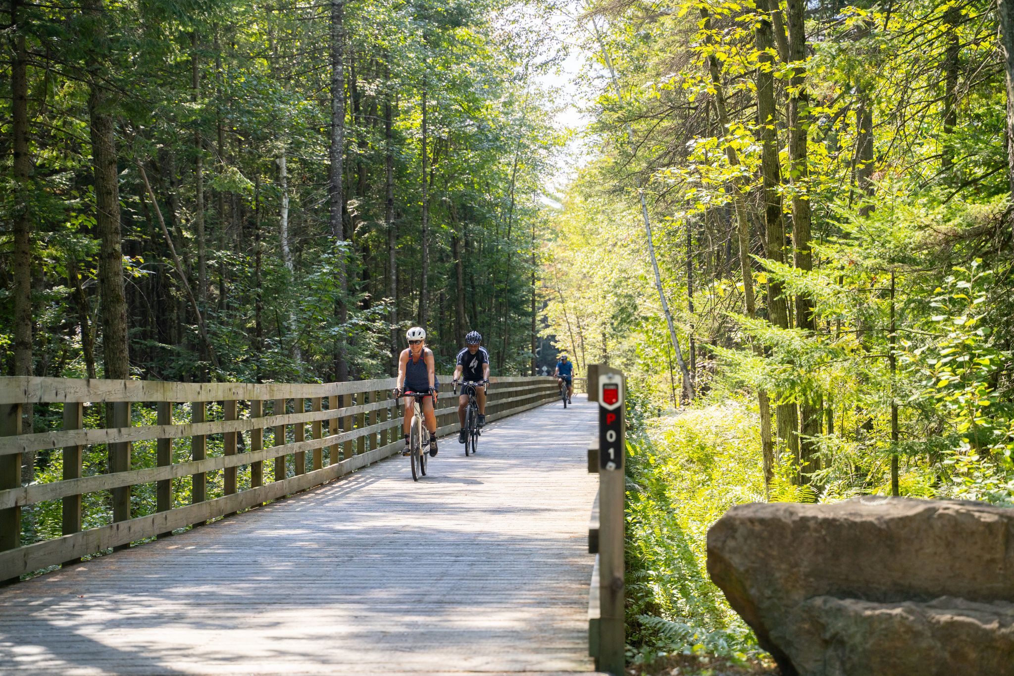
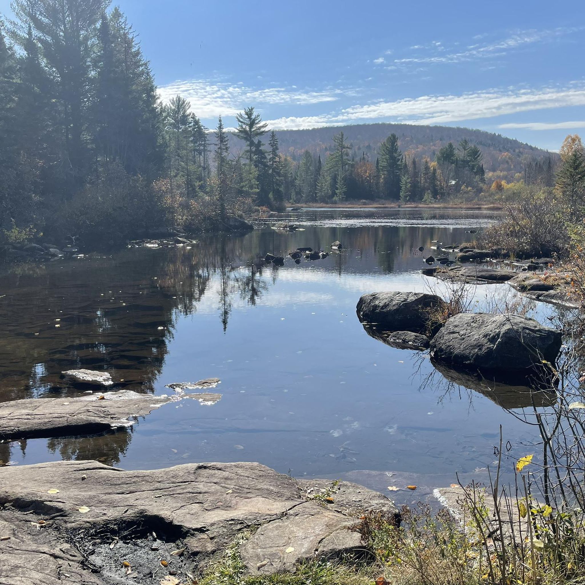
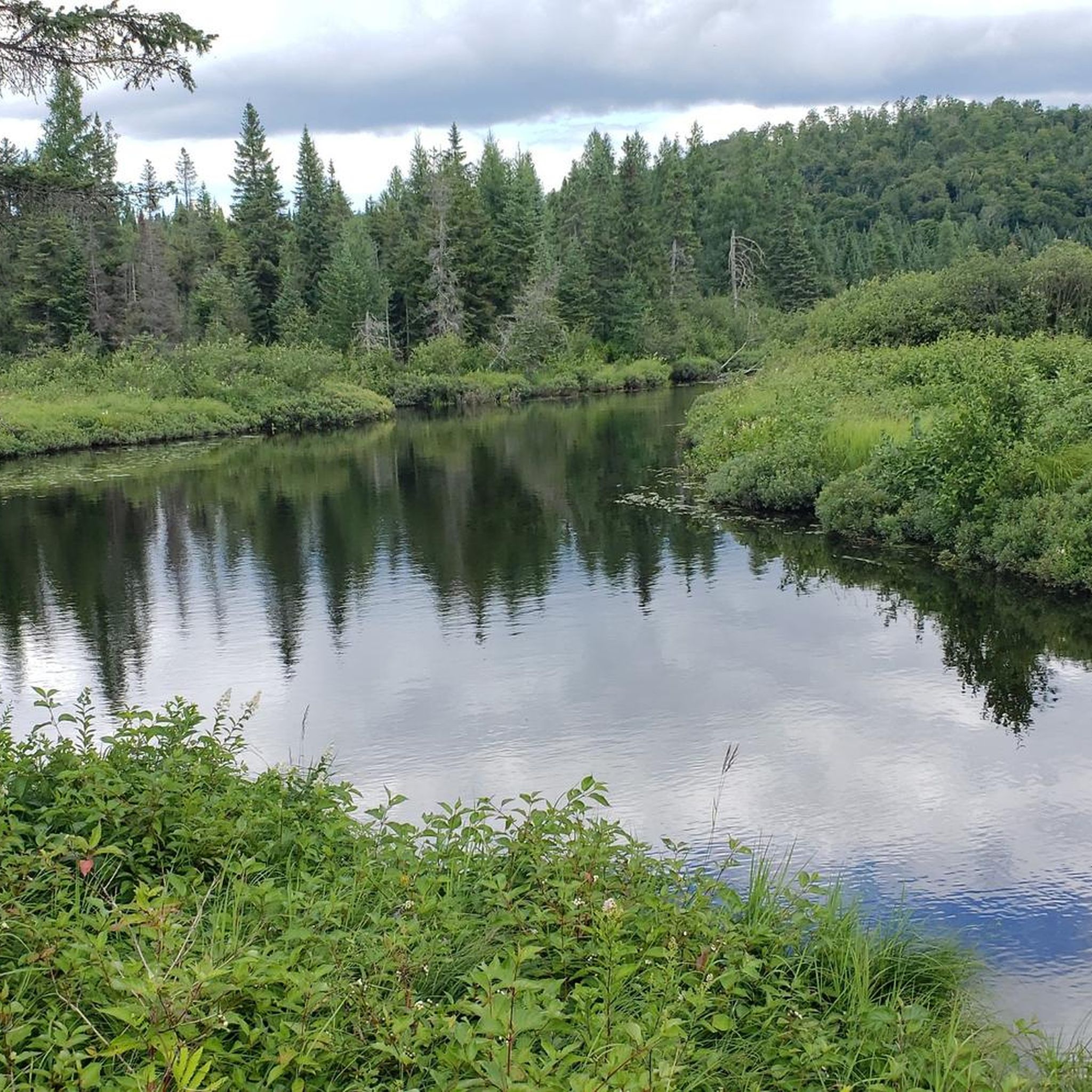
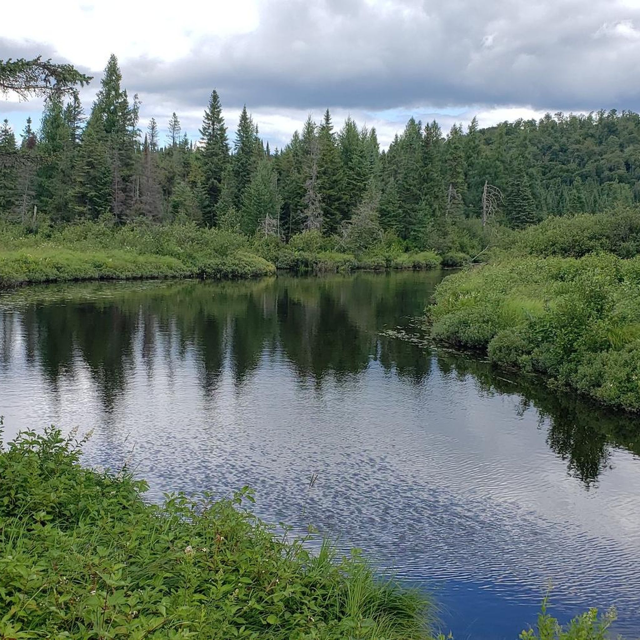
Jogging routes around Morin-Heights traverse a diverse landscape within the Laurentian Mountains of Quebec. The region is characterized by hilly, densely forested terrain, offering varied experiences for runners. Numerous lakes, including Lake Raymond and Lac Écho, are present, often surrounded by wooded areas. The area also features the Aerobic Corridor, an extensive trail network suitable for running.
Best jogging routes around Morin-Heights
- The most popular jogging route is Lac Chevreuils loop from Morin Heights, a 9.4 miles (15.2 km)…
Last updated: October 4, 2026
40
runners
8.67km
00:54
60m
60m
Moderate run. Good fitness required. Mostly paved surfaces. Suitable for all skill levels.
29
runners
6.83km
00:52
150m
150m
Moderate run. Good fitness required. Mostly paved surfaces. Suitable for all skill levels.

10
runners
9.12km
00:57
50m
50m
Moderate run. Good fitness required. Mostly paved surfaces. Suitable for all skill levels.
8
runners
7.89km
00:52
100m
100m
Moderate run. Good fitness required. Mostly paved surfaces. Suitable for all skill levels.
5
runners
8.93km
01:00
210m
210m
Moderate run. Good fitness required. Mostly paved surfaces. Suitable for all skill levels.
Get access to more routes and recommendations from other explorers.
Already have an account?
Our route recommendations are based on thousands of hikes, rides, and runs completed by other people on komoot.
Start today with a free account
Your next adventure awaits.

Other adventures around Morin-Heights

Tips from the Community

The charming town of Saint-Sauveur, in the Laurentians, is a popular tourist destination, known for its ski resorts, quaint boutiques, restaurants, and festivals.
0
0
Frequently Asked Questions
How many running routes are available in Morin-Heights?
Morin-Heights offers a wide selection of running routes, with over 70 trails available for joggers of all levels. These include 4 easy routes, 56 moderate routes, and 12 more challenging options, ensuring there's something for everyone.
Are there easy running routes for beginners in Morin-Heights?
Yes, Morin-Heights has several easy running routes perfect for beginners or those looking for a relaxed jog. While specific easy routes are not detailed here, the region's diverse trail network includes options with gentler terrain. You can find 4 easy routes listed on komoot, alongside many moderate trails that might also suit a beginner's pace.
What kind of terrain can I expect on jogging trails in Morin-Heights?
Jogging routes in Morin-Heights are characterized by hilly and densely forested terrain, typical of the Laurentian Mountains. You'll find a mix of paths around picturesque lakes like Lake Raymond and Lac Écho, as well as more challenging inclines on mountain trails. The extensive Aerobic Corridor also provides varied surfaces suitable for running.
Are there any circular running routes in Morin-Heights?
Yes, many of the running paths in Morin-Heights are designed as loops, offering convenient circular routes. For example, the Lac Chevreuils loop from Morin Heights is a popular 9.4-mile (15.2 km) option, and the Lac Lefebvre loop from Morin Heights provides a 4.2-mile (6.8 km) trail through forested areas.
What natural features or landmarks can I see along the running routes?
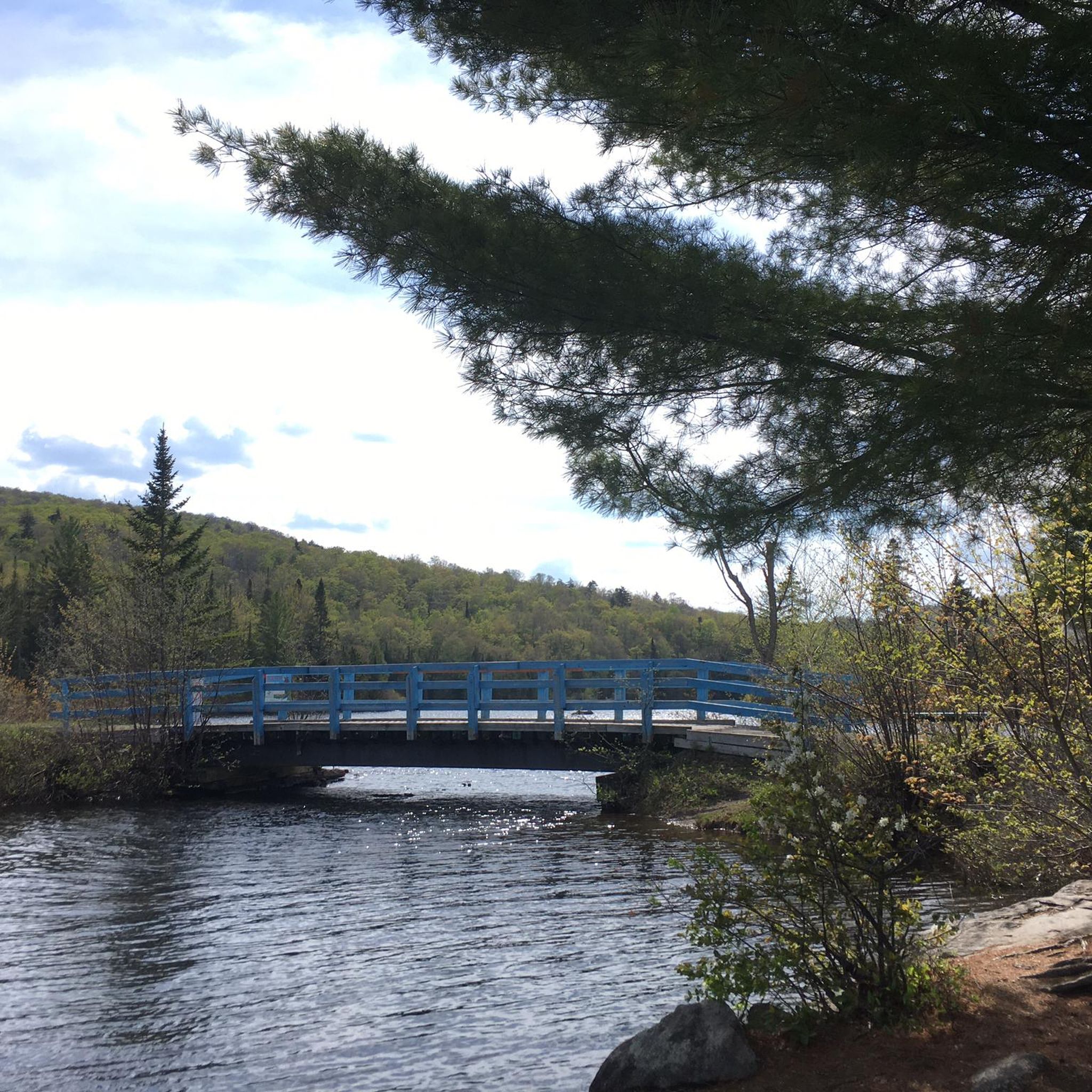
Morin-Heights' running routes offer scenic views of the Laurentian landscape. You can expect to see several beautiful lakes, such as Lake Raymond, Lac Vert, Lac Cook, and Lac Écho. The Aerobic Corridor itself is a significant feature, and you might also encounter the Blue Bridge Over rivière à Simon. The region's dense forests and hilly terrain, including Mont Hurtubise, provide a picturesque backdrop for your run.
Are there dog-friendly running trails in Morin-Heights?
While specific regulations can vary by trail, many outdoor areas in Morin-Heights, especially those part of the extensive trail networks, are generally dog-friendly. It's always recommended to keep your dog on a leash and check local signage for any specific restrictions on individual trails or conservation areas.
What is the best time of year for jogging in Morin-Heights?
Morin-Heights offers excellent jogging opportunities year-round. Spring and summer provide lush green scenery, while autumn is particularly stunning as the forest canopy transforms with vibrant colors. Even winter offers unique experiences, with many trails suitable for snowshoeing or fat biking, which can also be adapted for winter running, depending on conditions.
Are there any running routes that offer great viewpoints?
Given Morin-Heights' location in the hilly Laurentian Mountains, many routes naturally offer excellent viewpoints, especially those that ascend Mont Hurtubise or traverse the 'Blue Hills' area. The dense forests and undulating landscape mean you'll frequently encounter scenic vistas, particularly during autumn when the fall foliage is at its peak.
Where can I find parking near the running trails in Morin-Heights?
Parking is generally available at key access points for the trail networks in Morin-Heights. A notable starting point for many activities, including running on the Aerobic Corridor, is near the old train station on Lac Écho road. Specific parking details for individual routes can often be found on komoot tour pages or local trail maps.
Can I access Morin-Heights running trails using public transport?
Morin-Heights is located about an hour northwest of Montreal, making it accessible by car. While public transport options directly to specific trailheads might be limited, regional bus services connect to the town. For detailed information on public transport to Morin-Heights, it's best to consult local transit authority websites.
Are there any cafes or amenities near the running routes?
Yes, Morin-Heights offers amenities for runners. The town itself has cafes and services. For example, the Café de la gare de Sainte-Adèle is a nearby option, and the Val-David Train Station area, which is part of the Aerobic Corridor, often has facilities. The old train station on Lac Écho road also serves as a hub, suggesting nearby services.
What do other runners enjoy most about jogging in Morin-Heights?
The running routes in Morin-Heights are highly rated by the komoot community, with an average score of 4.6 stars from 9 reviews. Runners often praise the region's diverse terrain, from gentle paths around lakes to more challenging mountain trails, and the beautiful, densely forested landscapes. The extensive network of trails, including the Aerobic Corridor, is also a significant draw.
Most popular routes around Morin-Heights
Most popular attractions around Morin-Heights

Get inspired with the komoot mobile app


Explore more
Browse the best Running Trails & Routes in other regions.
