The best walks and hikes around Wilmot
4.5
(9)
189
hikers
33
hikes
Hiking around Wilmot offers diverse natural landscapes, characterized by extensive trail networks, forests, and rolling hills. The region features deciduous woodlands with maple, oak, and beech trees, alongside wetlands, meadows, and ravines. Rivers and backroads contribute to the rural scenery, providing varied terrain for outdoor activities.
Best hiking trails around Wilmot
- The most popular hiking route is Columbia Forest loop via Geo-Time Trail — Waterloo, an easy 2.7 miles (4.4 km) trail that takes 1 hour 10 minutes to complete. This route explores a forested area with varied natural features.
- Another top favourite among local hikers is West Side Trails loop, an easy 2.7 miles (4.4 km) path. This trail features gentle elevation changes through natural landscapes.
- Local hikers also love the Forest – Columbia Forest loop from Trillium Valley Park, a 8.9 miles (14.4 km) trail leading through dense forest, often completed in about 3 hours 51 minutes.
- Hiking around Wilmot is defined by deciduous forests, rolling hills, and riverine landscapes. The network offers options for different ability levels, from accessible paths to moderate trails with steeper sections.
- The routes in Wilmot are highly rated by the komoot community with an average score of 4.5 stars from over 10 reviews. More than 190 hikers have used komoot to explore Wilmot's varied terrain.
Last updated: October 4, 2026
5.0
(2)
24
hikers
4.38km
01:10
50m
50m
Hike the easy 2.7-mile Columbia Forest loop via Geo-Time Trail in Waterloo, featuring educational geological history and a scenic pond.
7
hikers
4.77km
01:14
30m
30m
Easy hike. Great for any fitness level. Easily-accessible paths. Suitable for all skill levels.

2
hikers
4.35km
01:10
60m
60m
Easy hike. Great for any fitness level. Easily-accessible paths. Suitable for all skill levels.
2
hikers
3.88km
01:03
50m
50m
Easy hike. Great for any fitness level. Easily-accessible paths. Suitable for all skill levels.
1
hikers
2.03km
00:31
10m
10m
Easy hike. Great for any fitness level. Easily-accessible paths. Suitable for all skill levels.
Get access to more routes and recommendations from other explorers.
Already have an account?
Our route recommendations are based on thousands of hikes, rides, and runs completed by other people on komoot.
Start today with a free account
Your next adventure awaits.
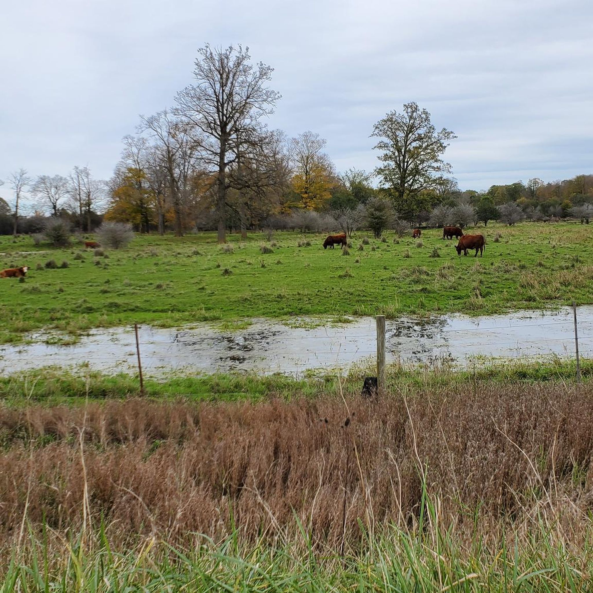
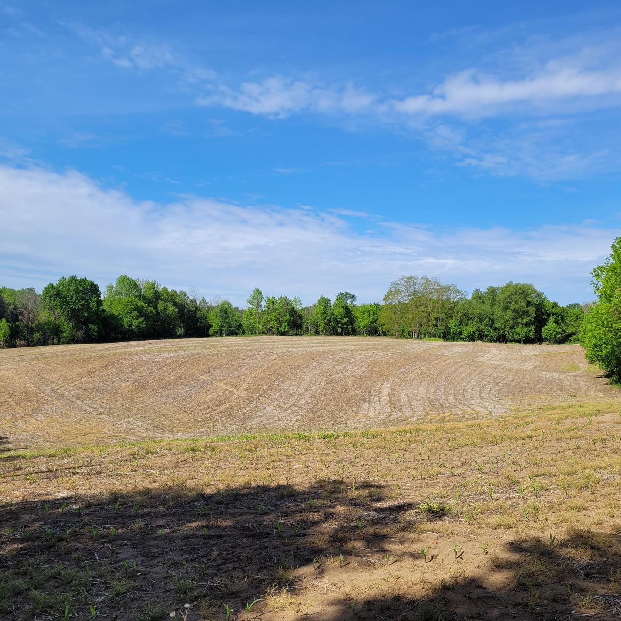
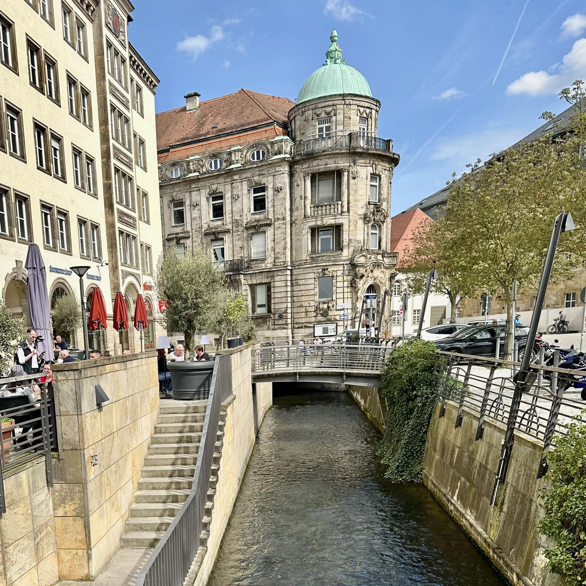
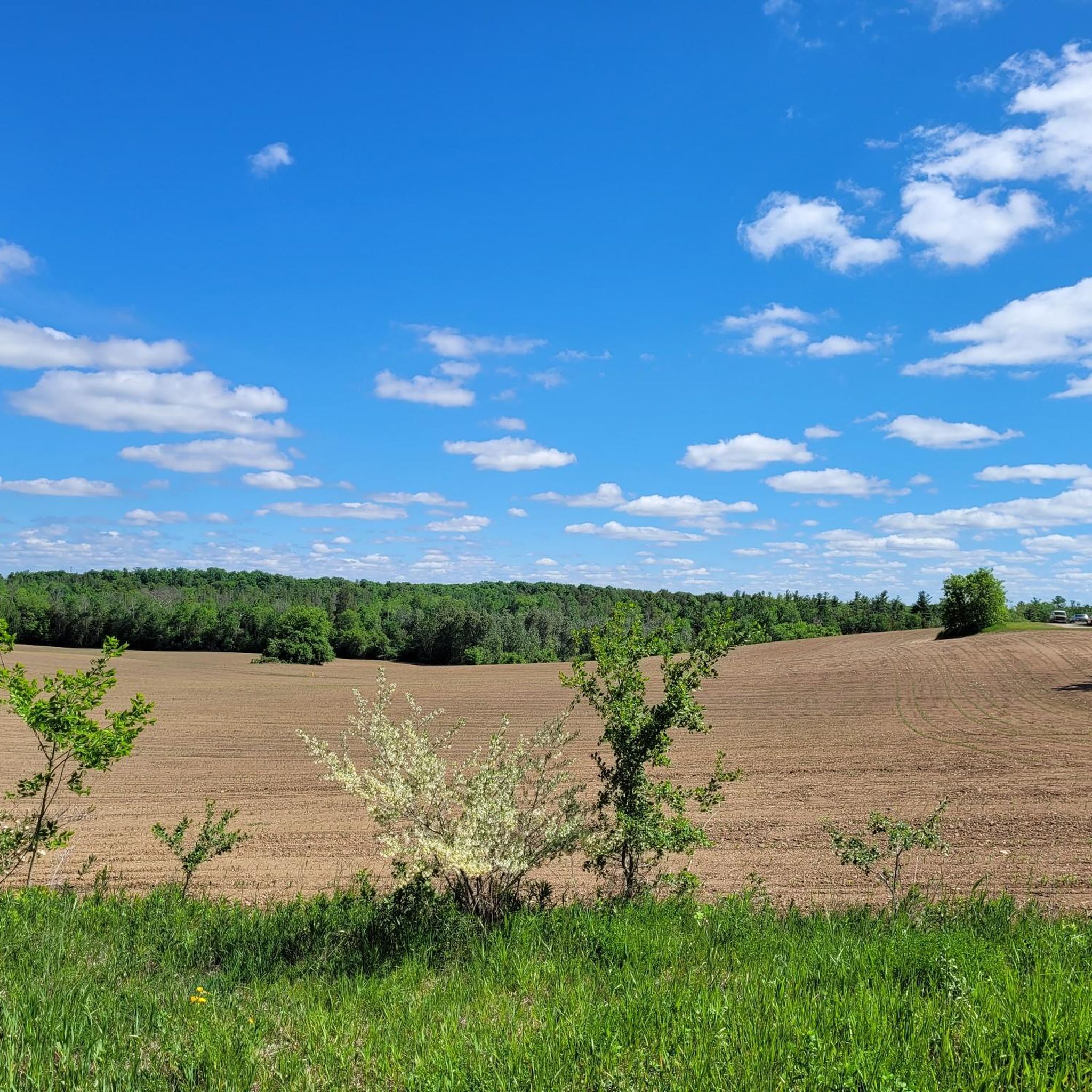

Tips from the Community

This lovely urban park is famous for its dense, mature trees that make you feel like you are deep in a grand forest. A gentle creek winds its way through the woods, and you can listen to the soothing sound of bubbling water as you cross over small wooden footbridges.
0
0
This trail features a lovely loop that is roughly two kilometers long. It consists of flat, well-maintained gravel paths, making it a perfect destination for a relaxing morning stroll, a quick jog, or an easy bike ride.
1
0
The creek area features is a lovely natural swimming spot where you can cool off on hot summer days. The thick canopy of mature trees overhead provides plenty of cool shade as you watch for local wildlife, like birds and small mammals, that rely on the water.
0
0

Petersburg Bush is a peaceful, forested patch of land with a trail system that offers three different sized loops. You may hear horses and cows that roam free on neighbouring farmland. Sometimes the trails can be muddy after rain, but it's a quiet getaway and usually not a very busy area.
0
0
Crown Land Trail is an unpaved multi-use trail used for hiking and mountain biking in summer and cross-country in winter. Petersburg Bush is pretty flat with some rolling hills and has colour-coded signs posted on the trees for easy navigation.
0
0
Alder Creek is a small creek that winds through the eastern end of Petersburg Bush. The furthest stretch of the Crown Land Trail terminates when it meets the creek and creates a turnaround spot.
0
0

From here you'll have access to a multitude of trail like Upper Ities, Downtown, The 4 Ities, and A-Line. The are all multi-use trail with some features built for mountain bikers, so keep an eye out for your fellow trail users.
0
0
The West Side Trails are a collection of multi-use trails that run through the Columbia Forest on the west side of Waterloo. You'll find paved and natural surfaces with a little something for all abilitiy levels.
0
0
Frequently Asked Questions
How many hiking trails are available in the Wilmot area?
The Wilmot area offers a comprehensive network of trails, with komoot featuring over 30 routes. These range from easy strolls to more moderate hikes, providing diverse options for exploring the region's natural beauty.
What kind of terrain can I expect on Wilmot's hiking trails?
Wilmot's hiking trails traverse a varied landscape characterized by deciduous forests, rolling hills, wetlands, meadows, and ravines. You'll find paths winding through woodlands with maple, oak, and beech trees, alongside rivers and backroads, offering a rich rural experience.
Are there easy hiking trails suitable for beginners or casual walkers in Wilmot?
Yes, Wilmot has numerous easy trails. For instance, the Columbia Forest loop via Geo-Time Trail — Waterloo is an easy 4.4 km route that takes about 1 hour 10 minutes. Another great option is the Columbia Lake via Laurel Trail loop, an easy 4.1 km path offering scenic views.
Are there any longer or more challenging hikes in the Wilmot area?
While most trails are easy, there are moderate options for those seeking a longer hike. The Forest – Columbia Forest loop from Trillium Valley Park is a moderate 14.4 km trail, typically completed in about 3 hours 51 minutes, leading through dense forest. Another moderate option is the Trillium Valley Park loop from Resurrection Catholic Secondary School, an 8.2 km route.
What natural features or landmarks can I see along the hiking trails in Wilmot?
Wilmot's trails offer views of diverse natural features including deciduous forests, wetlands, and rivers. Specific highlights in the broader area include the Conestogo River Trails, the Grand River Trail, and Homer Watson Park, which provides beautiful forest scenery.
Are there circular hiking routes available in Wilmot?
Yes, many of Wilmot's trails are designed as loops, perfect for circular walks. Examples include the Columbia Forest loop via Geo-Time Trail — Waterloo and the Columbia Lake via Laurel Trail loop, both offering convenient circular paths.
Is Wilmot a good destination for family-friendly hikes?
Absolutely. With a significant number of easy trails, Wilmot is well-suited for family outings. Many routes are relatively short and have minimal elevation gain, making them enjoyable for all ages. The accessible sections of trails like the Schmidt Woods Trails also cater to families with strollers.
Are dogs allowed on the hiking trails in Wilmot?
Many trails in Wilmot Township are dog-friendly, allowing you to enjoy the outdoors with your canine companion. It's always recommended to keep dogs on a leash and adhere to local signage regarding pet regulations on specific trails.
What is the best time of year to go hiking in Wilmot?
Wilmot offers year-round recreational opportunities. Spring and fall provide vibrant colors and comfortable temperatures, ideal for hiking. The deciduous forests are particularly beautiful during autumn. Winter also allows for snowshoeing and Nordic skiing on some trails, transforming the landscape.
What do other hikers enjoy most about hiking in Wilmot?
The Wilmot area is highly rated by the komoot community, with an average score of 4.5 stars. Reviewers often praise the diverse natural landscapes, the extensive network of trails, and the peaceful, rural atmosphere that makes for an enjoyable outdoor experience.
Are there any trails in Wilmot that feature waterfalls?
While Wilmot's landscape includes rivers and ravines, specific prominent waterfalls are not a primary feature of the hiking trails mentioned in the immediate vicinity. The focus is more on the extensive forest networks and riverine environments.
Are there options for public transport access to Wilmot's trailheads?
Wilmot Township is primarily a rural area, so public transport options directly to all trailheads may be limited. It's advisable to check local transit schedules for routes that might serve the larger towns within the township, such as New Hamburg, and plan accordingly for the final approach to trail access points.
Where can I find parking for Wilmot's hiking trails?
Many trailheads in Wilmot offer designated parking areas. For example, Walker Woods in New Hamburg has parking available off Bonaventure Drive. The Schmidt Woods Trails extend from the Wilmot Recreation Complex, which typically has parking facilities. It's always best to check specific trail information for precise parking locations.
Most popular attractions around Wilmot

Get inspired with the komoot mobile app


Explore more
Browse the best Hikes in other regions.
