The best walks and hikes around Klivnik
3.8
(16)
34
hikers
5
hikes
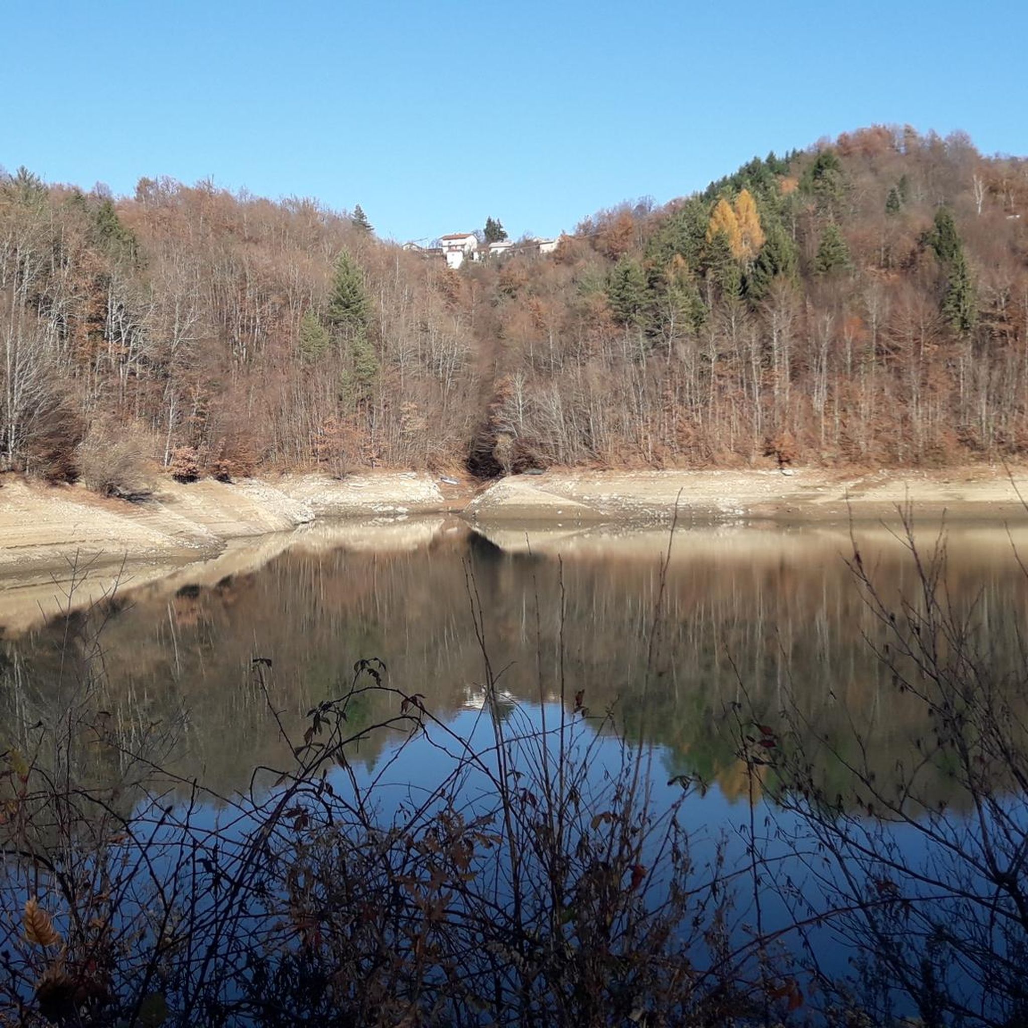
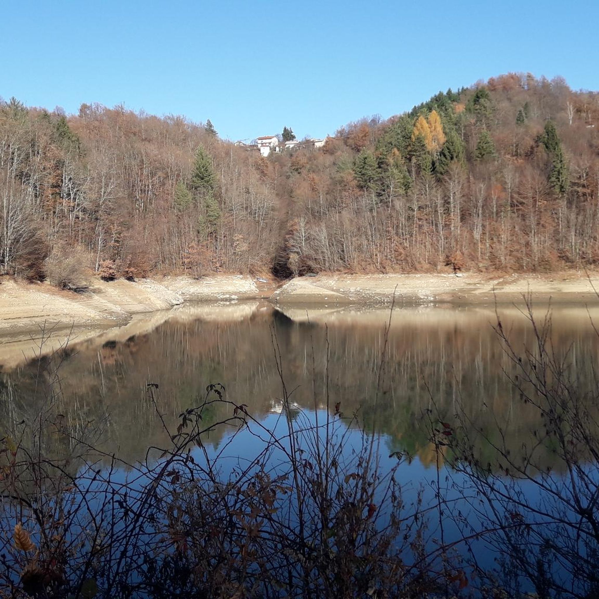
Hiking around Klivnik offers a blend of tranquil lakeside scenery and varied hilly terrain within the Brkini Hills. The region is centered around Lake Klivnik, a reservoir nestled amidst scenic hills near Ilirska Bistrica. This area provides a natural backdrop for exploration, with diverse topography suitable for various hiking experiences. The landscape features rolling hills and natural attractions like waterfalls.
Best hiking trails around Klivnik
- The most popular hiking route is Village by the River – Sušec Waterfall loop from…
Last updated: May 20, 2026
3.0
(2)
6
hikers
6.57km
02:05
250m
250m
Moderate hike. Good fitness required. Easily-accessible paths. Suitable for all skill levels.
3
hikers
Moderate hike. Good fitness required. Easily-accessible paths. Suitable for all skill levels.

Sign up for free
4.9
(8)
12
hikers
4.78km
01:23
130m
130m
Easy hike. Great for any fitness level. Easily-accessible paths. Suitable for all skill levels.
3.5
(4)
10
hikers
10.1km
02:49
200m
200m
Moderate hike. Good fitness required. Easily-accessible paths. Suitable for all skill levels.
4.0
(2)
3
hikers
9.59km
02:42
200m
200m
Moderate hike. Good fitness required. Easily-accessible paths. Suitable for all skill levels.
Our route recommendations are based on thousands of hikes, rides, and runs completed by other people on komoot.
Start today with a free account
Your next adventure awaits.
Login or Signup

Tips from the Community

Heart path The length of the trail is 4,700 m Total ascents: 140 m Duration: 1 hour and 10 minutes The route is marked with nice signs on six wooden pillars. Srčkovo pot was arranged by the Coronary Society Ilriska Bistrica. The association organizes a hike along the Srčkova pot every first Sunday of the month at 2 pm in front of the log cabin in Črni njive.
1
0

After a plentiful rainfall, the waterfall shows in all its glory, but it dries up in just a few days when the rain stops. Since it is dry most of the time, the waterfall has the name "Sušec" (comes from the Slovenian word "suša", meaning drought / drought). Recordings can be found on YouTube, Ilirska Bistrica - slap Sušec.
0
0
Frequently Asked Questions
What kind of terrain can I expect when hiking around Klivnik?
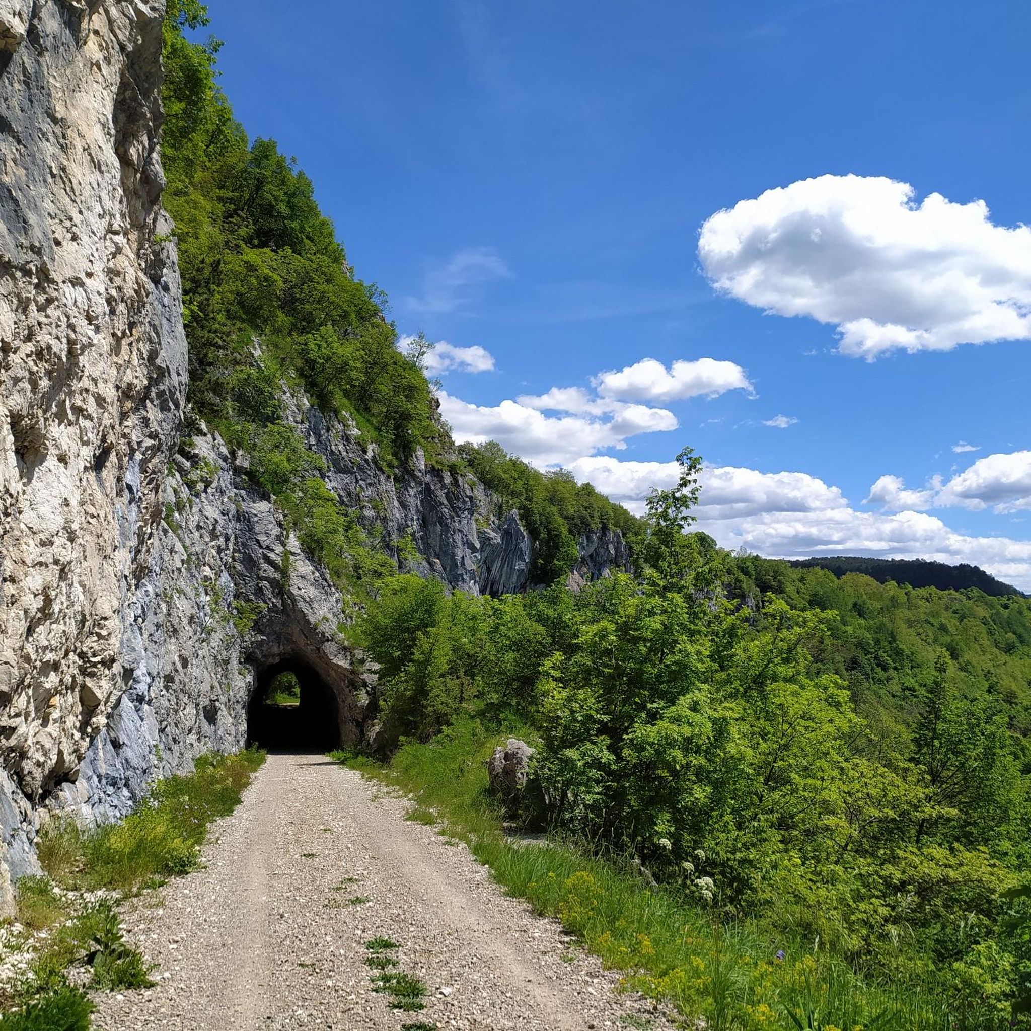
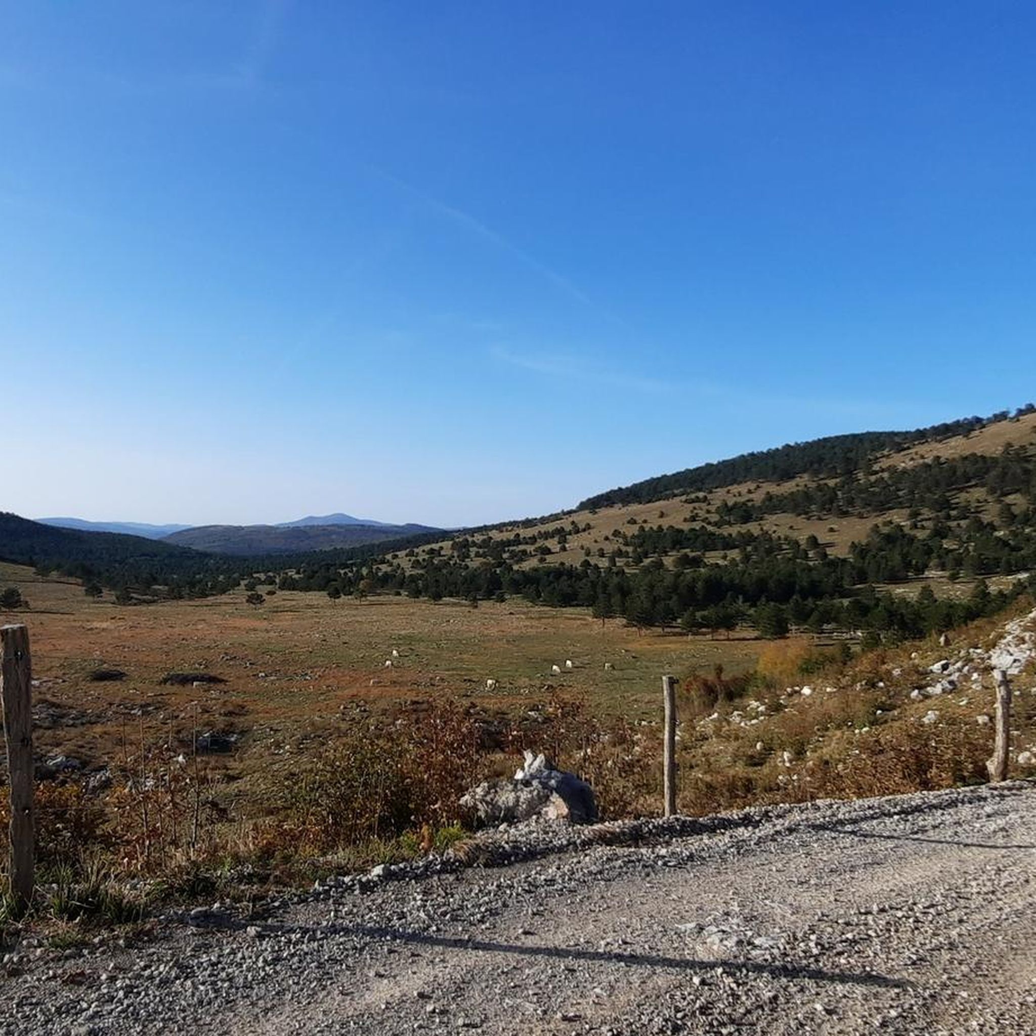
The hiking trails around Klivnik offer a diverse landscape, primarily characterized by the rolling Brkini Hills and tranquil lakeside scenery around Lake Klivnik. You'll find a mix of paths suitable for various fitness levels, from easier walks with gentle elevation changes to moderate treks through more varied hilly terrain.
Are there any waterfalls or notable natural features to see on the trails?
Yes, the area features the picturesque Sušec Waterfall, which is a highlight on some routes. For example, the Village by the River – Sušec Waterfall loop from Ilirska Bistrica specifically includes this natural attraction, adding to the scenic rewards of your hike.
Are there family-friendly hiking options in Klivnik?
Absolutely. Klivnik offers several routes suitable for families. The natural surroundings and diverse trails cater to both casual walkers and those looking for a gentle adventure. An easy option is the Heart Trail loop from Ilirska Bistrica, which is 4.78 km long and can be completed in about 1 hour 23 minutes.
Are there circular hiking routes available around Klivnik?
Many of the trails around Klivnik are designed as loops, allowing you to start and end at the same point. Examples include the Church with Cemetery – Village by the River loop from Ilirska Bistrica, which is 8.20 km, and the longer Heart Trail – Srčkova Trail and Cycling Path loop from Ilirska Bistrica, covering 10.07 km.
What is the best time of year to go hiking in Klivnik?
While specific seasonal recommendations aren't provided, the region's diverse nature and tranquil lakeside setting suggest that spring and autumn would be ideal for hiking, offering pleasant temperatures and vibrant scenery. Summer also provides good conditions for exploring the trails and enjoying the natural beauty.
What do other hikers say about the trails in Klivnik?
The komoot community highly rates the trails around Klivnik, with an average score of 3.8 stars from over 15 reviews. Hikers often praise the tranquil lakeside scenery, rolling hills, and the variety of routes that cater to different ability levels.
Are there any longer hiking routes for more experienced hikers?
For those seeking a longer trek, the Heart Trail – Srčkova Trail and Cycling Path loop from Ilirska Bistrica offers a moderate challenge. This route spans 9.58 km with an elevation gain of approximately 196 meters, typically taking around 2 hours 41 minutes to complete.
What kind of wildlife might I encounter while hiking in Klivnik?
The Brkini Hills and Lake Klivnik area are rich in diverse nature. While specific wildlife sightings are not guaranteed, you can expect to observe various bird species, and potentially smaller mammals typical of a hilly, forested, and lakeside environment. The lake itself is known for sport fishing, with species like trout and zander.
Are there options for shorter, easier walks around Klivnik?
Yes, if you're looking for a shorter and less strenuous option, the Heart Trail loop from Ilirska Bistrica is an easy 4.78 km path. It's perfect for a leisurely stroll and can be completed in about 1 hour 23 minutes.
How many hiking routes are available in the Klivnik area?
There are 5 distinct hiking routes documented in the Klivnik area, ranging from easy to moderate difficulty, offering various distances and elevations to explore the region's natural beauty.
Is the area suitable for photography?
Yes, the Klivnik area is highly suitable for photography. With its picturesque Lake Klivnik, the rolling Brkini Hills, and natural features like the Sušec Waterfall, there are ample opportunities to capture beautiful natural landscapes and scenic views.

Get inspired with the komoot mobile app


Explore more
Browse the best Hikes in other regions.
