The best walks and hikes around Kingston
4.4
(28)
483
hikers
31
hikes
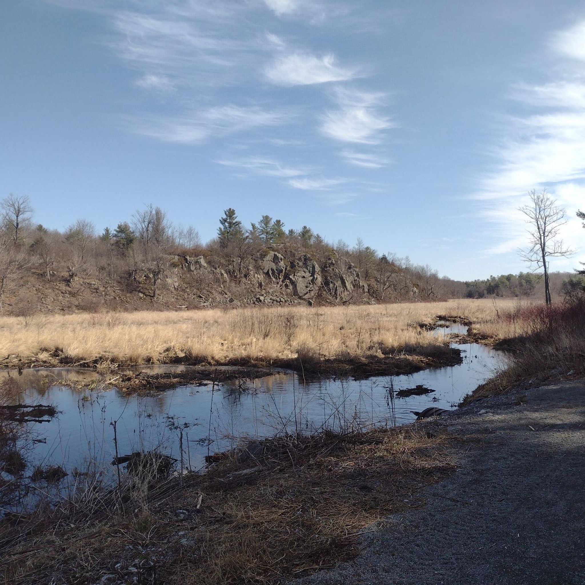
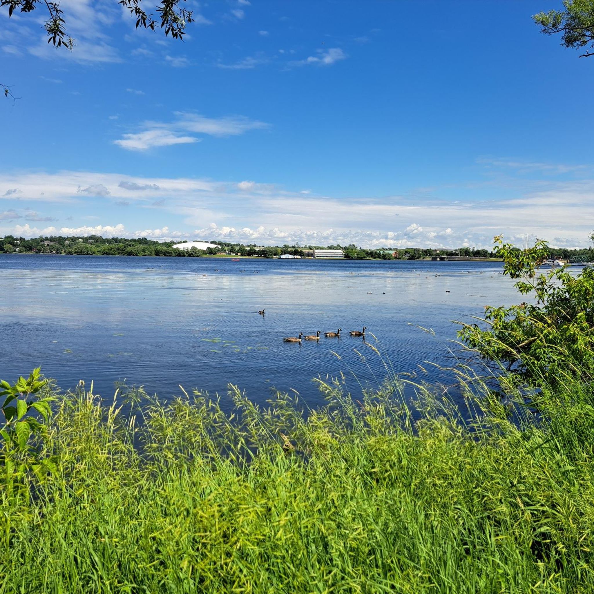
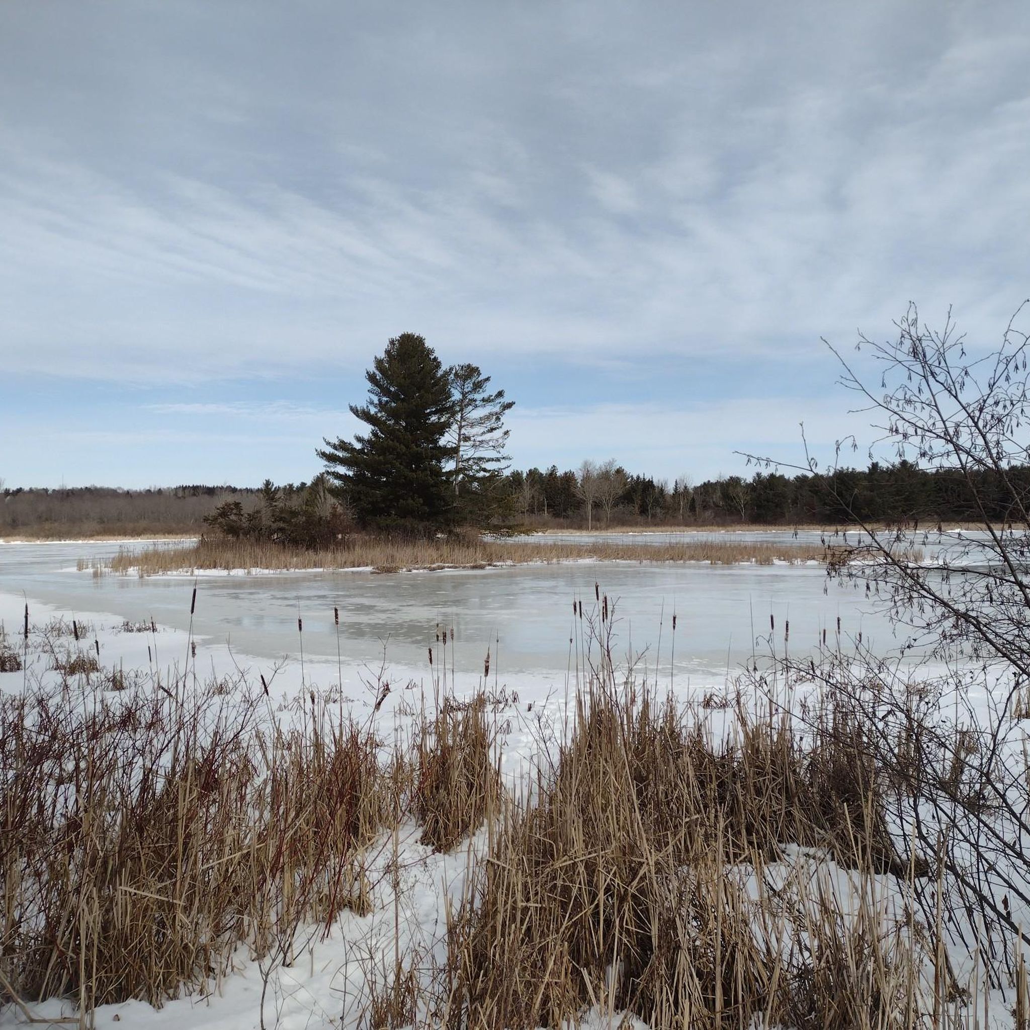
Hiking around Kingston offers diverse natural landscapes, characterized by its location at the confluence of Lake Ontario and the St. Lawrence River. The region features lush woodlands, scenic waterfronts, and wetlands, with the Frontenac Arch and Canadian Shield providing more rugged terrain to the north. These varied environments create a range of hiking experiences for different preferences.
Best hiking trails around Kingston
- The most popular hiking route is K&P Trail – Kingston, a 9.6 miles (15.4 km) trail that takes 4 hours to complete. This multi-use path offers accessible recreation from various points in Kingston.
- Another top favourite among local hikers is Red Oak Plantation loop from Kingston Norman Rogers Airport, a moderate 5.0 miles (8.0 km) path. This route leads through forested areas, providing a natural escape.
- Local hikers also love the Martello Tower at Fort Henry – Bike and Canoe Rentals loop from Kingston, a 3.1 miles (5.0 km) trail leading through waterfront areas and historical landmarks, often completed in about 1 hour 17 minutes.
- Hiking around Kingston is defined by its scenic waterfronts, lush woodlands, and diverse wetland habitats, with the rugged Canadian Shield terrain to the north. The network offers options for different ability levels, from easy strolls to more challenging treks.
- The routes in Kingston are highly rated by the komoot community with an average score of 4.2 stars from over 17 reviews. More than 287 hikers have used komoot to explore Kingston's varied terrain.
Last updated: November 9, 2026
2
hikers
15.4km
04:00
90m
90m
Moderate hike. Good fitness required. Easily walkable paths.
3
hikers
4.33km
01:06
10m
10m
Easy hike. Easily walkable paths.

4.23km
01:05
10m
10m
Easy hike. Easily walkable paths.
2
hikers
3.00km
00:48
30m
30m
Easy hike. Easily walkable paths.
28.7km
07:22
120m
120m
Hard hike. Very good fitness required. Easily walkable paths.
Get access to more routes and recommendations from other explorers.
Already have an account?
Our route recommendations are based on thousands of hikes, rides, and runs completed by other people on komoot.
Start today with a free account
Your next adventure awaits.
Other adventures around Kingston

Tips from the Community

Canadian Forces Base Kingston sits just east of downtown and has long been one of the city’s major military centres. Today, the base supports dozens of Canadian Armed Forces units and training schools, including communications, intelligence and army training organizations. You won’t be wandering through the base itself, but it’s an interesting landmark to pass, especially given how closely Kingston’s history is tied to Canada’s military.
0
0
The Highway 15 multi-use path gives you a straightforward paved link through Kingston’s east end, connecting Greenwood Park with the wider active transportation network. It runs beside the road, so this stretch feels more urban than the park itself, but the separated path makes it easy to keep moving without mixing directly with traffic. Watch for driveways and road crossings where the path briefly meets vehicles.
0
0
Greenwood Park is a spacious neighbourhood park in Kingston’s east end, with open grassy areas, paved paths and greener pockets around Butternut Creek. The creekside section is especially nice for a quieter wander away from the surrounding streets, while the wider park has plenty of room to spread out. It’s a nice place to stop for a break or simply enjoy a bit of green space close to the neighbourhood.
0
0

Stretching along the shore of Lake Ontario, the Rideau Trail is a multi-use path ideal for walking or cycling beside the open water. The trail connects directly to downtown Kingston, linking you to local historic sights, nearby Martello towers, and multiple lakeside parks.
0
0
This small park offers a beautiful green space that has been reclaimed from the former industrial site that sat here previously. For many years large grain elevators stood here for the busy shipping network that moved up to 25 million bushels of grain per year through Kingston. These days it's a great place to go for a short walk and enjoy the lake views and well tended gardens.
0
0
This lakeside park was first designated in 1894 and features playgrounds, picnic areas, walking paths, and lake access. The park was refurbished in 2013 and reopened with updated play structure, beach volleyball court, washrooms, and a natural ice skating rink that's open during winter.
0
0

The Cataraqui River forms the lower portion of the Rideau Canal and drains into Lake Ontario at Kingston. Along Belle Island, the river is surrounded by wetlands and marshland, creating a rich corridor for wildlife and a picturesque backdrop for the trail. The river gets its name from the original Indigenous name for Kingston, Katarokwi, whose meaning remains debated, with interpretations ranging from “great meeting place” to “clay bank rising out of the water.”
0
0
Belle Island is a beautiful forested 44-hectare island in the Cataraqui River, north of downtown Kingston, and is a popular destination for hiking, birdwatching, picnicking, mountain biking, and cross-country skiing in winter. It sits within the Mixedwood Plains Ecozone and supports a wide variety of wildlife, including bald eagles, osprey, great blue herons, river otters, and beaver. The island also holds deep historical significance, with evidence of Indigenous use dating to the Middle Woodland period and a burial ground discovered here in 1988.
0
0
Frequently Asked Questions
What types of landscapes can I expect to see while hiking around Kingston?
Kingston offers a diverse range of landscapes for hikers. You'll find scenic waterfronts along Lake Ontario and the St. Lawrence River, lush woodlands, and diverse wetland habitats. To the north, the Frontenac Arch and Canadian Shield provide more rugged terrain with forested areas and numerous lakes, characteristic of a UNESCO Biosphere Region.
Are there many easy hiking trails suitable for beginners or casual walkers in Kingston?
Yes, Kingston has plenty of easy hiking options. Out of nearly 30 routes available, 19 are rated as easy. For example, the Confederation Park – Martello Tower at Fort Henry loop from Kingston is an easy 6.6 km trail, and the Hiking loop from Little Cataraqui Creek Conservation Area offers a gentle 6 km experience through woodlands and marshlands.
What are some popular conservation areas or parks for hiking near Kingston?
Several conservation areas and parks offer excellent hiking. Frontenac Provincial Park, part of the Canadian Shield, features over 100 km of interconnected loop trails. Closer to the city, Lemoine Point Conservation Area provides 11 km of trails along Lake Ontario, while Little Cataraqui Creek Conservation Area spans nearly 1000 acres with trails through woodlands and wetlands. Gould Lake Conservation Area also offers over 20 kilometers of rugged trails.
Are there any trails with good viewpoints or scenic lookouts in the Kingston area?
Absolutely. The region is known for its scenic views. Rock Dunder Conservation Area offers three trails, with the Summit Loop providing panoramic views of the Rideau Waterway. Many trails along Lake Ontario and the St. Lawrence River, such as those in Lemoine Point Conservation Area, also feature scenic lookouts and waterfront vistas. You can also explore Rock Dunder Conservation Area for stunning perspectives.
Can I bring my dog on the hiking trails around Kingston?
Many trails in the Kingston area are dog-friendly, though leash rules and specific restrictions may apply in certain conservation areas or parks. It's always best to check the specific regulations for the park or trail you plan to visit beforehand to ensure a pleasant experience for you and your pet.
Are there any family-friendly hiking options or accessible nature walks in Kingston?
Yes, Kingston offers several family-friendly and accessible options. Conservation areas like Little Cataraqui Creek and Marshlands often feature boardwalks, making them suitable for various fitness levels and strollers. The K&P Trail – Kingston is a multi-use path that is generally accessible and great for families. Frontenac Provincial Park also has the easy 1.5 km Arab Lake Gorge Trail.
What kind of wildlife can I expect to see on the trails?
Kingston's diverse habitats support a variety of wildlife. In wetland areas like Little Cataraqui Creek and Marshlands Conservation Areas, you might spot beavers, turtles, ducks, and numerous bird species. Woodlands and waterfronts are home to various birds, squirrels, and chipmunks. Osprey nesting platforms can be found in areas like Parrott's Bay Conservation Area.
Are there any historical landmarks or points of interest along the hiking routes?
Yes, Kingston is rich in history. The Martello Tower at Fort Henry – Bike and Canoe Rentals loop from Kingston leads through waterfront areas and historical landmarks. You can also find highlights such as the Loyalist Landing at Cataraqui — Historical Plaque and the iconic Kingston City Hall near some routes.
What is the best time of year to go hiking in Kingston?
The best time for hiking in Kingston largely depends on your preference. Spring and fall offer pleasant temperatures and beautiful scenery, with vibrant foliage in autumn. Summer is ideal for enjoying waterfront trails and combining hikes with water activities. Winter hiking is also possible, especially on well-maintained trails, offering a different, serene experience.
Are there any circular hiking routes available in the Kingston area?
Yes, many trails in Kingston are designed as loops or offer circular options. For instance, the Red Oak Plantation loop from Kingston Norman Rogers Airport is a moderate 8 km circular path through forested areas. Frontenac Provincial Park is also known for its extensive network of interconnected loop trails.
What do other hikers say about the trails in Kingston?
The hiking routes in Kingston are highly rated by the komoot community, with an average score of 4.2 stars from over 17 reviews. Hikers often praise the diverse natural landscapes, from serene waterfronts to rugged woodlands, and appreciate the variety of options suitable for different skill levels.
Where can I find information about parking or public transport access to trailheads?
Parking availability varies by trailhead. Many conservation areas and parks, such as Lemoine Point and Little Cataraqui Creek, have dedicated parking lots. For public transport, the multi-use K&P Trail – Kingston is accessible from various points within the city. It's advisable to check the specific park or conservation area's website for detailed access and parking information before your visit.
Most popular attractions around Kingston

Get inspired with the komoot mobile app


Explore more
Browse the best Hikes in other regions.
