The best road cycling routes around Pontiac
4.4
(12)
390
riders
9
rides
Road cycling routes around Pontiac traverse a landscape shaped by glacial moraines, featuring rolling hills, dense woodlands, and a mix of marshes, ponds, and lakes. The region's natural features, including the expansive Pontiac Lake Recreation Area, offer varied terrain for road cyclists. While some trails are crushed gravel, many paved paths and roadways provide dedicated cycling opportunities. The area's network of routes caters to different skill levels, from easy loops to more challenging ascents.
Best road cycling routes around Pontiac
…Last updated: October 5, 2026
61
riders
62.4km
02:58
730m
730m
Moderate road ride. Good fitness required. Some segments of this route may be unpaved and difficult to ride.
35
riders
37.3km
01:30
110m
110m
Moderate road ride. Great for any fitness level. Some segments of this route may be unpaved and difficult to ride.

27
riders
Moderate road ride. Great for any fitness level. Some segments of this route may be unpaved and difficult to ride.
11
riders
Hard road ride. Very good fitness required. Some segments of this route may be unpaved and difficult to ride.
10
riders
46.7km
02:21
630m
630m
Moderate road ride. Good fitness required. Some segments of this route may be unpaved and difficult to ride.
Get access to more routes and recommendations from other explorers.
Already have an account?
Our route recommendations are based on thousands of hikes, rides, and runs completed by other people on komoot.
Start today with a free account
Your next adventure awaits.
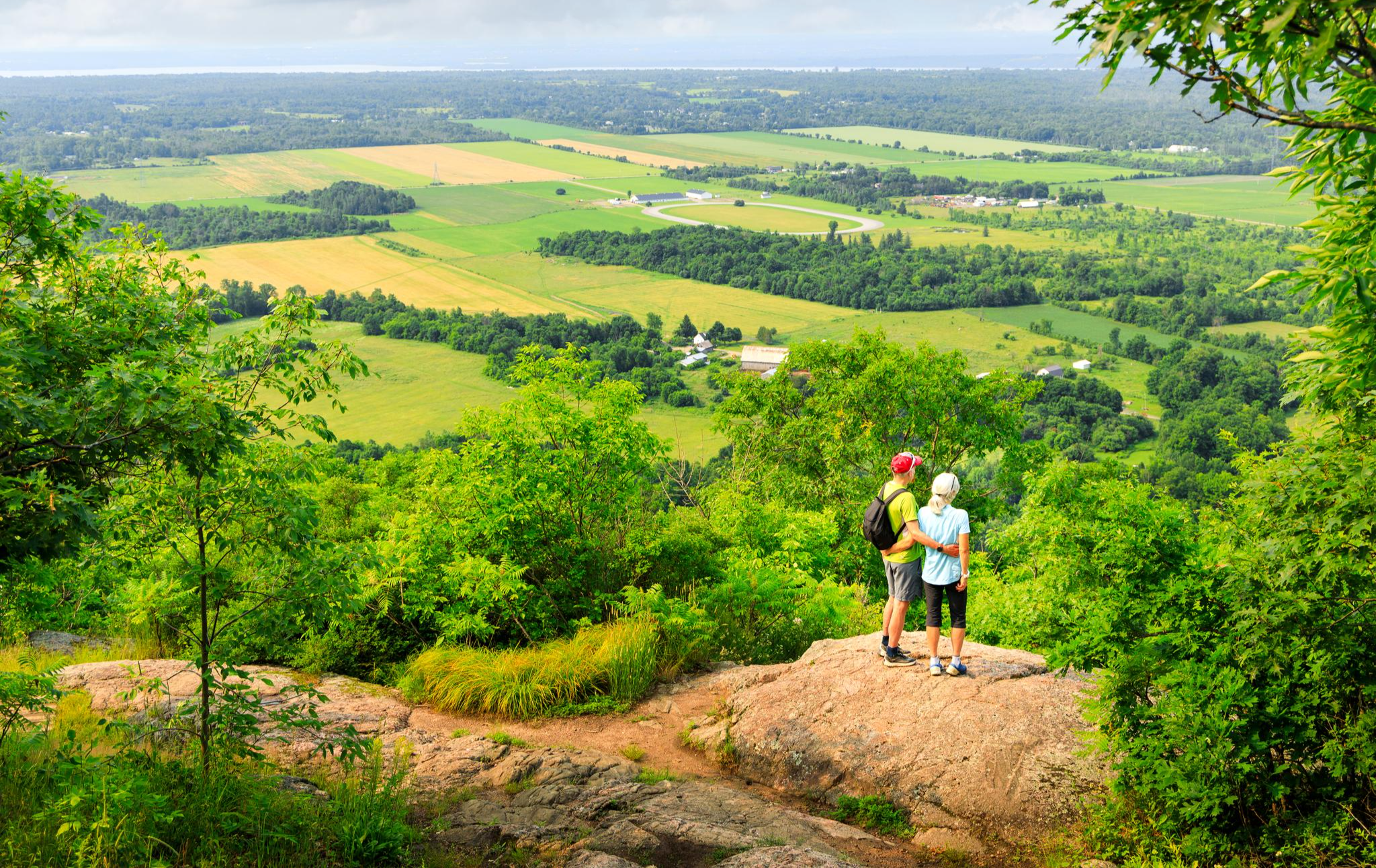
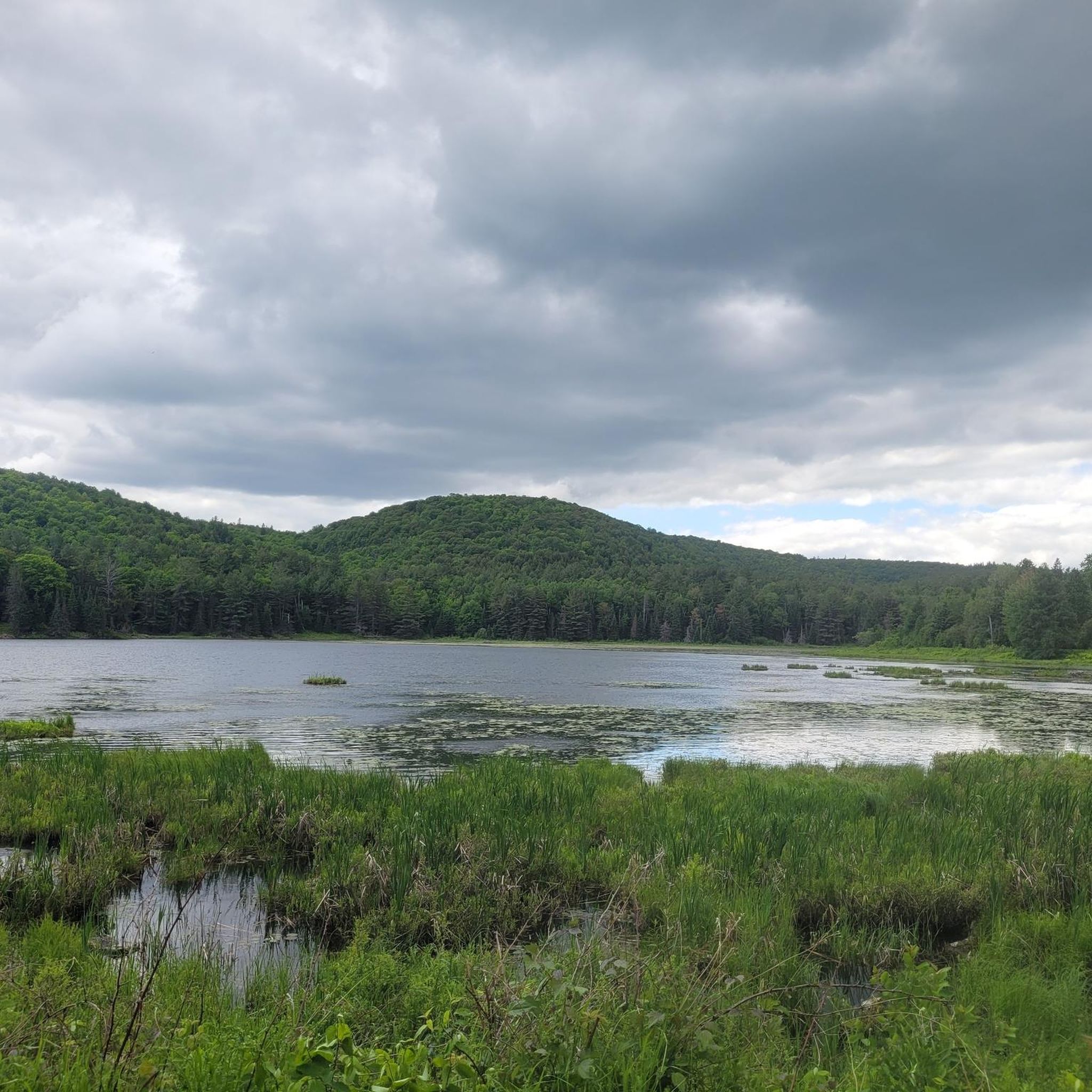
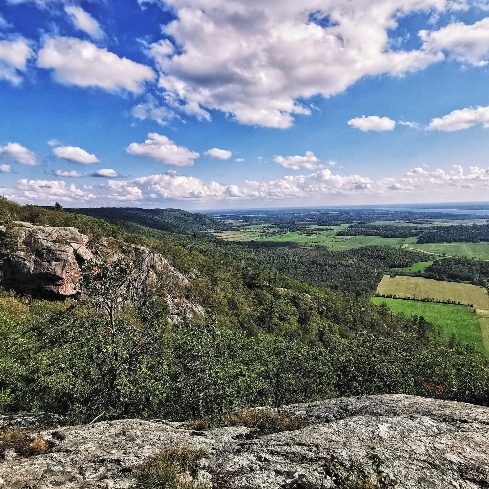
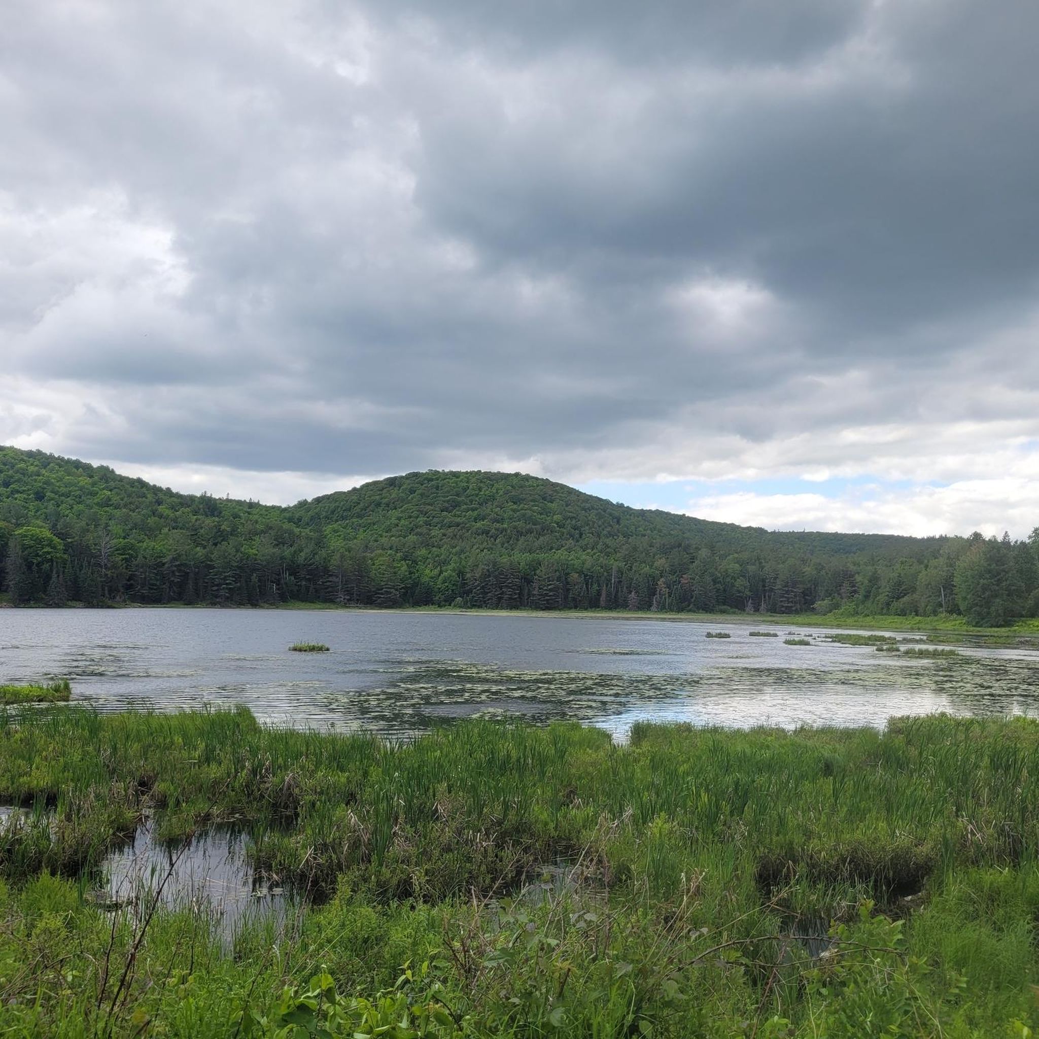

Other adventures around Pontiac

Tips from the Community

This community park has sports fields, playgrounds, and tree-lined paths. It's a great option for families who have diverse interests as there is a little something here for everyone.
0
0
Centrepointe Park is a large park with a wide range of facilities. There are pathways that loop through lawns and trees, and connect to nearby neighbourhood routes. Families love the playgrounds, while the sports fields and courts keep the park lively with pickup games and practices, making it a great outdoor destination for the whole community.
0
0

Voie Verte Chelsea is a relatively flat gravel multi-use trail that follows a former railway corridor along the Gatineau River. Stretching roughly 22 kilometres, it’s a picturesque and popular route for walking, cycling and running, with beautiful views of the river, and is a great way to connect to neighbourhoods and community destinations across the municipality.
0
0

Watt's Creek Pathway follows Watt's Creek and is open to hiking, running, and biking. It's fully paved and easy to access with a stroller or wheelchair, as there is only a 0-5% grade, except for a roughly 10% grade near Carling Avenue. This trail passes over Watt's Creek a few times, through forests and into open grassy areas.
0
0
This small bridge crosses Watt's Creek and gives hikers and bikers a good look down onto the dark, slow-moving waters. This creek flows for about 10 kilometres through urban Kanata.
0
0
Wesley Clover Parks spans an impressive 200 hectares and is home to an equestrian centre, sport fields, a campground, and an education centre. The park has both public restrooms and water fountains.
0
0

Attention as it is always flooded in places on this trail.
0
0
Britannia Park is a spacious waterfront area where the Ottawa River broadens into a sweeping expanse. The park includes a sandy beach, open green space, and paved pathways that meander along the riverbank. With its open, breezy setting, the park offers breathtaking views of the river and plenty of space for a variety of recreational activities along the river.
0
0
Frequently Asked Questions
How many road cycling routes are available around Pontiac?
There are currently 10 road cycling routes around Pontiac listed on komoot, offering a variety of experiences for different skill levels.
What kind of terrain can I expect on road cycling routes in Pontiac?
Road cycling routes around Pontiac feature a diverse landscape shaped by glacial moraines. You can expect rolling hills, dense woodlands, and scenic views of marshes, ponds, and lakes. While some dedicated paths are paved, others, like the popular Paint Creek Trail, are well-maintained crushed gravel, suitable for most road bike tires.
Are there any easy or family-friendly road cycling routes in Pontiac?
Yes, there are routes suitable for beginners and families. For instance, the Valiants Memorial – ByWard Market loop from Du Plateau/d'Amsterdam is an easy 28.2-mile path with a relatively flat profile. The West Bloomfield Trail, a 6.8-mile paved path, also offers a pleasant, accessible ride through nature.
Are there challenging road cycling routes with significant climbs in Pontiac?
For those seeking a challenge, Pontiac offers routes with substantial climbs. The Lake Mulvihill – King Mountain Descent loop from Sainte-Cécile-de-Masham is a difficult 58.7-mile trail leading through a challenging landscape with significant elevation gain, often taking over 4 hours to complete.
What are some scenic highlights or landmarks I can see while road cycling in Pontiac?
The region boasts numerous scenic spots. You might encounter views of the 600-acre Pontiac Lake, the Clinton River, or Woodpecker Lake. Specific highlights include the Pink Lake Lookout and Champlain Lookout, offering stunning vistas. The West Bloomfield Trail also features the Heron Rookery Outlook, a great spot for birdwatching.
Are there any waterfalls along the road cycling routes in Pontiac?
While not directly on every route, the region does feature natural attractions like the Waterfall Near McKenzie King Estate, which can be explored as a side trip or incorporated into a longer ride.
What do other road cyclists enjoy the most about road cycling in Pontiac?
The area is highly rated by the komoot community, with an average score of 4.6 stars from over 10 reviews. Reviewers often praise the varied terrain, from rolling hills to scenic lake views, and the network of routes that cater to different ability levels.
Are there any loop routes available for road cycling in Pontiac?
Yes, many routes in Pontiac are designed as loops, allowing you to start and end at the same point. A popular example is the Wakefield Covered Bridge – Wakefield Covered Bridge loop from Wakefield, a moderate 37.7-mile trail.
What is the best time of year for road cycling in Pontiac?
The spring, summer, and fall months generally offer the most pleasant conditions for road cycling in Pontiac, with milder temperatures and vibrant natural scenery. Always check local weather forecasts before heading out.
Are there specific trails known for their natural beauty in Pontiac?
Absolutely. The West Bloomfield Trail offers beautiful lake views and abundant wildlife, while the Paint Creek Trail winds through natural scenery. The Pontiac Lake Recreation Area itself, with its marshes, ponds, forests, and lakes, provides a stunning backdrop for many routes.
Where can I find parking for road cycling trails in Pontiac?
Many popular trails and recreation areas in Pontiac, such as the West Bloomfield Trail and Paint Creek Trail, offer designated parking facilities. It's advisable to check specific trailheads or park websites for detailed parking information before your ride.
Most popular attractions around Pontiac

Get inspired with the komoot mobile app


Explore more
Browse the best Road cycling routes in other regions.
