The best cycling routes around Tay Valley
5.0
(2)
19
riders
3
rides
Tay Valley Ontario popular cycling trails routes traverse a landscape characterized by numerous lakes and rivers, including the scenic Tay River. The region features forested areas and Canadian Shield formations, offering varied terrain for touring cyclists. Gently undulating hills and well-maintained trails provide diverse options for exploration. This area is known for its natural beauty and extensive trail network, making it suitable for different cycling preferences.
Best touring cycling routes around Tay Valley
- The most popular touring cycling route is…
Last updated: June 28, 2026
5.0
(1)
8
riders
Moderate bike ride. Good fitness required. Mostly paved surfaces. Suitable for all skill levels.
5.0
(1)
7
riders
37.7km
02:27
230m
230m
Moderate bike ride. Good fitness required. Mostly paved surfaces. Suitable for all skill levels.

Sign up for free
4
riders
56.3km
04:54
370m
370m
Moderate bike ride. Good fitness required. Mostly paved surfaces. Suitable for all skill levels.
Our route recommendations are based on thousands of hikes, rides, and runs completed by other people on komoot.
Start today with a free account
Your next adventure awaits.
Login or Signup
Popular around Tay Valley

Tips from the Community

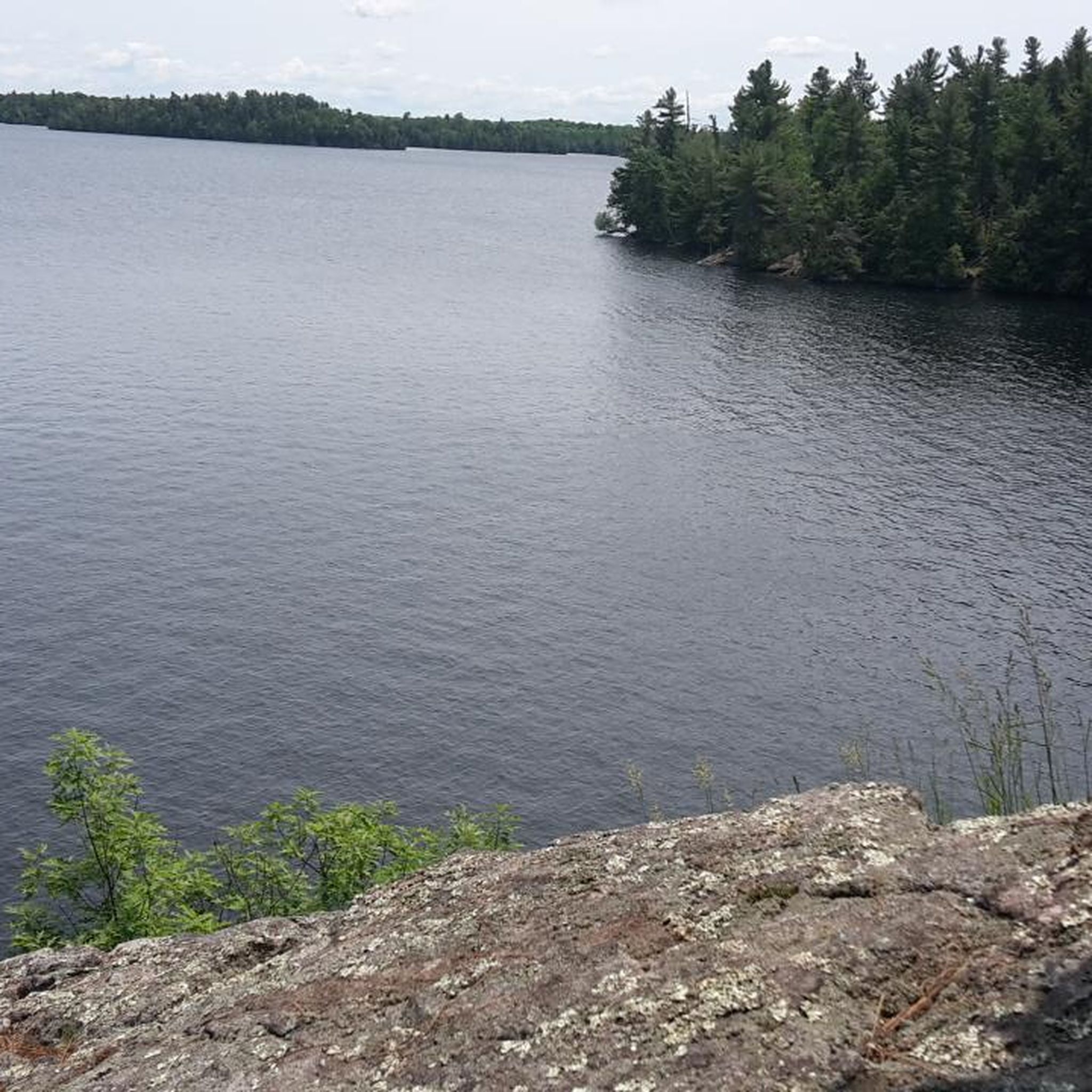
Spy Rock is a scenic viewpoint accessible via a short boardwalk, making for smooth travel. The edge of the viewpoint is roped off, so please respect the ropes and stay behind them while enjoying views of the Main Street Bridge, which separates Westport Pond to the west and Mulvilles Bay to the east, with the small settlement of Westport sitting right in between.
0
0

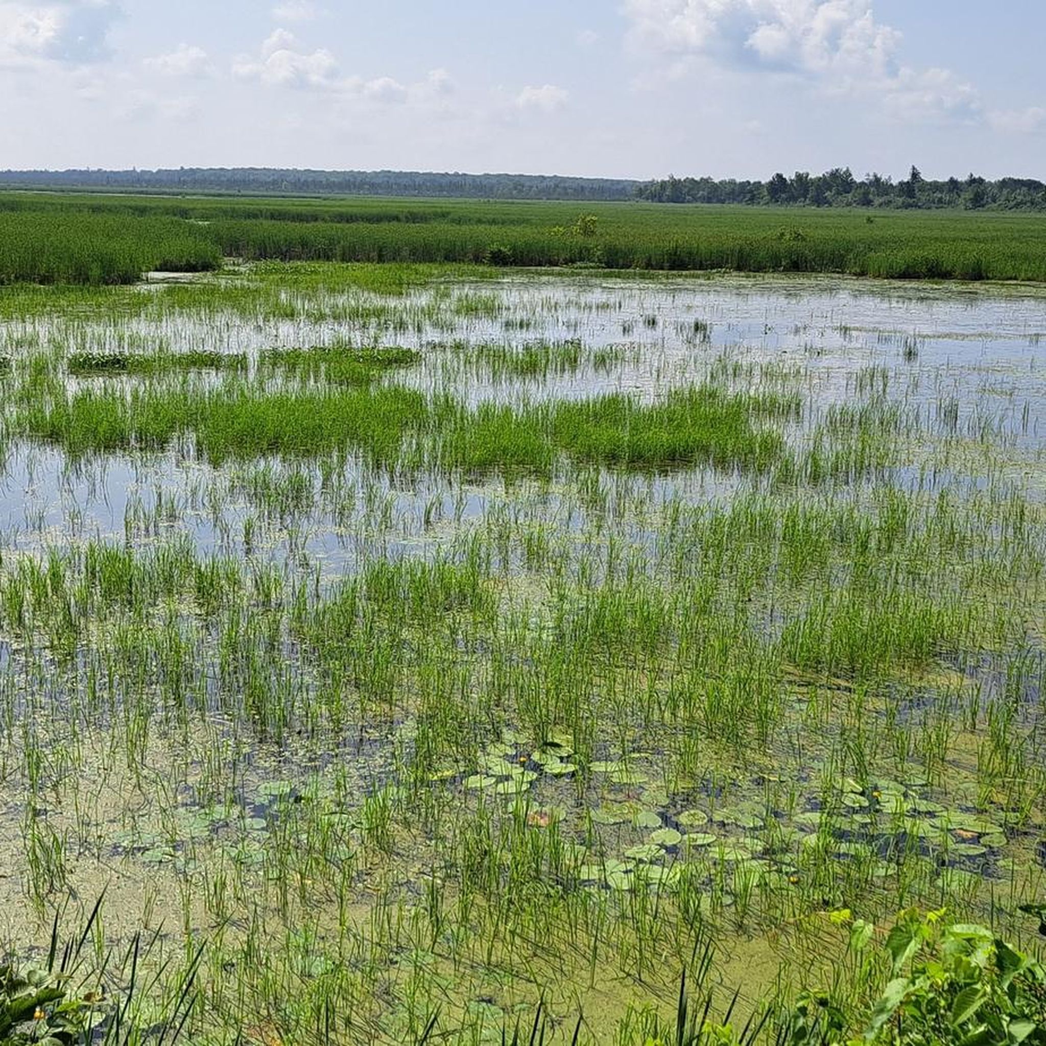
There used to be one lake, but Colonel By decided to raise the water level on Westport side to make construction of the canal to Newborough easier. It's a busy spot. Washrooms and picnic tables.
0
0
Colonel By added a lock here separating Big Rideau Lake from Upper Rideau Lake to raise the level of Upper Rideau Lake. This allowed him to reduce the cost of building the canal to Newboro Lake. The washrooms and picnic area are open during the boating season only (roughly from Victoria Day to Thanksgiving).
0
0
Frequently Asked Questions
How many touring cycling routes are available in Tay Valley?
Tay Valley offers a selection of touring cycling routes, with 3 distinct paths currently featured. These routes are highly rated by the komoot community, indicating a positive experience for cyclists exploring the area.
What kind of terrain can I expect on touring cycling routes in Tay Valley?
The terrain in Tay Valley is diverse, characterized by numerous lakes and rivers, extensive forested areas, and Canadian Shield landscapes. You'll encounter gently undulating hills and well-maintained trails, offering varied experiences from moderate paths to longer routes. Trails like the Tay Havelock Trail follow abandoned rail beds, providing relatively flat sections, while areas within Murphys Point Provincial Park offer more rugged, scenic vistas.
Are there any family-friendly touring cycling options in Tay Valley?
While the featured touring routes are generally moderate in difficulty, Tay Valley offers accessible features that can be enjoyed by families. The Tay River Pathway is a 1.5 km loop trail that is accessible and passes through a red pine forest to a waterfront lookout. Additionally, the Forest Trail Park is designed for inclusive use with pathways suitable for smooth navigation, making it a good option for a leisurely family outing.
What are some notable landmarks or points of interest to see while cycling in Tay Valley?
Tay Valley is rich in natural beauty and historical sites. Along your rides, you might encounter the scenic Tay River, various lakes like Christie Lake and Bennett Lake, and forested areas. A significant historical landmark is the Narrows Lock Blockhouse, which is featured on some routes. The region also includes parts of Murphys Point Provincial Park, known for its Canadian Shield landscapes and scenic vistas.
Are there any circular touring cycling routes in Tay Valley?
Yes, all the featured touring cycling routes in Tay Valley are designed as loops, providing convenient circular journeys. For example, you can explore The Galley – Narrows Lock Blockhouse loop from Lombardy, a 66 km route, or the shorter Narrows Lock Blockhouse loop from Sunnyside Family Retreat at 37.7 km. Another option is the Sheridan Rapids – Cabin on Sugarbush Road loop from Hopetown, which is 56.3 km.
What is the best time of year to go touring cycling in Tay Valley?
Tay Valley offers appealing cycling conditions across multiple seasons. Spring and fall provide comfortable temperatures and beautiful scenery, with changing foliage in autumn. Summer is also popular, allowing enjoyment of the lakes and rivers, though it can be warmer. Winter conditions would typically involve snow and ice, making touring cycling less suitable on many trails, though some multi-use trails might be accessible for fat biking or other winter activities.
What do other touring cyclists enjoy most about cycling in Tay Valley?
The touring cycling routes in Tay Valley are highly rated by the komoot community, with an average score of 5.0 stars from 2 reviews. Cyclists often praise the scenic views of local waterways and countryside, the varied terrain, and the opportunity to explore forested areas and natural rapids. The well-maintained trails and the region's natural beauty contribute to a rewarding cycling experience.
Are there options for food and drink near the cycling routes in Tay Valley?
While specific cafes or pubs directly on every route are not detailed, the region has amenities to support visitors. For instance, The Sunflower Bake Shop is a highlight in the area, offering a place to refuel. Larger towns and communities within or near Tay Valley, such as Perth, would provide a wider range of dining options and accommodations.
Are there any trails that follow old rail beds in Tay Valley?
Yes, the Tay Havelock Trail is a prominent multi-use trail in Tay Valley that follows an abandoned rail bed. This 22-kilometer trail offers a relatively flat and scenic journey through the countryside, connecting with other trails for extended rides. It's an excellent option for touring cyclists looking for a smoother, less challenging gradient.
What is the typical difficulty level of touring cycling routes in Tay Valley?
The touring cycling routes currently featured in Tay Valley are all classified as moderate in difficulty. This means they are suitable for cyclists with some experience, offering a good balance of distance and elevation changes without being overly strenuous. The varied terrain, including gently undulating hills, contributes to this moderate classification.
Can I access these cycling routes using public transport or are they primarily car-accessible?
Information on specific public transport access directly to trailheads is limited. However, many trails in Tay Valley, such as the Tay Havelock Trail, have multiple access points, suggesting that they are generally designed for local access, often by car. It's advisable to check local transport options or plan for car access to reach the starting points of these touring routes.
Are there any specific rules or considerations for cycling with dogs on trails in Tay Valley?
While the region promotes outdoor activities, specific rules for dogs on cycling trails can vary by location (e.g., provincial parks vs. municipal trails). Generally, if dogs are permitted, they should be kept on a leash and their waste properly disposed of. It's always best to check the specific regulations for each trail or park you plan to visit, such as Murphys Point Provincial Park, to ensure compliance.
What are the longest touring cycling routes available in Tay Valley?
Among the featured routes, The Galley – Narrows Lock Blockhouse loop from Lombardy is the longest, covering approximately 66 kilometers (41 miles). This route offers an extensive exploration of the local waterways and countryside, typically taking around 4 hours and 13 minutes to complete.
Most popular routes around Tay Valley
Most popular attractions around Tay Valley

Get inspired with the komoot mobile app


Explore more
Browse the best Cycling routes in other regions.
