The best cycling routes around Ottawa
4.6
(839)
6,790
riders
235
rides
Touring cycling routes around Ottawa benefit from an extensive network of multi-use paths that integrate urban areas with diverse natural landscapes. The region is characterized by its two major rivers, the Ottawa River and the Rideau River, which define many of the pathways. Green spaces like Gatineau Park and the National Capital Greenbelt offer varied terrain, from flat, paved trails along waterways to rolling hills and forests. The city's infrastructure supports cycling through a blend of urban and rural environments.
…Last updated: October 5, 2026
4.8
(9)
81
riders
24.2km
01:27
100m
100m
Easy bike ride. Great for any fitness level. Mostly paved surfaces. Suitable for all skill levels.
4.8
(42)
674
riders
59.4km
03:47
720m
720m
Hard bike ride. Very good fitness required. Mostly paved surfaces. Suitable for all skill levels.

4.8
(62)
456
riders
38.2km
02:16
190m
190m
Moderate bike ride. Good fitness required. Mostly paved surfaces. Suitable for all skill levels.
4.7
(34)
294
riders
Moderate bike ride. Good fitness required. Mostly paved surfaces. Suitable for all skill levels.
4.8
(24)
182
riders
51.3km
03:02
210m
210m
Moderate bike ride. Good fitness required. Mostly paved surfaces. Suitable for all skill levels.
Get access to more routes and recommendations from other explorers.
Already have an account?
Our route recommendations are based on thousands of hikes, rides, and runs completed by other people on komoot.
Start today with a free account
Your next adventure awaits.
Popular around Ottawa
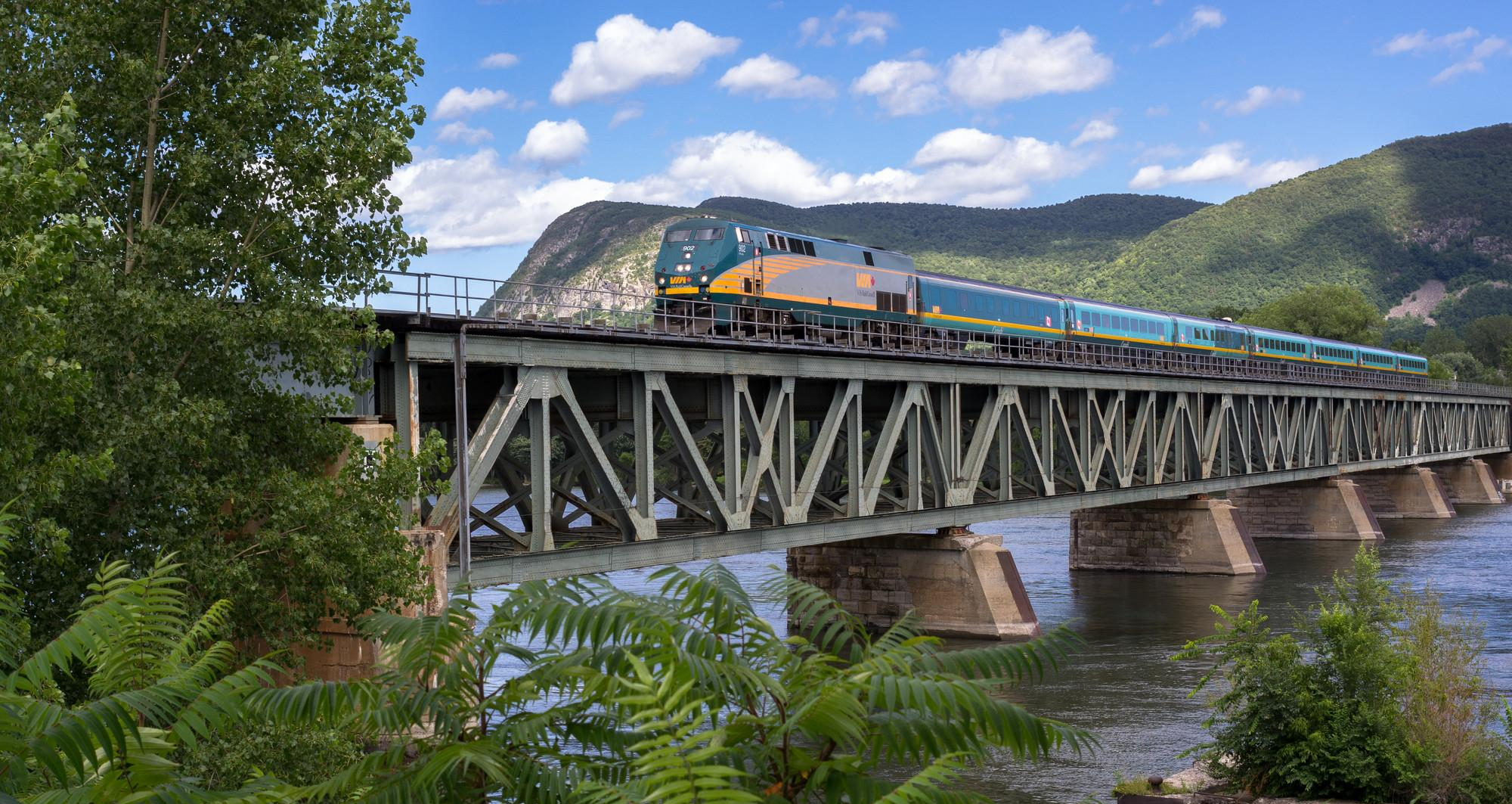
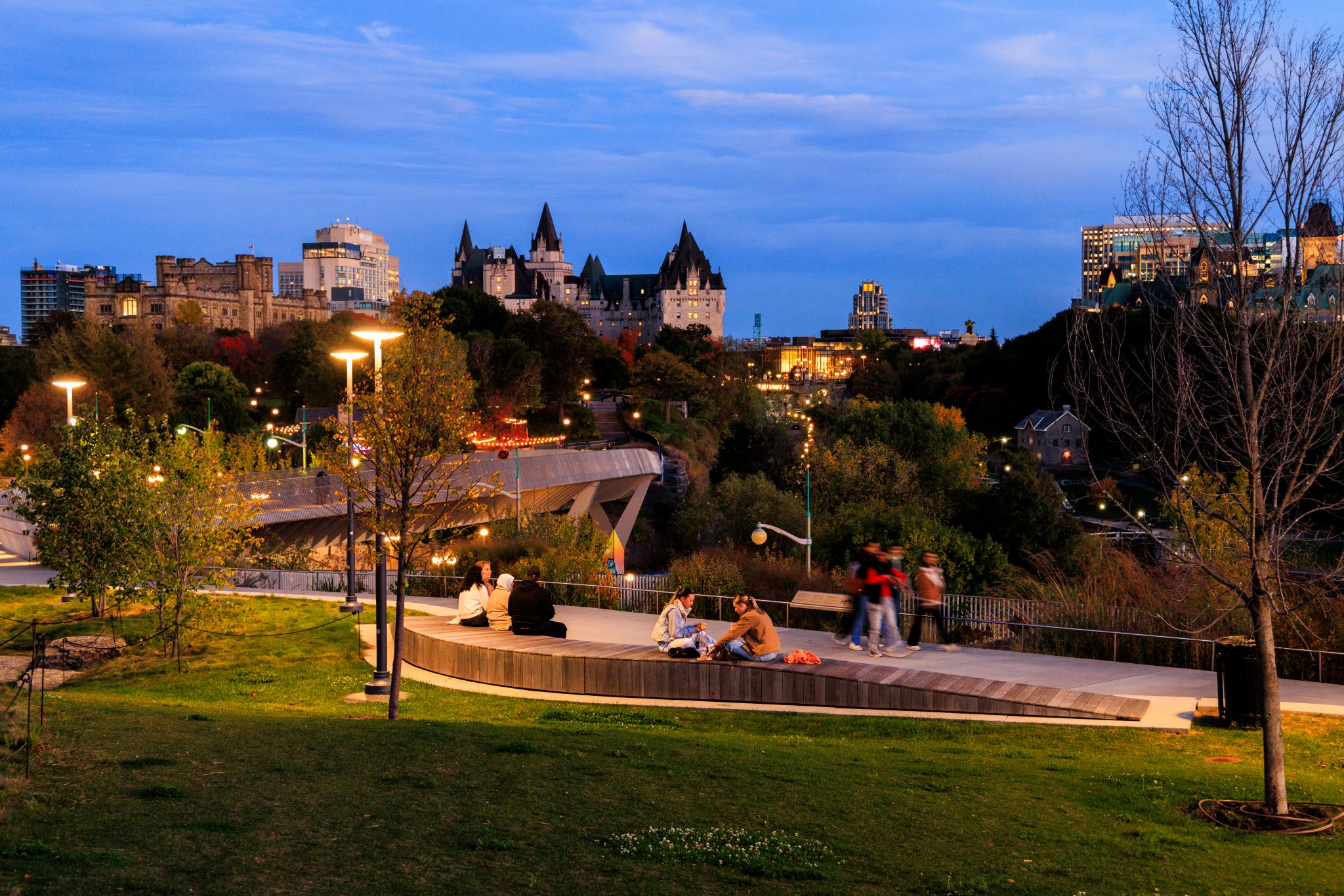

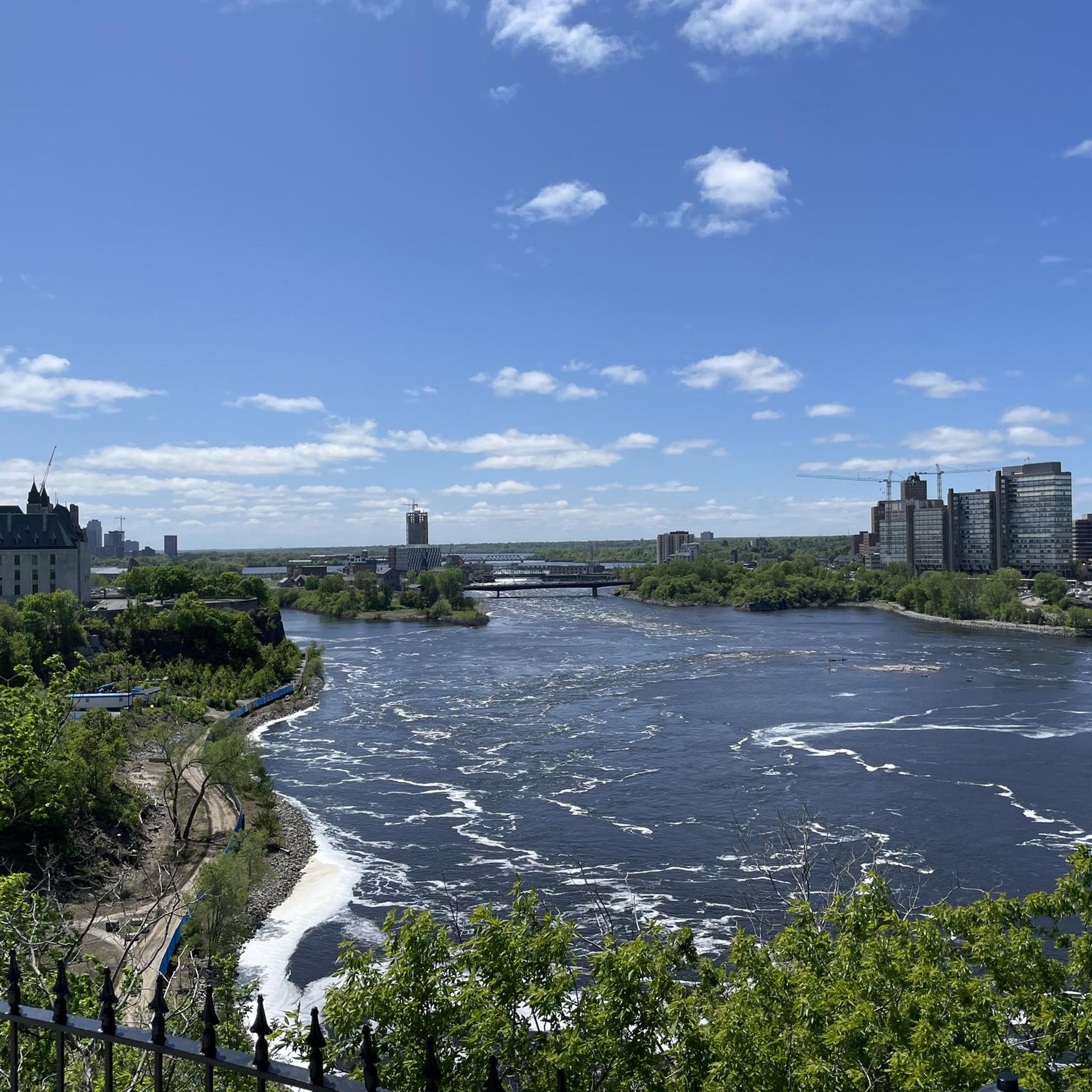
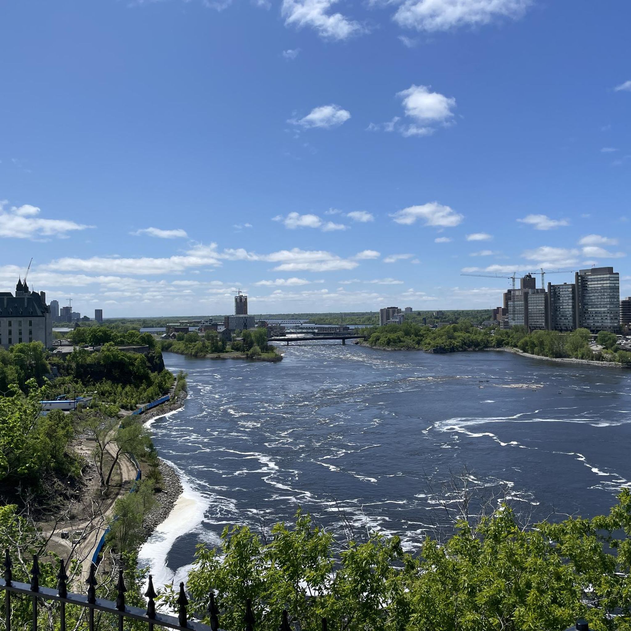

Other adventures around Ottawa


Tips from the Community

Dominion Arboretum is open from dawn to dusk and free to enter. This pathway leads past Dow's Lake and onward to Rideau Canal.
1
0

Spanning the Ottawa River between Ottawa and Gatineau, the Champlain Bridge provides wide views across one of Canada's most important waterways. From here you can watch boats navigating the river, spot waterbirds along the shoreline, and take in views of wooded islands and the surrounding riverbanks. Opened in 1928 and rebuilt in the early 1970s, the bridge remains a key link between Ontario and Quebec while offering a unique perspective over the Ottawa River's broad channel.
0
0
This mostly level, paved multi-use pathway follows the Ottawa River towards the city centre, with frequent water views and glimpses across to Gatineau. It is shared by walkers, runners, and cyclists, while the riverside section is groomed for winter hiking, skiing, snowshoeing, and fat biking as part of the Kìchì Sìbì Winter Trail.
0
0

Parc Moussette Beach is a free waterfront park with a long stretch of sand, reaching over 400 meters, and plenty of room for large groups. There's a swimming area with summer lifeguards typically keeping an eye on swimmers from Monday to Friday, 10:00 am to 8:00 pm, and Saturday to Sunday, 10:00 am to 7:00 pm.
1
0

The NCC River House is a seasonal waterfront spot that sits right along the Ottawa River Pathway, with access to the river for swimming, paddling, and relaxing by the water. Set within a restored heritage boathouse, it includes changing facilities, docks, and places to sit while enjoying river views. In warmer months, it’s a popular stop for pathway users looking to take a break and spend time along the shoreline.
0
0

Attention as it is always flooded in places on this trail.
0
0

This trail follows along the banks of its namesake river for nearly 12 kilometers between Rideau Falls and the Rideau Canal at Hogs Back Falls. Along its path you'll pass through many parks and multiple bridges that can take you across the river. As such you can take this as an out and back route or take one of the bridges to the opposite side and create a nice loop.
0
0
Rideau Falls marks the scenic finale of the Rideau River where it drops into the Ottawa River. These twin waterfalls, were described as appearing like curtains by early French explorers, which then gave the name to the river and falls since rideau is French for curtain. Accessible by a network of riverside paths, the area offers a great vantage point to see the water’s power against the backdrop of the capital’s historic sites and parkland.
1
0
Frequently Asked Questions
How many touring cycling routes are available around Ottawa?
Ottawa boasts an extensive network of over 260 touring cycling routes. These paths integrate urban areas with diverse natural landscapes, offering options for various skill levels.
What kind of terrain can I expect on Ottawa's touring cycling routes?
Ottawa's cycling routes offer a diverse range of terrain. Many paths, such as those along the Rideau Canal and Ottawa River, are flat and paved, perfect for leisurely rides. For those seeking more challenge, areas like Gatineau Park feature rolling hills and significant elevation changes. The region provides a mix of urban and rural cycling experiences.
Are there any family-friendly touring cycling routes in Ottawa?
Yes, Ottawa is very family-friendly for cyclists. Many of the multi-use paths, particularly those along the Rideau Canal Pathway and parts of the Ottawa River Pathway, are flat, paved, and separate from vehicle traffic, making them ideal for families and beginners. The Greenbelt Pathway also offers beginner-friendly options with varied scenery.
What are some scenic viewpoints or natural features I can see along the cycling routes?
Ottawa's routes offer numerous scenic viewpoints and natural features. You can enjoy stunning views of the Ottawa River and Gatineau across the water, especially along the Ottawa River Pathway. The Pink Lake Lookout and Champlain Lookout in Gatineau Park provide spectacular vistas, particularly vibrant during autumn. You can also visit Hog's Back Falls near the Rideau Canal, or explore the unique boreal-like ecosystem of the Mer Bleue Bog within the National Capital Greenbelt.
Are there circular touring cycling routes available in Ottawa?
Yes, many of Ottawa's extensive multi-use pathways are designed to form circular routes, allowing cyclists to start and end at the same point. Examples include the popular Étienne Brûlé Lookout – Pink Lake Lookout loop from Westboro, or the Rideau Canal – Rockcliffe Park Bike Path loop from Lees, which offers a moderate ride along the canal and river.
What is the best time of year for touring cycling in Ottawa?
The best time for touring cycling in Ottawa is generally from spring to fall. Spring offers vibrant tulip displays along pathways, while summer provides warm weather for exploring. Autumn is particularly spectacular, with the fiery reds and golds of fall foliage in Gatineau Park creating picturesque backdrops. While winter cycling is possible on some maintained paths, many routes are better enjoyed in warmer months.
How accessible are Ottawa's cycling routes by public transport or car parking?
Ottawa's cycling network is well-integrated with urban areas, making many routes accessible by public transport. Numerous pathways have access points near bus stops. For those driving, various parks and attractions along the routes, such as those in Gatineau Park or near the Rideau Canal, offer designated parking areas. It's advisable to check specific route starting points for the most convenient parking or public transport options.
What do other touring cyclists enjoy most about cycling in Ottawa?
The touring cycling routes in Ottawa are highly rated by the komoot community, with an average score of 4.6 stars from over 750 reviews. Cyclists frequently praise the extensive network of multi-use paths, the stunning views along the Ottawa River and Rideau Canal, and the diverse natural landscapes found in areas like Gatineau Park and the National Capital Greenbelt. The blend of urban landmarks and serene natural settings is a common highlight.
Are there any challenging touring cycling routes in the Ottawa area?
Yes, for cyclists seeking a challenge, routes extending into Gatineau Park offer more significant elevation gains and varied terrain. For example, the Étienne Brûlé Lookout – Pink Lake Lookout loop from Westboro is rated as difficult, featuring substantial elevation gain over its 59.2 km distance, and leads through scenic lookouts in the park.
Can I find cafes or places to stop for refreshments along the cycling routes?
Yes, many of Ottawa's cycling routes, especially those within or near urban areas, pass by cafes, restaurants, and picnic spots. The pathways along the Rideau Canal and Ottawa River offer convenient access to amenities in downtown Ottawa and various neighborhoods. Gatineau Park also has facilities and rest stops, particularly along its parkways, where you can find refreshments.
Are dogs allowed on Ottawa's touring cycling trails?
While many parks and green spaces in Ottawa are dog-friendly, specific rules for dogs on multi-use cycling paths can vary. Generally, dogs on a leash are permitted on most pathways. However, it's always best to check local signage or the National Capital Commission (NCC) guidelines for specific sections of the Capital Pathway Network or within Gatineau Park to ensure compliance.
What is the Capital Pathway Network and how does it relate to touring cycling in Ottawa?
The Capital Pathway Network is Ottawa's vast interconnected system of over 600 kilometers of multi-use paths. It's central to touring cycling in the region, linking urban neighborhoods, parks, gardens, and national sites. It connects with the Trans Canada Trail and is part of the extensive Route Verte network, offering cyclists a seamless experience from city to countryside without traffic concerns.
Most popular routes around Ottawa
Most popular attractions around Ottawa

Get inspired with the komoot mobile app


Explore more
Browse the best Cycling routes in other regions.
