The best walks and hikes around Unorganized North Algoma
4.7
(32)
361
hikers
17
hikes
Hiking around Unorganized North Algoma is characterized by its untamed wilderness, dense forests, and the rugged coastline of Lake Superior. The region features diverse topography, including ancient forests, numerous lakes and rivers, and impressive waterfalls. Geological formations like those in Potholes Provincial Park add to the varied landscape.
Best hiking trails around Unorganized North Algoma
- The most popular hiking route is Robertson Cliffs via Ila’s Loop — Algoma Highlands, a 3.0 miles (4.8 km) trail that takes 1 hour…
Last updated: October 10, 2026
18
hikers
4.83km
01:36
230m
230m
Easy hike. Great for any fitness level. Easily-accessible paths. Suitable for all skill levels.
17
hikers
3.79km
01:00
30m
30m
Easy hike. Great for any fitness level. Easily-accessible paths. Suitable for all skill levels.

17
hikers
5.08km
01:24
80m
80m
Easy hike. Great for any fitness level. Easily-accessible paths. Suitable for all skill levels.
5.0
(2)
15
hikers
8.64km
02:47
350m
350m
Moderate hike. Good fitness required. Easily-accessible paths. Suitable for all skill levels.
2
hikers
3.25km
00:50
10m
10m
Easy hike. Great for any fitness level. Easily-accessible paths. Suitable for all skill levels.
Get access to more routes and recommendations from other explorers.
Already have an account?
Our route recommendations are based on thousands of hikes, rides, and runs completed by other people on komoot.
Start today with a free account
Your next adventure awaits.


Other adventures around Unorganized North Algoma

Tips from the Community

Lake Superior's sandy shoreline sits within an easy, short walk of the Pancake Bay Provincial Park campground. This access point also ties in with the Pancake Bay Nature Trail, a 3.5 kilometre that loops from the beach into the forest and through a wetland.
0
0

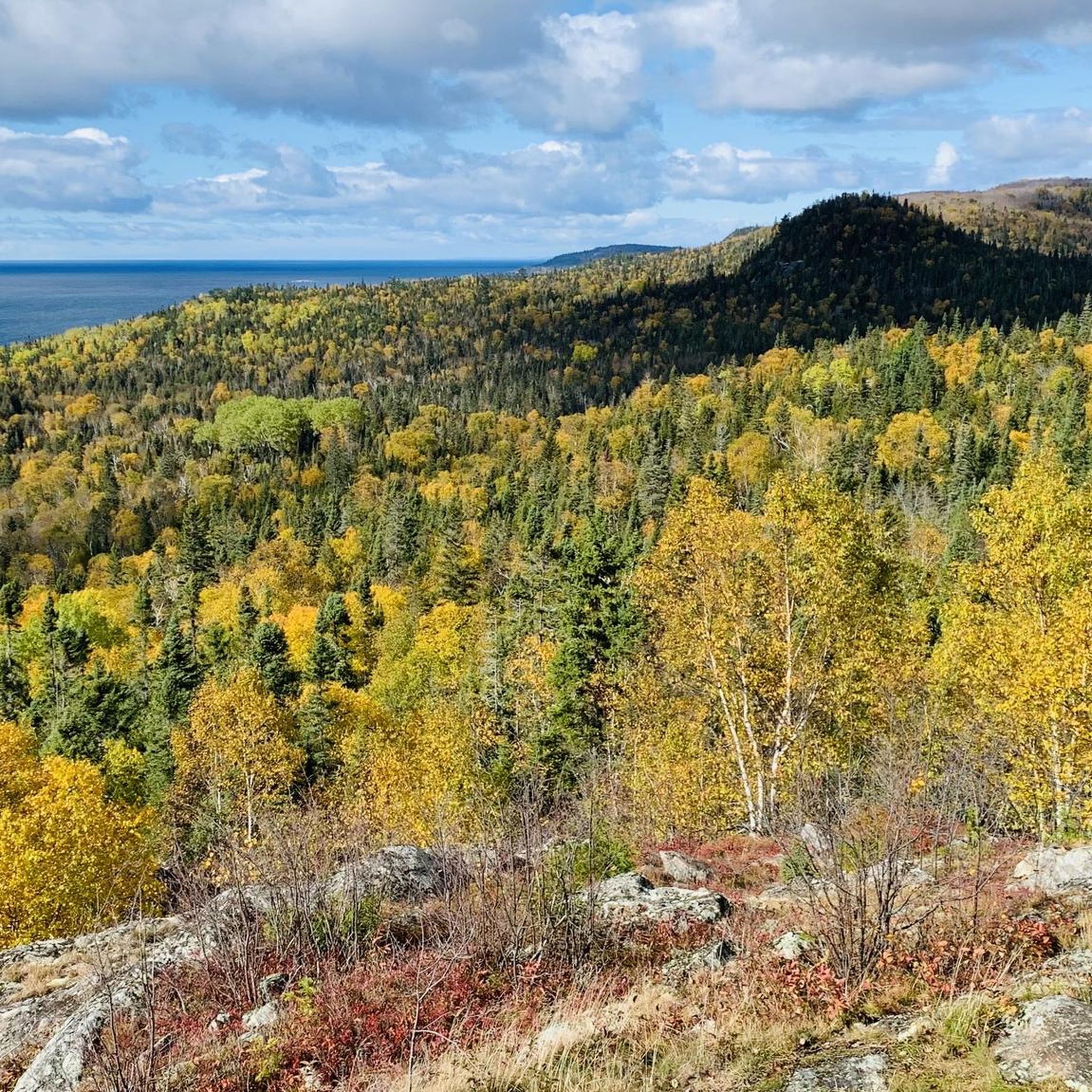
After a short ascent and a walking time of approx. 20 minutes – clockwise on the circular trail – you reach the first viewpoint at an altitude of about 270 meters; it is located a few meters off the Awausee Trail. The view extends over Agawa Bay in Lake Superior to the south and the chain of hills to the southeast. The Agawa River is visible in the dense forest on the plain. (Visit on May 30, 2026)
0
0
Pancake Provincial Park features various types of very old rocks, including basalt and boulder conglomerates. The famous conglomerate rock, located on the Nature Trail, formed about 1 billion years ago during the late Precambrian. The sedimentary rock was left behind by glaciers. (Visited on May 28, 2026) Source: https://www.ontarioparks.ca/park/pancakebay/activities
0
0
In the area north of Pancake Bay, there are old beach ridges dating back to the last ice age. The water level in Lake Superior has changed continuously over the millennia, and as the water receded, it left behind sand ridges mixed with gravel inland. The wetlands and bogs in the Provincial Park were formed between the old beach ridges. They are connected to flowing waters and are therefore nutrient-rich. The boardwalk leads across the slowly silting-up wetland. (Visit on May 28, 2026)
0
0
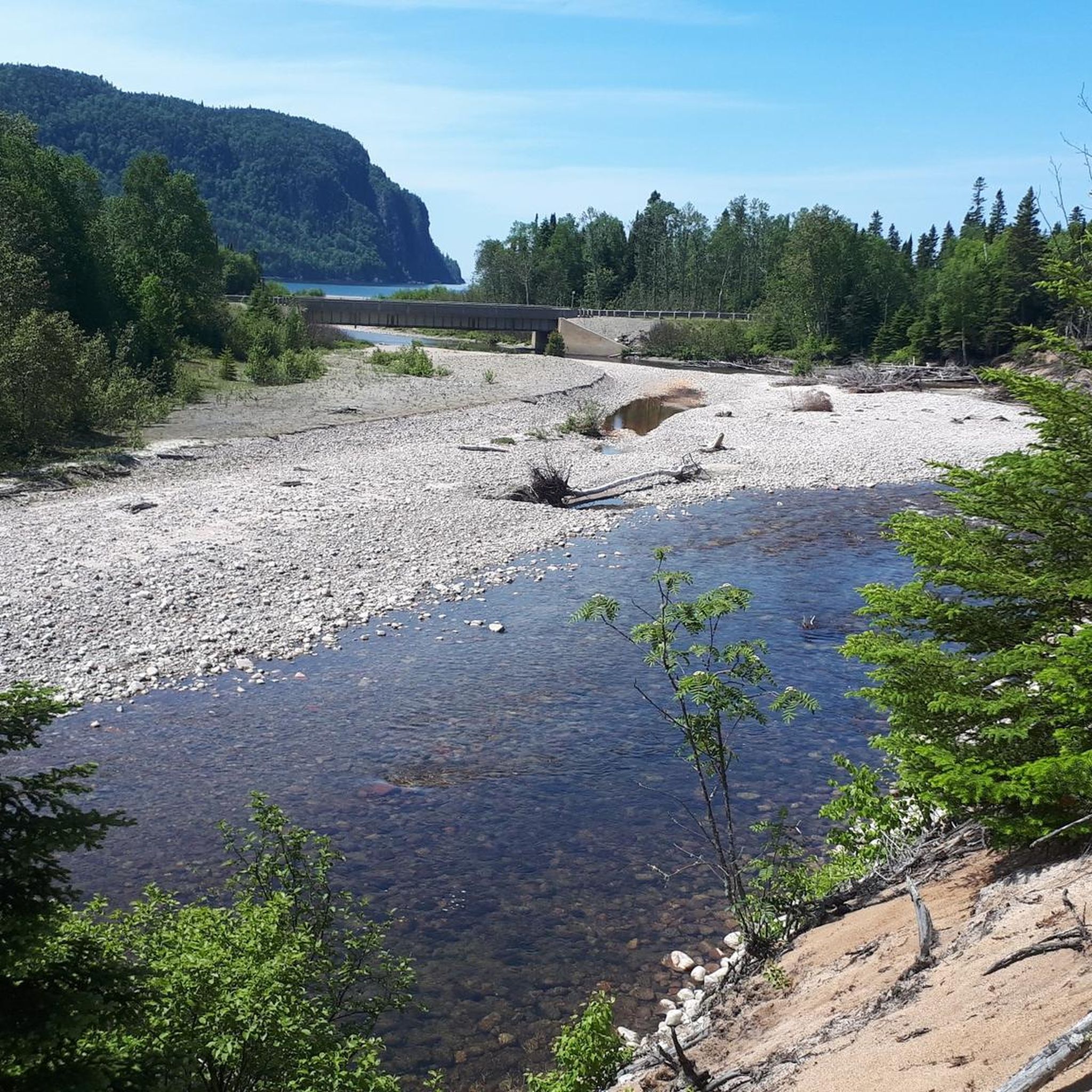
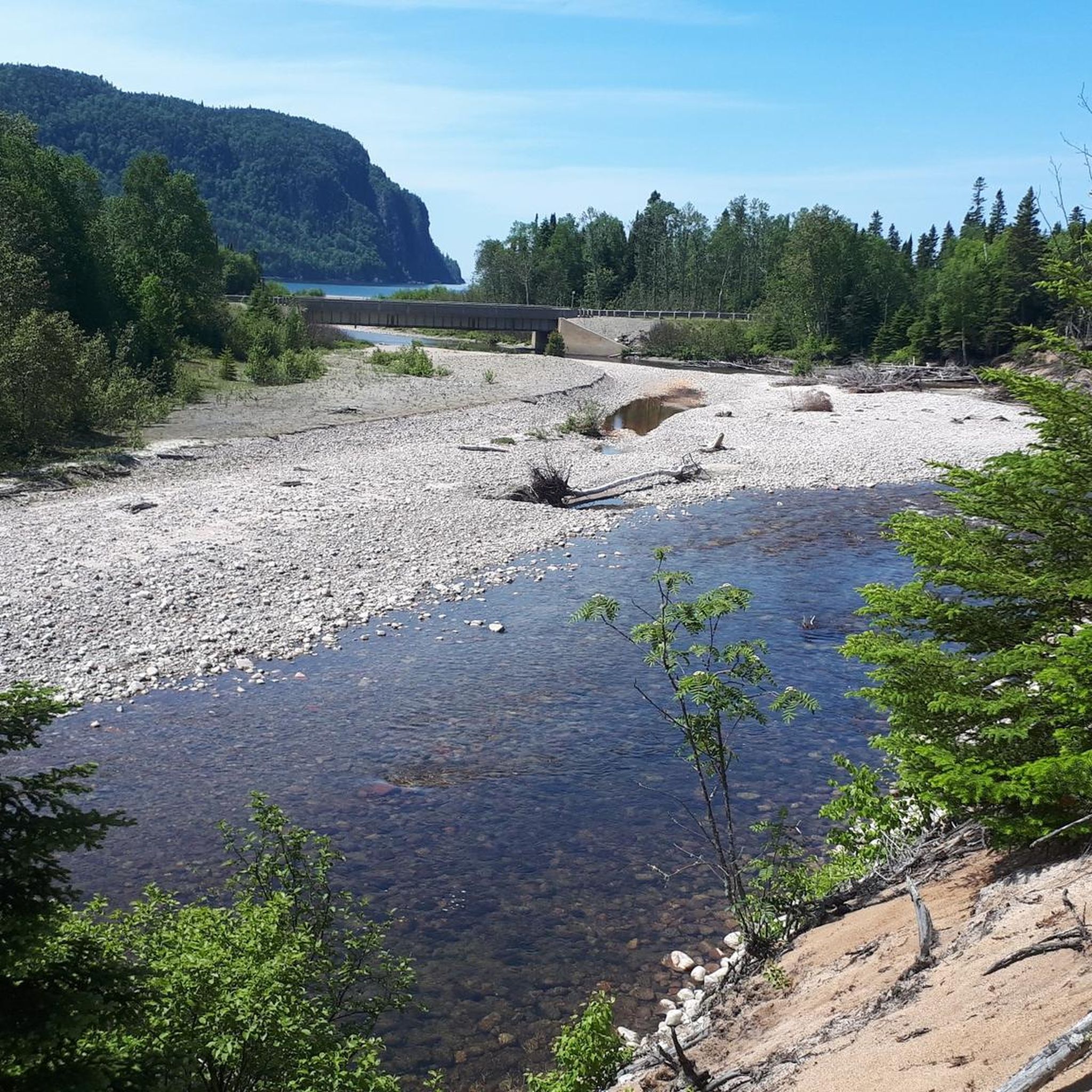
The Black Creek originates in the swamps and wetlands north of Pancake Bay Provincial Park, flows through the nature reserve and flows into Lake Superior on the sandy beach of the bay – before it has flowed for several hundred meters parallel to the beach behind the dune. At low water, you can cross the stream on the beach without any problems. (Visit on May 28, 2026)
0
0

The Sand River tumbles through a series of rapids and waterfalls before emptying into Lake Superior. For thousands of years, it served as an important travel route for Indigenous peoples and later became part of the fur trade network linking the Great Lakes with the Canadian interior.
0
0
The Pinguisibi Trail follows a rushing river through mixed forest to a series of waterfalls and rapids before reaching the broad, sandy shoreline of Lake Superior. Interpretive signs along the route explain the river's role in Indigenous travel and the fur trade, adding historical context to the hike.
0
0
Parking for the Crescent Lake Trail is available from a small roadside trailhead lot off Highway 17 within the park. You can park directly beside the signed trail entrance, with space for a handful of vehicles and limited room during busier summer weekends. There are no major facilities at the trailhead itself, though nearby day use areas within the park have washrooms and picnic areas
0
0
Frequently Asked Questions
How many hiking trails are available in Unorganized North Algoma?
There are over 10 hiking trails available in Unorganized North Algoma, offering a variety of experiences through its untamed wilderness, dense forests, and rugged Lake Superior coastline.
Are there easy hiking trails suitable for beginners or casual walkers?
Yes, the region offers several easy trails. For instance, the Robertson Cliffs via Ila’s Loop — Algoma Highlands is an easy 3.0-mile (4.8 km) route that provides scenic views of the valley. Another accessible option is the Lake Superior Coastal Trail to Katherine Cove — Lake Superior Provincial Park, a 3.1-mile (5.0 km) easy trail along the Lake Superior shoreline.
What kind of views can I expect on the hiking trails?
Hikers can expect diverse and breathtaking views. Many trails offer panoramic vistas of the majestic Lake Superior shoreline, ancient cobble beaches, and towering cliffs. Inland, you'll find lush forests, vast stretches of the boreal north, and dramatic landscapes, such as the valley views from Robertson Cliffs.
Are there any waterfalls to see along the hiking routes?
Yes, Unorganized North Algoma is dotted with impressive waterfalls. Notable highlights include Scenic High Falls on the Magpie River and Chippewa Falls on Highway 17, which is easily accessible. The region's unique geological formations, like those in Potholes Provincial Park, also feature miniature waterfalls carved by glacial erosion.
What wildlife might I encounter while hiking in Unorganized North Algoma?
The dense forests and boreal north of Unorganized North Algoma are home to a wide array of wildlife. Hikers might spot moose, deer, and black bears. The region is also a haven for birdwatchers, with over 95 species of birds inhabiting the area.
When is the best time of year to go hiking in this region?
The optimal time to visit for outdoor adventures and to fully experience the natural splendor of Unorganized North Algoma is during the summer months, with July often considered the peak season. Autumn also offers spectacular views, especially in areas like Agawa Canyon, when the foliage bursts into vibrant colors.
What do other hikers say about the trails in Unorganized North Algoma?
The routes in Unorganized North Algoma are highly rated by the komoot community, with an average score of 4.6 stars from over 20 reviews. Hikers often praise the untamed wilderness, the diverse topography, and the stunning views of Lake Superior.
Are there any family-friendly hiking options?
While specific family-friendly routes are not detailed, many of the easy trails, such as those within Lake Superior Provincial Park, are suitable for families. The accessible paths around Chippewa Falls also offer a pleasant outing for all ages.
What interesting places or landmarks can I explore near the trails?
Near the trails, you can explore several interesting landmarks. The Robertson Cliffs offer a breathtaking vista. You might also encounter the Winnie the Pooh Memorial or the William Henry 'Bill' Orazietti and Canine Heroes Memorial, adding unique points of interest to your trip.
Are there any circular hiking routes available?
Yes, there are circular routes available. The Robertson Cliffs via Ila’s Loop — Algoma Highlands is an example of a loop trail, allowing hikers to return to their starting point without retracing their steps.
What is the typical duration or length of hikes in the area?
Hikes in Unorganized North Algoma vary in length and duration. Many popular routes, like the Robertson Cliffs via Ila’s Loop, are around 3.0 miles (4.8 km) and take about 1 hour 36 minutes. Longer, moderate trails such as the Awausee Trail can be around 5.4 miles (8.6 km) and take over 2 hours to complete.
Is parking generally available at trailheads?
While specific parking details for every trailhead are not provided, popular hiking areas and provincial parks like Lake Superior Provincial Park and Pancake Bay Provincial Park typically offer designated parking facilities for visitors accessing their trail networks.
Most popular routes around Unorganized North Algoma
Most popular attractions around Unorganized North Algoma

Get inspired with the komoot mobile app


Explore more
Browse the best Hikes in other regions.
