The best road cycling routes around Mississauga
4.4
(55)
1,356
riders
57
rides
Road cycling around Mississauga features a diverse landscape, including extensive waterfront trails along Lake Ontario and scenic paths through river valleys. The city's infrastructure provides over 400 kilometers of bike lanes and multi-use trails, accommodating cyclists of various skill levels. Routes often follow the Credit River and Etobicoke Creek, offering a mix of natural settings and urban exploration. The terrain includes gentle gradients along the waterfront and some moderate climbs within the river valleys.
Best road cycling routes around Mississauga
- The most popular road cycling route is Mimico Creek Pedestrian Bridge – Humber Bay Arch Bridge loop from Port Credit, a 28.4 miles (45.7 km) trail that takes 1 hour 51 minutes to complete. This route offers scenic views along the waterfront.
- Another top favourite among local road cyclists is Lakeshore Drive – View of Lake Ontario loop from Clarkson, a moderate 32.3 miles (52.0 km) path. This route provides views of Lake Ontario and combines natural and urban elements.
- Local road cyclists also love the View of Lake Ontario – Lakeshore Drive loop from Winston Churchill Blvd At Deer Run, a 29.3 miles (47.1 km) trail leading through waterfront areas, often completed in about 1 hour 53 minutes.
- Road cycling around Mississauga is defined by waterfront trails, river valleys, and green spaces. The network offers options for different ability levels, from easy paths to more challenging rides.
- The routes in Mississauga are highly rated by the komoot community with an average score of 4.6 stars from over 40 reviews. More than 1,300 road cyclists have used komoot to explore Mississauga's varied terrain.
Last updated: August 28, 2026
4.7
(20)
613
riders
Easy road ride. Great for any fitness level. Mostly well-paved surfaces and easy to ride.
5.0
(2)
83
riders
50.0km
02:03
190m
190m
Moderate road ride. Good fitness required. Some segments of this route may be unpaved and difficult to ride.

Sign up for free
3.0
(2)
61
riders
Easy road ride. Great for any fitness level. Mostly well-paved surfaces and easy to ride.
5.0
(1)
36
riders
Easy road ride. Great for any fitness level. Mostly well-paved surfaces and easy to ride.
5.0
(2)
41
riders
48.9km
02:04
280m
280m
Moderate road ride. Good fitness required. Mostly well-paved surfaces and easy to ride.
Get access to more routes and recommendations from other explorers.
Sign up for free
Already have an account?
Our route recommendations are based on thousands of hikes, rides, and runs completed by other people on komoot.
Start today with a free account
Your next adventure awaits.
Login or Signup
Tips from the Community

Bronte Heritage Waterfront Park sits at the mouth of Bronte Creek on Lake Ontario, with open lawns, a sandy beach, beautiful views of the harbour and paths connecting to the Waterfront Trail. The park has a picnic area, washrooms, parking, and plenty of space to sit by the water, making it a great place to stop for a break or lunch while exploring the waterfront. While you’re here, look out for the colourfully painted Muskoka chairs scattered throughout that have become something of a local trademark.
0
0
From this spot along the waterfront, Lake Ontario opens up in every direction, where you can watch sailboats drifting past to and from the marina and spot an occasional heron or cormorant working the shoreline. The water's edge is home to waterfowl, turtles, and small fish, making it one of the best places along this stretch of shoreline to stop and watch the boats, and take in the open water.
0
0
Bronte Creek, officially known as Twelve Mile Creek, flows down from near Morriston through Bronte Creek Provincial Park before reaching Lake Ontario at Bronte Harbour. The village of Bronte was founded here in 1834, right where the creek meets the lake, and by the mid-1800s it grew into a busy port before becoming the marina and waterfront park it is today. Cabins once stood on both sides of the creek here also, built by freedom seekers who crossed the border via the Underground Railroad, making this stretch of water a significant part of Oakville’s Black history.
0
0

This 44-metre bridge creates a lovely, pedestrian-only linkage for the Waterfront Trail on either side of Mimico Creek. Its design is an intentional, if modestly scaled, mimic of the Humber River Arch Bridge to the north.
0
0

The Nine Creeks Trail stretches 12 kilometres, bringing hikers and bikers east and west across Mississauga. The paved pathway connects neighbourhoods, green spaces, and nine different creeks, as the name suggests. It is a popular trail in town, and maybe busy on weekends.
0
0
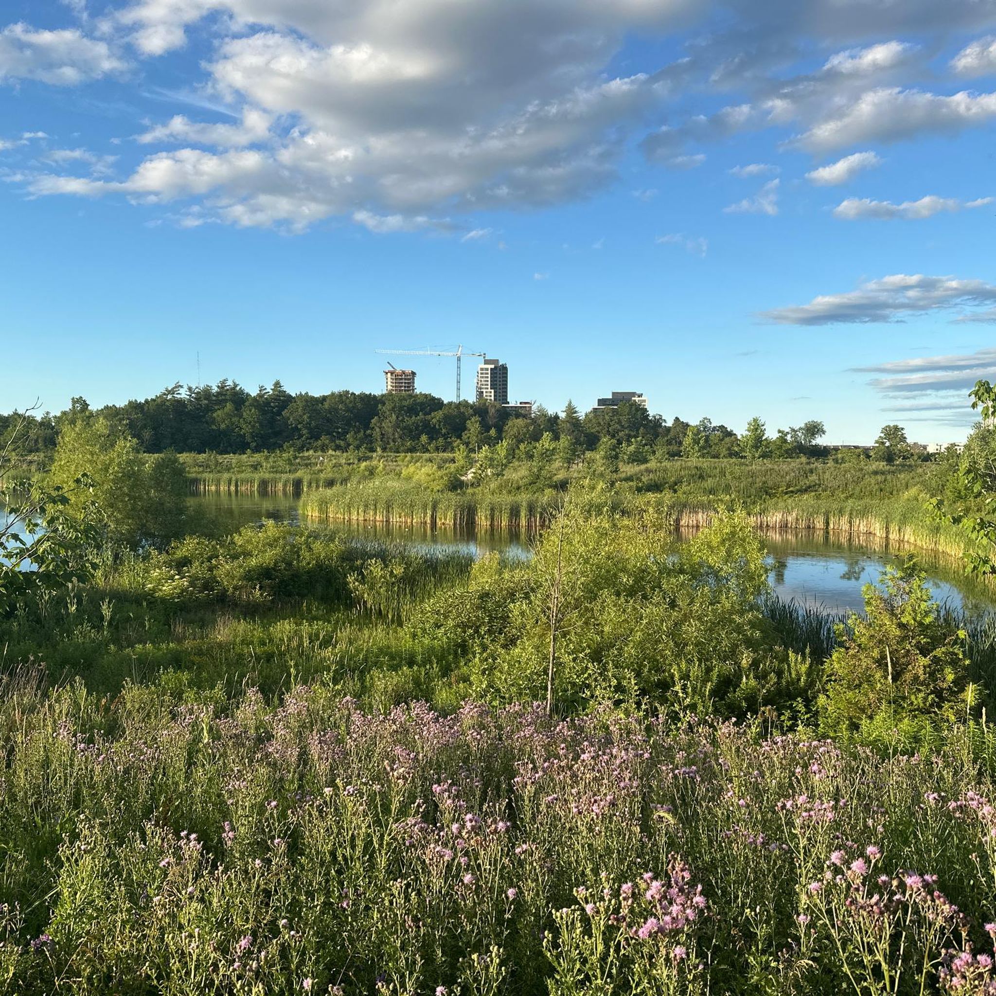
Whiteoaks Park sits in Mississauga’s Lorne Park neighbourhood but feels like a true escape into a remote forest. There is a trail network that brings hikers through thick forests, open grassy areas, and access points to Nine Creeks Trail.
0
0
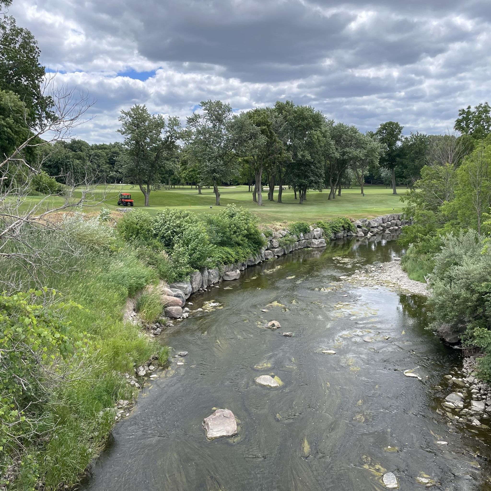
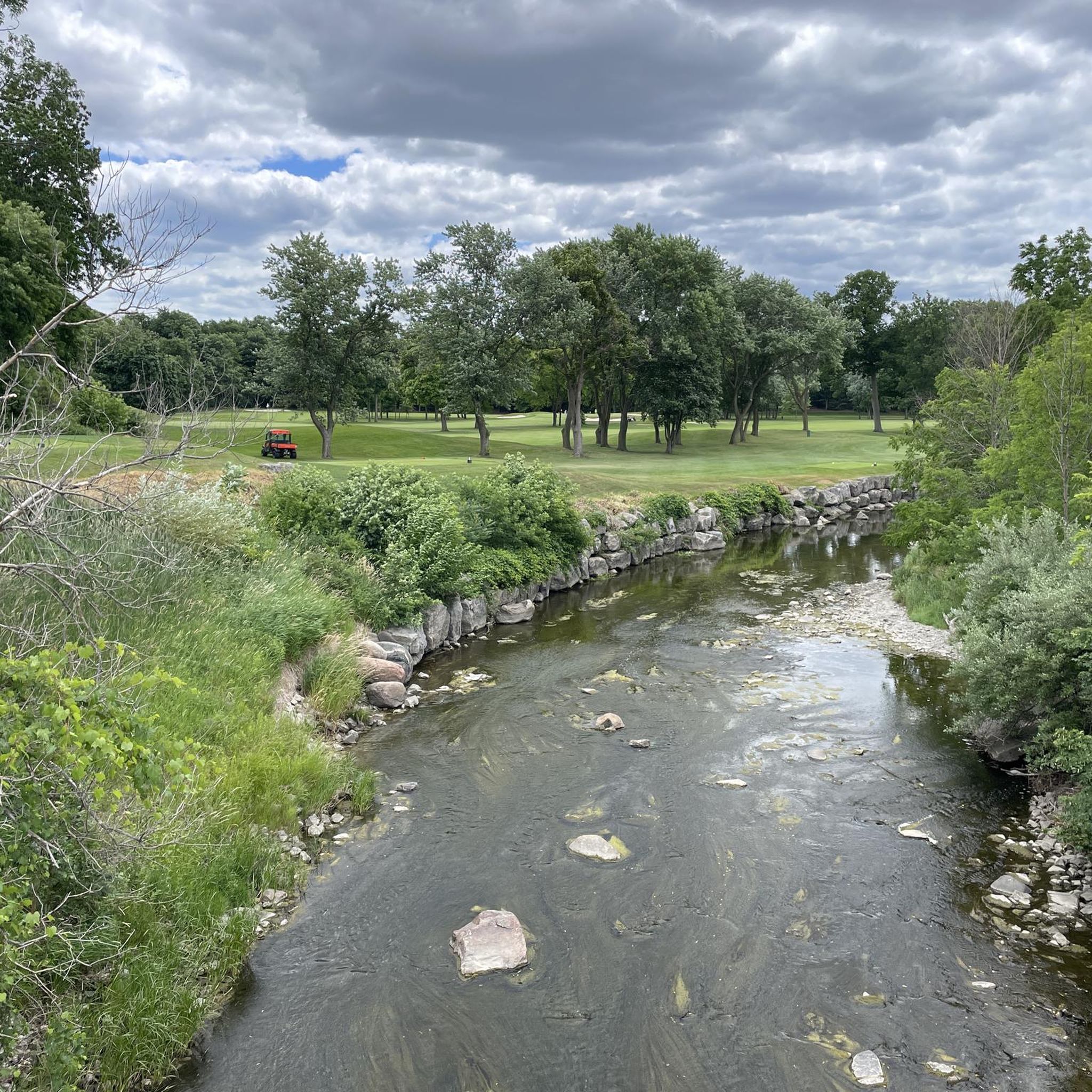
Nine Creeks Trail passes over Sheridan Creek, and there is a nice view from this bridge down to the waterway below. The creek is not very long; it only flows 6.5 kilometres through urban Mississauga, but it's very scenic and home to wild salmon and trout.
0
0

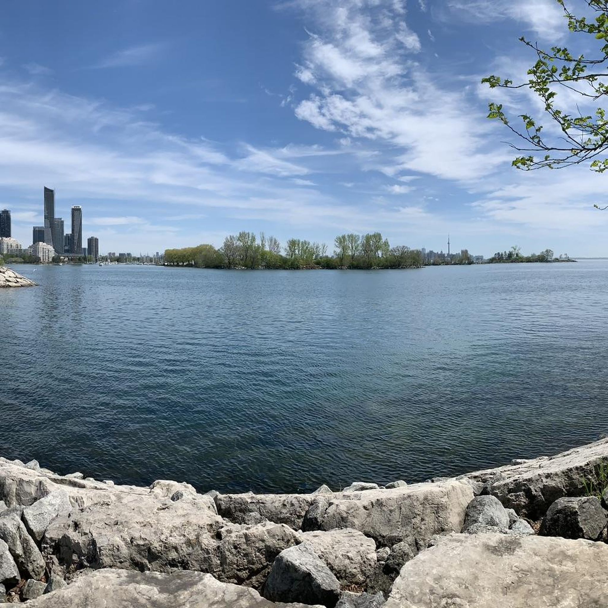
This trail runs along the shore of Lake Ontario, linking numerous city parks and beaches. Along the way you'll be treated to great views of the lake and Toronto's skyline.
0
0
Frequently Asked Questions
How many road cycling routes are available in Mississauga?
Mississauga offers a wide selection of road cycling routes, with over 70 routes available on komoot. These range from easy to moderate, catering to various skill levels.
What types of landscapes can I expect on road cycling routes in Mississauga?
Road cycling in Mississauga features diverse landscapes. You'll find extensive waterfront trails along Lake Ontario, scenic paths through river valleys like the Credit River and Etobicoke Creek, and routes passing through numerous parks and green spaces. The city boasts over 400 kilometers of bike lanes and multi-use trails.
Are there any easy road cycling routes suitable for beginners or families?
Yes, Mississauga has many easy road cycling routes. For instance, the Painters Green Park – Orangutan Forest loop from Sheridan Homelands is an easy 34.3 km ride. Many waterfront trails, like sections of the Great Lakes Waterfront Trail, also offer gentle, paved surfaces ideal for all ages.
Where can I find scenic routes with water views?
Mississauga's position along Lake Ontario provides numerous scenic waterfront routes. The Lakeshore Drive – View of Lake Ontario loop from Clearview is a popular option, offering beautiful lake views. The Waterfront Trail and Lakefront Promenade Park Trail are also excellent choices for enjoying the shoreline.
Are there any circular road cycling routes in Mississauga?
Many routes in Mississauga are designed as loops, offering a convenient circular experience. For example, the Mimico Creek Pedestrian Bridge – Humber Bay Arch Bridge loop from Port Credit is a 45.7 km circular route that provides scenic waterfront views.
What attractions or points of interest can I see along the routes?
Along Mississauga's road cycling routes, you can encounter various attractions. Near the waterfront, you might spot the iconic Humber Bay Arch Bridge or the Oculus Pavilion. Nature lovers can explore areas like the Rattray Marsh Conservation Area or the Bayshire Woods.
Are there any long-distance road cycling options in the area?
Yes, Mississauga offers several longer routes. The Lakeshore Drive loop from Dixie is a moderate 53.6 km path, and the Etobicoke Creek Trail stretches for a significant distance, even connecting north to Brampton and Caledon, providing opportunities for extended rides.
What do other cyclists say about road cycling in Mississauga?
The road cycling routes in Mississauga are highly rated by the komoot community, with an average score of 4.4 stars from over 40 reviews. Cyclists often praise the diverse terrain, from waterfront paths to river valleys, and the well-maintained network of trails and bike-friendly roadways.
Can I find routes that pass through natural preserves or parks?
Absolutely. Mississauga is home to several natural preserves and parks with cycling access. The Credit River features trails like the Culham Trail, leading to Erindale Park and the Riverwood Conservancy. Rattray Marsh also offers unique trails and a boardwalk for nature viewing.
Are there any routes that offer a mix of urban and natural elements?
Many routes in Mississauga seamlessly blend urban and natural environments. The View of Lake Ontario – Lakeshore Drive loop from Winston Churchill Blvd At Deer Run is a moderate 47.1 km route that combines views of Lake Ontario with passages through developed areas, showcasing the city's diverse character.
What is the best time of year for road cycling in Mississauga?
Spring, summer, and fall generally offer the most pleasant conditions for road cycling in Mississauga, with mild temperatures and vibrant scenery. While some trails may be accessible in winter, conditions can vary, so it's always best to check local weather and trail reports.
Most popular routes around Mississauga
Most popular attractions around Mississauga

Get inspired with the komoot mobile app


Explore more
Browse the best Road cycling routes in other regions.
