The best walks and hikes around Adjala-Tosorontio
4.8
(113)
690
hikers
42
hikes
Hiking around Adjala-Tosorontio offers diverse landscapes shaped by the Niagara Escarpment and the Nottawasaga River. The region features rolling hills, extensive rural and agricultural settings, and areas with historical pine forests. This varied terrain provides a range of natural environments for outdoor exploration.
Best hiking trails around Adjala-Tosorontio
- The most popular hiking route is Oak Ridges Lowlands loop from Palgrave, a 6.9 miles (11.1 km) trail that takes 2 hours 52 minutes to complete. This moderate route winds through…
Last updated: July 9, 2026
5.0
(1)
13
hikers
7.66km
01:59
50m
50m
Easy hike. Great for any fitness level. Easily-accessible paths. Suitable for all skill levels.
4.5
(2)
6
hikers
10.4km
02:42
70m
70m
Moderate hike. Good fitness required. Easily-accessible paths. Suitable for all skill levels.

Sign up for free
5.0
(1)
4
hikers
2.55km
00:40
10m
10m
Easy hike. Great for any fitness level. Easily-accessible paths. Suitable for all skill levels.
5.0
(1)
2
hikers
5.34km
01:27
70m
70m
Easy hike. Great for any fitness level. Easily-accessible paths. Suitable for all skill levels.
5.0
(7)
15
hikers
Moderate hike. Good fitness required. Easily-accessible paths. Suitable for all skill levels.
Get access to more routes and recommendations from other explorers.
Sign up for free
Already have an account?
Our route recommendations are based on thousands of hikes, rides, and runs completed by other people on komoot.
Start today with a free account
Your next adventure awaits.
Login or Signup
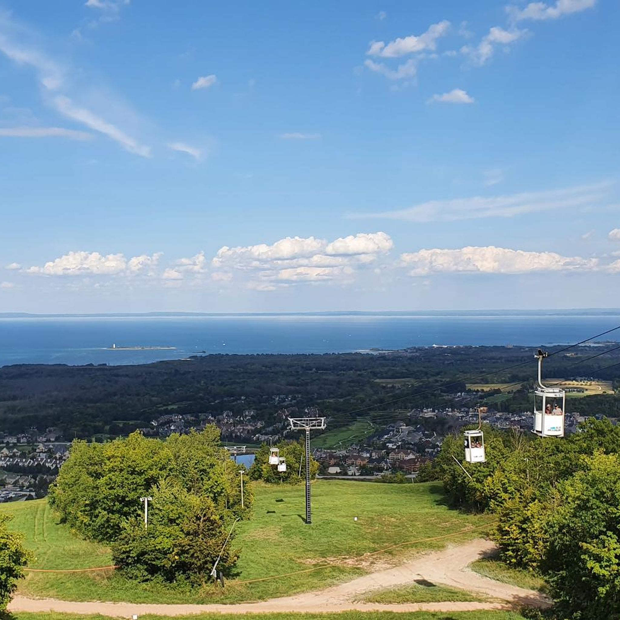
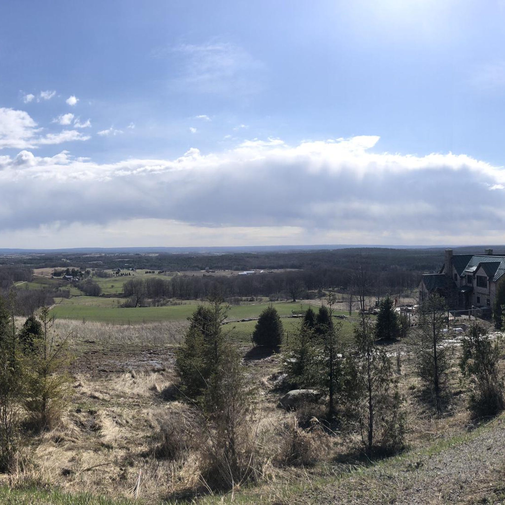
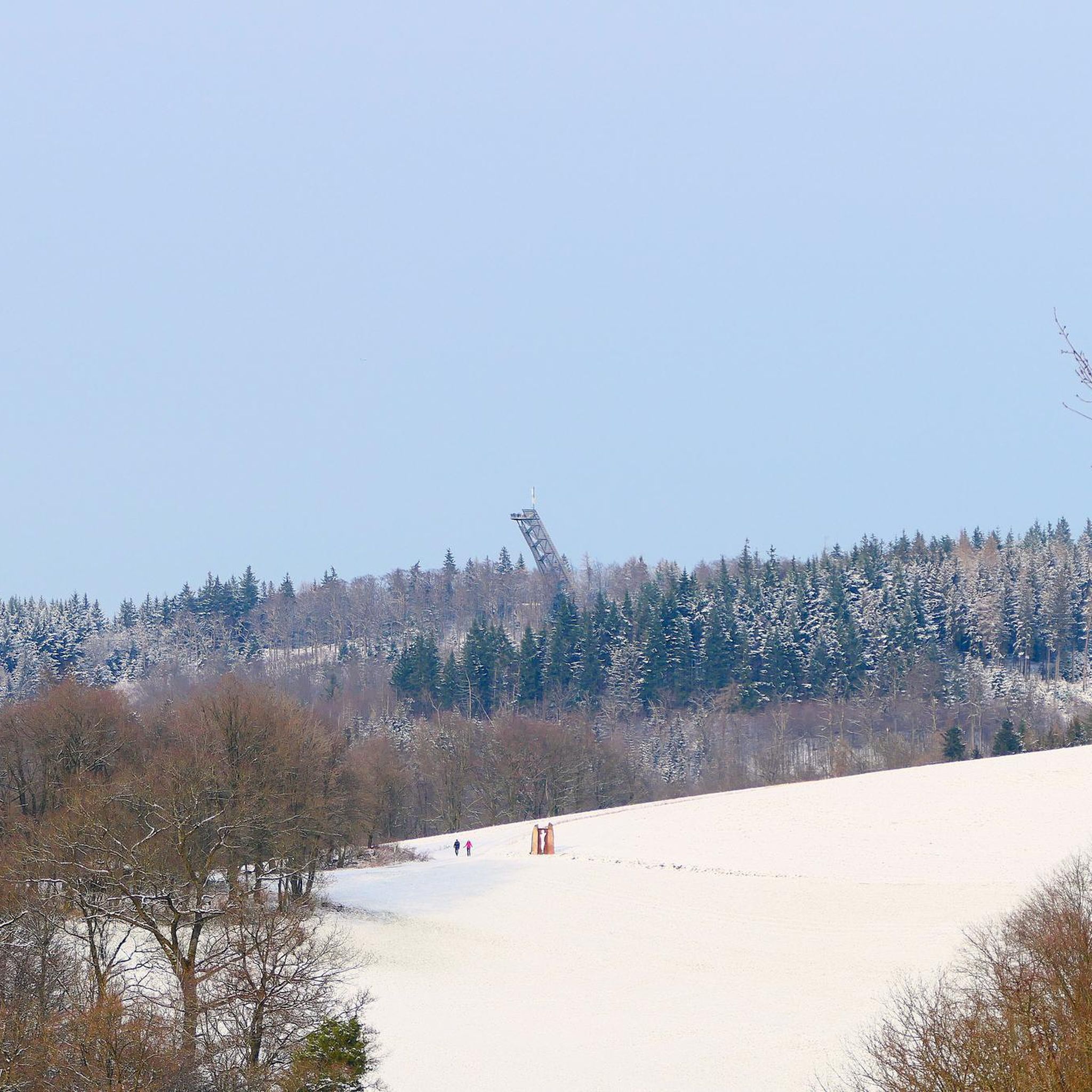
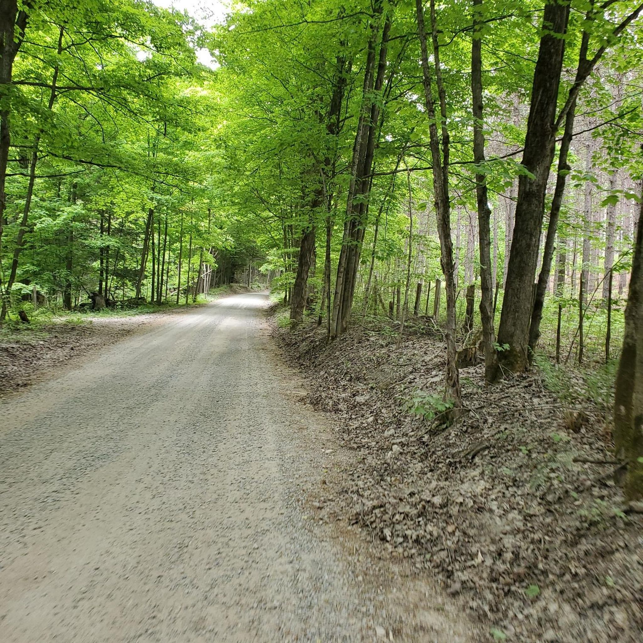
Tips from the Community

Centred around its namesake lake, this 312-hectare park offers a wide variety of outdoor activities. Visitors can enjoying hike and running on the trails, canoeing and kayaking on the lake, or relaxing at one of the beaches or picnic areas.
0
0
At roughly 12 kilometres in total this trail encircles Earl Rowe Lake in a provincial park of the same name. The trail is made up of mostly dirt and grassy sections, with just a bit of pavement here and there to connects sections of the trail together. There's a mix of single and double track and the path is generally well signed, though things can get confusing at intersections so it's a good idea to have your komoot map handy.
0
0
Set at the centre of its own provincial park, this lake offers a wide variety of recreational activities. The lake is open for canoeing and kayaking, and has trails around the perimeter to access the lakeside picnic areas and beaches.
0
0
A short section of the 900-kilometre Bruce Trail passes through the Glen Haffy Conservation area, seamlessly tying in with the park's own trail system. Whether you're taking on an epic journey across southern Ontario, or just out for a quick loop of Glen Haffy, you'll likely end up on this section of Canada's oldest long-distance hiking trail.
0
0
Great for beginners and welcoming to experienced anglers as well, the ponds at Glen Haffy Conservation Area are stocked with rainbow trout from the park's own hatchery. Bait is available for purchase, and please observe the "no live bait" policy in order to keep invasive species out of the waterways.
0
0
Located along the Niagara Escarpment with mature forest, fishing ponds, and crisscrossed with a network of trails, the Glen Haffy Conservation Area has a lot on offer. Fishing is a particularly popular activity here since the conservation area is home to its own hatchery which stocks the ponds with rainbow trout.
0
0

You can fish here, and the trail gets a little steeper near the river but never gets too difficult. The water that winds lazily by you eventually flows into Nottawasaga Bay in Lake Huron to the north.
0
0
This is one of two spots from which you can enter the park - look for the blue gate off of Line 13, where you can find street parking on either side. From here it is an easy walk to the main loop of the trail system.
0
0
Frequently Asked Questions
How many hiking trails are available in Adjala-Tosorontio?
Adjala-Tosorontio offers a diverse network of over 35 hiking trails. These routes cater to various skill levels, from easy walks to more challenging excursions, allowing you to explore the region's unique landscapes.
What are the typical difficulty levels of hikes in Adjala-Tosorontio?
The trails in Adjala-Tosorontio range from easy to difficult. You'll find approximately 18 easy routes, 17 moderate trails, and a few more challenging options, ensuring there's something for every hiker. The varied terrain, influenced by the Niagara Escarpment, contributes to this range of difficulties.
Are there any circular hiking routes in Adjala-Tosorontio?
Yes, Adjala-Tosorontio features several excellent circular routes. For example, the Oak Ridges Lowlands loop from Palgrave is a popular moderate option, and the Gazebo on the Bruce Trail – Maple Syrup Production Site loop from Mono Mills offers a longer, scenic experience.
What unique natural features can I expect to see while hiking in Adjala-Tosorontio?
Hiking in Adjala-Tosorontio allows you to experience the rolling hills of the Niagara Escarpment and the scenic Nottawasaga River. The region is characterized by its picturesque rural and agricultural settings, with remnants of historical pine forests. You might also encounter the diverse ecosystems supported by the Nottawasaga River, including wetlands.
What do other hikers enjoy most about the trails in Adjala-Tosorontio?
The trails in Adjala-Tosorontio are highly regarded by the komoot community, boasting an average rating of 4.8 stars from over 100 reviews. Hikers frequently praise the varied terrain, the serene rural atmosphere, and the well-maintained paths that offer a rewarding outdoor experience.
Are there any interesting landmarks or attractions near the hiking trails?
Yes, several points of interest are accessible from the hiking trails. You can visit the South Simcoe Railway – Tottenham Station, explore the unique Canyon Boardwalk in Mono Cliffs Provincial Park, or enjoy panoramic views from the Hockley Valley Lookout. The Gazebo on the Bruce Trail is also a notable spot.
Can I hike with my dog in Adjala-Tosorontio?
Many trails in Adjala-Tosorontio are dog-friendly, allowing you to enjoy the natural beauty with your canine companion. However, it's always recommended to check specific trail regulations or conservation area rules beforehand, and ensure your dog is leashed and you clean up after them.
Are there family-friendly hiking options suitable for children?
Yes, Adjala-Tosorontio offers several easy and moderate trails perfect for families with children. These routes often feature gentler inclines and shorter distances, providing an enjoyable outdoor experience for all ages. Earl Rowe Provincial Park also offers family-oriented walking opportunities.
What is the best time of year to go hiking in Adjala-Tosorontio?
Spring, summer, and fall all offer excellent hiking conditions in Adjala-Tosorontio. Spring brings lush greenery and blooming wildflowers, while fall showcases vibrant autumn foliage. Summer is ideal for longer days and warmer weather. Winter hiking is also possible, especially for snowshoeing in areas managed by the Nottawasaga Valley Conservation Authority, but requires appropriate gear.
Where can I find parking for the hiking trails?
Parking is generally available at trailheads and conservation areas throughout Adjala-Tosorontio. Specific parking details can often be found on individual route pages or by checking the websites of provincial parks like Earl Rowe Provincial Park or conservation authorities that manage certain trail networks.
Are there opportunities for wildlife spotting on the trails?
Adjala-Tosorontio's diverse natural environments, including the Nottawasaga River and its associated wetlands like the Minesing Wetlands, provide excellent opportunities for wildlife spotting. Hikers may encounter various bird species, small mammals, and other local fauna, particularly in quieter, more natural sections of the trails.
What is the longest challenging hike available in the area?
For experienced hikers seeking a challenge, the Hockley Valley Lookout loop from Sally's Pinnacle is a difficult 24.3 km (15.1 miles) trail. This route features significant elevation changes and typically takes over 6 hours to complete, offering extensive views of the scenic Hockley Valley.
Most popular attractions around Adjala-Tosorontio

Get inspired with the komoot mobile app


Explore more
Browse the best Hikes in other regions.
